Beech Copse
Wood, Forest in Berkshire
England
Beech Copse

Beech Copse, located in Berkshire, England, is a picturesque wood known for its dense canopy of towering beech trees. Stretching across approximately 100 acres, it is a popular destination for nature enthusiasts, hikers, and birdwatchers.
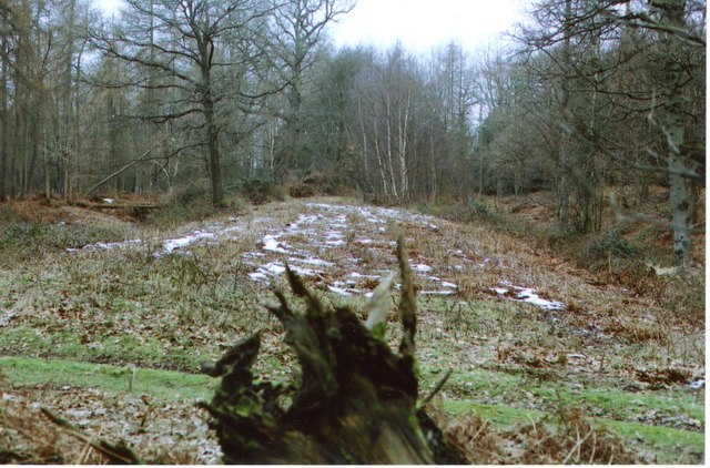
The wood is characterized by its rich biodiversity, providing a habitat for various wildlife species. The beech trees, with their smooth silver-gray trunks and vibrant green leaves, create a dense and shady environment beneath their canopy. This offers a cool and tranquil atmosphere, making it an ideal retreat from the bustling city life.
Walking through Beech Copse, visitors can discover a network of well-maintained footpaths, allowing them to explore the woodland's beauty at their own pace. The forest floor is carpeted with a variety of wildflowers, ferns, and mosses, creating a vibrant tapestry of colors throughout the seasons.
The wood is also home to a diverse range of bird species, making it a haven for birdwatchers. Visitors may catch a glimpse of woodpeckers, nuthatches, and various songbirds, adding to the serene ambiance with their melodious tunes.
Beech Copse is easily accessible, with well-marked entrances and ample parking facilities nearby. It is a popular destination for families, providing a safe and enjoyable environment for children to explore nature and learn about the local flora and fauna.
Overall, Beech Copse offers a tranquil escape into nature, with its majestic beech trees, diverse wildlife, and well-maintained footpaths. Whether for a leisurely stroll, birdwatching, or simply enjoying the beauty of the natural world, Beech Copse provides a serene retreat for visitors of all ages.
If you have any feedback on the listing, please let us know in the comments section below.
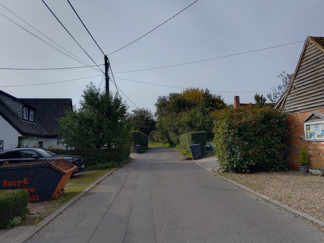
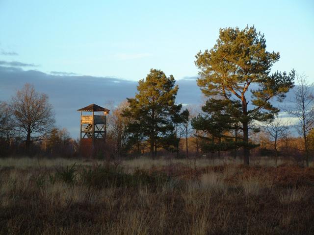
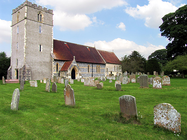
Beech Copse Images
Images are sourced within 2km of 51.449582/-1.3195032 or Grid Reference SU4772. Thanks to Geograph Open Source API. All images are credited.


Beech Copse is located at Grid Ref: SU4772 (Lat: 51.449582, Lng: -1.3195032)
Unitary Authority: West Berkshire
Police Authority: Thames Valley
What 3 Words
///trappings.busters.spinners. Near Winterbourne, Berkshire
Nearby Locations
Related Wikis
Snelsmore
Snelsmore is a hamlet in Berkshire, England, and part of the civil parish of Chieveley. The settlement lies near to junction 13 of the M4 motorway, and...

Chieveley services
Chieveley services is a UK motorway service station just off the M4 motorway at Chieveley near Newbury in Berkshire, England. It is owned by Moto. It is...
Bussock Camp
Bussock Camp is the site of an Iron Age bivallate hillfort located in Berkshire, England. It has a double bank and ditch to the south and east, with only...
Chieveley
Chieveley is a village and large civil parish centred 3.5 miles (5.6 km) north of Newbury in Berkshire, close to the M4 motorway and A34 road. Chieveley...

Mary Hare School
Mary Hare School is a residential co-educational Non-Maintained special school for deaf pupils in Newbury, Berkshire, England. It consists of around 230...

Chieveley House
Chieveley House, on the High Street in the village of Chieveley, Berkshire is a country house dating from the early 18th century. It is a Grade II* listed...

Winterbourne, Berkshire
Winterbourne is a village and civil parish in the Berkshire Downs about 3 miles (5 km) north of Newbury in West Berkshire. == Geography == Winterbourne...

Curridge
Curridge is a village in the civil parish of Chieveley in the English county of Berkshire. == Geography == Curridge is located in the south-east of the...
Nearby Amenities
Located within 500m of 51.449582,-1.3195032Have you been to Beech Copse?
Leave your review of Beech Copse below (or comments, questions and feedback).