Gisborne's Gorse

Wood, Forest in Leicestershire North West Leicestershire

England

Gisborne's Gorse

Mount St Bernard Abbey
Mount St Bernard Abbey Credit: AJD

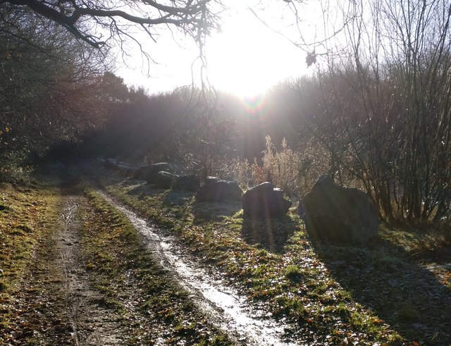
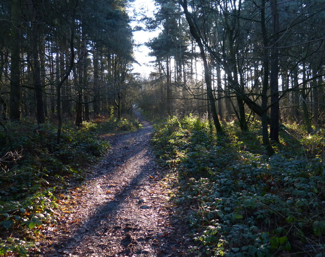
Gisborne's Gorse is a wooded area located in Leicestershire, England. It is situated in the heart of the National Forest, a designated area of woodland in central England. The Gorse covers an area of approximately 100 acres and is known for its diverse range of flora and fauna.

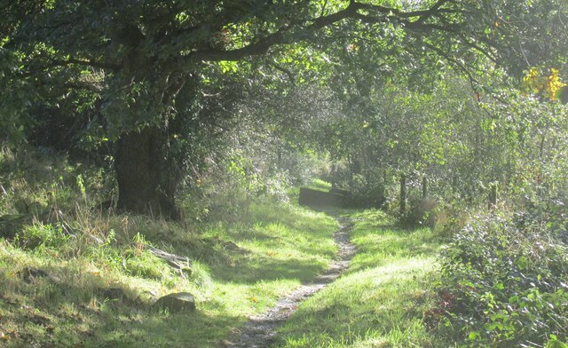
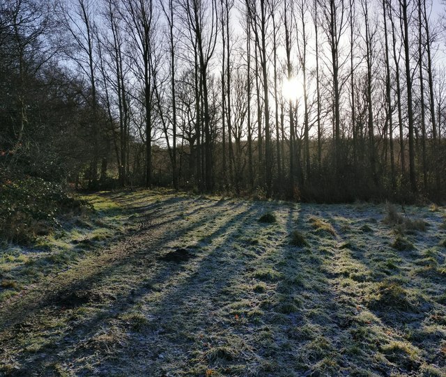
The woodland consists primarily of oak and ash trees, with an understory of holly and bramble. The forest floor is covered with a variety of wildflowers, including bluebells, primroses, and wood anemones, which create a vibrant display during the spring months.

Gisborne's Gorse is also home to a wide range of wildlife. It provides a habitat for numerous bird species, including woodpeckers, thrushes, and tawny owls. Mammals such as foxes, badgers, and squirrels can also be found within the woodland.

The Gorse is a popular destination for nature enthusiasts and walkers. It offers several well-marked trails that wind through the woodland, allowing visitors to explore its beauty and tranquility. The paths are suitable for all abilities, with options for both short strolls and longer hikes.

The management of Gisborne's Gorse is focused on preserving and enhancing its natural beauty. Conservation efforts include the removal of invasive species and the planting of native trees to maintain the integrity of the woodland.

Overall, Gisborne's Gorse is a picturesque and ecologically significant area within Leicestershire's National Forest. Its diverse plant and animal life, combined with its well-maintained trails, make it a must-visit destination for nature lovers and those seeking a peaceful retreat in the heart of England.

If you have any feedback on the listing, please let us know in the comments section below.

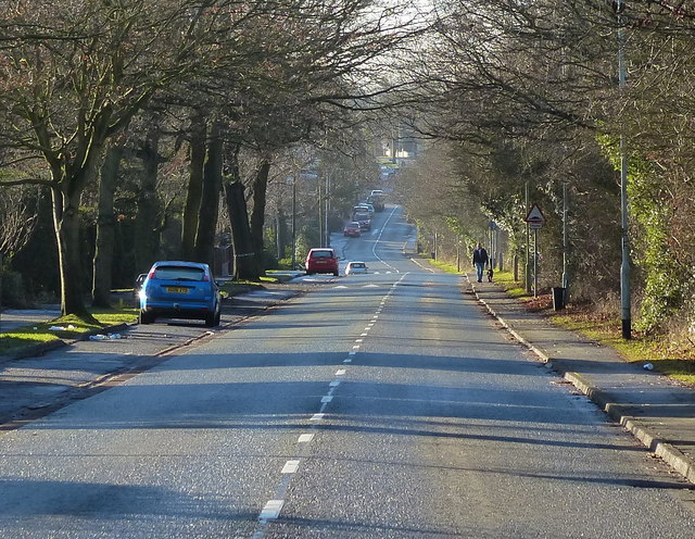
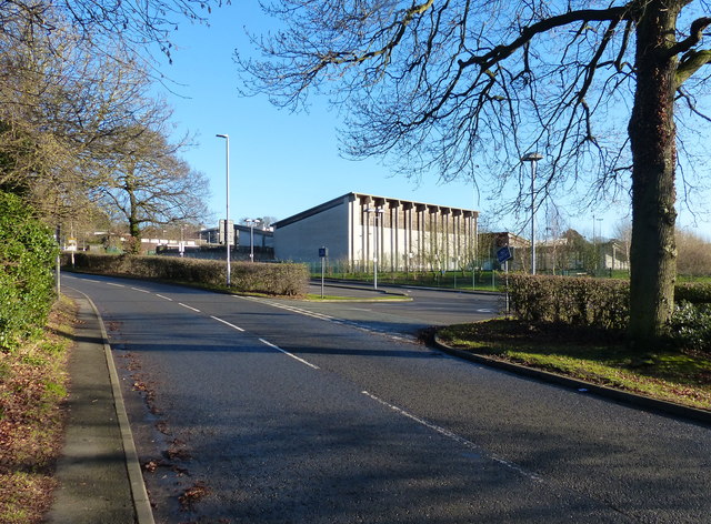
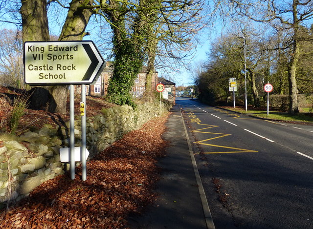
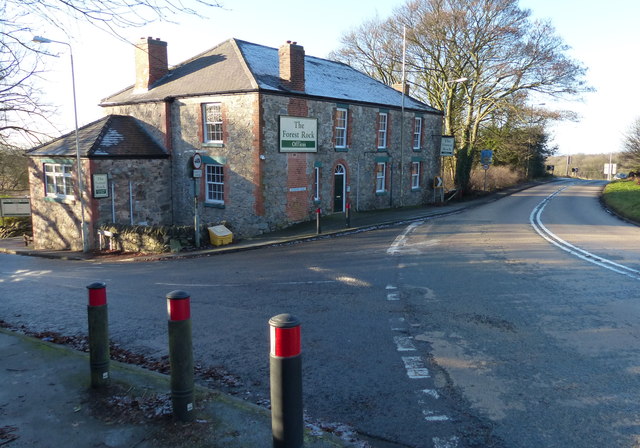
Gisborne's Gorse Images

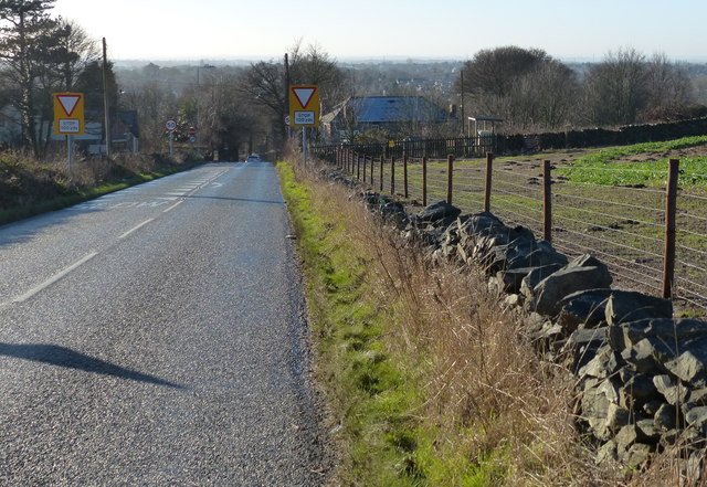
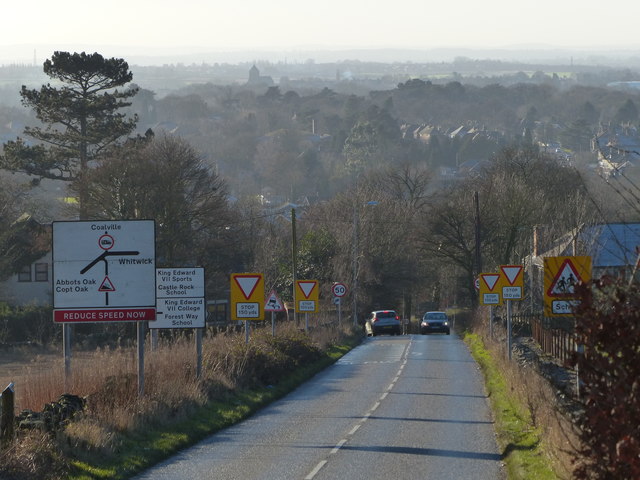
Images are sourced within 2km of 52.734138/-1.3054134 or Grid Reference SK4615. Thanks to Geograph Open Source API. All images are credited.

Mount St Bernard Abbey
Abbey Road towards Shepshed
The Lodge on Abbey Road at Charnwood
Charley Road from Abbey Road
Footpath near Upper Greenhill Farm Bardon Hill walk.
Footpath near Upper Greenhill Farm
Bardon Hill walk.
A wet M1, southbound The M1 is a north–south motorway connecting London to Leeds, where it joins the A1(M) near Aberford. It was the first motorway to be completed in the United Kingdom.
The motorway is 193 miles long and was constructed in four phases. Most of the motorway was opened between 1959 and 1968 but the southern end was extended in 1977 and the northern end was extended in 1999.
A wet M1, southbound
The M1 is a north–south motorway connecting London to Leeds, where it joins the A1(M) near Aberford. It was the first motorway to be completed in the United Kingdom. The motorway is 193 miles long and was constructed in four phases. Most of the motorway was opened between 1959 and 1968 but the southern end was extended in 1977 and the northern end was extended in 1999.
Low winter sunlight along the Ivanhoe Way The Ivanhoe Way has just left Vercor Close in Agar Nook, and is heading south towards Bardon Hill.
Low winter sunlight along the Ivanhoe Way
The Ivanhoe Way has just left Vercor Close in Agar Nook, and is heading south towards Bardon Hill.
The Ivanhoe Way towards Bardon Hill
Path through Bardon Hill Wood
Abbots View at Agar Nook, Coalville A new housing development on the edge of Coalville.
Abbots View at Agar Nook, Coalville
A new housing development on the edge of Coalville.
New houses at Abbots View A new housing development at Agar Nook, on the edge of Coalville.
New houses at Abbots View
A new housing development at Agar Nook, on the edge of Coalville.
Meadow Lane in Coalville
Castle Rock High School Along Meadow Lane in Coalville.
Castle Rock High School
Along Meadow Lane in Coalville.
Meadow Lane near Agar Nook, Coalville
The Forest Rock Offices A former pub on the corner of Leicester Road and Meadow Lane near Whitwick.
<a href="https://www.geograph.org.uk/photo/461810">SK4515 : The Forest Rock Hotel, Leicester Road</a>
The Forest Rock Offices
A former pub on the corner of Leicester Road and Meadow Lane near Whitwick. SK4515 : The Forest Rock Hotel, Leicester Road
Abbey Road descending towards Coalville
Show me another place!

Gisborne's Gorse is located at Grid Ref: SK4615 (Lat: 52.734138, Lng: -1.3054134)

Administrative County: Leicestershire

District: North West Leicestershire

Police Authority: Leicestershire

What 3 Words

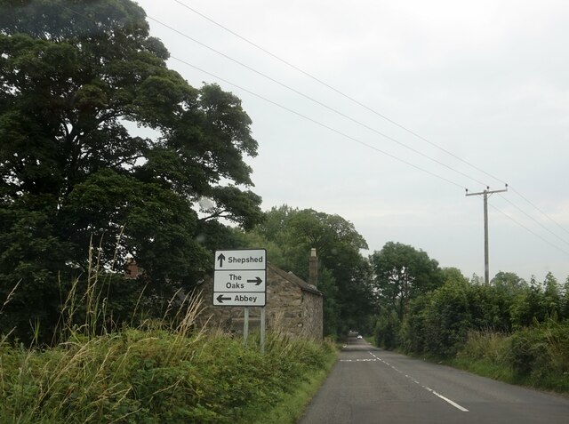
///promoting.full.bikes. Near Shepshed, Leicestershire

Related Wikis

Charnwood Lodge

Charnwood Lodge is a 134.2-hectare (332-acre) biological and geological Site of Special Scientific Interest in Charnwood Forest, east of Coalville in Leicestershire...

Oaks in Charnwood

Oaks in Charnwood is a hamlet of scattered houses in the English county of Leicestershire within the Charnwood Forest. Oaks in Charnwood is located in...

Charley, Leicestershire

Charley is a civil parish located in the North West Leicestershire district of Leicestershire, England. According to the 2001 census, it had a population...

Charley Woods

Charley Woods is a 26.8 hectares (66 acres) nature reserve north of Copt Oak in Leicestershire. It is owned and managed by the Leicestershire and Rutland...

Nearby Amenities

Located within 500m of 52.734138,-1.3054134
Alter Stone
Place: locality
Source: Bing
Lat/Long: 52.7330836/-1.3002017
Charnwood Lodge
Place: isolated_dwelling
Source: Bing
Lat/Long: 52.7372139/-1.3076447
Collier Hill
Place: locality
Source: Bing
Lat/Long: 52.7376851/-1.3048034
Timberwood Hill
Place: locality
Source: Bing
Lat/Long: 52.730113/-1.3036514
Barrier: kissing_gate
Lat/Long: 52.732796/-1.303514
The data included in this document is from www.openstreetmap.org. The data is made available under ODbL.

Have you been to Gisborne's Gorse?

Leave your review of Gisborne's Gorse below (or comments, questions and feedback).