Crossley Plantation
Wood, Forest in Nottinghamshire Ashfield
England
Crossley Plantation
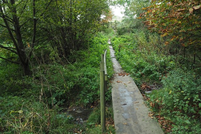
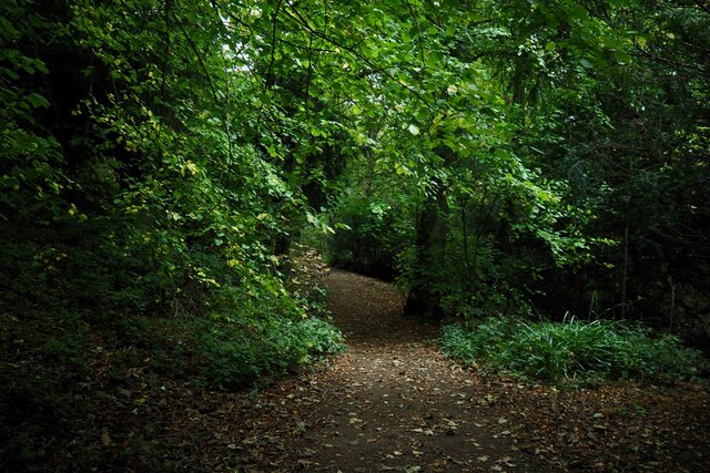
Crossley Plantation is an expansive woodland area located in the county of Nottinghamshire, England. Situated near the town of Wood, in the heart of the Forest of Nottinghamshire, this plantation covers a vast area of approximately 500 acres. The woodland is predominantly made up of a dense mix of deciduous and coniferous trees, creating a diverse and picturesque landscape.
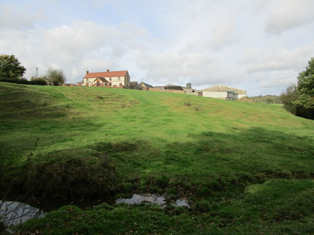
The plantation has a rich history, dating back several centuries. It was originally established as a hunting ground for the nobility in the medieval period, providing a sanctuary for wildlife and a recreational space for hunting parties. Over time, the area evolved into a working plantation, supplying timber for various industries in the region.
Today, Crossley Plantation is managed by the Nottinghamshire County Council, with the primary aim of preserving and enhancing the natural environment. The woodland offers a range of recreational activities for visitors, including walking trails, cycling routes, and birdwatching spots. The diverse ecosystem supports a wide variety of wildlife, including deer, foxes, and numerous bird species.
The plantation is also a popular destination for nature enthusiasts and photographers, who are drawn to its tranquil beauty and panoramic views. In addition to its natural attractions, Crossley Plantation hosts educational workshops and events, providing opportunities for both children and adults to learn about the importance of conservation and sustainable forestry practices.
Overall, Crossley Plantation is a cherished natural haven in Nottinghamshire, offering a unique blend of history, recreation, and environmental preservation.
If you have any feedback on the listing, please let us know in the comments section below.
Crossley Plantation Images
Images are sourced within 2km of 53.161283/-1.2983604 or Grid Reference SK4762. Thanks to Geograph Open Source API. All images are credited.


Crossley Plantation is located at Grid Ref: SK4762 (Lat: 53.161283, Lng: -1.2983604)
Administrative County: Nottinghamshire
District: Ashfield
Police Authority: Nottinghamshire
What 3 Words
///behind.jazzy.steer. Near Glapwell, Derbyshire
Nearby Locations
Related Wikis

Silverhill, Nottinghamshire
Silverhill is an artificial hill near Teversal in Nottinghamshire, and is one of the highest points in the county at 204.3 metres (670 ft). Originally...

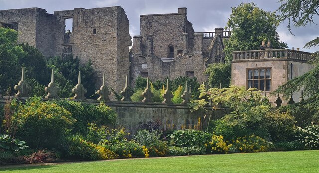
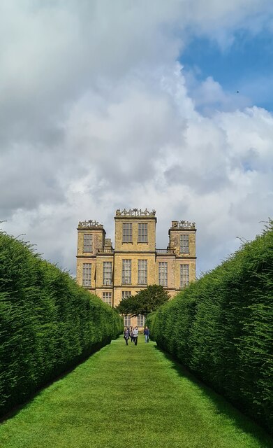
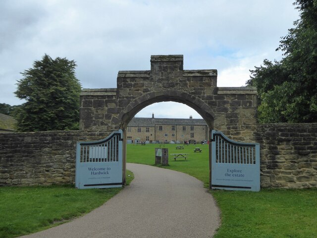
Hardwick Hall
Hardwick Hall in Derbyshire is an architecturally significant country house from the Elizabethan era, a leading example of the Elizabethan prodigy house...
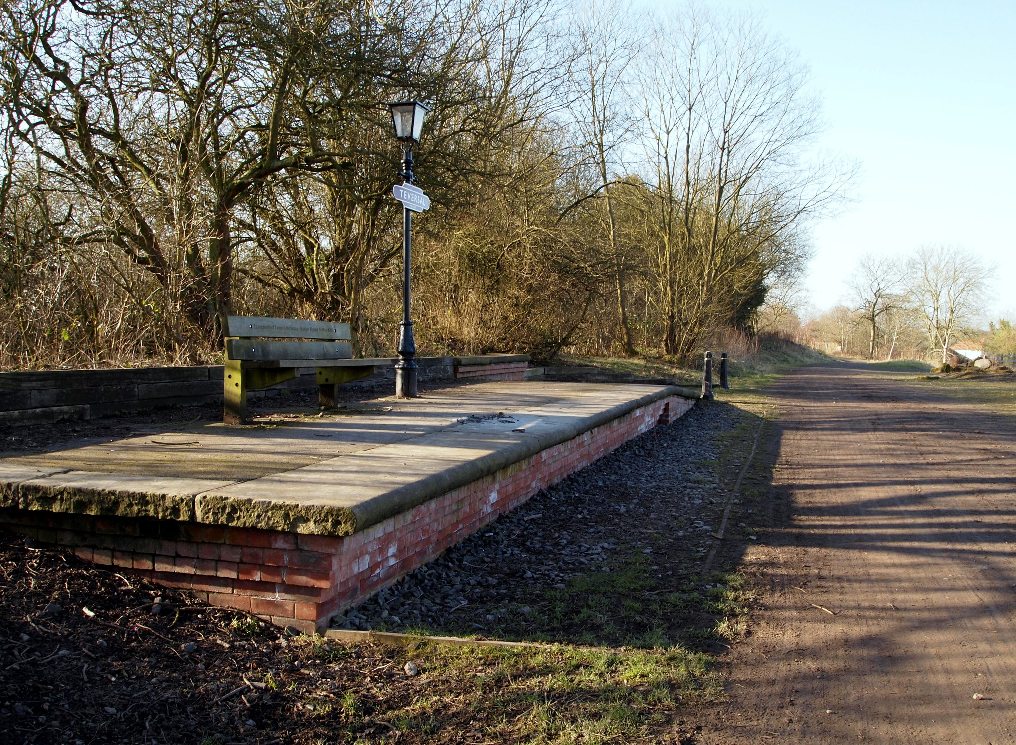
Teversall Manor railway station
Teversall Manor is a former railway station in Teversal, Nottinghamshire on the Derbyshire border west of Mansfield. == History == There were two stations...
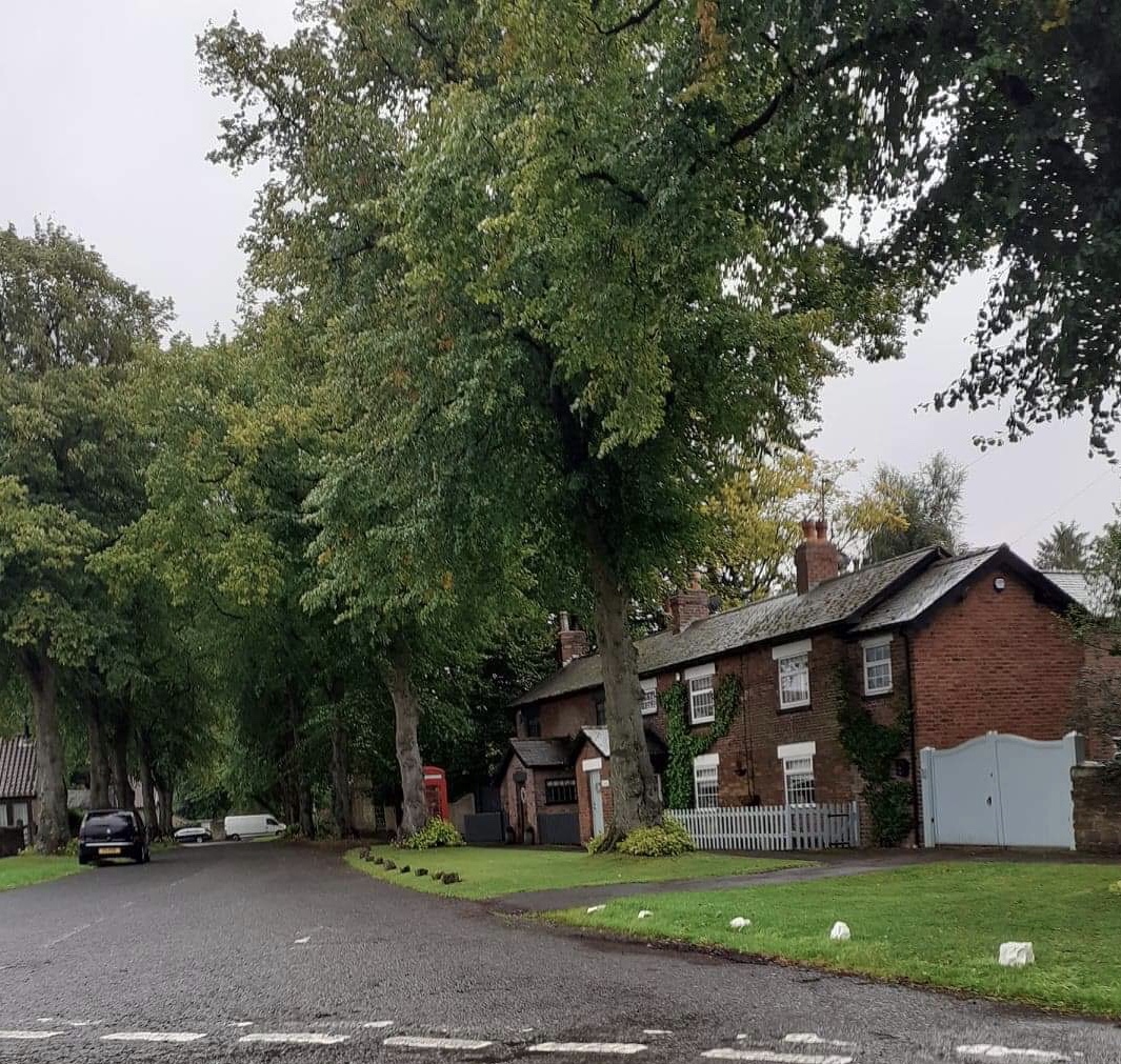
Teversal
Teversal is a village and former civil parish in the Ashfield district of Nottinghamshire, England. It lies north of Sutton-in-Ashfield and 3 miles (5...
Nearby Amenities
Located within 500m of 53.161283,-1.2983604Have you been to Crossley Plantation?
Leave your review of Crossley Plantation below (or comments, questions and feedback).