Three Corner Clump
Wood, Forest in Oxfordshire Cherwell
England
Three Corner Clump

Three Corner Clump is a picturesque woodland located in Oxfordshire, England. Covering an area of approximately 100 hectares, this forested area offers visitors an enchanting and tranquil escape from the hustle and bustle of urban life. The woodland is situated in the heart of the Chiltern Hills, a designated Area of Outstanding Natural Beauty.
The forest is predominantly composed of a mixture of broadleaf trees such as oak, beech, and birch, creating a diverse and rich ecosystem. The canopy of the trees provides a cool shade during the summer months, making it an ideal spot for a leisurely stroll or a picnic with family and friends.
Three Corner Clump is home to a diverse range of wildlife, including various bird species, such as woodpeckers and owls. Additionally, the forest floor is carpeted with a myriad of wildflowers and ferns, adding to its natural charm.
The woodland is crisscrossed with a network of well-maintained paths, enabling visitors to explore its beauty at their own pace. There are also designated picnic areas and benches scattered throughout the forest, allowing visitors to rest and take in the serene surroundings.
The proximity of Three Corner Clump to nearby villages and towns, such as Nettlebed and Henley-on-Thames, makes it easily accessible for both locals and tourists alike. The forest attracts visitors throughout the year, with each season offering its own unique charm, from the vibrant hues of autumn to the fresh greenery of spring.
In conclusion, Three Corner Clump in Oxfordshire is a captivating woodland that offers a peaceful retreat amidst nature's beauty. Its diverse flora and fauna, well-maintained paths, and tranquil atmosphere make it a popular destination for those seeking solace in the great outdoors.
If you have any feedback on the listing, please let us know in the comments section below.
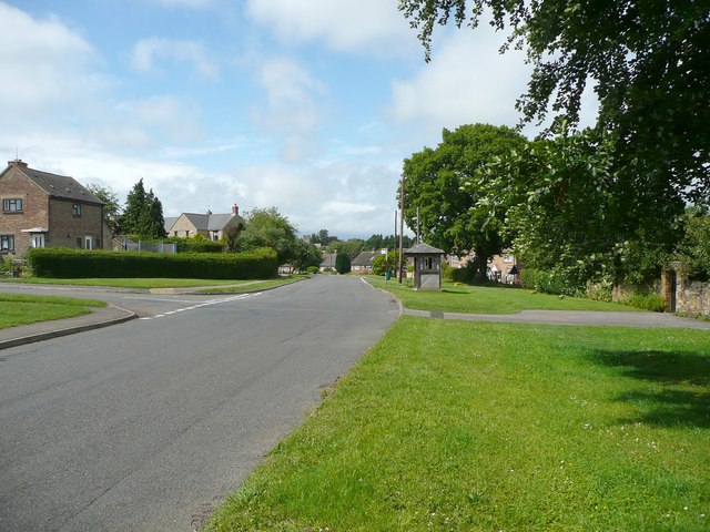
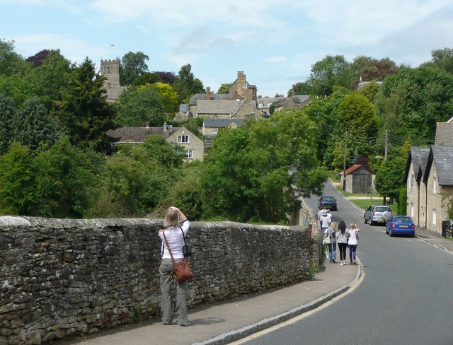
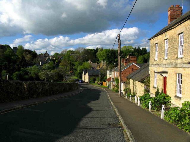
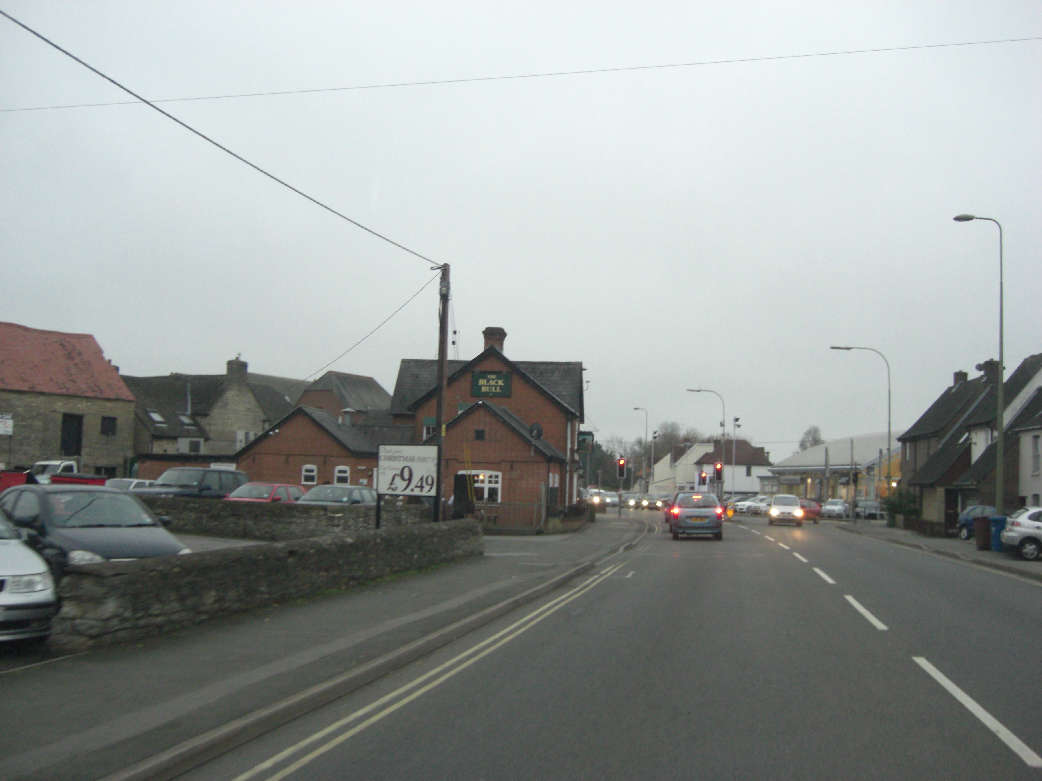
Three Corner Clump Images
Images are sourced within 2km of 51.938664/-1.317819 or Grid Reference SP4626. Thanks to Geograph Open Source API. All images are credited.


Three Corner Clump is located at Grid Ref: SP4626 (Lat: 51.938664, Lng: -1.317819)
Administrative County: Oxfordshire
District: Cherwell
Police Authority: Thames Valley
What 3 Words
///collapsed.inserting.luring. Near Somerton, Oxfordshire
Nearby Locations
Related Wikis

Middle Aston
Middle Aston is a hamlet and civil parish in the English county of Oxfordshire, about 7 miles (11 km) northwest of Bicester. It used to have a country...
Steeple Aston
Steeple Aston is a village and civil parish on the edge of the Cherwell Valley, in the Cherwell District of Oxfordshire, England, about 12 miles (19 km...

Horsehay Quarries
Horsehay Quarries is a 8.4-hectare (21-acre) geological Site of Special Scientific Interest west of Bicester in Oxfordshire. It is a Geological Conservation...
Horsehay Sand Formation
The Horsehay Sand Formation is a geological formation in England. Part of the Great Oolite Group, it was deposited in the Bajocian to Bathonian stages...
A4260 road
The A4260 is a road that leads from the A422 Henneff Way, Banbury to Frieze Way near Oxford. == History == === Romans === The route followed by the road...
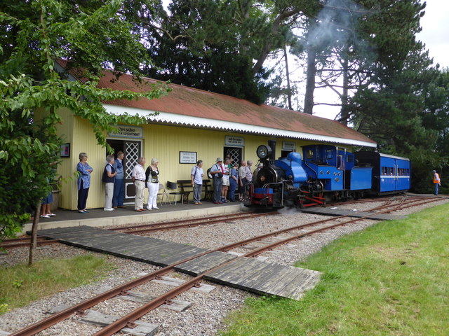
Beeches Light Railway
The Beeches Light Railway was a private narrow gauge railway in Steeple Aston, Oxfordshire, England, in the garden of the late Adrian Shooter, the former...
North Aston
North Aston is a village and civil parish about 7+1⁄2 miles (12 km) south of Banbury and 10 miles (16 km) north of Oxford. The 2001 Census recorded its...

Duns Tew
Duns Tew is an English village and civil parish about 7+1⁄2 miles (12 km) south of Banbury in Oxfordshire. The 2011 Census recorded the parish's population...
Nearby Amenities
Located within 500m of 51.938664,-1.317819Have you been to Three Corner Clump?
Leave your review of Three Corner Clump below (or comments, questions and feedback).