Begbroke Wood
Wood, Forest in Oxfordshire Cherwell
England
Begbroke Wood

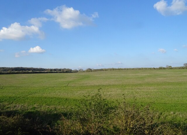
Begbroke Wood is a picturesque woodland located in Oxfordshire, England. Situated just outside the village of Begbroke, it covers an area of approximately 30 acres and is a popular destination for nature enthusiasts and walkers alike.
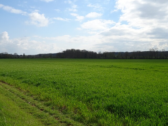
The wood is predominantly made up of native broadleaf trees, with oak, ash, beech, and birch being the most common species. The dense canopy provides a haven for a variety of wildlife, including birds, squirrels, and deer. The forest floor is covered in a carpet of bluebells during the spring, creating a stunning display of color.
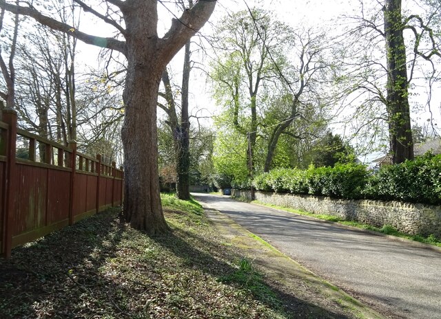
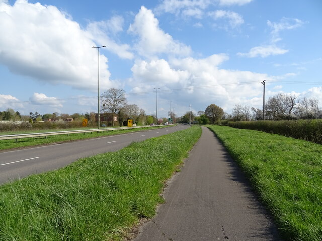
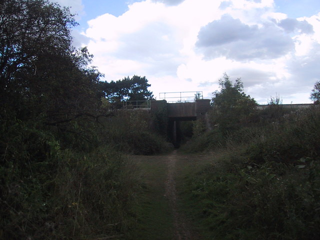
Traversing the wood is a network of well-maintained footpaths, allowing visitors to explore the area at their own pace. These paths wind through the woodland, leading visitors past ancient trees, babbling streams, and charming clearings. The atmosphere is peaceful and tranquil, providing a welcome escape from the bustle of everyday life.
Begbroke Wood is managed by a local conservation group, who work tirelessly to maintain the natural beauty of the area. They regularly organize guided walks and educational events to raise awareness about the importance of woodland conservation.
In addition to its natural beauty, Begbroke Wood also has historical significance. The remains of an Iron Age hillfort can be found on the edge of the woodland, adding an extra layer of intrigue for history enthusiasts.
Overall, Begbroke Wood is a hidden gem in Oxfordshire, offering visitors a chance to immerse themselves in nature and experience the tranquility of a traditional English woodland.
If you have any feedback on the listing, please let us know in the comments section below.
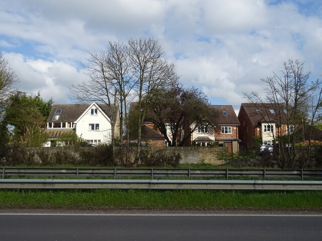
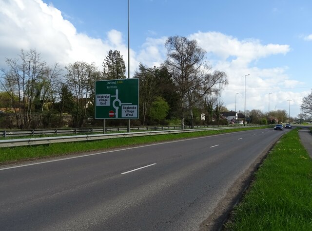
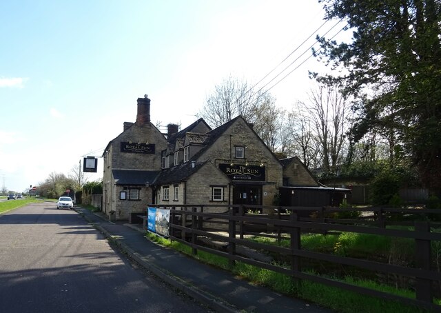
Begbroke Wood Images
Images are sourced within 2km of 51.815235/-1.3256169 or Grid Reference SP4613. Thanks to Geograph Open Source API. All images are credited.


Begbroke Wood is located at Grid Ref: SP4613 (Lat: 51.815235, Lng: -1.3256169)
Administrative County: Oxfordshire
District: Cherwell
Police Authority: Thames Valley
What 3 Words
///renamed.fluctuate.september. Near Yarnton, Oxfordshire
Nearby Locations
Related Wikis

Begbroke
Begbroke ( BEG-bruuk) is a village and civil parish in Oxfordshire about one mile (1.6 km) west of Kidlington and five miles (8 km) northwest of Oxford...

Yarnton
Yarnton is a village and civil parish in Oxfordshire about 1 mile (1.6 km) southwest of Kidlington and 4 miles (6 km) northwest of Oxford. The 2011 Census...

Begbroke Science Park
Begbroke Science Park is a science park located five miles north of Oxford, England. It is owned by Oxford University and managed as part of the university...
Campsfield House
Campsfield House was an immigration detention centre located in Kidlington near Oxford, England, operated by private prison firm Group 4 under contract...

Worton (hamlet), Oxfordshire
Worton is a hamlet in Cassington civil parish, 4.5 miles (7.2 km) northwest of Oxford. == History == The Domesday Book records that in 1086 William FitzOsbern...

Rushy Meadows
Rushy Meadows is an 8.9-hectare (22-acre) biological Site of Special Scientific Interest on the western outskirts of Kidlington in Oxfordshire.This site...
Yarnton railway station
Yarnton Junction was a three-platform station serving the village of Yarnton, Oxfordshire. It was built in 1861 at the junction of the Oxford, Worcester...
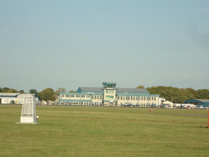
CAE Oxford
CAE Oxford, part of CAE Inc., is an ab initio flight training network. It provides integrated aviation training and resourcing services. Professional airline...
Nearby Amenities
Located within 500m of 51.815235,-1.3256169Have you been to Begbroke Wood?
Leave your review of Begbroke Wood below (or comments, questions and feedback).