Butlocks Heath
Wood, Forest in Hampshire Eastleigh
England
Butlocks Heath
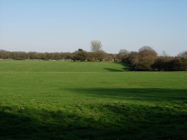
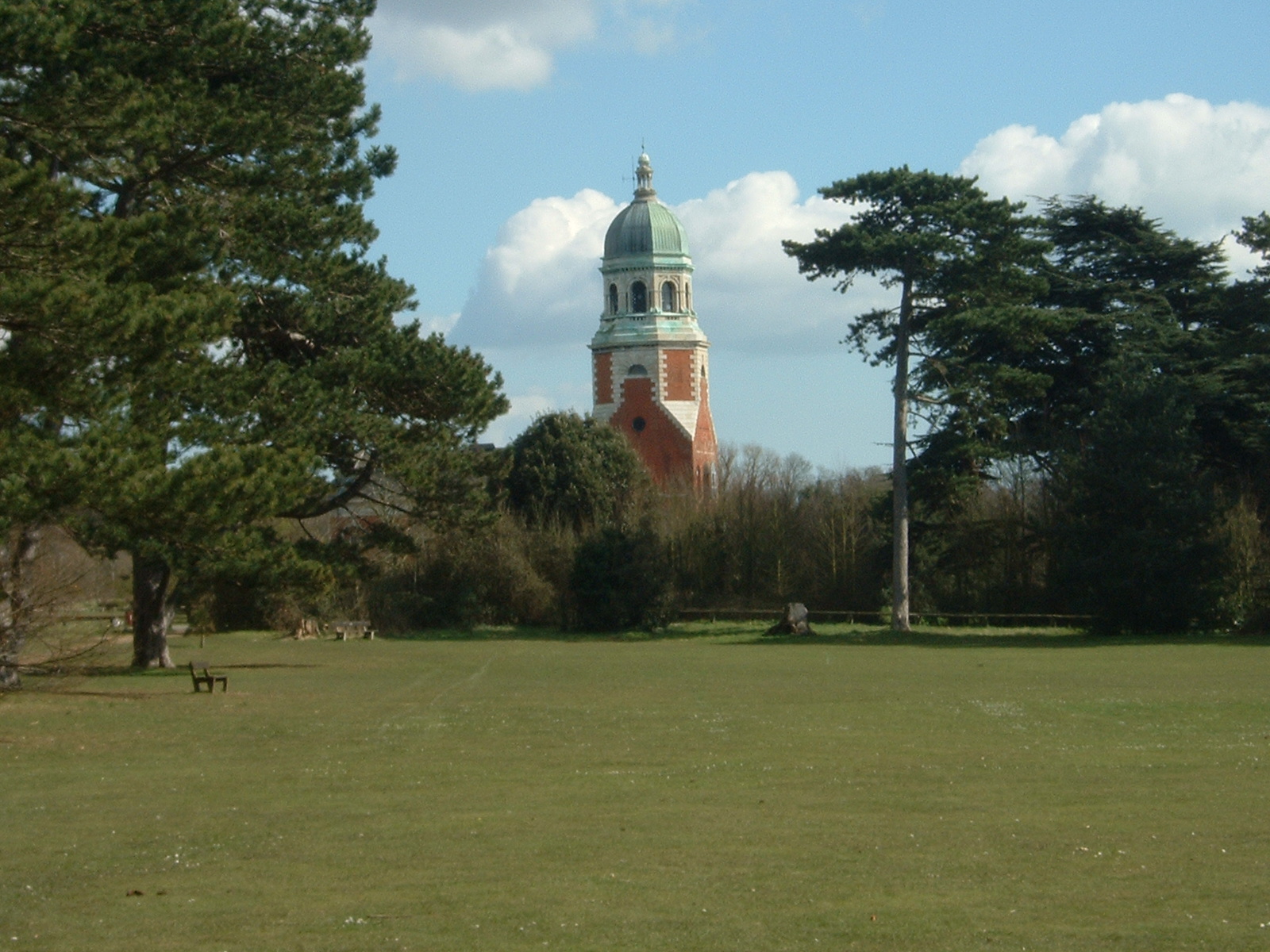
Butlocks Heath is a small village located in Hampshire, England. Situated within the New Forest National Park, it is surrounded by picturesque woodlands and forests, making it an ideal destination for nature enthusiasts and outdoor lovers. The village is nestled between the larger towns of Southampton and Totton, providing easy access to urban amenities while maintaining a tranquil and rural atmosphere.
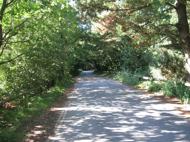
The woodlands in Butlocks Heath are rich in biodiversity, with a variety of tree species including oak, beech, and pine. This creates a beautiful and diverse landscape, attracting wildlife such as deer, foxes, and a wide range of bird species. The forested areas also offer numerous walking and cycling trails, allowing visitors to explore the natural beauty of the New Forest.
In addition to its natural attractions, Butlocks Heath boasts a small but vibrant community. The village is home to a few local businesses, including a village shop and a pub, providing essential services and a place for residents to socialize. The village also has a primary school, ensuring that families have access to educational facilities within the local area.
Overall, Butlocks Heath offers a peaceful and idyllic setting, surrounded by woodlands and forests that provide ample opportunities for outdoor activities and wildlife spotting. Whether it's taking a leisurely stroll through the woods or simply enjoying the tranquility of rural life, Butlocks Heath is a charming destination for those seeking a connection with nature and a slower pace of life.
If you have any feedback on the listing, please let us know in the comments section below.
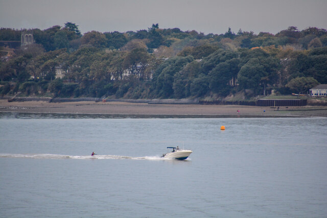
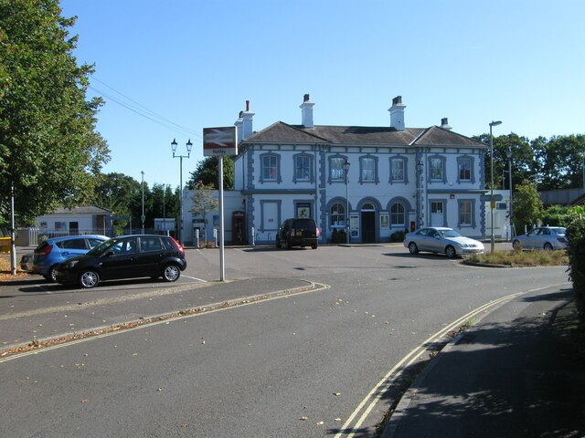
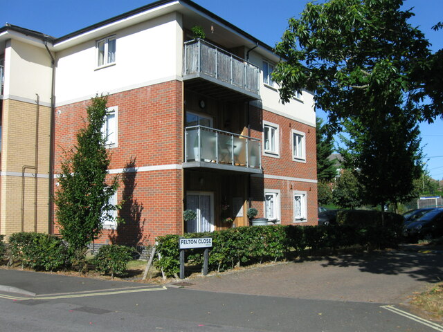
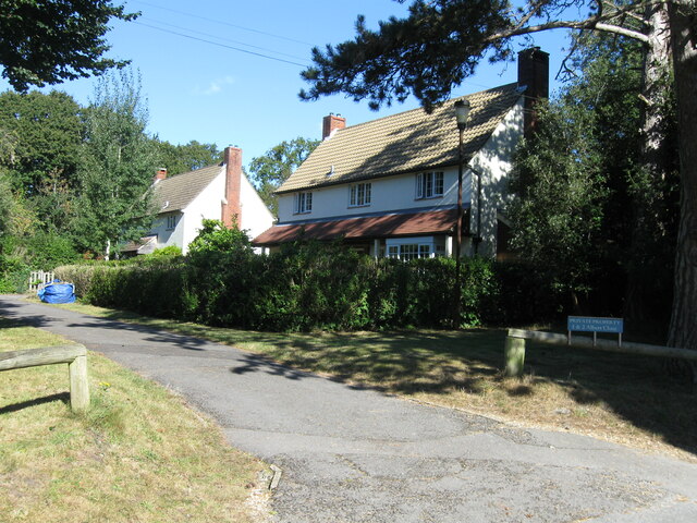
Butlocks Heath Images
Images are sourced within 2km of 50.875136/-1.3392845 or Grid Reference SU4608. Thanks to Geograph Open Source API. All images are credited.


Butlocks Heath is located at Grid Ref: SU4608 (Lat: 50.875136, Lng: -1.3392845)
Administrative County: Hampshire
District: Eastleigh
Police Authority: Hampshire
What 3 Words
///final.voting.perky. Near Netley, Hampshire
Nearby Locations
Related Wikis
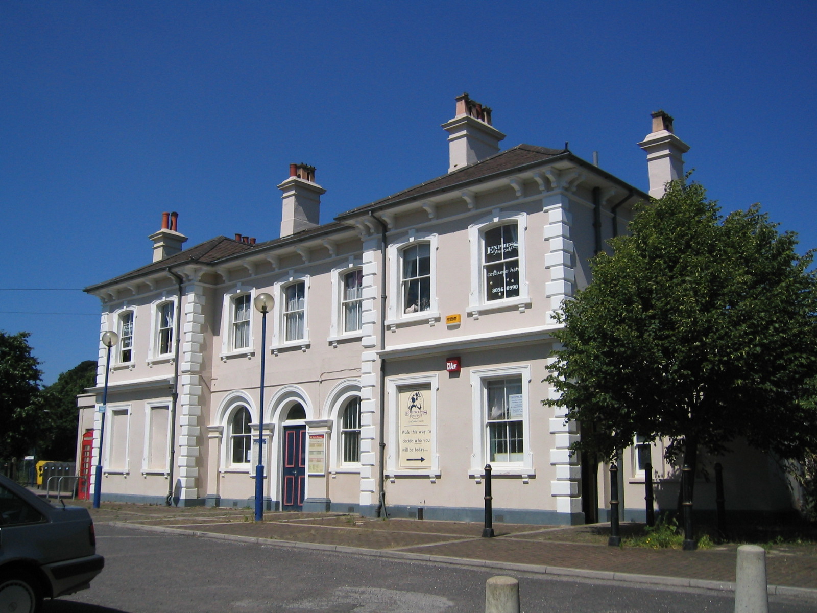
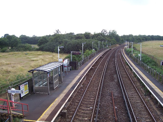
Netley railway station
Netley railway station is located near the village of Netley in Hampshire, England. The station is run by South Western Railway and is on the West Coastway...
Butlocks Heath
Butlocks Heath is a village in the district of Eastleigh in Hampshire, England. The village lies approximately 3.4 miles (5.4 km) south-east from Southampton...
Royal Victoria Country Park
The Royal Victoria Country Park is a country park in Netley, Hampshire, England, by the shores of Southampton Water. It comprises 200 acres (81 ha) of...
Hamble railway station
Hamble railway station is an unstaffed station near the village of Hamble-le-Rice, England. It is served by a 2-track electrified line which joins the...

Royal Victoria Railway
The Royal Victoria Railway runs for around 0.6 miles (0.97 km) through Royal Victoria Country Park in Netley, Hampshire, England, with views of Southampton...

Hamble School
The Hamble School is a secondary school in Hamble-le-Rice, offering education to children between 11-16. == Ofsted == The school was inspected by Ofsted...
Hound, Hampshire
Hound is a village and civil parish in the borough of Eastleigh in southern Hampshire, England. The parish encompasses the villages of Netley, Butlocks...

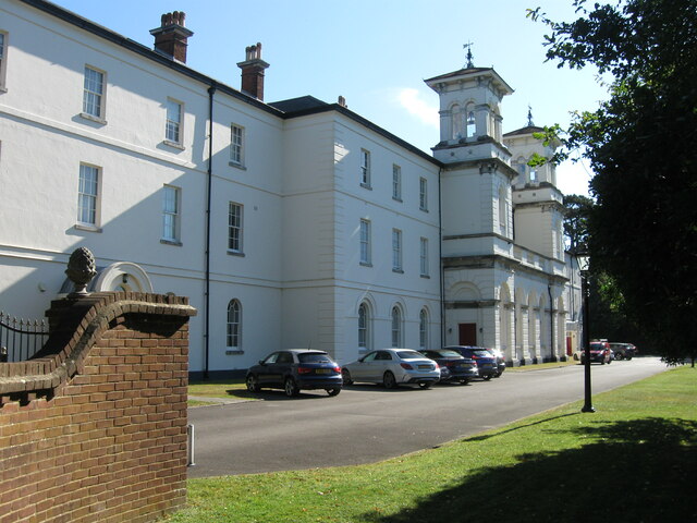
Netley Hospital
The Royal Victoria Hospital or Netley Hospital was a large military hospital in Netley, near Southampton, Hampshire, England. Construction started in 1856...
Nearby Amenities
Located within 500m of 50.875136,-1.3392845Have you been to Butlocks Heath?
Leave your review of Butlocks Heath below (or comments, questions and feedback).