Abbot's Heath
Wood, Forest in Berkshire Vale of White Horse
England
Abbot's Heath
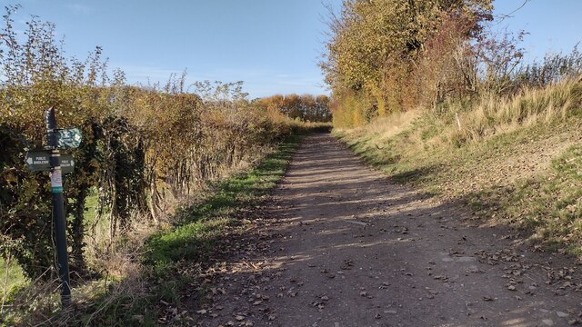
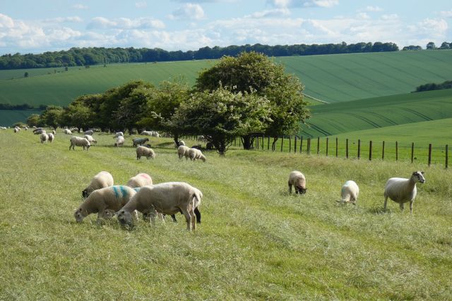
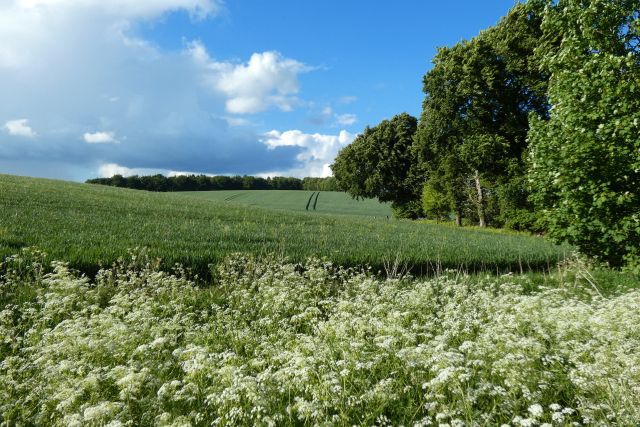
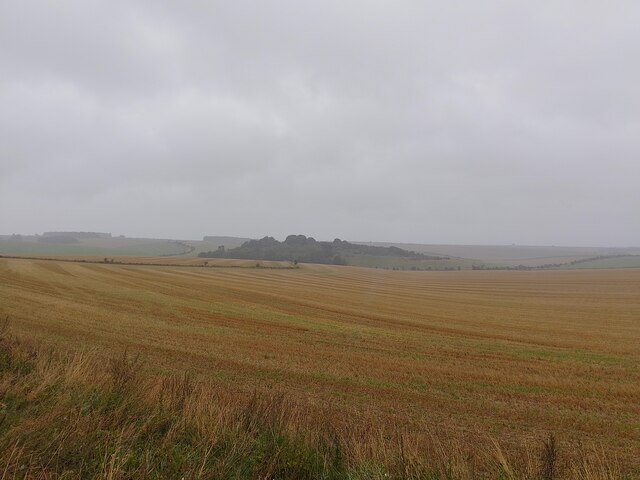
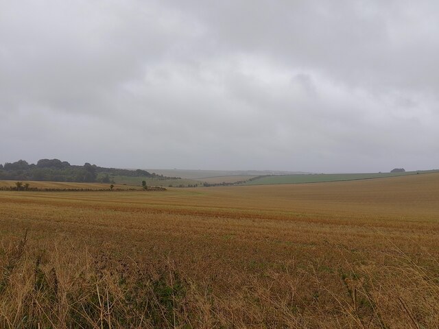
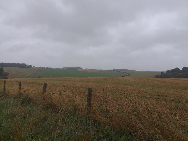
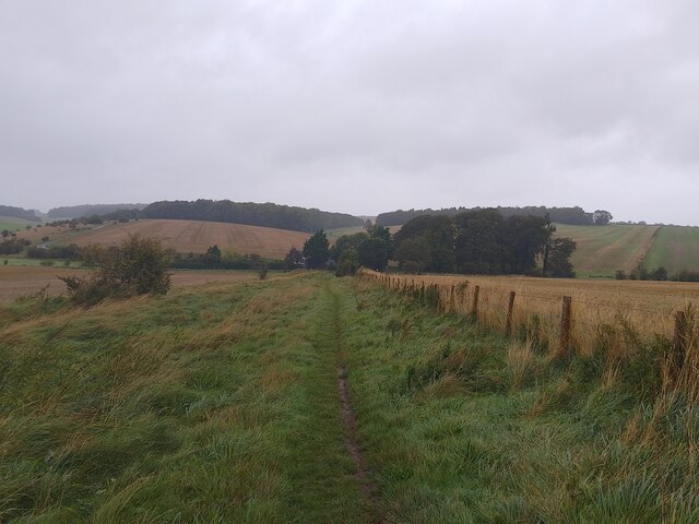
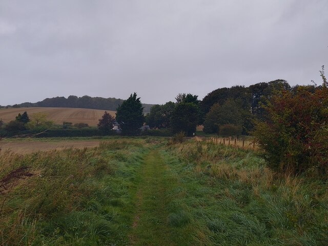
Abbot's Heath is a picturesque woodland area located in Berkshire, England. Situated within the larger forested region of Berkshire, it covers an area of approximately 100 acres. The woodland is renowned for its natural beauty, featuring a diverse range of plant and animal species.
The forest is primarily composed of deciduous trees, including oak, beech, and birch, which create a vibrant canopy during the summer months. These trees provide ample shade and shelter for the abundant wildlife that calls Abbot's Heath home. Bird enthusiasts will be delighted to spot a variety of species, including woodpeckers, owls, and songbirds.
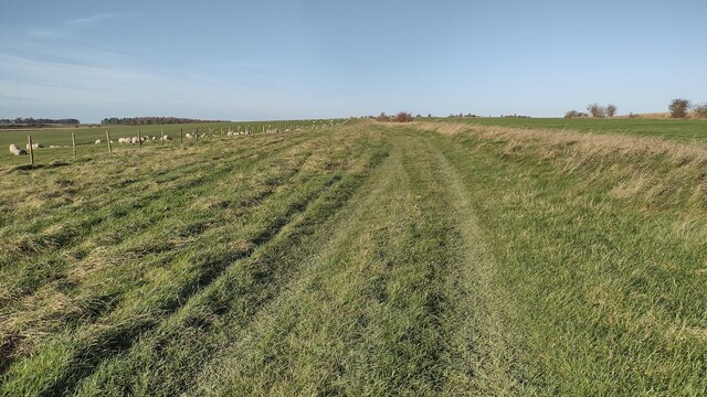
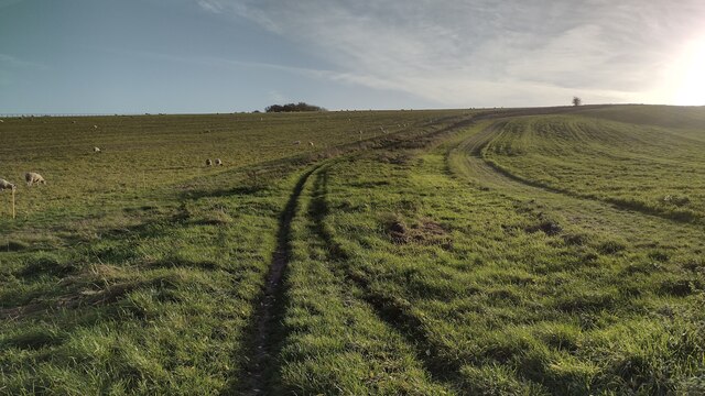
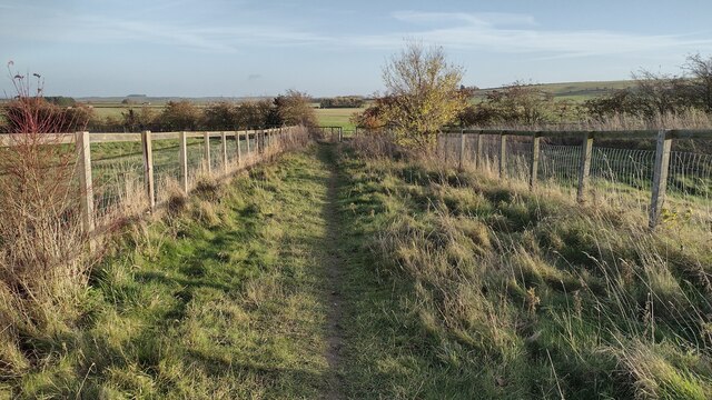
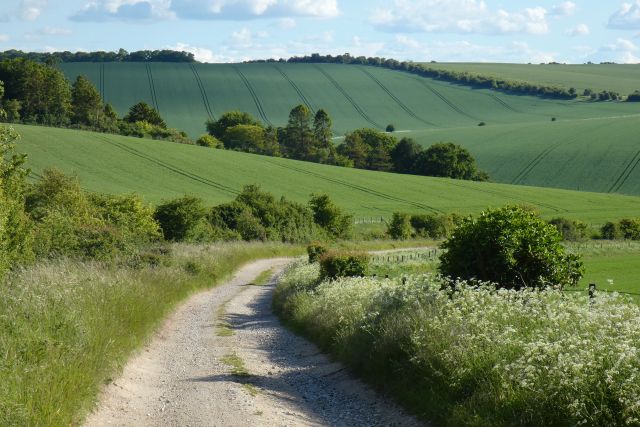
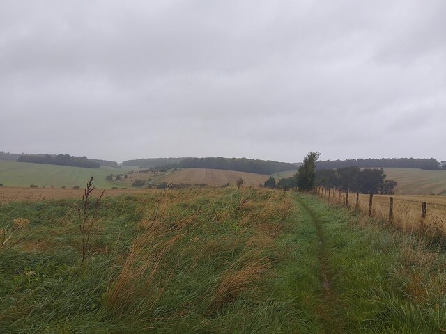
Walking trails wind through the woodland, offering visitors the opportunity to explore the serene surroundings. These paths are well-maintained and suitable for both leisurely strolls and more challenging hikes. Along the way, visitors can expect to encounter quaint streams, rustic bridges, and enchanting clearings.
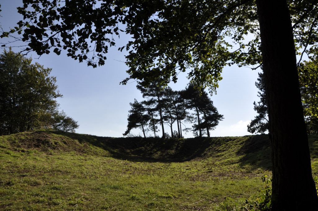
Abbot's Heath is also notable for its rich history. A small ruined abbey, dating back to the 12th century, is nestled within the forest. This historical site adds a sense of intrigue and provides a glimpse into the area's past.
The woodland is a popular destination for nature lovers, photographers, and those seeking a peaceful retreat from the bustle of urban life. Its tranquil atmosphere and stunning scenery make it an ideal location for picnics, birdwatching, and simply reconnecting with nature.
Overall, Abbot's Heath in Berkshire is a captivating woodland area that showcases the beauty of the natural world. Its diverse flora and fauna, scenic trails, and historical ruins make it a must-visit destination for anyone seeking a tranquil and immersive outdoor experience.
If you have any feedback on the listing, please let us know in the comments section below.
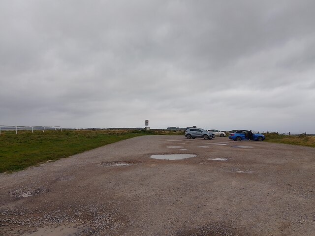
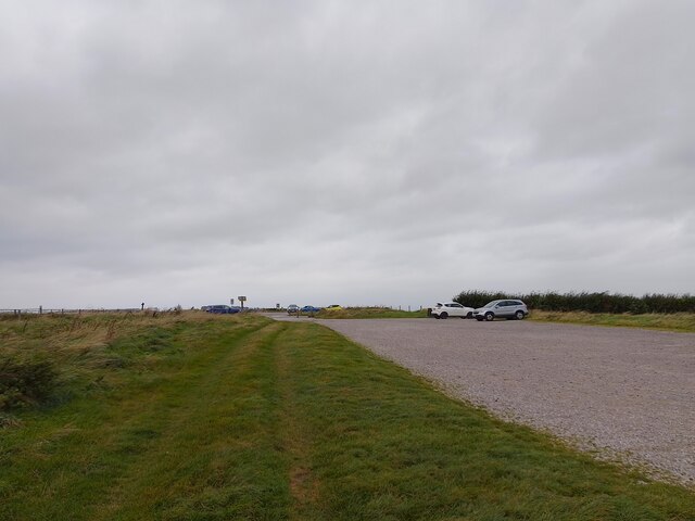
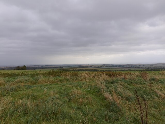
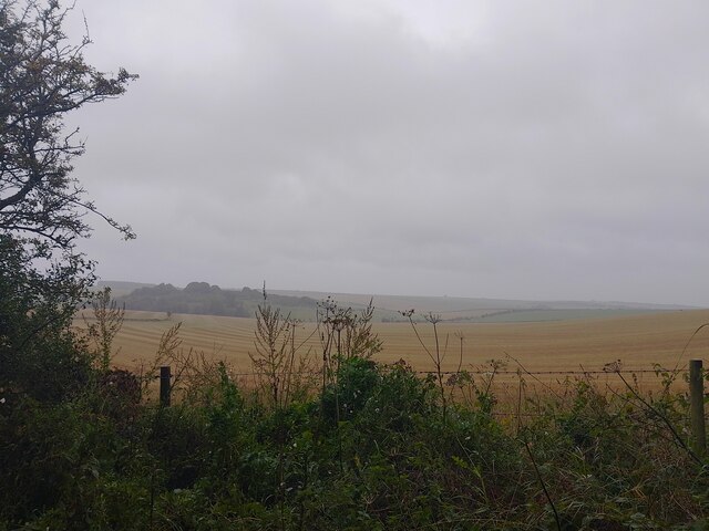
Abbot's Heath Images
Images are sourced within 2km of 51.556625/-1.3363994 or Grid Reference SU4684. Thanks to Geograph Open Source API. All images are credited.
Abbot's Heath is located at Grid Ref: SU4684 (Lat: 51.556625, Lng: -1.3363994)
Administrative County: Oxfordshire
District: Vale of White Horse
Police Authority: Thames Valley
What 3 Words
///frightens.instincts.strictly. Near West Ilsley, Berkshire
Nearby Locations
Related Wikis
Scutchamer Knob
Scutchamer Knob, also known as Cuckhamsley Hill and occasionally as Scotsman's Knob or Beacon Hill, is an early Iron Age round barrow on the Ridgeway National...

The Ridgeway
The Ridgeway is a ridgeway or ancient trackway described as Britain's oldest road. The section clearly identified as an ancient trackway extends from Wiltshire...

DIDO (nuclear reactor)
DIDO was a materials testing nuclear reactor at the Atomic Energy Research Establishment at Harwell, Oxfordshire in the United Kingdom. It used enriched...
PLUTO reactor
PLUTO was a materials testing nuclear reactor housed at the Atomic Energy Research Establishment, a former Royal Air Force airfield at Harwell, Oxfordshire...
KARMEN
KARMEN (KArlsruhe Rutherford Medium Energy Neutrino experiment), a detector associated with the ISIS synchrotron at the Rutherford Appleton Laboratory...
ENGIN-X
ENGIN-X is the dedicated materials engineering beamline at the ISIS Neutron and Muon Source in the UK. The beamline uses neutron diffraction to determine...

ISIS Neutron and Muon Source
The ISIS Neutron and Muon Source is a pulsed neutron and muon source, established 1984 at the Rutherford Appleton Laboratory of the Science and Technology...
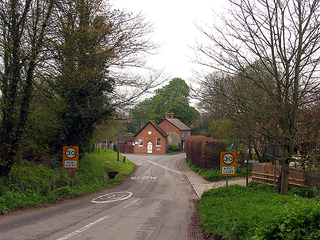
West Ilsley
West Ilsley is a village and civil parish in Berkshire, England. The population of the village at the 2011 Census was 332. == Location and amenities... ==
Nearby Amenities
Located within 500m of 51.556625,-1.3363994Have you been to Abbot's Heath?
Leave your review of Abbot's Heath below (or comments, questions and feedback).