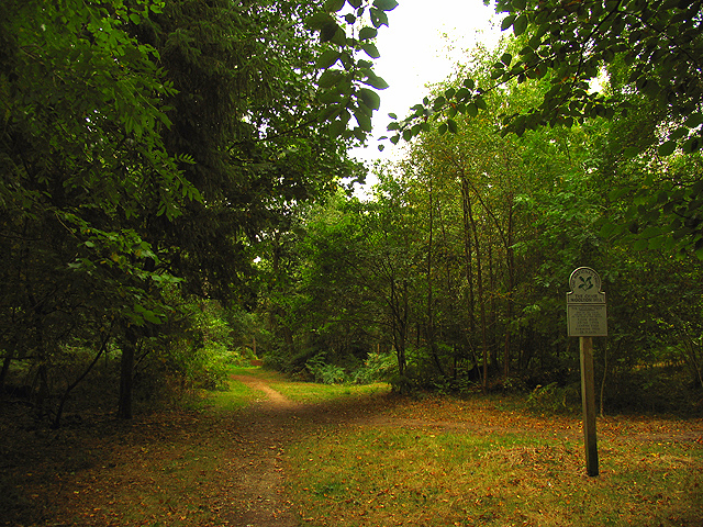
Great Pen Wood

Wood, Forest in Hampshire Basingstoke and Deane

England

Great Pen Wood

Lairage: Burghclere I am told this is where horses are sometimes held while waiting to be transported. This is situated at the interchange of the A34 and the B4640 from Newtown. The picture was taken looking north and east.
Lairage: Burghclere Credit: Pam Brophy

The requested URL returned error: 429 Too Many Requests

If you have any feedback on the listing, please let us know in the comments section below.

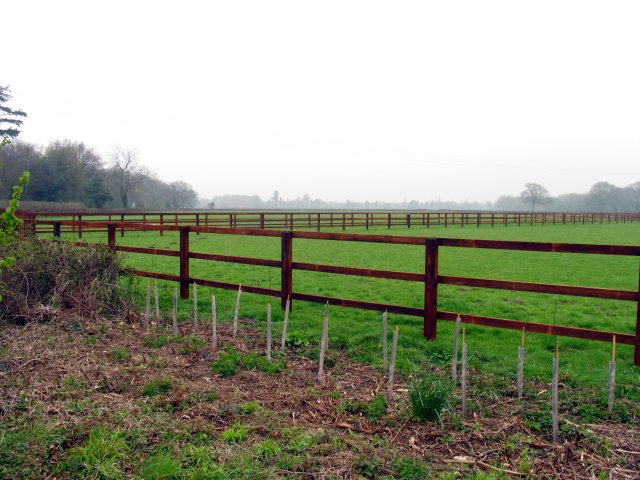
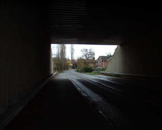
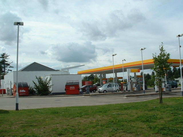
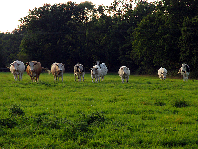
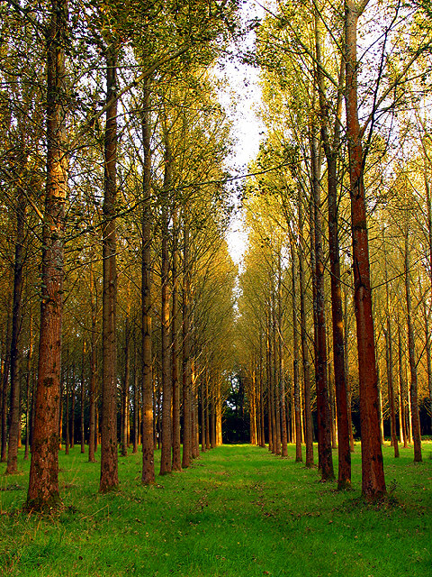
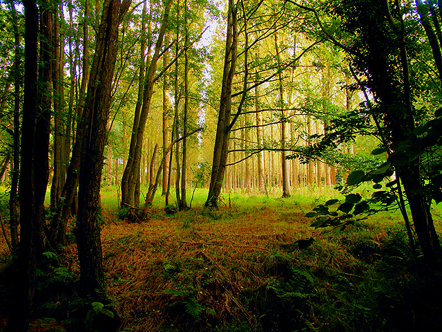
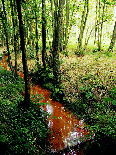
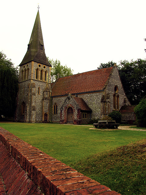
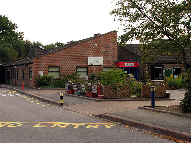
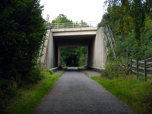
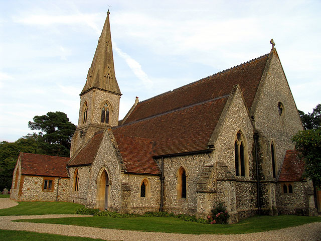
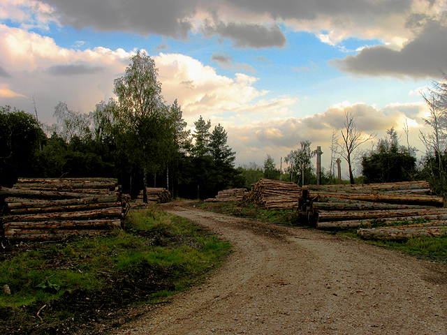
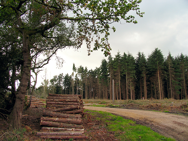
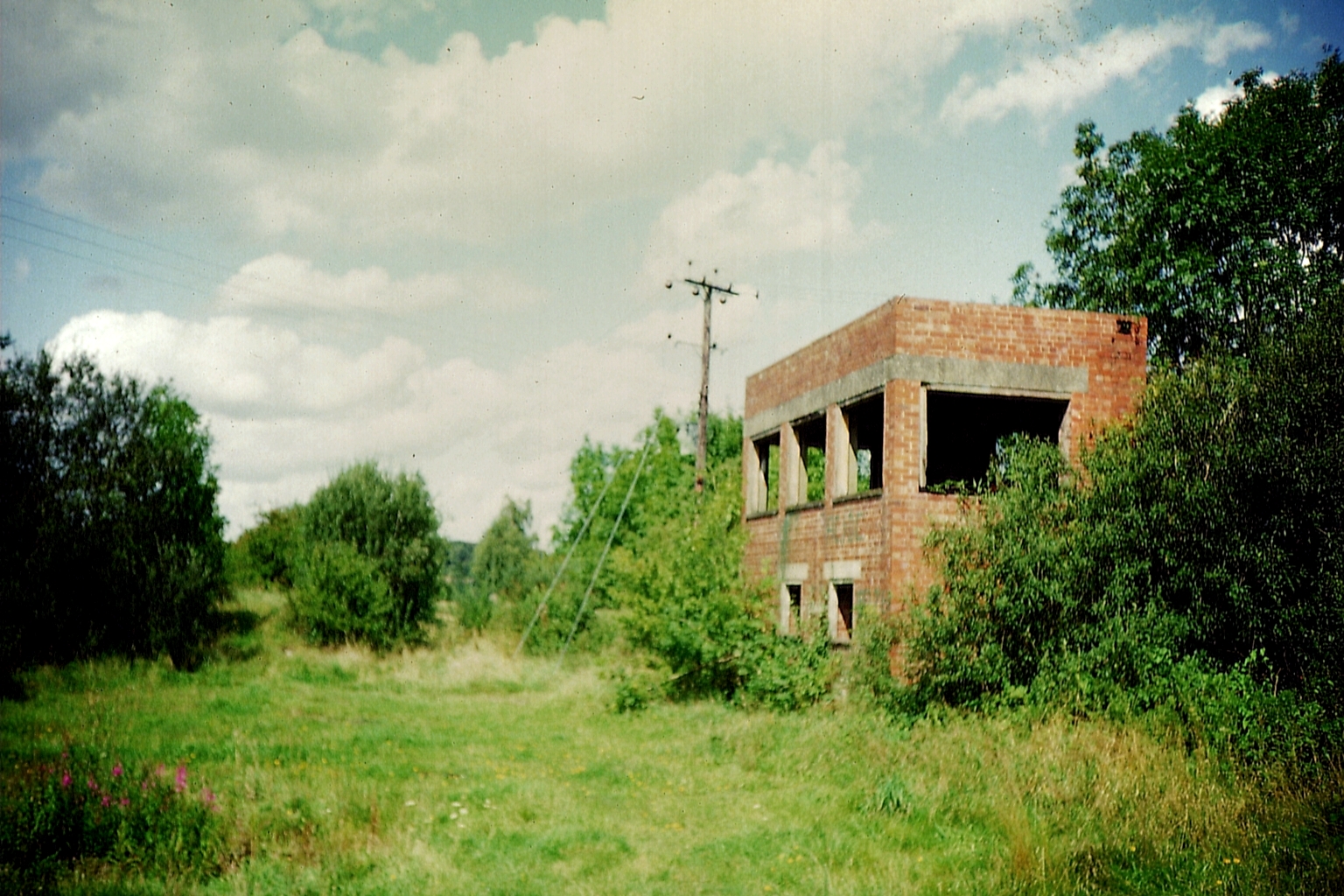
Great Pen Wood Images

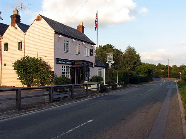
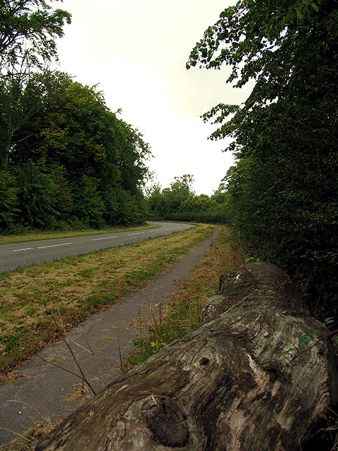
Images are sourced within 2km of 51.356436/-1.3592139 or Grid Reference SU4462. Thanks to Geograph Open Source API. All images are credited.

Lairage: Burghclere I am told this is where horses are sometimes held while waiting to be transported. This is situated at the interchange of the A34 and the B4640 from Newtown. The picture was taken looking north and east.
Lairage: Burghclere
I am told this is where horses are sometimes held while waiting to be transported. This is situated at the interchange of the A34 and the B4640 from Newtown. The picture was taken looking north and east.
A34 Newbury bypass over Wash Water road A34 Newbury bypass over Wash Water road
A34 Newbury bypass over Wash Water road
Tot Hill Services Looking NW
Tot Hill Services
Looking NW
Pasture near Wash Water This pasture is on the north side of the minor road in the southern half of the square. Most of the square is farmland.
Pasture near Wash Water
This pasture is on the north side of the minor road in the southern half of the square. Most of the square is farmland.
Wash Water Road near Enborne This is a view of the end of Wash Water road and the public house marked ph on the 1:50 000 map. The pub is on the north side of the road. The road joins the A343 to the right (east) of the pub and leads off the A343 to Enborne. This square contains some of the residential area of Wash Common and the key roads linking Enborne and Wash Water.
Wash Water Road near Enborne
This is a view of the end of Wash Water road and the public house marked ph on the 1:50 000 map. The pub is on the north side of the road. The road joins the A343 to the right (east) of the pub and leads off the A343 to Enborne. This square contains some of the residential area of Wash Common and the key roads linking Enborne and Wash Water.
Clere Wood near Highclere This square is a mixture of plantation and residential area. This section of plantation is the northern edge of Clere Wood in the southern half of the square.
Clere Wood near Highclere
This square is a mixture of plantation and residential area. This section of plantation is the northern edge of Clere Wood in the southern half of the square.
Clere Wood near Highclere This photograph was taken from the road looking more or less southeast.
Clere Wood near Highclere
This photograph was taken from the road looking more or less southeast.
Stream in Clere Wood This red stream with crystal clear water, is so coloured by what is probably a mat of bacteria and rust on the bed.
Stream in Clere Wood
This red stream with crystal clear water, is so coloured by what is probably a mat of bacteria and rust on the bed.
Highclere Church This square is mostly woodland, but this village church is on the western edge of the square, east of the entrance to Highclere castle estate and grounds.
Highclere Church
This square is mostly woodland, but this village church is on the western edge of the square, east of the entrance to Highclere castle estate and grounds.
Woolton Hill County Junior School This school is near the intersection of the two minor roads, more or less in the centre of the square. The square both residential and agricultural. It contains the village of Woolton Hill.
Woolton Hill County Junior School
This school is near the intersection of the two minor roads, more or less in the centre of the square. The square both residential and agricultural. It contains the village of Woolton Hill.
A34(T) Bridge near Newtown This square is largely farmland and plantations belonging to the English Forestry commission. This bridge carries the A34(T) over one of the lanes passing through the forested area.
A34(T) Bridge near Newtown
This square is largely farmland and plantations belonging to the English Forestry commission. This bridge carries the A34(T) over one of the lanes passing through the forested area.
Woolton Hill Church This square is mostly farmland, with some residential areas linked to Woolton Hill village in the north eastern section of the square.
Woolton Hill Church
This square is mostly farmland, with some residential areas linked to Woolton Hill village in the north eastern section of the square.
Residential Area not far from Enborne This square is mostly residential area.
Residential Area not far from Enborne
This square is mostly residential area.
Country Road near Enborne This square is mostly residential and this road links Woolton Hill with Enborne via residential area.
Country Road near Enborne
This square is mostly residential and this road links Woolton Hill with Enborne via residential area.
The Chase: National Trust The Chase is managed by the National Trust and is in the southern half of the square.
The Chase: National Trust
The Chase is managed by the National Trust and is in the southern half of the square.
Road to Penwood This square is mostly woodland and land belonging to Highclere Castle which is privately own and occupied. This view looks northish along the road, in the north eastern section of the square.
Road to Penwood
This square is mostly woodland and land belonging to Highclere Castle which is privately own and occupied. This view looks northish along the road, in the north eastern section of the square.
Brown Hill Plantation near Newtown This square is mostly plantation and woodland managed by the English Forestry Commission. This view is near the centre of the square and was taken in the late afternoon/early evening.
Brown Hill Plantation near Newtown
This square is mostly plantation and woodland managed by the English Forestry Commission. This view is near the centre of the square and was taken in the late afternoon/early evening.
Brown Hill Plantation Logging time in the plantation managed by the English Forestry Commission.
Brown Hill Plantation
Logging time in the plantation managed by the English Forestry Commission.
Show me another place!

Great Pen Wood is located at Grid Ref: SU4462 (Lat: 51.356436, Lng: -1.3592139)

Administrative County: Hampshire

District: Basingstoke and Deane

Police Authority: Hampshire

What 3 Words

///simulations.tables.roadblock. Near Highclere, Hampshire

Related Wikis

Penwood

Penwood is a village in the civil parish of Highclere in the Basingstoke and Deane district of Hampshire, England. Its nearest town is Newbury, which lies...

Woodhay railway station

Woodhay railway station was a station on the Didcot, Newbury and Southampton Railway in England. It was located about five miles south of the junction...

Wash Water

Wash Water is a hamlet on the border of Berkshire, and Hampshire. It is divided between the civil parishes of Enborne (where according to Grid Refs the...

Enborne Row

Enborne Row is a hamlet in Berkshire, England, located on the county's border with Hampshire. The hamlet is within the civil parish of Enborne. The settlement...

Nearby Amenities

Located within 500m of 51.356436,-1.3592139
Ford: yes
Lat/Long: 51.3562429/-1.3562095
Barrier: kissing_gate
Lat/Long: 51.360386/-1.3616209
The data included in this document is from www.openstreetmap.org. The data is made available under ODbL.

Have you been to Great Pen Wood?

Leave your review of Great Pen Wood below (or comments, questions and feedback).