Toomer's Plantation
Wood, Forest in Berkshire
England
Toomer's Plantation
The requested URL returned error: 429 Too Many Requests
If you have any feedback on the listing, please let us know in the comments section below.
Toomer's Plantation Images
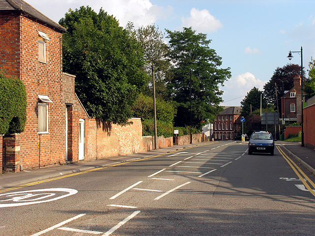
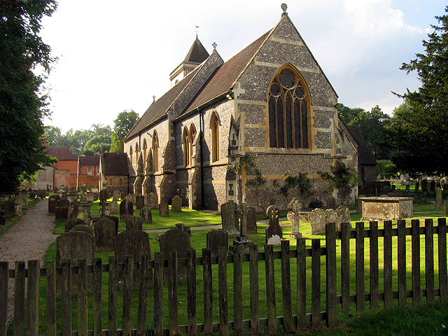
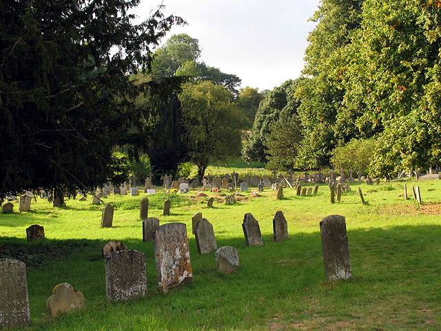
Images are sourced within 2km of 51.399737/-1.3586955 or Grid Reference SU4466. Thanks to Geograph Open Source API. All images are credited.


Toomer's Plantation is located at Grid Ref: SU4466 (Lat: 51.399737, Lng: -1.3586955)
Unitary Authority: West Berkshire
Police Authority: Thames Valley
What 3 Words
///sung.snacks.invite. Near Newbury, Berkshire
Nearby Locations
Related Wikis
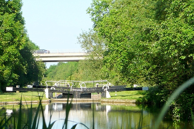
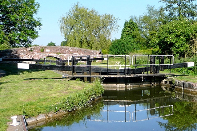
Higg's Lock
Higg's Lock is a lock on the Kennet and Avon Canal, between Kintbury and Newbury, Berkshire, England. The lock has a rise/fall of 5 ft 10 in (1.78 m)...
Guyer's Lock
Guyer's Lock is a lock on the Kennet and Avon Canal, between Kintbury and Newbury, Berkshire, England. It is a grade II listed building. == References... ==
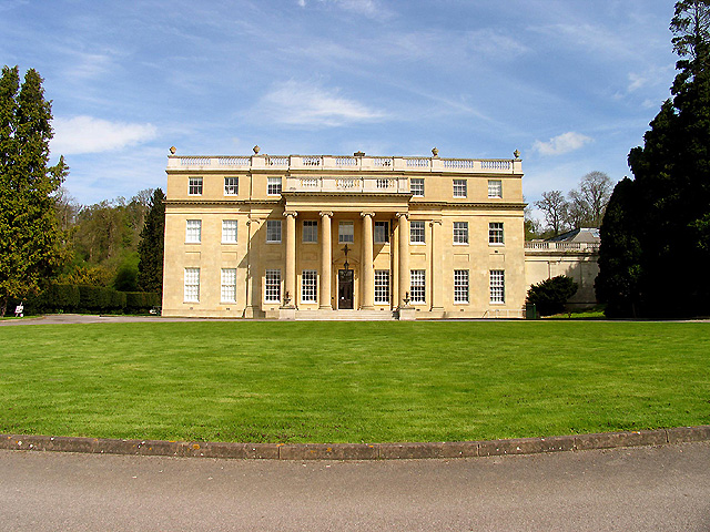
Benham Park
Benham Park is a mansion (on the site of Benham Valence Manor) in the English ceremonial county of Berkshire and district of West Berkshire. It is 2 miles...
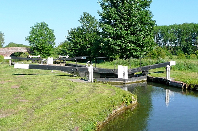
Benham Lock
Benham Lock, formerly known as Benham Bridge Lock is a lock on the Kennet and Avon Canal, between Kintbury and Newbury. It is located below Marsh Benham...
Nearby Amenities
Located within 500m of 51.399737,-1.3586955Have you been to Toomer's Plantation?
Leave your review of Toomer's Plantation below (or comments, questions and feedback).