Ash Bank

Settlement in Staffordshire Staffordshire Moorlands

England

Ash Bank

Stoniers bus in Bentilee estate – 1979 Bentilee estate was a large post-WW2 council estate built primarily for the local mining community. Surprisingly, the main service into the estate was not provided exclusively by the main large operator in the area, Potteries Motor Traction, but shared with the family firm of Stoniers, based at Goldenhill to the north of the Five Towns. Like many small operators, most of the fleet consisted of second-hand vehicles, this example having originated with Nottingham City Transport in 1965. It is a Daimler Fleetline with Northern Counties bodywork to a Nottingham-specific design.

This is one of a series of views featuring buses in the 60s, 70s, and 80s. <a title="https://www.geograph.org.uk/search.php?i=137652761" href="https://www.geograph.org.uk/search.php?i=137652761">Link</a>
Stoniers bus in Bentilee estate – 1979 Credit: Alan Murray-Rust

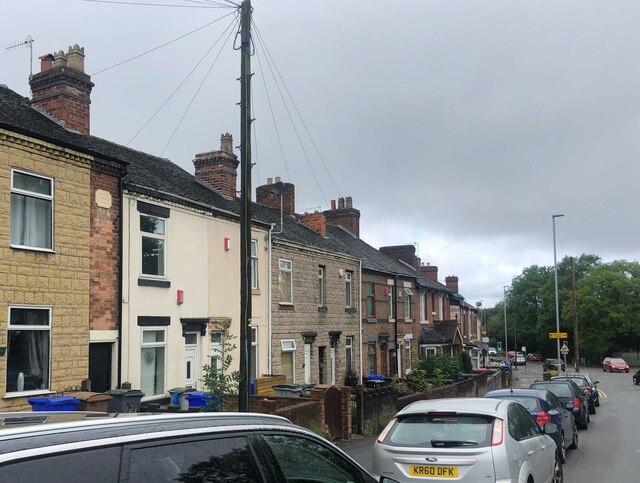
Ash Bank is a small village located in the county of Staffordshire, England. Situated approximately 3 miles northwest of the town of Stoke-on-Trent, Ash Bank is part of the Staffordshire Moorlands district. The village is nestled on the southern slopes of the Trent Valley, offering picturesque views of the surrounding countryside.

Ash Bank is predominantly a residential area, featuring a mix of detached houses, semi-detached properties, and bungalows. The village maintains a tranquil atmosphere, making it an ideal place for families and those seeking a peaceful lifestyle. The community is tight-knit, with a friendly and welcoming atmosphere.

While Ash Bank itself does not have many amenities, residents benefit from its proximity to neighboring towns and villages. Stoke-on-Trent provides a wide range of services, including shopping centers, schools, healthcare facilities, and recreational activities. Additionally, the village is well-connected by road, with easy access to the A500 and A50, making commuting and traveling convenient.

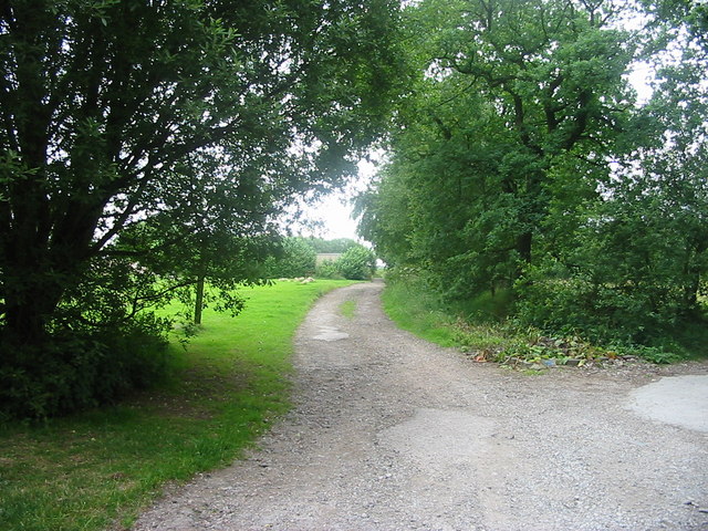
Nature enthusiasts will appreciate Ash Bank's proximity to the Staffordshire countryside, offering opportunities for outdoor activities such as walking, cycling, and birdwatching. The village also benefits from its location near the Peak District National Park, renowned for its stunning landscapes and outdoor pursuits.

In summary, Ash Bank offers a peaceful and close-knit community within easy reach of larger towns and beautiful natural surroundings.

If you have any feedback on the listing, please let us know in the comments section below.
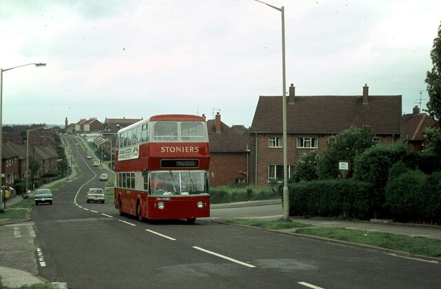
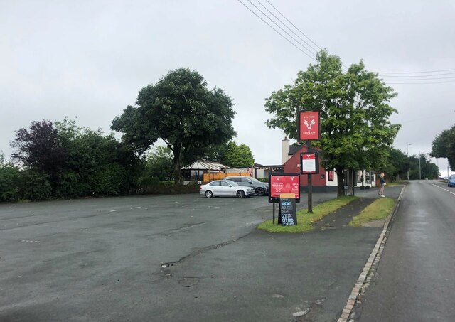
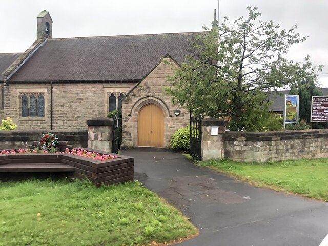
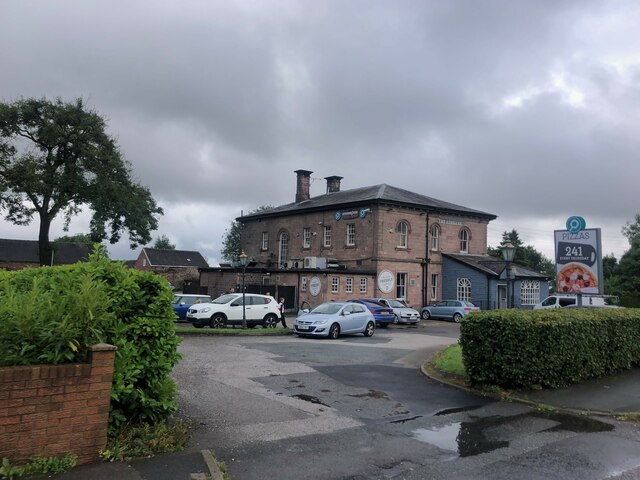
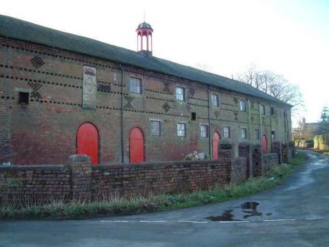
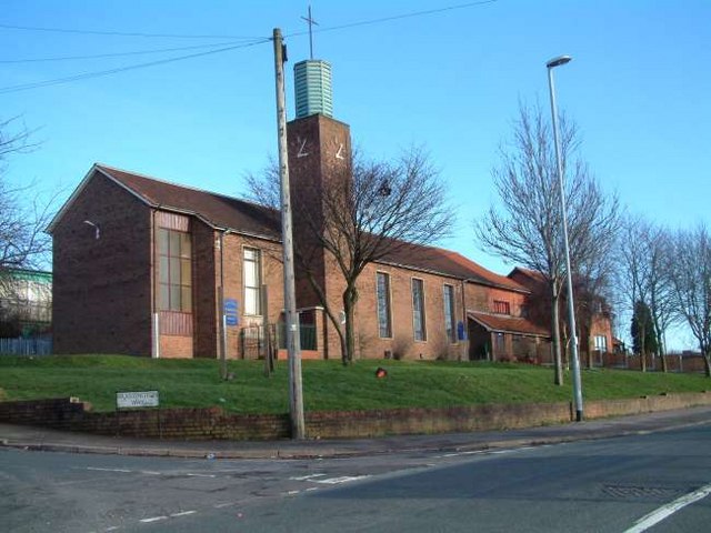
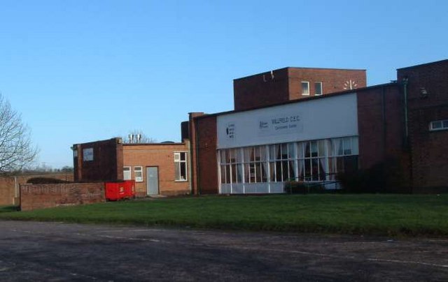
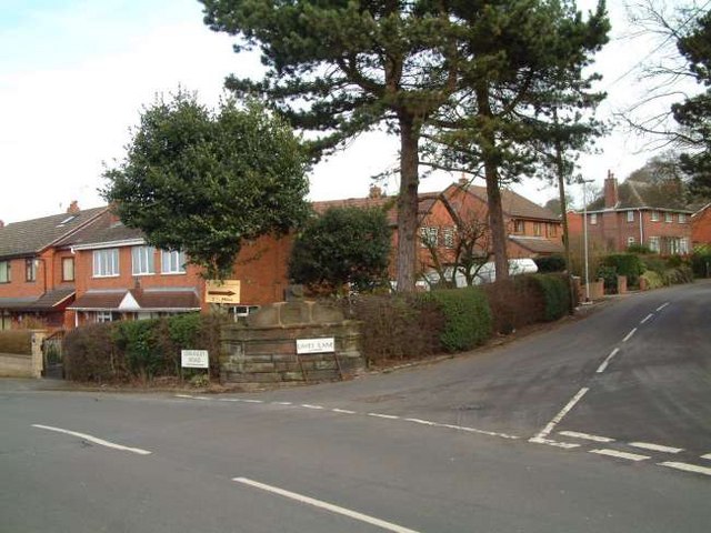
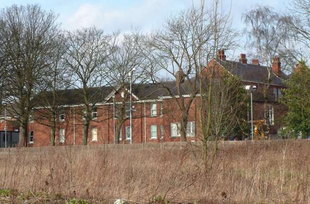
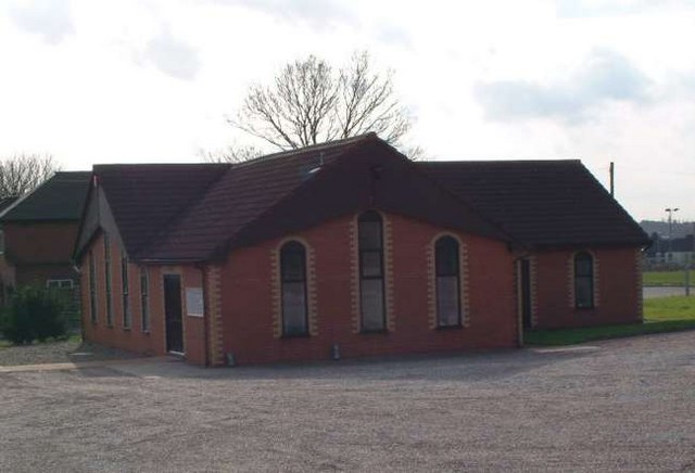
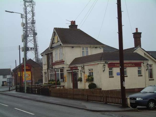
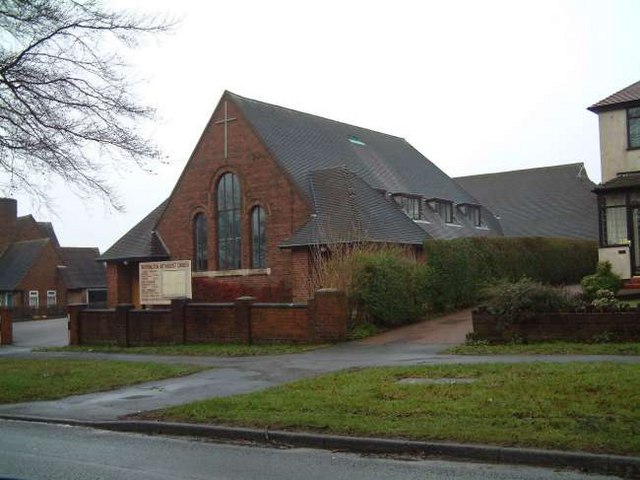
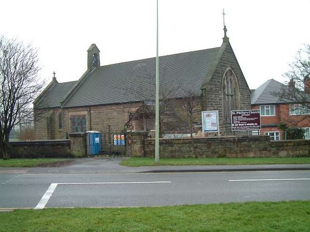
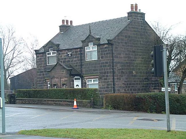
Ash Bank Images

Images are sourced within 2km of 53.020461/-2.110553 or Grid Reference SJ9247. Thanks to Geograph Open Source API. All images are credited.

Stoniers bus in Bentilee estate – 1979 Bentilee estate was a large post-WW2 council estate built primarily for the local mining community. Surprisingly, the main service into the estate was not provided exclusively by the main large operator in the area, Potteries Motor Traction, but shared with the family firm of Stoniers, based at Goldenhill to the north of the Five Towns. Like many small operators, most of the fleet consisted of second-hand vehicles, this example having originated with Nottingham City Transport in 1965. It is a Daimler Fleetline with Northern Counties bodywork to a Nottingham-specific design.

This is one of a series of views featuring buses in the 60s, 70s, and 80s. <a title="https://www.geograph.org.uk/search.php?i=137652761" href="https://www.geograph.org.uk/search.php?i=137652761">Link</a>
Stoniers bus in Bentilee estate – 1979
Bentilee estate was a large post-WW2 council estate built primarily for the local mining community. Surprisingly, the main service into the estate was not provided exclusively by the main large operator in the area, Potteries Motor Traction, but shared with the family firm of Stoniers, based at Goldenhill to the north of the Five Towns. Like many small operators, most of the fleet consisted of second-hand vehicles, this example having originated with Nottingham City Transport in 1965. It is a Daimler Fleetline with Northern Counties bodywork to a Nottingham-specific design. This is one of a series of views featuring buses in the 60s, 70s, and 80s. Link
Car park for the Red Cow public house On the A52, Ash Bank Road
Car park for the Red Cow public house
On the A52, Ash Bank Road
St Philip's Church, Werrington
The Ashbank Pizza and carvery at Werrington
The Ashbank
Pizza and carvery at Werrington
Ash Road Terrace on Werrington Road
Wetley Moor Trigpoint on the edge of a substantial heather moorland remnant.  Near Stoke on Trent, the  Pennine grits are making their presence felt with characteristic low fertility.
Wetley Moor
Trigpoint on the edge of a substantial heather moorland remnant. Near Stoke on Trent, the Pennine grits are making their presence felt with characteristic low fertility.
Wetley Moor Entrance One of the many access points to Wetley Moor off Brookhouse Lane. The moor is common land and is an area of Special Scientific Interest.
Wetley Moor Entrance
One of the many access points to Wetley Moor off Brookhouse Lane. The moor is common land and is an area of Special Scientific Interest.
Ash Hall Job Meigh (a local potter) became the owner of the Ash Estate on 27th of March 1837. Construction of the house must have begun almost immediately because the date “1837” appears on the rainwater heads on the front of the building.

1840 account of the hall: "The exterior is of hard stone, (gotten on the estate,) of an Ash colour, giving the building an air of antiquity which harmonizes with the stile (sic.) of the architecture, being that of the manor house or Tudor era, with oriel windows, surmounted with pediments or pointed gables. An elegant portico, composed of three Gothic arches, turreted and embattled, adorns the front. The adjoining lawn is tastefully laid out and planted; and altogether, we must characterize Ash Hall as one of the most beautiful seats we have had occasion to notice.”
Ash Hall
Job Meigh (a local potter) became the owner of the Ash Estate on 27th of March 1837. Construction of the house must have begun almost immediately because the date “1837” appears on the rainwater heads on the front of the building. 1840 account of the hall: "The exterior is of hard stone, (gotten on the estate,) of an Ash colour, giving the building an air of antiquity which harmonizes with the stile (sic.) of the architecture, being that of the manor house or Tudor era, with oriel windows, surmounted with pediments or pointed gables. An elegant portico, composed of three Gothic arches, turreted and embattled, adorns the front. The adjoining lawn is tastefully laid out and planted; and altogether, we must characterize Ash Hall as one of the most beautiful seats we have had occasion to notice.”
Stonehouse Farm, Hulme
St. Stephens Church, Bentilee Bentilee is situated approximately 2 miles east of Stoke-upon-Trent city centre. 
The church is in Dawlish Drive just off the A5272 (B5040)
St. Stephens Church, Bentilee
Bentilee is situated approximately 2 miles east of Stoke-upon-Trent city centre. The church is in Dawlish Drive just off the A5272 (B5040)
Willfield Conference Centre Was part of Willfield School - Lauder Place North, Off Beverley Drive Bentilee.

Now houses: Willfield Neighbourhood College; Willfield Conference Centre; Willfield Youth Club; Bentilee Volunteers Office.
Willfield Conference Centre
Was part of Willfield School - Lauder Place North, Off Beverley Drive Bentilee. Now houses: Willfield Neighbourhood College; Willfield Conference Centre; Willfield Youth Club; Bentilee Volunteers Office.
Housing at Eaves Lane, Abbey Hulton Corner of Eaves Lane (to the right) and Greasely Road.
Housing at Eaves Lane, Abbey Hulton
Corner of Eaves Lane (to the right) and Greasely Road.
Bucknall Hospital Specialised hospitals like Bucknall Hospital, run by the local authorities, were opening to treat infectious diseases, and to prevent the spread of the disease by isolating infected patients.
Bucknall Hospital
Specialised hospitals like Bucknall Hospital, run by the local authorities, were opening to treat infectious diseases, and to prevent the spread of the disease by isolating infected patients.
Bucknall Pentecostal Church Assemblies of God Church on Eaves Lane, Bucknall.
Bucknall Pentecostal Church
Assemblies of God Church on Eaves Lane, Bucknall.
The Windmill Public House Situated on Ash Bank Road. Just to the left of the pub is an old windmill and in the grounds is a transmission mast.
The Windmill Public House
Situated on Ash Bank Road. Just to the left of the pub is an old windmill and in the grounds is a transmission mast.
Methodist Church, Werrington Methodist Church, Ash Bank, Werrington, Staffordshire Moorlands
Methodist Church, Werrington
Methodist Church, Ash Bank, Werrington, Staffordshire Moorlands
St. Philip's Church, Werrington Corner of Ash bank Road and Salters Lane
St. Philip's Church, Werrington
Corner of Ash bank Road and Salters Lane
Cottages at Salters Lane, Werrington Ash Estate cottages on the corner of Ashbank road and Salters Lane

In 1854 Job Meigh (a famous potter) built a pair of labourers cottages at the corner of Salters Lane and Ash Bank Road. 

One of the occupiers was William Bonnell who was probably employed as the estate carpenter between about 1841 and 1871. He originally lived at Lawsons Farm on Brookhouse Lane but by 1871 was living in one of the new cottages.

See Job Meigh's hall:- <a title="https://www.geograph.org.uk/photo/335671" href="https://www.geograph.org.uk/photo/335671">Link</a>
Cottages at Salters Lane, Werrington
Ash Estate cottages on the corner of Ashbank road and Salters Lane In 1854 Job Meigh (a famous potter) built a pair of labourers cottages at the corner of Salters Lane and Ash Bank Road. One of the occupiers was William Bonnell who was probably employed as the estate carpenter between about 1841 and 1871. He originally lived at Lawsons Farm on Brookhouse Lane but by 1871 was living in one of the new cottages. See Job Meigh's hall:- Link
Show me another place!

Ash Bank is located at Grid Ref: SJ9247 (Lat: 53.020461, Lng: -2.110553)

Administrative County: Staffordshire

District: Staffordshire Moorlands

Police Authority: Staffordshire

What 3 Words

///fool.hood.dining. Near Longton, Staffordshire

Nearby Locations

Brookhouse Wood Ash Bank

Related Wikis

Ash Bank

Ash Bank is a small village in Stoke-on-Trent near to Werrington. Located in the village is Ash Hall, an 1830s mansion built by Broad Street Pottery Works...

Armshead

Armshead is a village in Staffordshire, England. Population details for the 2011 census can be found under Cheddleton.

Abbey Hulton

Abbey Hulton is an area of Stoke-on-Trent, Staffordshire, England, named after the abbey that existed between the 13th and 16th centuries. == History... ==

Bentilee

Bentilee is a housing estate in Stoke-on-Trent, Staffordshire, England, between Hanley and Longton, and parallel with Fenton. == History == Built in the...

Hanley High School, Stoke-on-Trent

Hanley High School founded in 1894 was originally a co-educational grammar school based in the centre of Stoke on Trent. In 1938, the girls moved to Thistley...

Mitchell High School, Stoke-on-Trent

Mitchell High School was a comprehensive school located in Bucknall, Stoke on Trent, England. == Admissions == Situated in the east of Stoke-on-Trent in...

Hulme, Staffordshire

Hulme is a hamlet on the outskirts of the city of Stoke-on-Trent, in the English county of Staffordshire. Unlike Hulme End and Upper Hulme, Hulme village...

Discovery Academy, Stoke-on-Trent

Discovery Academy is a mixed secondary school located in the Bentilee area of Stoke-on-Trent in the English county of Staffordshire.The school was formed...

Nearby Amenities

Located within 500m of 53.020461,-2.110553
Ash Bank
Place: hamlet
Lat/Long: 53.02253/-2.1169588
Turning Circle
Lat/Long: 53.0206966/-2.108427
Bus Stop
The Lodge
Bench: no
Bin: no
Bus: yes
Lit: no
Naptan AtcoCode: 3800C860601
Naptan Bearing: E
Naptan CommonName: The Lodge
Naptan Indicator: Adj
Naptan Landmark: The Lodge
Naptan PlusbusZoneRef: STOKEOT
Naptan Street: 201 Ash Bank Rd
Naptan Verified: no
Public Transport: platform
Shelter: no
Source: naptan_import
Tactile Paving: no
Lat/Long: 53.0216421/-2.1059232
Bus Stop
Ash Bank Hotel
Bus: yes
Naptan AtcoCode: 3800C860602
Naptan Bearing: W
Naptan CommonName: Ash Bank Hotel
Naptan Indicator: Adj
Naptan Landmark: Ash Bank Hotel
Naptan PlusbusZoneRef: STOKEOT
Naptan Street: Ash Bank Rd
Naptan Verified: no
Public Transport: platform
Source: naptan_import
Lat/Long: 53.0214981/-2.1061614
Bus Stop
Ash Bank Road
Bus: yes
Naptan AtcoCode: 3800C860801
Naptan Bearing: E
Naptan CommonName: Ash Bank Road
Naptan Indicator: o/s 101
Naptan Landmark: Ash Bank Road
Naptan PlusbusZoneRef: STOKEOT
Naptan Street: Ash Bank Rd
Naptan Verified: no
Public Transport: platform
Ref: stagmgpj
Source: naptan_import
Lat/Long: 53.0211657/-2.1155527
Bus Stop
Ash Bank Road
Bus: yes
Naptan AtcoCode: 3800C860802
Naptan Bearing: W
Naptan CommonName: Ash Bank Road
Naptan Indicator: o/s 72
Naptan Landmark: Ash Bank Road
Naptan PlusbusZoneRef: STOKEOT
Naptan Street: Ash Bank Road
Naptan Verified: no
Public Transport: platform
Source: naptan_import
Lat/Long: 53.0210834/-2.1169687
Bus Stop
Ash Bank Road
Bus: yes
Naptan AtcoCode: 3800C863801
Naptan Bearing: W
Naptan CommonName: Ash Bank Road
Naptan Indicator: o/s 148
Naptan Landmark: Ash Bank Road
Naptan PlusbusZoneRef: STOKEOT
Naptan Street: Ash Bank Rd
Naptan Verified: no
Public Transport: platform
Source: naptan_import
Lat/Long: 53.0209714/-2.1119295
Bus Stop
Ash Bank Road
Bus: yes
Naptan AtcoCode: 3800C863802
Naptan Bearing: E
Naptan CommonName: Ash Bank Road
Naptan Indicator: o/s 165
Naptan Landmark: Ash Bank Road
Naptan PlusbusZoneRef: STOKEOT
Naptan Street: Ash Bank Road
Naptan Verified: no
Public Transport: platform
Source: naptan_import
Lat/Long: 53.0212883/-2.1095152
Crossing
Crossing Island: yes
Lat/Long: 53.0217028/-2.1045407
Headmasters
Brand: Headmasters
Brand Wikidata: Q113700332
Shop: hairdresser
Lat/Long: 53.0218246/-2.1038389
Power: tower
Lat/Long: 53.0244282/-2.1130822
Turning Circle
Lat/Long: 53.0227206/-2.1074238
Defibrillator
Emergency: defibrillator
Indoor: no
Lat/Long: 53.0225255/-2.1046278
Barrier: stile
Material: wood
Step Count: 1
Stile: stepover
Lat/Long: 53.0234024/-2.1054933
Crossing
Crossing Island: yes
Lat/Long: 53.0216219/-2.1056403
Crossing
Crossing Island: yes
Lat/Long: 53.0215467/-2.1063894
Speed Camera
Maxspeed: 40 mph
Lat/Long: 53.0210642/-2.112211
The data included in this document is from www.openstreetmap.org. The data is made available under ODbL.

Have you been to Ash Bank?

Leave your review of Ash Bank below (or comments, questions and feedback).