Brookhouse Wood

Wood, Forest in Staffordshire Staffordshire Moorlands

England

Brookhouse Wood

St Philip's Church, Werrington
St Philip's Church, Werrington Credit: Eirian Evans

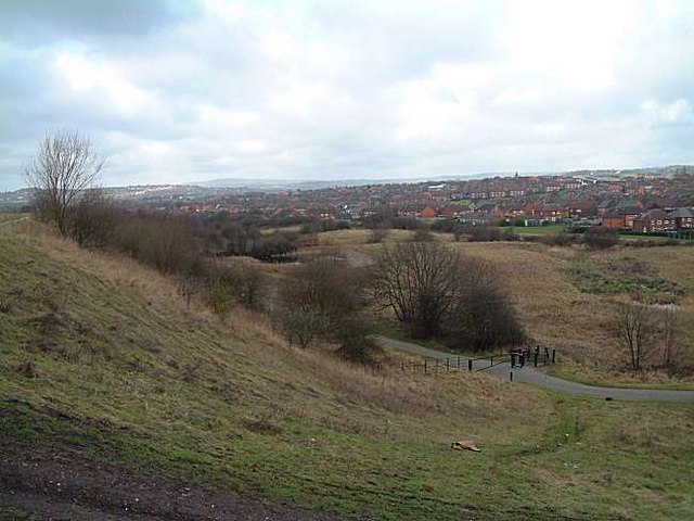
Brookhouse Wood is a picturesque woodland located in the county of Staffordshire, England. Spanning an area of approximately 100 acres, this enchanting forest is a popular destination for nature lovers and outdoor enthusiasts.

The woodland, situated near the village of Cheadle, is characterized by its diverse range of tree species, including oak, beech, birch, and ash. These majestic trees create a dense canopy that provides shade and shelter for a variety of wildlife. Visitors to Brookhouse Wood can expect to encounter a myriad of bird species, such as tits, finches, and woodpeckers, as well as small mammals like squirrels and foxes.

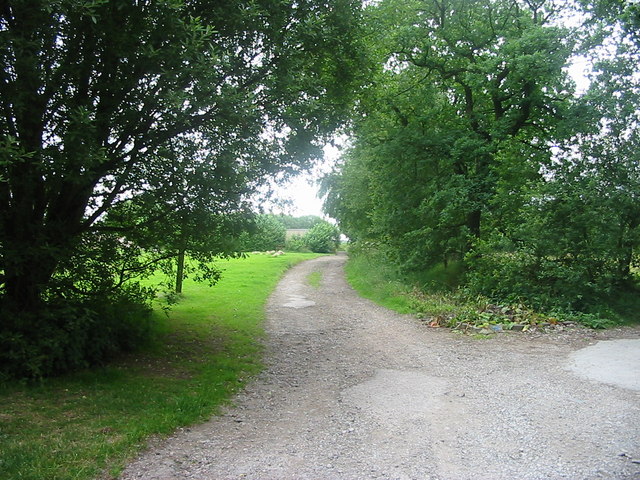
Tranquil walking trails wind through the woodland, offering visitors the opportunity to immerse themselves in the natural beauty of the surroundings. The paths are well-maintained and suitable for both leisurely strolls and more challenging hikes. Along the way, visitors will discover babbling brooks, charming meadows, and stunning wildflower displays during the spring and summer months.

Brookhouse Wood also boasts several picnic areas, making it an ideal spot for families and groups to enjoy a day out in nature. In addition, the woodland is home to a small car park, ensuring easy access for visitors.

Overall, Brookhouse Wood is a serene and captivating woodland that offers a peaceful retreat from the hustle and bustle of everyday life. Whether visitors are seeking a leisurely stroll, a picnic in nature, or a chance to observe the local wildlife, this enchanting forest in Staffordshire is sure to provide a memorable experience.

If you have any feedback on the listing, please let us know in the comments section below.

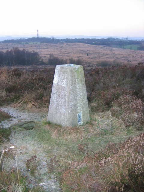
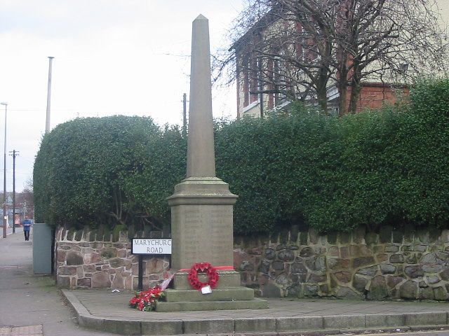
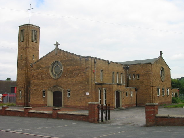
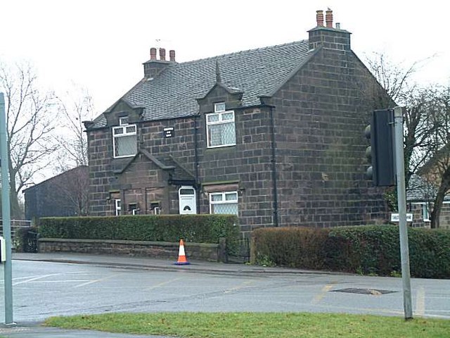
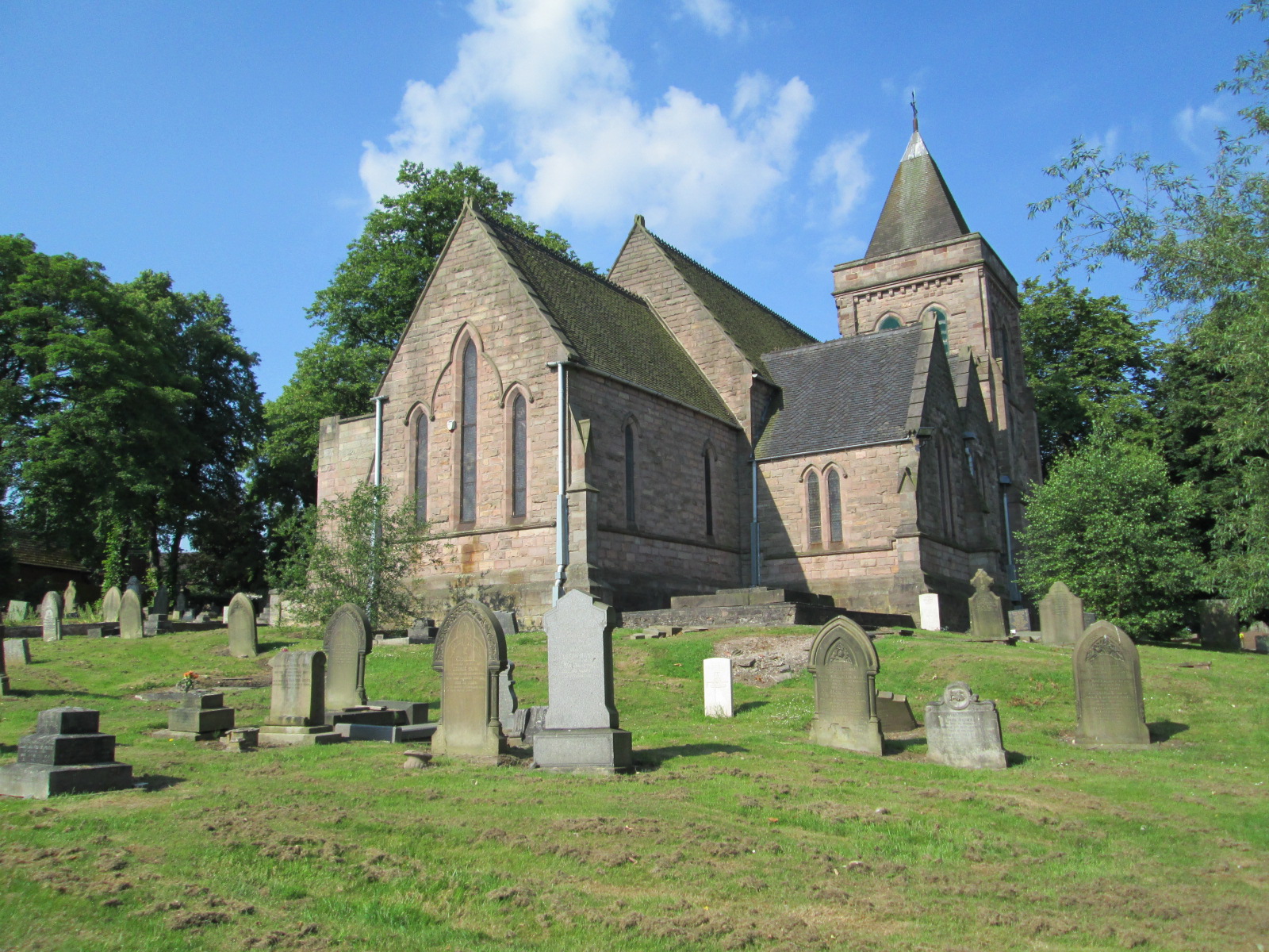
Brookhouse Wood Images

Images are sourced within 2km of 53.028947/-2.1190481 or Grid Reference SJ9247. Thanks to Geograph Open Source API. All images are credited.

St Philip's Church, Werrington
The Ashbank Pizza and carvery at Werrington
The Ashbank
Pizza and carvery at Werrington
Ash Road Terrace on Werrington Road
St Mary's church, Bucknall The church was built in 1718 and became a parish church in 1807.
St Mary's church, Bucknall
The church was built in 1718 and became a parish church in 1807.
Wetley Moor Trigpoint on the edge of a substantial heather moorland remnant.  Near Stoke on Trent, the  Pennine grits are making their presence felt with characteristic low fertility.
Wetley Moor
Trigpoint on the edge of a substantial heather moorland remnant. Near Stoke on Trent, the Pennine grits are making their presence felt with characteristic low fertility.
Bucknall War Memorial A small memorial to the men of the parish who died during World War One. Situated by the side of the A52 road on the outskirts of Stoke on Trent.
Bucknall War Memorial
A small memorial to the men of the parish who died during World War One. Situated by the side of the A52 road on the outskirts of Stoke on Trent.
St Benedict, RC Church, Abbey Hulton
Wetley Moor Entrance One of the many access points to Wetley Moor off Brookhouse Lane. The moor is common land and is an area of Special Scientific Interest.
Wetley Moor Entrance
One of the many access points to Wetley Moor off Brookhouse Lane. The moor is common land and is an area of Special Scientific Interest.
Ash Hall Job Meigh (a local potter) became the owner of the Ash Estate on 27th of March 1837. Construction of the house must have begun almost immediately because the date “1837” appears on the rainwater heads on the front of the building.

1840 account of the hall: "The exterior is of hard stone, (gotten on the estate,) of an Ash colour, giving the building an air of antiquity which harmonizes with the stile (sic.) of the architecture, being that of the manor house or Tudor era, with oriel windows, surmounted with pediments or pointed gables. An elegant portico, composed of three Gothic arches, turreted and embattled, adorns the front. The adjoining lawn is tastefully laid out and planted; and altogether, we must characterize Ash Hall as one of the most beautiful seats we have had occasion to notice.”
Ash Hall
Job Meigh (a local potter) became the owner of the Ash Estate on 27th of March 1837. Construction of the house must have begun almost immediately because the date “1837” appears on the rainwater heads on the front of the building. 1840 account of the hall: "The exterior is of hard stone, (gotten on the estate,) of an Ash colour, giving the building an air of antiquity which harmonizes with the stile (sic.) of the architecture, being that of the manor house or Tudor era, with oriel windows, surmounted with pediments or pointed gables. An elegant portico, composed of three Gothic arches, turreted and embattled, adorns the front. The adjoining lawn is tastefully laid out and planted; and altogether, we must characterize Ash Hall as one of the most beautiful seats we have had occasion to notice.”
St. Stephens Church, Bentilee Bentilee is situated approximately 2 miles east of Stoke-upon-Trent city centre. 
The church is in Dawlish Drive just off the A5272 (B5040)
St. Stephens Church, Bentilee
Bentilee is situated approximately 2 miles east of Stoke-upon-Trent city centre. The church is in Dawlish Drive just off the A5272 (B5040)
Greenfields Farm, Kerry Hill On Jack Hayes Lane near to the junction with Eaves Lane at Kerry Hill, Stoke-on-Trent
Greenfields Farm, Kerry Hill
On Jack Hayes Lane near to the junction with Eaves Lane at Kerry Hill, Stoke-on-Trent
Housing at Eaves Lane, Abbey Hulton Corner of Eaves Lane (to the right) and Greasely Road.
Housing at Eaves Lane, Abbey Hulton
Corner of Eaves Lane (to the right) and Greasely Road.
Bucknall Hospital Specialised hospitals like Bucknall Hospital, run by the local authorities, were opening to treat infectious diseases, and to prevent the spread of the disease by isolating infected patients.
Bucknall Hospital
Specialised hospitals like Bucknall Hospital, run by the local authorities, were opening to treat infectious diseases, and to prevent the spread of the disease by isolating infected patients.
Bucknall Pentecostal Church Assemblies of God Church on Eaves Lane, Bucknall.
Bucknall Pentecostal Church
Assemblies of God Church on Eaves Lane, Bucknall.
Methodist Church, Werrington Methodist Church, Ash Bank, Werrington, Staffordshire Moorlands
Methodist Church, Werrington
Methodist Church, Ash Bank, Werrington, Staffordshire Moorlands
St. Philip's Church, Werrington Corner of Ash bank Road and Salters Lane
St. Philip's Church, Werrington
Corner of Ash bank Road and Salters Lane
Cottages at Salters Lane, Werrington Ash Estate cottages on the corner of Ashbank road and Salters Lane

In 1854 Job Meigh (a famous potter) built a pair of labourers cottages at the corner of Salters Lane and Ash Bank Road. 

One of the occupiers was William Bonnell who was probably employed as the estate carpenter between about 1841 and 1871. He originally lived at Lawsons Farm on Brookhouse Lane but by 1871 was living in one of the new cottages.

See Job Meigh's hall:- <a title="https://www.geograph.org.uk/photo/335671" href="https://www.geograph.org.uk/photo/335671">Link</a>
Cottages at Salters Lane, Werrington
Ash Estate cottages on the corner of Ashbank road and Salters Lane In 1854 Job Meigh (a famous potter) built a pair of labourers cottages at the corner of Salters Lane and Ash Bank Road. One of the occupiers was William Bonnell who was probably employed as the estate carpenter between about 1841 and 1871. He originally lived at Lawsons Farm on Brookhouse Lane but by 1871 was living in one of the new cottages. See Job Meigh's hall:- Link
Bentilee Bentilee and Ubberly housing estates - seen from Mossfield
Bentilee
Bentilee and Ubberly housing estates - seen from Mossfield
Show me another place!

Brookhouse Wood is located at Grid Ref: SJ9247 (Lat: 53.028947, Lng: -2.1190481)

Administrative County: Staffordshire

District: Staffordshire Moorlands

Police Authority: Staffordshire

What 3 Words

///pounds.builds.tunnel. Near Stoke-on-Trent, Staffordshire

Nearby Locations

Ash Bank Brookhouse Wood

Related Wikis

Abbey Hill Academy

Abbey Hill Academy and College (formerly Abbey Hill School)' is a special school located in Stoke-on-Trent, Staffordshire, England.The school was previously...

Hanley High School, Stoke-on-Trent

Hanley High School founded in 1894 was originally a co-educational grammar school based in the centre of Stoke on Trent. In 1938, the girls moved to Thistley...

Mitchell High School, Stoke-on-Trent

Mitchell High School was a comprehensive school located in Bucknall, Stoke on Trent, England. == Admissions == Situated in the east of Stoke-on-Trent in...

Ash Bank

Ash Bank is a small village in Stoke-on-Trent near to Werrington. Located in the village is Ash Hall, an 1830s mansion built by Broad Street Pottery Works...

Abbey Hulton

Abbey Hulton is an area of Stoke-on-Trent, Staffordshire, England, named after the abbey that existed between the 13th and 16th centuries. == History... ==

Baddeley Edge

Baddeley Edge is a hamlet in the north of the city of Stoke-on-Trent, in the north of the county of Staffordshire. == Electoral Boundaries == It was formerly...

Armshead

Armshead is a village in Staffordshire, England. Population details for the 2011 census can be found under Cheddleton.

Bucknall, Staffordshire

Bucknall is a suburb of Stoke-on-Trent in the county of Staffordshire. It was recorded in the Domesday Book as having a taxable value of 0.3 geld and consisting...

Nearby Amenities

Located within 500m of 53.028947,-2.1190481
Brookhouse
Place: hamlet
Lat/Long: 53.02716/-2.1239077
Power: pole
Lat/Long: 53.0286276/-2.126332
Power: pole
Lat/Long: 53.0310343/-2.125117
Power: pole
Lat/Long: 53.0301827/-2.1255396
Power: pole
Lat/Long: 53.0293906/-2.1259404
Barrier: swing_gate
Bicycle: yes
Foot: yes
Horse: yes
Motor Vehicle: no
Wheelchair: no
Lat/Long: 53.032035/-2.1146447
Addr Housenumber: 186
Addr Street: Brook House Lane
Lat/Long: 53.0277876/-2.1137038
The data included in this document is from www.openstreetmap.org. The data is made available under ODbL.

Have you been to Brookhouse Wood?

Leave your review of Brookhouse Wood below (or comments, questions and feedback).