Ash

Settlement in Kent Dover

England

Ash

Looking north-northeast along The Row The telephone box, to the right of the footpath signpost, had been filled by a creeper. There was a notice, on the door, to inform the public that the box was going to be removed.
Looking north-northeast along The Row Credit: John Baker

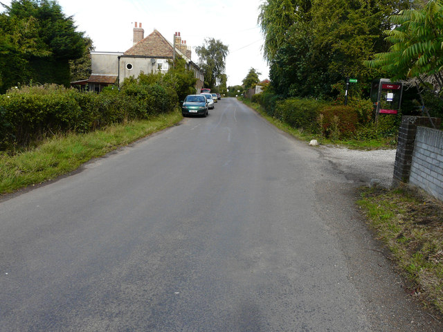
Ash is a village located in the borough of Dover, in the county of Kent, England. Situated about 2 miles west of Sandwich, it has a population of around 2,500 residents. The village lies on an ancient road called the A257, which connects Canterbury to Sandwich, providing convenient access to both towns.

Ash is known for its rich historical background, dating back to the Roman era. The village was mentioned in the Domesday Book of 1086, indicating its significance even in medieval times. It boasts a charming medieval church, St. Nicholas, which showcases architectural elements from various periods, including Norman and Gothic styles.

The village offers a peaceful and picturesque setting, surrounded by rolling fields and countryside. It is particularly popular among nature enthusiasts, with several walking trails and footpaths leading to nearby natural attractions, such as Ash Level Nature Reserve and the Stour Valley Walk. Additionally, the nearby Ashdown Forest provides ample opportunities for outdoor activities, including hiking, cycling, and horse riding.

Despite its relatively small size, Ash provides essential amenities for its residents, including a primary school, a village hall, a post office, and a few local shops and pubs. The village also benefits from good transportation links, with regular bus services connecting it to larger towns in the area.

Overall, Ash offers a tranquil and historic village experience, with its idyllic countryside location and close proximity to larger towns making it an attractive place to reside.

If you have any feedback on the listing, please let us know in the comments section below.
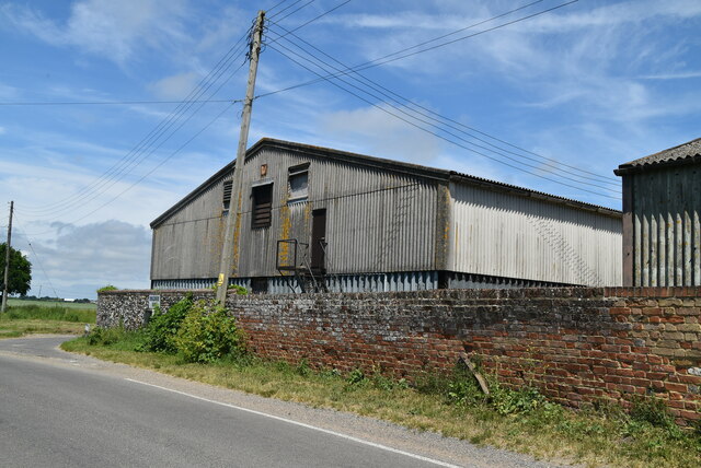
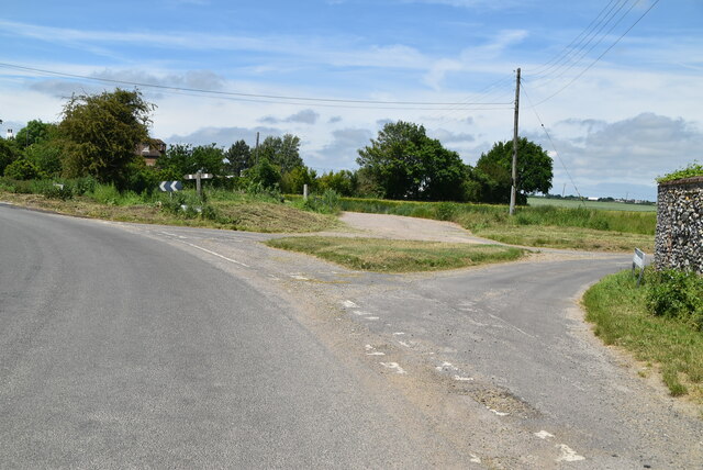
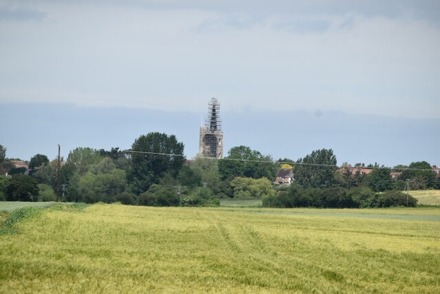
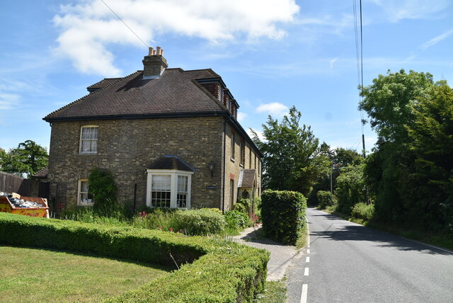
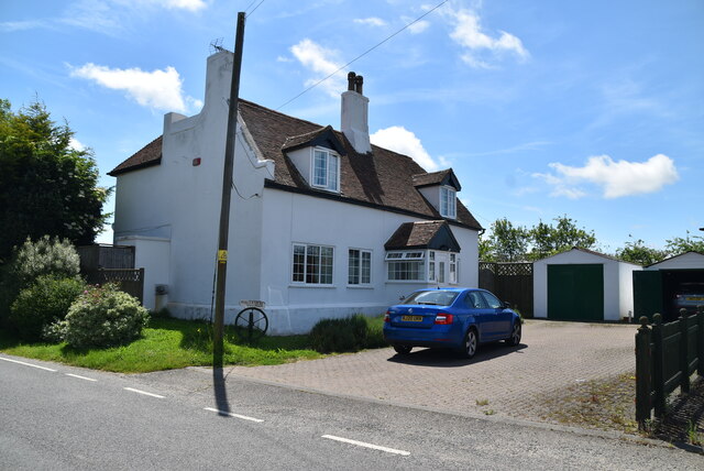
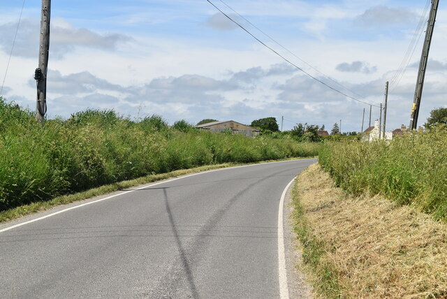
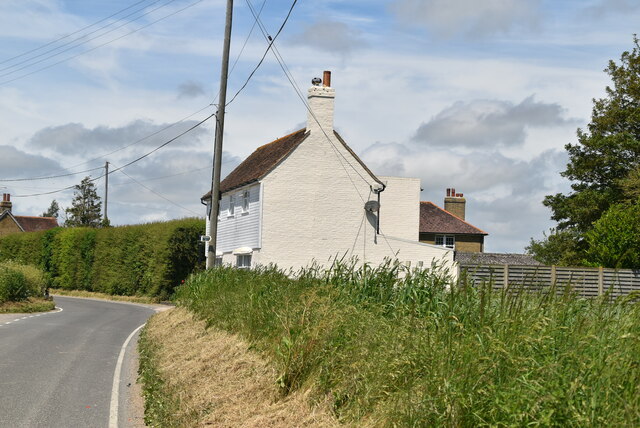
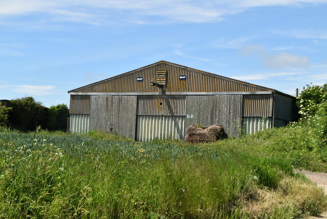
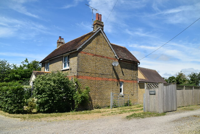
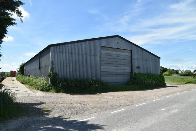
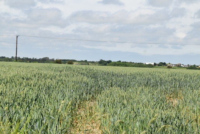
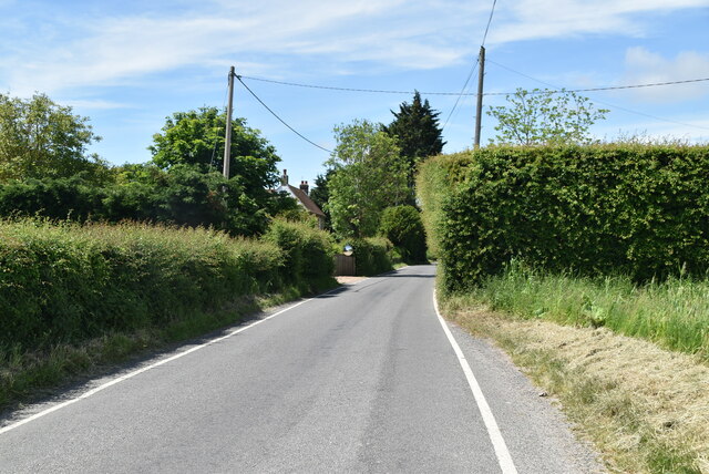
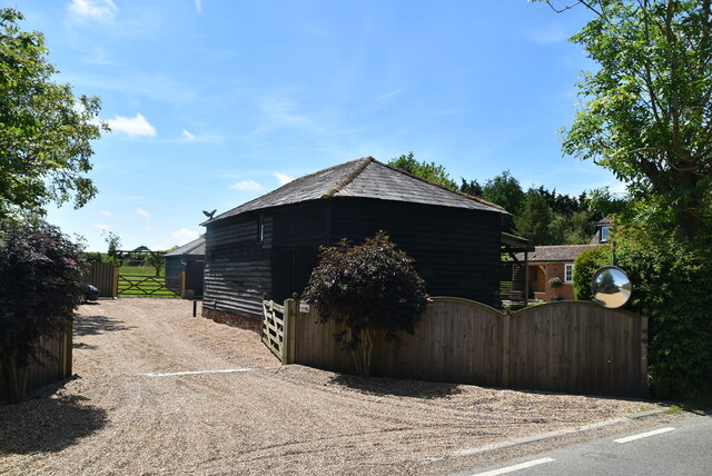
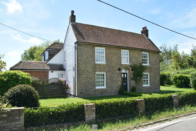
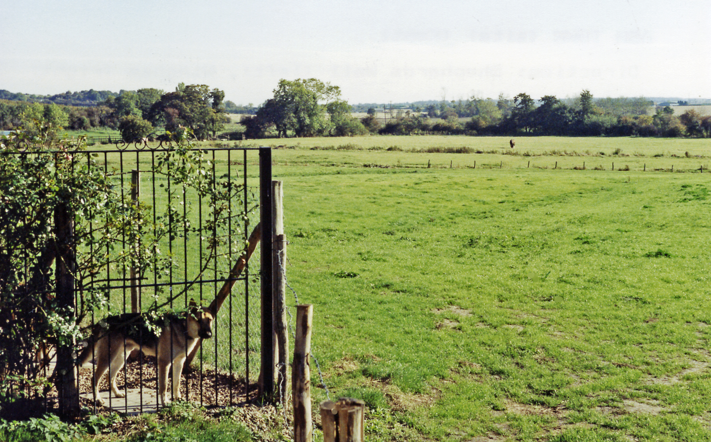
Ash Images

Images are sourced within 2km of 51.278937/1.2778962 or Grid Reference TR2858. Thanks to Geograph Open Source API. All images are credited.

Looking north-northeast along The Row The telephone box, to the right of the footpath signpost, had been filled by a creeper. There was a notice, on the door, to inform the public that the box was going to be removed.
Looking north-northeast along The Row
The telephone box, to the right of the footpath signpost, had been filled by a creeper. There was a notice, on the door, to inform the public that the box was going to be removed.
Flemings Water Supply Works, Fleming Road Planning permission has been granted by Dover District Council under application number DOV/21/01544 for the “change of use of land and erection of an ion exchange building, chemical dosing, changeover and wash-water kiosks, alterations to site access, bunds and associated plant and equipment”.
Flemings Water Supply Works, Fleming Road
Planning permission has been granted by Dover District Council under application number DOV/21/01544 for the “change of use of land and erection of an ion exchange building, chemical dosing, changeover and wash-water kiosks, alterations to site access, bunds and associated plant and equipment”.
An unusual signpost This is on the approach to Ash along Durlock Road. The fourth side has Hawaii 7357 miles. The signpost to the left looks more likely but presumably has been copied from somewhere else nearby and not brought here.
An unusual signpost
This is on the approach to Ash along Durlock Road. The fourth side has Hawaii 7357 miles. The signpost to the left looks more likely but presumably has been copied from somewhere else nearby and not brought here.
Pumping Station
Pumping Station
Barn, Ringlemere Farm
Ringlemere Lane
Ringlemere Lane
View towards Ash
View towards Ash
Westerfield
Westerfield
Ringlemere Cottage
Ringlemere Cottage
Drainless Rd
Drainless Rd
Black Pond Cottage
Black Pond Cottage
Barn, Black Pond
Barn, Black Pond
Great Flemings Farmhouse
Barn, Black Pond Farm
Fleming Rd
Fleming Rd
Barn, Flemings
Barn, Flemings
The Hollies
The Hollies
Show me another place!

Ash is located at Grid Ref: TR2858 (Lat: 51.278937, Lng: 1.2778962)

Administrative County: Kent

District: Dover

Police Authority: Kent

What 3 Words

///calendars.vouch.issuer. Near Ash, Kent

Nearby Locations

Ash Guilton

Related Wikis

Ash, Dover District

Ash is a village and civil parish in the Dover district of east Kent about three miles west of Sandwich. The civil parish has a population of 2,767, increasing...

Ash Town railway station

Ash Town railway station was a railway station on the East Kent Light Railway. The station served the village of Ash. == History == Opened by the East...
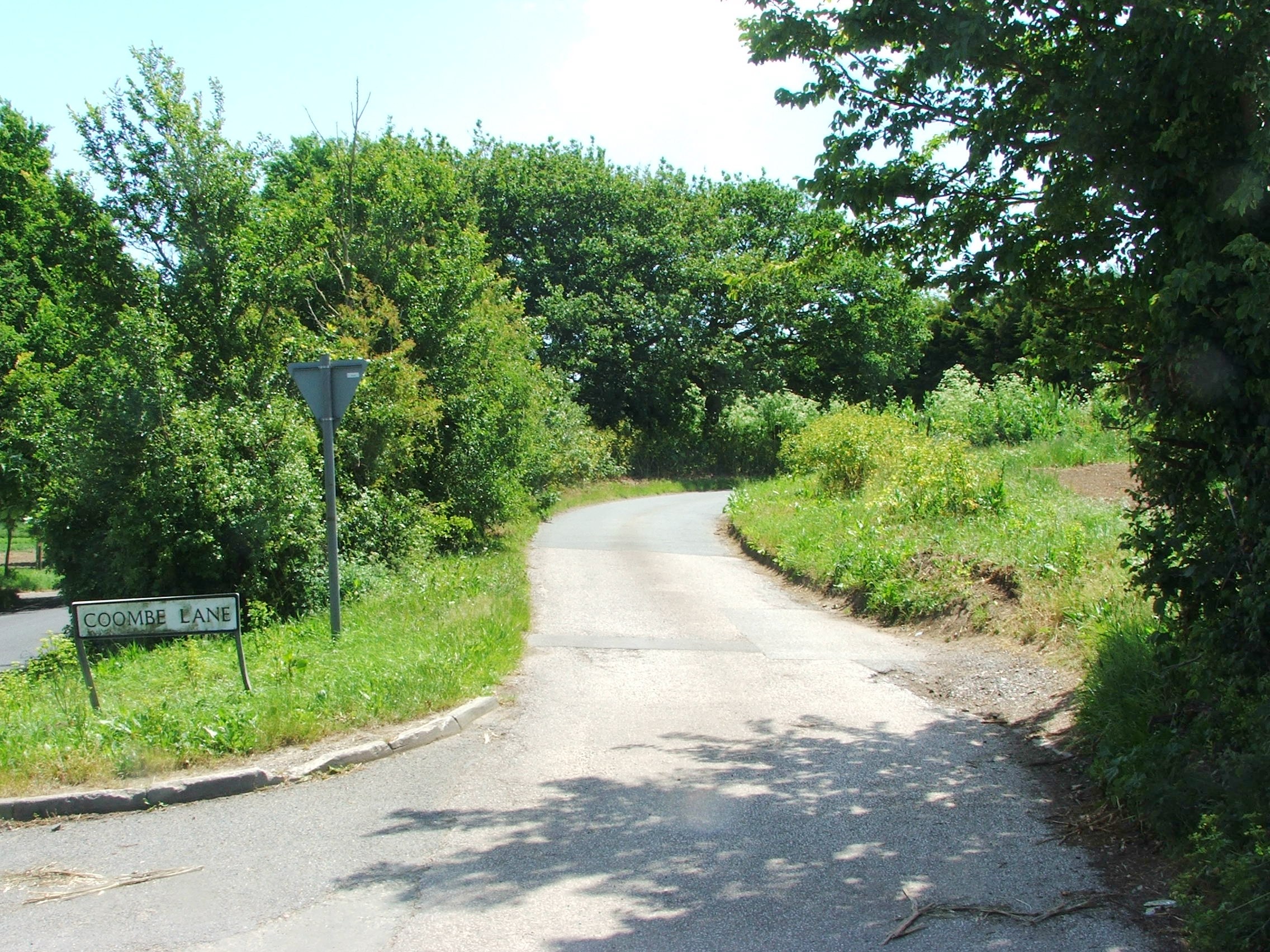
Coombe, Kent

Coombe is a settlement in the English county of Kent. It lies between Ash-next-Sandwich and Woodnesborough. According to Edward Hasted in 1800, it was...

Staple railway station

Staple railway station was a station on the East Kent Light Railway in southeast England, serving the village of Staple. It was located north of the village...

RAF Ash

Royal Air Force Ash or more simply RAF Ash (formerly RAF Sandwich) was a Royal Air Force underground control centre and radar station situated near the...

Ringlemere Cup

The Ringlemere Gold Cup is a Bronze Age vessel found in the Ringlemere barrow near Sandwich in the English county of Kent in 2001. == Description == The...

Marshborough

Marshborough is a small hamlet immediately adjacent to Woodnesborough in East Kent, England. == Listed buildings == === Parsonage Farm === The farmhouse...

Ringlemere barrow

The Ringlemere barrow is an archaeological site near Sandwich in the English county of Kent most famous as being the find site of the Ringlemere gold cup...

Nearby Amenities

Located within 500m of 51.278937,1.2778962
Ash
Is In: Kent, England, UK
Is In County: Kent
Is In District: Dover
Place: village
Population: 2062
Source Population: 2001 census
Wikidata: Q4804328
Lat/Long: 51.2809857/1.2803063
Ash Town
Historic Railway: station
Railway: site
Source: NPE
Wikidata: Q4804474
Wikipedia: en:Ash Town railway station
Lat/Long: 51.2761154/1.2756753
Bus Stop
The Chequer Inn
Bench: no
Bin: yes
Bus: yes
Naptan AtcoCode: 240096842
Naptan Bearing: E
Naptan CommonName: The Chequer Inn
Naptan Indicator: adj
Naptan Landmark: Chequer Lane
Naptan NaptanCode: kntgjtmp
Naptan PlusbusZoneRef: DEAL
Naptan Street: The Street
Naptan Verified: no
Public Transport: platform
Ref: kntgjtmp
Shelter: no
Source: naptan_import
Source Date: 2018-02-15T12:29:00
Lat/Long: 51.279208/1.2756781
Bus Stop
White Post Gardens
Bench: no
Bus: yes
Naptan AtcoCode: 240096860
Naptan Bearing: W
Naptan CommonName: White Post Gardens
Naptan Indicator: opp
Naptan Landmark: White Post Gardens
Naptan NaptanCode: kntgmdgw
Naptan PlusbusZoneRef: DEAL
Naptan Street: Sandwich Road
Naptan Verified: no
Public Transport: platform
Ref: kntgmdgw
Shelter: no
Source: naptan_import
Source Date: 2018-02-15T11:49:00
Lat/Long: 51.2785093/1.2848789
Bus Stop
Street End Corner
Bench: yes
Bus: yes
Naptan AtcoCode: 2400A033640A
Naptan Bearing: W
Naptan CommonName: Street End Corner
Naptan Indicator: adj
Naptan Landmark: Moat Lane
Naptan NaptanCode: kntdjwtd
Naptan PlusbusZoneRef: DEAL
Naptan Street: The Street
Naptan Verified: no
Public Transport: platform
Ref: kntdjwtd
Shelter: yes
Source: naptan_import
Source Date: 2018-02-15T12:26:00
Lat/Long: 51.2783594/1.2818851
Bus Stop
The Chequer Inn
Bench: yes
Bin: yes
Bus: yes
Naptan AtcoCode: 2400A033650A
Naptan Bearing: W
Naptan CommonName: The Chequer Inn
Naptan Indicator: opp
Naptan Landmark: Chequer Lane
Naptan NaptanCode: kntdjwtg
Naptan PlusbusZoneRef: DEAL
Naptan Street: The Street
Naptan Verified: no
Public Transport: platform
Ref: kntdjwtg
Shelter: yes
Source: naptan_import
Source Date: 2018-02-15T12:30:00
Lat/Long: 51.2790763/1.2758838
Bus Stop
Street End Corner
Bench: no
Bin: no
Naptan AtcoCode: 2400A033690A
Naptan Bearing: E
Naptan CommonName: Street End Corner
Naptan Indicator: opp
Naptan Landmark: Moat Lane
Naptan NaptanCode: kntdjwtw
Naptan PlusbusZoneRef: DEAL
Naptan Street: The Street
Naptan Verified: no
Public Transport: platform
Ref: kntdjwtw
Shelter: no
Source: naptan_import
Source Date: 2018-02-15T12:27:00
Lat/Long: 51.2786011/1.2812856
Bus Stop
White Post Gardens
Bench: no
Bin: no
Naptan AtcoCode: 2400A033700A
Naptan Bearing: E
Naptan CommonName: White Post Gardens
Naptan Indicator: adj
Naptan Landmark: White Post Gardens
Naptan NaptanCode: kntdmada
Naptan PlusbusZoneRef: DEAL
Naptan Street: Sandwich Road
Naptan Verified: no
Public Transport: platform
Ref: kntdmada
Shelter: no
Source: naptan_import
Source Date: 2014-01-27T15:21:00
Tactile Paving: no
Lat/Long: 51.2786123/1.2844129
Entrance: service
Lat/Long: 51.2808362/1.2749717
Library
Source: OS_OpenData_StreetView
Lat/Long: 51.2794057/1.2798716
Place Of Worship
Ash United Reformed Church
Denomination: reformed
Religion: christian
Source: OS_OpenData_StreetView
Lat/Long: 51.2787184/1.2772614
Turning Circle
Lat/Long: 51.2827383/1.2763447
Pub
The Chequer Inn
Addr City: Ash
Addr Country: GB
Addr Housenumber: 4
Addr Postcode: CT3 2ET
Addr Street: Chequer Lane
Fhrs Id: 1170182
Wikidata: Q26304141
Lat/Long: 51.2793256/1.2758083
Toilets
Lat/Long: 51.2790326/1.2761105
Post Box
Brand: Royal Mail
Brand Wikidata: Q638098
Collection Times: Mo-Fr 09:00; Sa 07:00
Operator: Royal Mail
Operator Wikidata: Q638098
Post Box Design: type_b
Post Box Type: pillar
Ref: CT3 268
Royal Cypher: GR
Royal Cypher Wikidata: Q33102273
Source: survey
Lat/Long: 51.2793815/1.2760019
Post Box
Collection Times: Mo-Fr 09:00; Sa 07:00
Operator: Royal Mail
Operator Wikidata: Q638098
Post Box Mounting: metal_post
Post Box Type: lamp
Postal Code: CT3
Ref: CT3 210
Royal Cypher: EIIR
Royal Cypher Wikidata: Q33102113
Source: survey
Lat/Long: 51.2799262/1.2783882
Entrance: main
Lat/Long: 51.2807497/1.2742325
Turning Circle
Lat/Long: 51.2807822/1.2740894
Post Box
Collection Times: Mo-Fr 09:00; Sa 07:00
Operator: Royal Mail
Operator Wikidata: Q638098
Post Box Mounting: brick_pillar
Post Box Type: wall
Postal Code: CT3
Ref: CT3 305
Royal Cypher: GVIR
Royal Cypher Wikidata: Q33102169
Source: survey
Lat/Long: 51.2810921/1.2730663
Post Box
Brand: Royal Mail
Brand Wikidata: Q638098
Collection Times: Mo-Fr 09:00; Sa 07:00
Mapillary: 319522426557736
Operator: Royal Mail
Operator Wikidata: Q638098
Post Box Mounting: pier
Post Box Type: lamp
Postal Code: CT3
Ref: CT3 285
Royal Cypher: EIIR
Royal Cypher Wikidata: Q33102113
Source: survey
Survey Date: 2021-06-19
Lat/Long: 51.2784036/1.2820166
Power: pole
Lat/Long: 51.2748055/1.2805609
Power: pole
Lat/Long: 51.2781109/1.2767066
Power: pole
Lat/Long: 51.2768307/1.277015
Power: pole
Lat/Long: 51.2774062/1.2768755
Power: pole
Lat/Long: 51.2752166/1.2794478
Power: pole
Lat/Long: 51.2756159/1.278391
Power: pole
Lat/Long: 51.2760438/1.2772108
Welcome
Addr City: Ash
Addr Country: GB
Addr Postcode: CT3 2EW
Addr Street: The Street
Contact Website: https://stores.welcome-stores.co.uk/kent/nr-canterbury/20-the-street.html
Fhrs Id: 486214
Operator: The Southern Co-operative Limited
Payment Cash: yes
Payment Credit Cards: yes
Shop: convenience
Lat/Long: 51.2792409/1.2762476
Parking
Lat/Long: 51.2789104/1.2761055
Recycling
Lat/Long: 51.2796905/1.2793858
Historic: memorial
Lat/Long: 51.2787043/1.2799811
Poparound
Addr City: Ash
Addr Housenumber: 31
Addr Postcode: CT3 2HH
Addr Street: The Street
Brand: Premier
Brand Wikidata: Q7240340
Fhrs Id: 902380
Note: When i shopped here on Friday 7th July 2023 this shop's till receipt states: "Pop Around (Best One)" although the shop frontage is Premier.
Operator: Premier
Shop: convenience
Source: receipt from visit
Website: https://www.premier-stores.co.uk/our-stores/poparound
Lat/Long: 51.2790807/1.2755485
Generator Method: photovoltaic
Generator Output Electricity: yes
Generator Solar Modules: 12
Generator Source: solar
Generator Type: solar_photovoltaic_panel
Location: roof
Power: generator
Lat/Long: 51.2792032/1.2824319
Generator Method: photovoltaic
Generator Output Electricity: yes
Generator Solar Modules: 16
Generator Source: solar
Generator Type: solar_photovoltaic_panel
Location: roof
Power: generator
Lat/Long: 51.2787145/1.2827504
Generator Method: photovoltaic
Generator Output Electricity: yes
Generator Solar Modules: 12
Generator Source: solar
Generator Type: solar_photovoltaic_panel
Location: roof
Power: generator
Lat/Long: 51.2787816/1.2826431
Generator Method: photovoltaic
Generator Output Electricity: yes
Generator Source: solar
Generator Type: solar_photovoltaic_panel
Location: roof
Power: generator
Lat/Long: 51.2817596/1.2797329
Generator Method: photovoltaic
Generator Output Electricity: yes
Generator Source: solar
Generator Type: solar_photovoltaic_panel
Location: roof
Power: generator
Lat/Long: 51.2804023/1.2776247
Generator Method: photovoltaic
Generator Output Electricity: yes
Generator Source: solar
Generator Type: solar_photovoltaic_panel
Location: roof
Power: generator
Lat/Long: 51.2809878/1.2721878
Generator Method: photovoltaic
Generator Output Electricity: yes
Generator Source: solar
Generator Type: solar_photovoltaic_panel
Location: roof
Power: generator
Lat/Long: 51.2786859/1.2729979
Turning Circle
Lat/Long: 51.2757558/1.282542
Generator Output Electricity: yes
Generator Source: solar
Generator Type: solar_photovoltaic_panel
Location: roof
Power: generator
Lat/Long: 51.2827041/1.2757954
Generator Output Electricity: yes
Generator Source: solar
Generator Type: solar_photovoltaic_panel
Location: roof
Power: generator
Lat/Long: 51.282684/1.2758625
Generator Output Electricity: yes
Generator Source: solar
Generator Type: solar_photovoltaic_panel
Location: roof
Power: generator
Lat/Long: 51.2808972/1.2768468
Generator Output Electricity: yes
Generator Source: solar
Generator Type: solar_photovoltaic_panel
Location: roof
Power: generator
Lat/Long: 51.280909/1.2769166
Generator Output Electricity: yes
Generator Source: solar
Generator Type: solar_photovoltaic_panel
Location: roof
Power: generator
Lat/Long: 51.2786373/1.2762701
Generator Output Electricity: yes
Generator Source: solar
Generator Type: solar_photovoltaic_panel
Location: roof
Power: generator
Lat/Long: 51.2795299/1.2762111
Generator Output Electricity: yes
Generator Source: solar
Generator Type: solar_photovoltaic_panel
Location: roof
Power: generator
Lat/Long: 51.2781683/1.2815018
Generator Output Electricity: yes
Generator Source: solar
Generator Type: solar_photovoltaic_panel
Location: roof
Power: generator
Lat/Long: 51.2787631/1.284062
Generator Method: photovoltaic
Generator Output Electricity: yes
Generator Source: solar
Generator Type: solar_photovoltaic_panel
Location: roof
Power: generator
Lat/Long: 51.2790458/1.2747829
Generator Method: photovoltaic
Generator Output Electricity: yes
Generator Source: solar
Generator Type: solar_photovoltaic_panel
Location: roof
Power: generator
Lat/Long: 51.2789947/1.2748298
Generator Method: photovoltaic
Generator Output Electricity: yes
Generator Source: solar
Generator Type: solar_photovoltaic_panel
Location: roof
Power: generator
Lat/Long: 51.2823082/1.2749961
Generator Method: photovoltaic
Generator Output Electricity: yes
Generator Source: solar
Generator Type: solar_photovoltaic_panel
Location: roof
Power: generator
Lat/Long: 51.2826622/1.2794526
Generator Method: photovoltaic
Generator Output Electricity: yes
Generator Source: solar
Generator Type: solar_photovoltaic_panel
Location: roof
Power: generator
Lat/Long: 51.2826253/1.2794714
Generator Method: photovoltaic
Generator Output Electricity: yes
Generator Source: solar
Generator Type: solar_photovoltaic_panel
Location: roof
Power: generator
Lat/Long: 51.2820524/1.2789698
Generator Method: photovoltaic
Generator Output Electricity: yes
Generator Source: solar
Generator Type: solar_photovoltaic_panel
Location: roof
Power: generator
Lat/Long: 51.2820272/1.2790395
Generator Method: photovoltaic
Generator Output Electricity: yes
Generator Source: solar
Generator Type: solar_photovoltaic_panel
Location: roof
Power: generator
Lat/Long: 51.2820431/1.2790771
Generator Method: photovoltaic
Generator Output Electricity: yes
Generator Source: solar
Generator Type: solar_photovoltaic_panel
Location: roof
Power: generator
Lat/Long: 51.2810222/1.2792407
Generator Method: photovoltaic
Generator Output Electricity: yes
Generator Source: solar
Generator Type: solar_photovoltaic_panel
Location: roof
Power: generator
Lat/Long: 51.281018/1.2791602
The data included in this document is from www.openstreetmap.org. The data is made available under ODbL.

Have you been to Ash?

Leave your review of Ash below (or comments, questions and feedback).