Ash
Settlement in Kent Sevenoaks
England
Ash
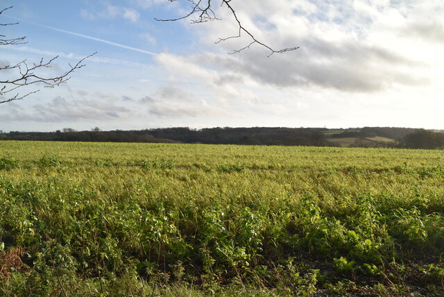
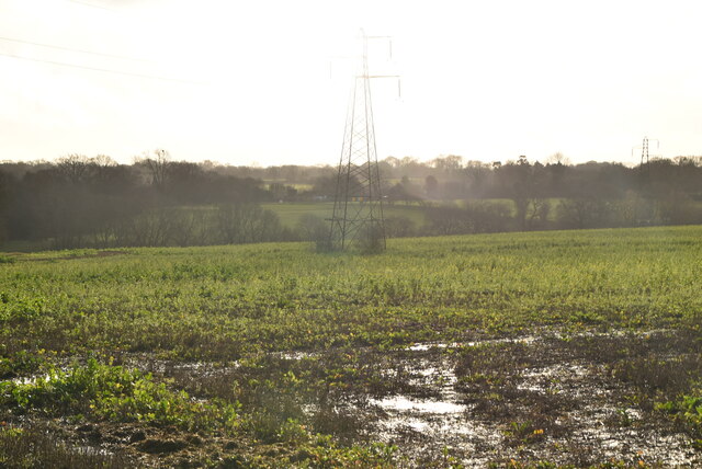
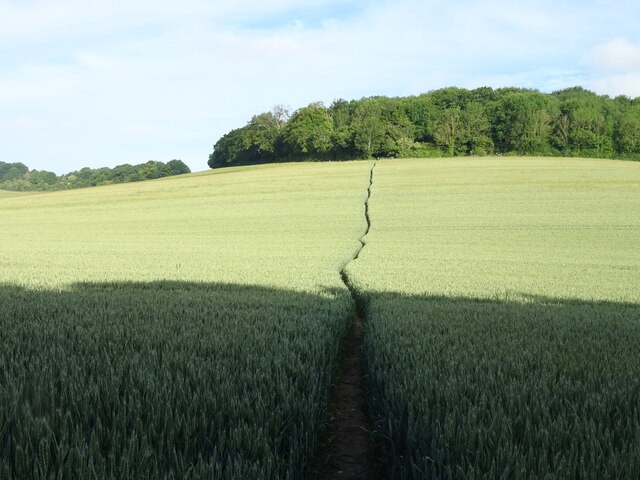
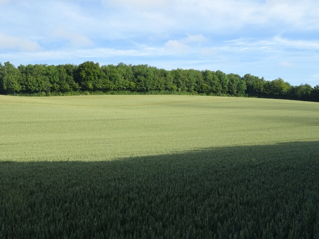
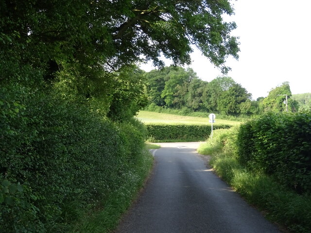
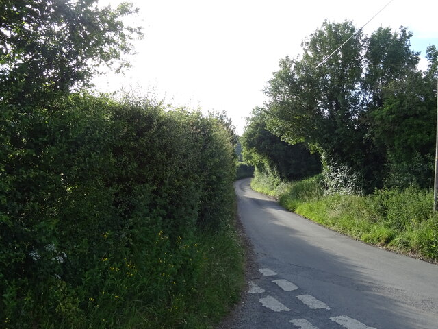
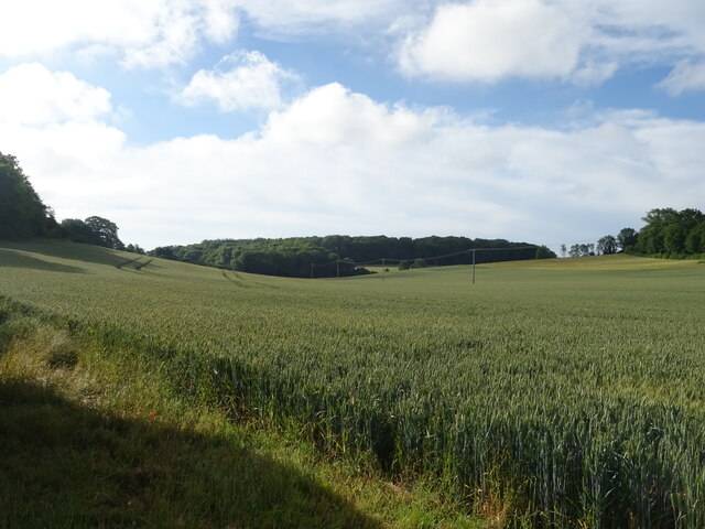
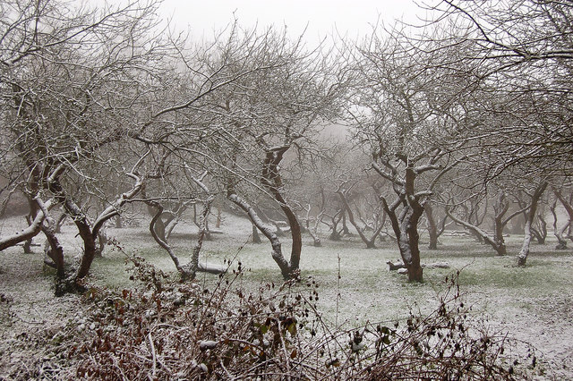
Ash is a picturesque village located in the county of Kent, England. Situated in the southeastern part of the country, it is nestled between the towns of Canterbury and Sandwich. The village is set amidst beautiful countryside, with rolling hills and lush green fields surrounding it.
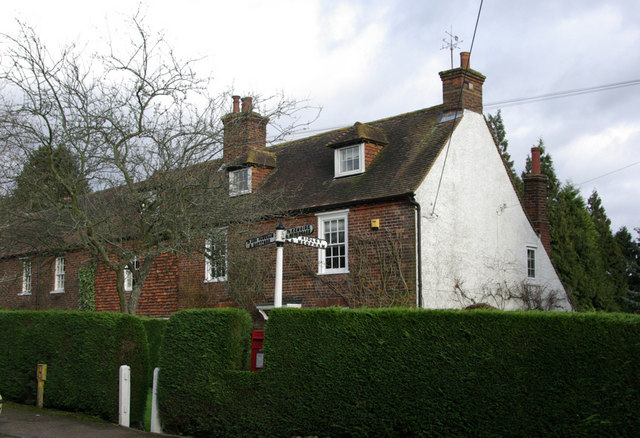
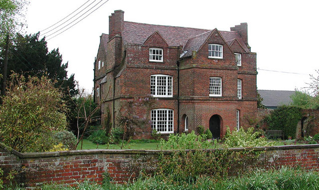
Dating back to medieval times, Ash has a rich history and retains much of its traditional charm. The architecture is a mix of old and new, with historic timber-framed buildings standing alongside modern houses. The village center features a charming square, where locals and visitors gather to enjoy the peaceful atmosphere and take in the quaint surroundings.
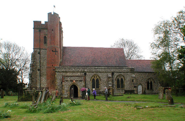
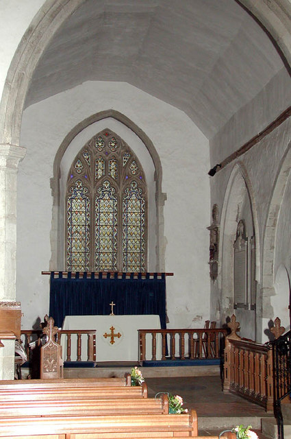
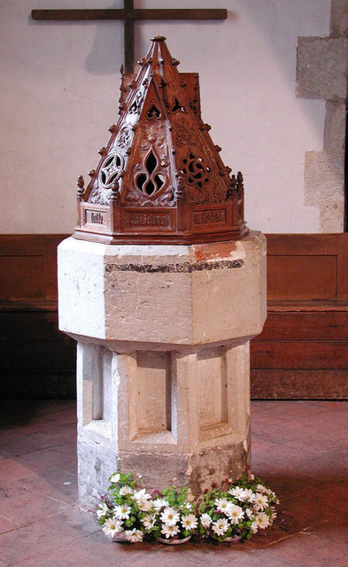
One of the notable landmarks in Ash is the Church of St. Nicholas, a stunning medieval church that dates back to the 13th century. Its beautiful stained glass windows and intricate stonework are a testament to the village's historical significance.
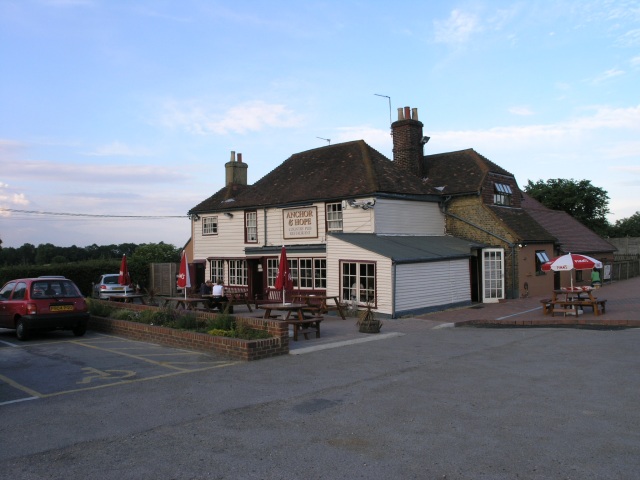
Ash is also known for its strong sense of community. The village has a range of amenities, including a primary school, a post office, a local pub, and several shops and restaurants. The residents take pride in organizing various events and activities throughout the year, fostering a close-knit community spirit.
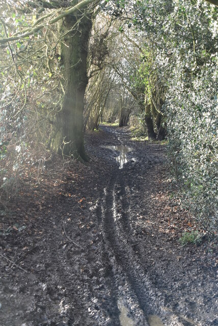
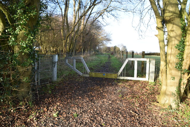
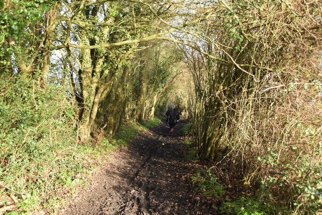
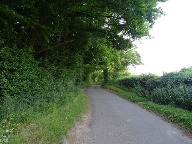
The surrounding countryside offers plenty of opportunities for outdoor activities, such as hiking, cycling, and horse riding. Ash is also well-connected, with good transport links to nearby towns and cities, making it an attractive place to live for those seeking a peaceful rural lifestyle with easy access to urban amenities.
In summary, Ash, Kent, is a charming village with a rich history, a strong sense of community, and stunning natural surroundings. It is a place where past and present come together, offering residents and visitors a delightful blend of tradition and modernity.
If you have any feedback on the listing, please let us know in the comments section below.
Ash Images
Images are sourced within 2km of 51.356876/0.294418 or Grid Reference TQ5964. Thanks to Geograph Open Source API. All images are credited.
Ash is located at Grid Ref: TQ5964 (Lat: 51.356876, Lng: 0.294418)
Administrative County: Kent
District: Sevenoaks
Police Authority: Kent
What 3 Words
///honey.ankle.cheer. Near West Kingsdown, Kent
Nearby Locations
Related Wikis

Ash, Sevenoaks District
Ash is a small village and former civil parish located in the Sevenoaks district in Kent. It shares the parish of Ash-cum-Ridley with the nearby village...
Ash-cum-Ridley
Ash-cum-Ridley is a civil parish in the Sevenoaks district of Kent, England. According to the 2001 census the parish had a population of 7,070, reducing...

New Ash Green
New Ash Green is a village in the Sevenoaks District of Kent, England. It is located 8 miles south west of Gravesend. == History == Building of the village...
London Golf Club
The London Golf Club is a privately owned golf course located in the village of Ash, Kent, approximately 20 miles southeast of London. == History == The...

Fawkham
Fawkham is a village and civil parish in the Sevenoaks District of Kent, England. Fawkham is defined as a hamlet by Sevenoaks District Council, with a...
Fawkham Green
Fawkham Green see Fawkham == External links == Parish church

Ridley, Kent
Ridley is a place and former civil parish, now in the parish of Ash-cum-Ridley, in the Sevenoaks district, in the county of Kent, England. It lies between...
Brands Hatch
Brands Hatch is a motor racing circuit in West Kingsdown, Kent, England, United Kingdom. Originally used as a grasstrack motorcycle circuit on farmland...
Nearby Amenities
Located within 500m of 51.356876,0.294418Have you been to Ash?
Leave your review of Ash below (or comments, questions and feedback).