Ash
Settlement in Dorset
England
Ash
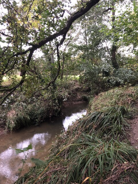
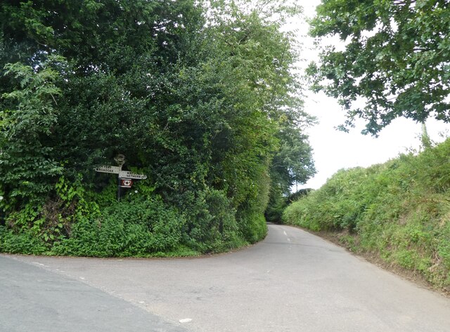
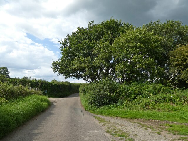
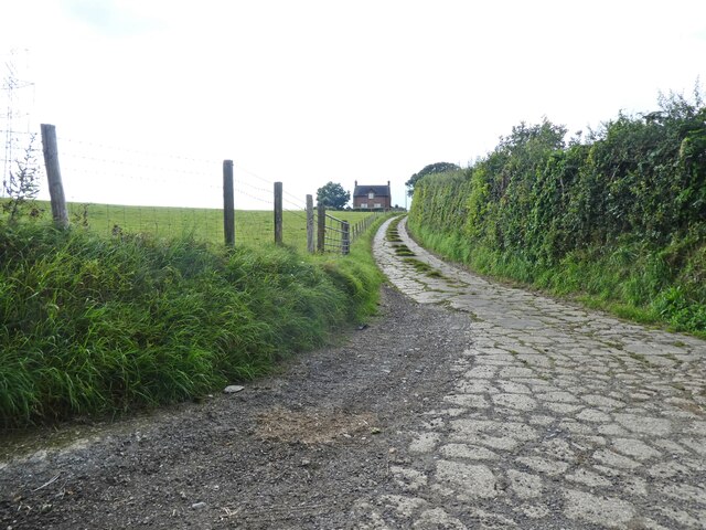
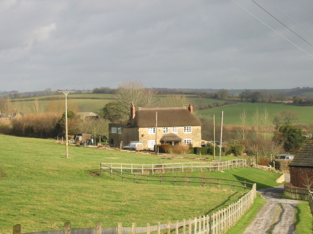
Ash is a small village located in the county of Dorset, England. Situated approximately 13 miles southwest of the county town of Dorchester, Ash lies within the West Dorset administrative district. The village is nestled amidst the picturesque countryside of the Marshwood Vale, offering residents and visitors alike stunning views and a tranquil environment.
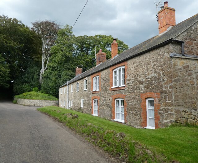
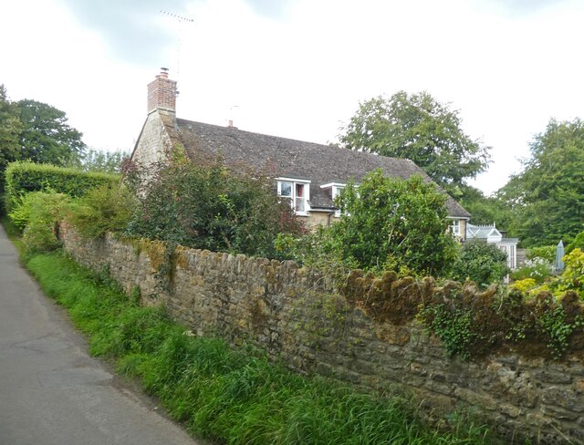
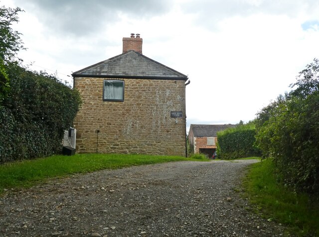
The village of Ash is known for its charming rural character and historic charm. It boasts an array of traditional thatched cottages, stone houses, and quaint farm buildings that reflect its rich heritage. The architecture showcases a blend of different periods, with some buildings dating back to the 17th century.
Ash is home to a close-knit community that takes pride in preserving the village's history and traditions. The village has a small but thriving local economy, with a handful of local businesses, a village shop, and a traditional pub serving as social hubs for residents. The community often organizes events and activities, fostering a strong sense of belonging among its inhabitants.
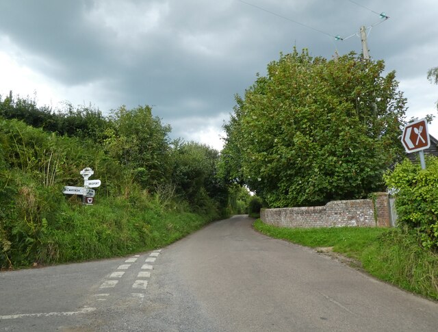
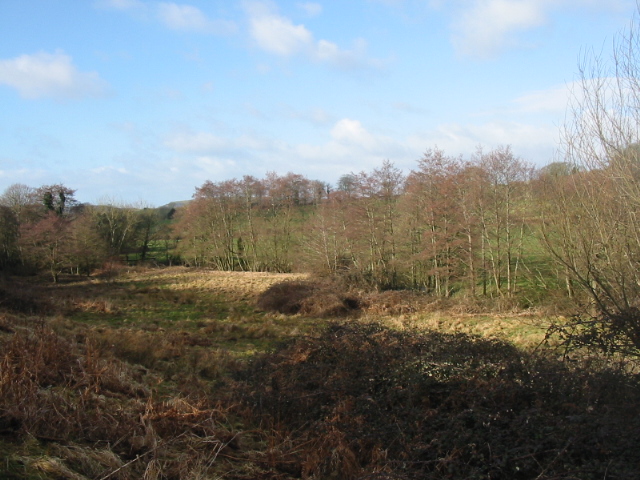
For nature enthusiasts, Ash provides ample opportunities for exploration and outdoor pursuits. The surrounding countryside offers beautiful walking trails, where visitors can discover the natural beauty of the area, including the nearby Ash Woods, a site of special scientific interest. Additionally, the village is conveniently located within close proximity to the stunning Jurassic Coast, a UNESCO World Heritage site, known for its breathtaking cliffs and fossils.
In summary, Ash, Dorset is a delightful village that showcases the best of rural England. With its historic buildings, close-knit community, and stunning natural surroundings, it offers a peaceful retreat for residents and a charming destination for visitors.
If you have any feedback on the listing, please let us know in the comments section below.
Ash Images
Images are sourced within 2km of 50.761067/-2.7669864 or Grid Reference SY4696. Thanks to Geograph Open Source API. All images are credited.
Ash is located at Grid Ref: SY4696 (Lat: 50.761067, Lng: -2.7669864)
Unitary Authority: Dorset
Police Authority: Dorset
What 3 Words
///slept.grudges.banks. Near Bridport, Dorset
Nearby Locations
Related Wikis

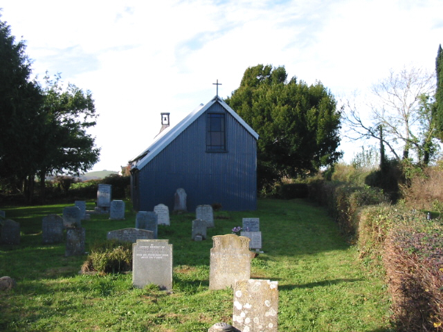
St Saviour's Church, Dottery
St Saviour's Church is a Church of England church in Dottery, Dorset, England. Erected in 1881–82, the corrugated iron church (Tin tabernacle) is the only...

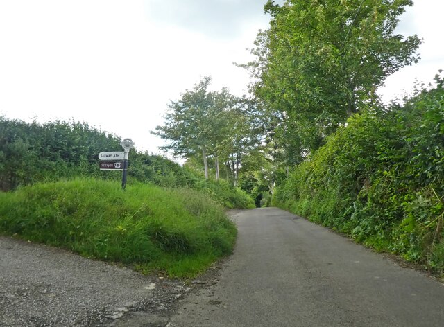
Salway Ash
Salway Ash (also spelt Salwayash) is a village in Dorset, England. Holy Trinity Church was built there in 1887–89. == References ==
Pymore, Dorset
Pymore is a small village one mile north of Bridport, Dorset. Served by a pub, The Pymore Inn, Pymore has recently undergone a redevelopment - the site...

Holy Trinity Church, Salway Ash
Holy Trinity Church is a Church of England church in Salway Ash, Dorset, England. The church was designed by George Crickmay and built in 1887–89. It now...
Atrim
Atrim is a small village in Dorset, England, just north of the large town, Bridport. It is situated on the River Simene. The nearest village is Dottery...
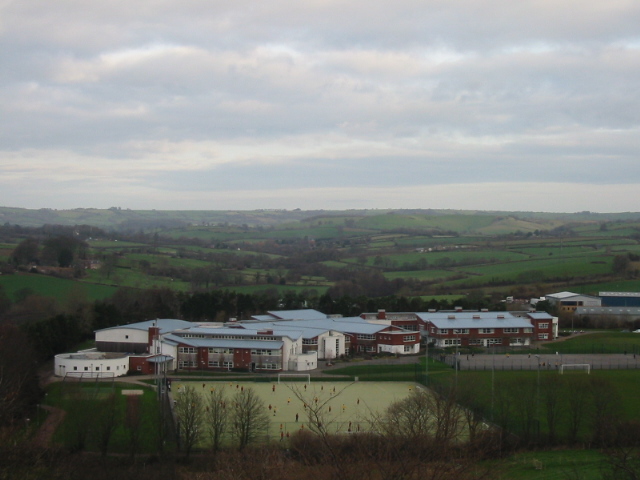
The Sir John Colfox Academy
The Sir John Colfox Academy (formerly the Sir John Colfox School, and until 1999 Colfox School) is a coeducational secondary school and sixth form located...

St Paul's Church, Broadoak
St Paul's Church is a Church of England church in Broadoak, Dorset, England. It was designed by Thomas Talbot Bury and built in 1865–66. The church has...

Oxbridge, Dorset
Oxbridge is a hamlet in the English county of Dorset. It lies on the River Brit between Bridport and Beaminster. == External links == Map sources for...
Nearby Amenities
Located within 500m of 50.761067,-2.7669864Have you been to Ash?
Leave your review of Ash below (or comments, questions and feedback).