David Wood

Wood, Forest in Yorkshire Hambleton

England

David Wood

Minor  road  junction  on  A67
Minor road junction on A67 Credit: Martin Dawes

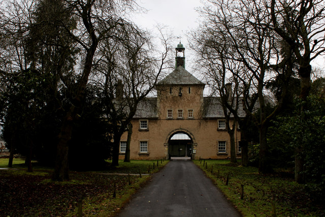
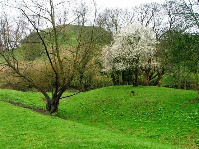
David Wood is a picturesque woodland located in Yorkshire, England. It is a part of the larger Forest of Bowland, known for its natural beauty and rich biodiversity. Situated in the western part of the county, David Wood covers an area of approximately 100 hectares.

The woodland is predominantly composed of native deciduous trees, including oak, birch, and beech, which create a stunning display of colors in the autumn months. The forest floor is adorned with a carpet of bluebells and other wildflowers during the spring, adding to its charm.

David Wood is not only a haven for nature enthusiasts but also provides a habitat for a diverse range of wildlife. Birdwatchers can spot a variety of species, including woodpeckers, owls, and songbirds. The woodland is also home to mammals such as deer, foxes, and rabbits, which can be spotted if one is patient and observant.

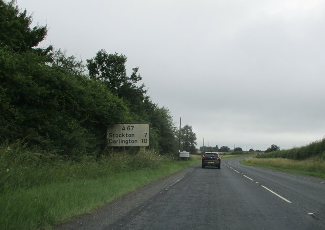
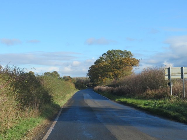
The site is popular among outdoor enthusiasts, offering a network of well-maintained walking trails that allow visitors to explore the woodland's beauty. These paths wind through the forest, providing opportunities for leisurely strolls or more challenging hikes. A small stream meanders through the wood, adding to the tranquility of the surroundings.

David Wood is a cherished natural gem in Yorkshire, providing a peaceful retreat and a chance to connect with nature. Whether visitors come to immerse themselves in the vibrant autumn colors, listen to the birdsong, or simply escape the hustle and bustle of everyday life, this woodland offers an enchanting experience for all.

If you have any feedback on the listing, please let us know in the comments section below.

David Wood Images

Images are sourced within 2km of 54.463436/-1.3181018 or Grid Reference NZ4407. Thanks to Geograph Open Source API. All images are credited.

Minor  road  junction  on  A67
Minor road junction on A67
Road  signs  on  A67  toward  Kirklevington
Road signs on A67 toward Kirklevington
A lay-by on the A19 near Crathorne The A19 is a major road in North East England running approximately parallel to and east of the A1 road. The road runs from Seaton Burn south to Doncaster.
Wikipedia: <span class="nowrap"><a title="http://en.wikipedia.org/wiki/A19_road" rel="nofollow ugc noopener" href="http://en.wikipedia.org/wiki/A19_road">Link</a><img style="margin-left:2px;" alt="External link" title="External link - shift click to open in new window" src="https://s1.geograph.org.uk/img/external.png" width="10" height="10"/></span>
A lay-by on the A19 near Crathorne
The A19 is a major road in North East England running approximately parallel to and east of the A1 road. The road runs from Seaton Burn south to Doncaster. Wikipedia: LinkExternal link
Crathorne, All Saints church The benchmark is cut into the west face of the church tower.
Crathorne, All Saints church
The benchmark is cut into the west face of the church tower.
Crathorne, All Saints church There is a benchmark cut into the west face of the church tower, below the large arched window.
Crathorne, All Saints church
There is a benchmark cut into the west face of the church tower, below the large arched window.
Crathorne, old school wall The benchmark is cut into the old school wall, to the right of the gated entrance. The building is now a private residence.
Crathorne, old school wall
The benchmark is cut into the old school wall, to the right of the gated entrance. The building is now a private residence.
Crathorne, old school There is a benchmark cut into the old school wall, to the right of the gated entrance and on the lowest course of stone. The building is now a private residence and retains the original design features and brickwork.
Crathorne, old school
There is a benchmark cut into the old school wall, to the right of the gated entrance and on the lowest course of stone. The building is now a private residence and retains the original design features and brickwork.
Road near Foxton Looking along the road between Rudby and the A1044 near Yarm as it crosses the River Leven.
Road near Foxton
Looking along the road between Rudby and the A1044 near Yarm as it crosses the River Leven.
River Leven from Foxton Bridge Looking upstream along the river from the road between Rudby and the A1044 near Yarm.
River Leven from Foxton Bridge
Looking upstream along the river from the road between Rudby and the A1044 near Yarm.
Old milepost The route from Thirsk to Yarm was a tollroad first enacted in 1803.   This was eventually numbered A19 and that now by-passes Crathorne village.   From its style this milepost in the village may date from the end of the toll road era.  The only other milepost surviving from this time on this route is Thirsk 1 at SE42988283.
Old milepost
The route from Thirsk to Yarm was a tollroad first enacted in 1803. This was eventually numbered A19 and that now by-passes Crathorne village. From its style this milepost in the village may date from the end of the toll road era. The only other milepost surviving from this time on this route is Thirsk 1 at SE42988283.
Cutting through a corner of the grid square This section of minor road obligingly cuts through a corner of the grid square for just 100m or so. The view is north east towards Kirklevington.
Cutting through a corner of the grid square
This section of minor road obligingly cuts through a corner of the grid square for just 100m or so. The view is north east towards Kirklevington.
Road and power lines alongside each other A stretch of the minor road from Picton towards Kirklevington.
Road and power lines alongside each other
A stretch of the minor road from Picton towards Kirklevington.
Ordnance Survey Cut Bench Mark This Ordnance survey mark was used as part of the levelling process for the OS map of 1912. The height recorded was 168.1ft above the mean sea level at Liverpool.
Ordnance Survey Cut Bench Mark
This Ordnance survey mark was used as part of the levelling process for the OS map of 1912. The height recorded was 168.1ft above the mean sea level at Liverpool.
Crathorne Hall Nothing like as old is it looks - this in fact is the largest country house built in the reign of Edward VII.
Founded by the Dugdale family in around 1903, it stayed in the dynasty for 3 generations before becoming a hotel in the late 1970's.
Now a popular location for weddings.
The photograph shows the south facade overlooking the Leven Valley.
Crathorne Hall
Nothing like as old is it looks - this in fact is the largest country house built in the reign of Edward VII. Founded by the Dugdale family in around 1903, it stayed in the dynasty for 3 generations before becoming a hotel in the late 1970's. Now a popular location for weddings. The photograph shows the south facade overlooking the Leven Valley.
Archway to the Stable Block, Crathorne Hall
Bathing Curiosity, Crathorne Hall Hotel In one of the bedroom suites at the Crathorne Hall Hotel.
Restored original bath and tiling from Edwardian times when the hall was built. The bath is so large, that steps are required to enter it's capacious depths.
Bathing Curiosity, Crathorne Hall Hotel
In one of the bedroom suites at the Crathorne Hall Hotel. Restored original bath and tiling from Edwardian times when the hall was built. The bath is so large, that steps are required to enter it's capacious depths.
Old Milepost in Crathorne Milepost by the UC road (was A19), in parish of Crathorne (Hambleton District), South end of village, North of minor crossroads, under notice board (notice board now lost), East side of road.

Inscription reads:-
: THIRSK / 16 : : LONDON / 236 : : YARM / 4 :

North Yorkshire HER.
NY SMR Number: MNY36531 <span class="nowrap"><a title="https://www.heritagegateway.org.uk/Gateway/Results_Single.aspx?uid=MNY36531&resourceID=1009" rel="nofollow ugc noopener" href="https://www.heritagegateway.org.uk/Gateway/Results_Single.aspx?uid=MNY36531&resourceID=1009">Link</a><img style="margin-left:2px;" alt="External link" title="External link - shift click to open in new window" src="https://s1.geograph.org.uk/img/external.png" width="10" height="10"/></span>

Milestone Society National ID: YN_TKYA16
Old Milepost in Crathorne
Milepost by the UC road (was A19), in parish of Crathorne (Hambleton District), South end of village, North of minor crossroads, under notice board (notice board now lost), East side of road. Inscription reads:- : THIRSK / 16 : : LONDON / 236 : : YARM / 4 : North Yorkshire HER. NY SMR Number: MNY36531 LinkExternal link Milestone Society National ID: YN_TKYA16
Show me another place!

David Wood is located at Grid Ref: NZ4407 (Lat: 54.463436, Lng: -1.3181018)

Division: North Riding

Administrative County: North Yorkshire

District: Hambleton

Police Authority: North Yorkshire

What 3 Words

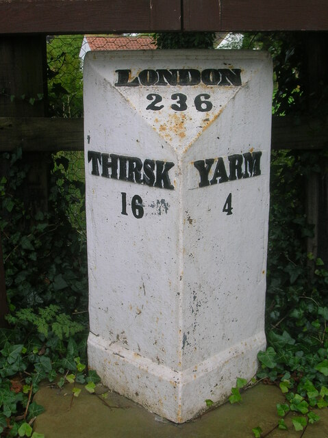
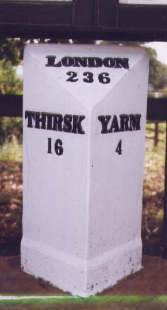
///loitering.tune.fashion. Near Yarm, Co. Durham

Related Wikis

Crathorne, North Yorkshire

Crathorne is a village and civil parish in North Yorkshire, England. The parish population was 172 at the 2011 census. The River Leven flows through the...

Picton railway station (England)

Picton railway station was a railway station serving the village of Picton in North Yorkshire, England. Located on the Northallerton to Eaglescliffe Line...

Kirklevington

Kirklevington (also known as Kirk Leavington) is a village in the borough of Stockton-on-Tees, North Yorkshire, England. At the 2011 census, the village...

Picton, North Yorkshire

Picton is a hamlet and civil parish located in the north of North Yorkshire, England. It is situated approximately 4 miles (6 km) south from Yarm, 8 miles...

Trenholme Bar railway station

Trenholme Bar railway station was a railway station built to serve the hamlet of Trenholme Bar in North Yorkshire, England. The station was on the North...

Rudby

Rudby is a village and civil parish, 4 miles (6.4 km) from the market town of Stokesley in the Hambleton District of North Yorkshire, England. == Geography... ==

Hutton Rudby

Hutton Rudby is a village and civil parish situated 4 miles (6.4 km) west of the market town of Stokesley in the Hambleton District, North Yorkshire, England...

Castlelevington

Castlelevington (or Castle Leavington) is a group of hamlets, former township and former civil parish. It is east of the River Leven and 2.5 miles (4 km...

Nearby Amenities

Located within 500m of 54.463436,-1.3181018
Crathorne
Place: village
Source: npe
Wikidata: Q5182663
Wikipedia: en:Crathorne, North Yorkshire
Lat/Long: 54.4607086/-1.3220136
Barrier: cattle_grid
Bicycle: yes
Foot: yes
Motorcar: yes
Motorcycle: yes
Lat/Long: 54.4659642/-1.3203399
Pub
Lat/Long: 54.4625339/-1.3213454
Post Office
Crathorne Post Office
Addr City: Yarm
Addr Postcode: TS15 0BA
Addr Suburb: Crathorne
Branch: Crathorne
Brand: Post Office
Brand Wikidata: Q1783168
Check Date: 2020-02-20
Contact Website: https://www.postoffice.co.uk/branch-finder/165327x/crathorne
Ref Pol Id: 4094
Lat/Long: 54.4607865/-1.3214236
Crathorne
Public Transport: stop_position
Lat/Long: 54.4625212/-1.3210415
Power: pole
Lat/Long: 54.4630226/-1.3230951
Power: pole
Lat/Long: 54.4637941/-1.3233785
Power: pole
Lat/Long: 54.4640299/-1.3257547
Power: pole
Lat/Long: 54.4642041/-1.3244486
Power: pole
Lat/Long: 54.4642694/-1.3235796
Power: pole
Lat/Long: 54.4643093/-1.3236033
Post Box
Post Box Type: wall
Lat/Long: 54.4608626/-1.3214462
Telephone
Booth: KX100
Covered: booth
Lat/Long: 54.4609289/-1.3214095
Generator Method: photovoltaic
Generator Output Electricity: yes
Generator Source: solar
Generator Type: solar_photovoltaic_panel
Power: generator
Lat/Long: 54.4621178/-1.3215617
Generator Method: photovoltaic
Generator Output Electricity: yes
Generator Source: solar
Generator Type: solar_photovoltaic_panel
Power: generator
Lat/Long: 54.4619719/-1.3217419
Bus Stop
Crathorne
Bus: yes
Naptan AtcoCode: 3200YNA90433
Naptan NaptanCode: 32090433
Public Transport: platform
Lat/Long: 54.4625324/-1.3211586
Generator Method: photovoltaic
Generator Output Electricity: yes
Generator Source: solar
Generator Type: solar_photovoltaic_panel
Power: generator
Lat/Long: 54.4610411/-1.3216636
Bus: yes
Public Transport: stop_position
Lat/Long: 54.4607588/-1.3191897
Bus Stop
Bus: yes
Naptan AtcoCode: 3200YNA90431
Naptan NaptanCode: 32090431
Public Transport: platform
Lat/Long: 54.4607197/-1.3191526
Entrance: yes
Lat/Long: 54.460826/-1.3194601
Bus Stop
Bus: yes
Naptan AtcoCode: 3200YNA90432
Naptan NaptanCode: 32090432
Public Transport: platform
Lat/Long: 54.4606779/-1.3194988
Waste Basket
Lat/Long: 54.4606726/-1.319513
The data included in this document is from www.openstreetmap.org. The data is made available under ODbL.

Have you been to David Wood?

Leave your review of David Wood below (or comments, questions and feedback).