Greatbottom Wood

Wood, Forest in Berkshire Vale of White Horse

England

Greatbottom Wood

Tree Lined Way Tree lined way (Designated traffic free cycle route) to East Ginge
Tree Lined Way Credit: Shaun Ferguson

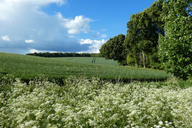
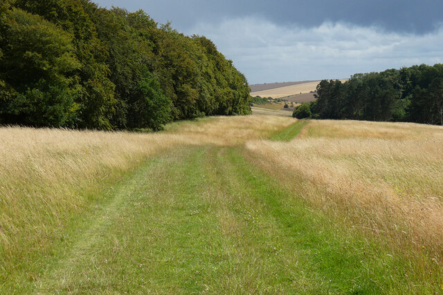
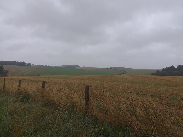
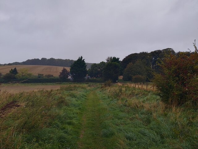
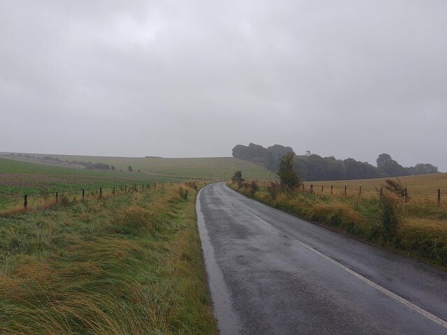
Greatbottom Wood is a charming woodland area located in Berkshire, England. Covering a vast area of approximately 300 acres, it is an enchanting destination for nature lovers and outdoor enthusiasts alike. The wood is nestled in the picturesque countryside, offering a tranquil and serene environment for visitors to explore and enjoy.

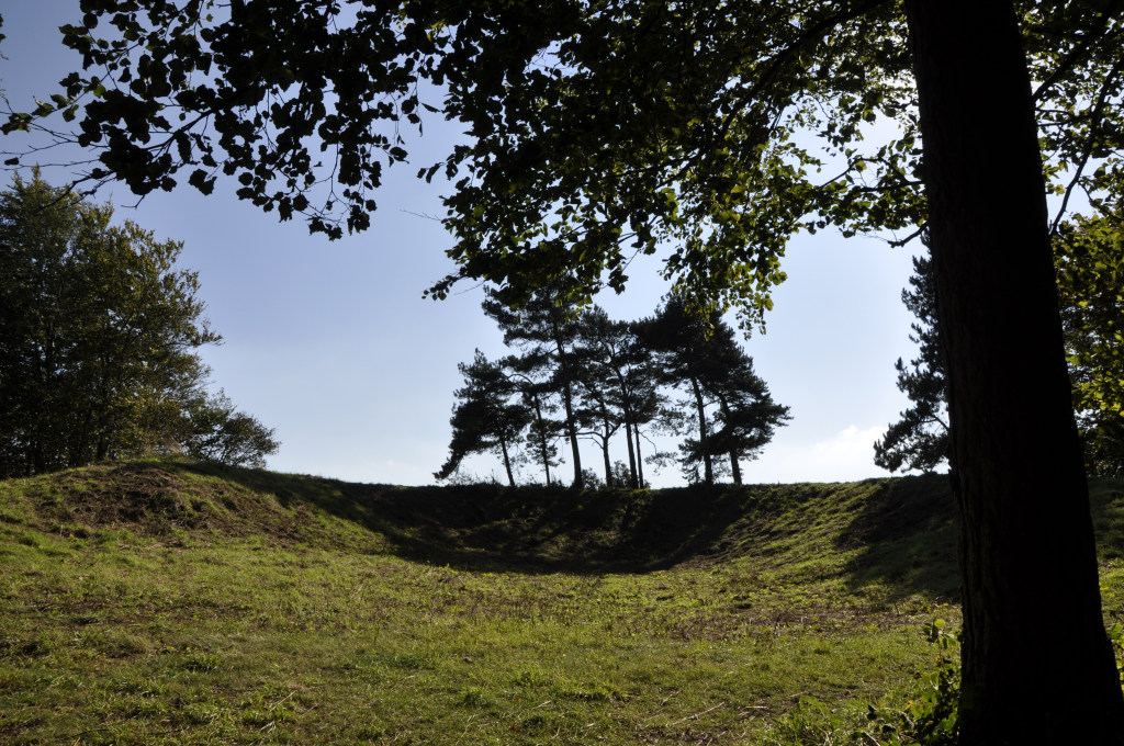
The wood boasts a diverse range of tree species, including oak, beech, and birch, creating a rich tapestry of colors throughout the year. The towering trees provide a dense canopy, allowing only dappled sunlight to filter through, adding to the ethereal ambiance of the woodland.

Greatbottom Wood is home to a variety of wildlife, making it an ideal spot for birdwatchers and nature photographers. Visitors may catch glimpses of native species such as woodpeckers, deer, badgers, and foxes, as they go about their daily activities undisturbed in their natural habitat.

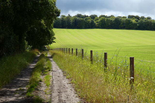
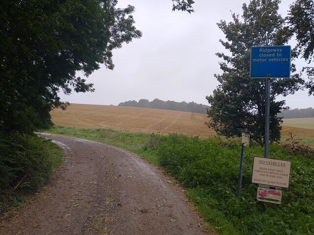
A network of well-maintained footpaths crisscrosses the wood, offering visitors the opportunity to explore its hidden treasures. Hikers and walkers can immerse themselves in the beauty of nature, discovering hidden glades, babbling brooks, and stunning viewpoints along the way.

Throughout the year, Greatbottom Wood hosts several events and activities for the public, including guided walks, educational programs, and nature workshops. These opportunities allow visitors to learn more about the woodland's history, ecology, and conservation efforts.

Greatbottom Wood in Berkshire is a true natural gem, offering a haven for flora and fauna, as well as a peaceful escape for those seeking solace in the beauty of the outdoors.

If you have any feedback on the listing, please let us know in the comments section below.

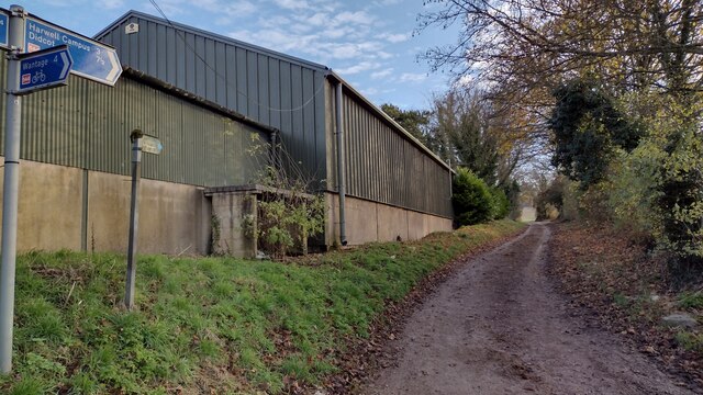
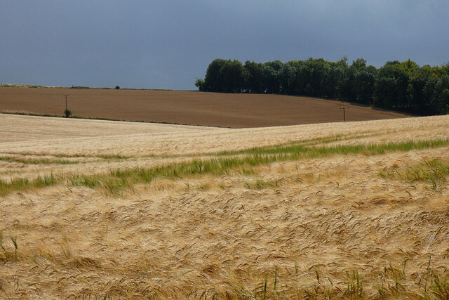
Greatbottom Wood Images

Images are sourced within 2km of 51.563396/-1.3624127 or Grid Reference SU4485. Thanks to Geograph Open Source API. All images are credited.

Tree Lined Way Tree lined way (Designated traffic free cycle route) to East Ginge
Tree Lined Way
Tree lined way (Designated traffic free cycle route) to East Ginge
Route 544 to Harwell Campus National Cycle Network Route 544 to Harwell Campus for a short stretch on the bridleway to The Ridgeway
Route 544 to Harwell Campus
National Cycle Network Route 544 to Harwell Campus for a short stretch on the bridleway to The Ridgeway
Bridleway heading to Ardington Bridleway between the fields heading to Ardington
Bridleway heading to Ardington
Bridleway between the fields heading to Ardington
Farmland, Ardington
Farmland, Ardington
Farmland, Ardington Spring barley beside the bridleway at Down Barn.
Farmland, Ardington
Spring barley beside the bridleway at Down Barn.
Farmland and woodland, Ardington Spring barley beside the bridleway descending from the Ridgeway to Betterton.
Farmland and woodland, Ardington
Spring barley beside the bridleway descending from the Ridgeway to Betterton.
Track, woods and farmland, Ardington Birch Wood and a cut silage field are to the left of the bridleway descending to Betterton from the Ridgeway.
Track, woods and farmland, Ardington
Birch Wood and a cut silage field are to the left of the bridleway descending to Betterton from the Ridgeway.
Track and farmland, Lockinge Cut silage and the footpath climbing to the Ridgeway from Chalkhill Barn.
Track and farmland, Lockinge
Cut silage and the footpath climbing to the Ridgeway from Chalkhill Barn.
Woods and grassland, Ardington The restricted byway on Wether Down descending from the Ridgeway to Land's End.
Woods and grassland, Ardington
The restricted byway on Wether Down descending from the Ridgeway to Land's End.
Oxfordshire from Berkshire The hill in the distance is in Oxfordshire, the field in the foreground is in Berkshire.
Oxfordshire from Berkshire
The hill in the distance is in Oxfordshire, the field in the foreground is in Berkshire.
Old Street A restricted byway between Catmore Road and Copperage Road. The house behind the trees is Lands End.
Old Street
A restricted byway between Catmore Road and Copperage Road. The house behind the trees is Lands End.
Old Street A restricted byway between Catmore Road and Copperage Road.
Old Street
A restricted byway between Catmore Road and Copperage Road.
Lands End, Farnborough Lands End or Lands End Cottage on Copperage Road near to Farnborough. It must be pretty close to being the northenmost house in West Berkshire: though that isn't much of a claim to fame.
Lands End, Farnborough
Lands End or Lands End Cottage on Copperage Road near to Farnborough. It must be pretty close to being the northenmost house in West Berkshire: though that isn't much of a claim to fame.
Old Street A restricted byway between Copperage Road and The Ridgeway. This spot is also the border between Berkshire and Oxfordshire.
Old Street
A restricted byway between Copperage Road and The Ridgeway. This spot is also the border between Berkshire and Oxfordshire.
Copperage Road Looking towards West Ilsley. The road follows the border between Berkshire and Oxfordshire here.
Copperage Road
Looking towards West Ilsley. The road follows the border between Berkshire and Oxfordshire here.
Byway towards Johnson's Farm A byway between Copperage Road and an entrance to Johnson's Farm.
Byway towards Johnson's Farm
A byway between Copperage Road and an entrance to Johnson's Farm.
Byway towards Johnson's Farm A byway between Copperage Road and an entrance to Johnson's Farm.
Byway towards Johnson's Farm
A byway between Copperage Road and an entrance to Johnson's Farm.
Restricted byway towards Cwichelmeshlaew A restricted byway between a byway near an entrance to Johnson's Farm and Cwichelmeshlaew (alternatively known as Scutchamer Knob, Cuckhamsley Hill, Scotsman's Knob, Beacon Hill or Cwichelm's Barrow): the location where King Edwin of Northumbria killed King Cwichelm of Wessex in 636.
Restricted byway towards Cwichelmeshlaew
A restricted byway between a byway near an entrance to Johnson's Farm and Cwichelmeshlaew (alternatively known as Scutchamer Knob, Cuckhamsley Hill, Scotsman's Knob, Beacon Hill or Cwichelm's Barrow): the location where King Edwin of Northumbria killed King Cwichelm of Wessex in 636.
Show me another place!

Greatbottom Wood is located at Grid Ref: SU4485 (Lat: 51.563396, Lng: -1.3624127)

Administrative County: Oxfordshire

District: Vale of White Horse

Police Authority: Thames Valley

What 3 Words

///skimmers.removes.reverted. Near Farnborough, Berkshire

Related Wikis

The Ridgeway

The Ridgeway is a ridgeway or ancient trackway described as Britain's oldest road. The section clearly identified as an ancient trackway extends from Wiltshire...

Scutchamer Knob

Scutchamer Knob, also known as Cuckhamsley Hill and occasionally as Scotsman's Knob or Beacon Hill, is an early Iron Age round barrow on the Ridgeway National...

West Ginge

West Ginge is a hamlet within the civil parish of Ardington in the English county of Oxfordshire (formerly Berkshire), 3.9 miles (6.3 km) by road to the...

PLUTO reactor

PLUTO was a materials testing nuclear reactor housed at the Atomic Energy Research Establishment, a former Royal Air Force airfield at Harwell, Oxfordshire...

DIDO (nuclear reactor)

DIDO was a materials testing nuclear reactor at the Atomic Energy Research Establishment at Harwell, Oxfordshire in the United Kingdom. It used enriched...

East Lockinge

East Lockinge is a village and former civil parish, now in the parish of Lockinge, in the Vale of White Horse district, in the county of Oxfordshire, England...

KARMEN

KARMEN (KArlsruhe Rutherford Medium Energy Neutrino experiment), a detector associated with the ISIS synchrotron at the Rutherford Appleton Laboratory...

ENGIN-X

ENGIN-X is the dedicated materials engineering beamline at the ISIS Neutron and Muon Source in the UK. The beamline uses neutron diffraction to determine...

Have you been to Greatbottom Wood?

Leave your review of Greatbottom Wood below (or comments, questions and feedback).