Scotland Wood
Wood, Forest in Durham
England
Scotland Wood
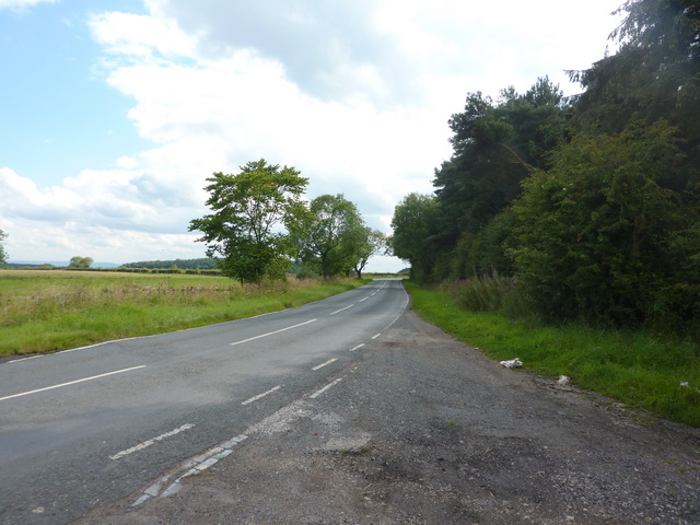
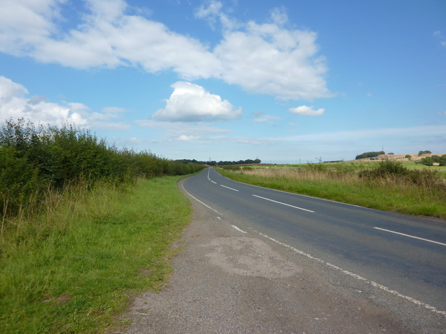
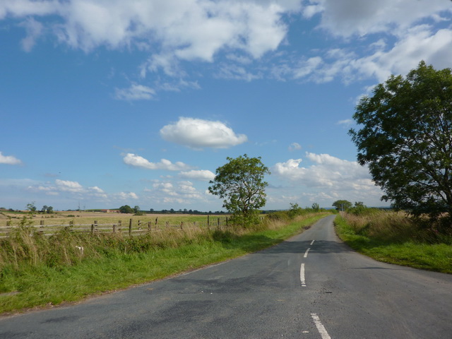
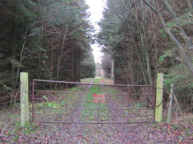
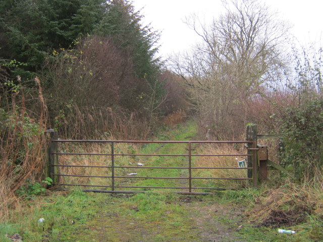
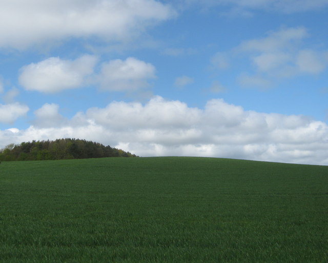
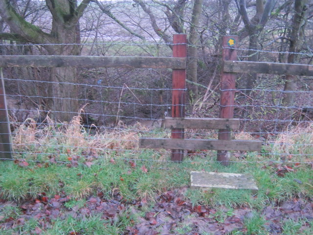
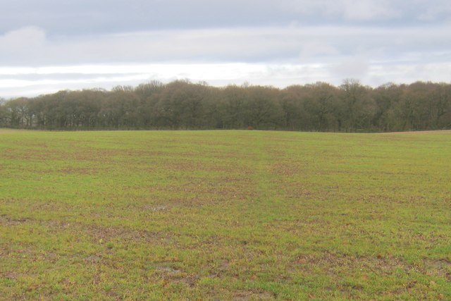
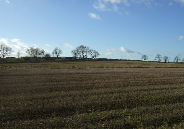
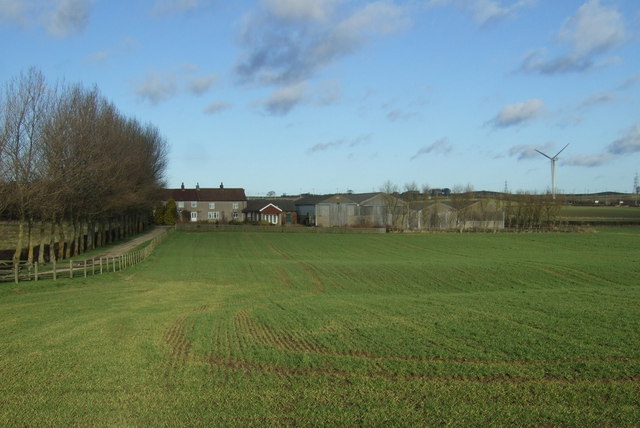
Scotland Wood is a small but significant woodland area located in Durham, England. Situated approximately 3 miles southwest of Durham city center, it covers an area of around 60 hectares (148 acres). The wood is part of the Durham Wildlife Trust's network of nature reserves and is a designated Site of Special Scientific Interest (SSSI).
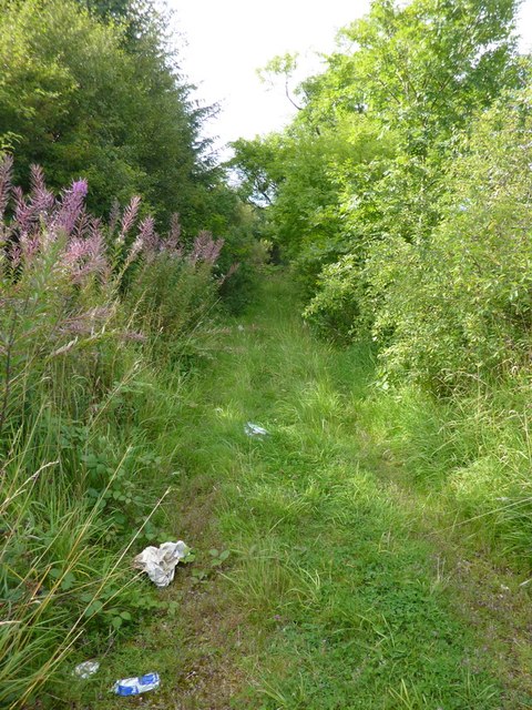
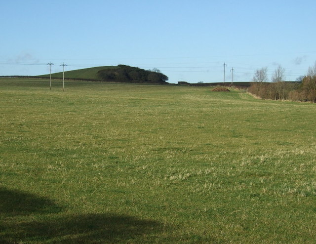
This ancient woodland is characterized by its diverse mix of trees, including oak, ash, beech, and silver birch. The wood is also home to a variety of flora and fauna, making it a haven for nature enthusiasts and wildlife lovers. Bluebells, wood anemones, and primroses create a stunning carpet of color in the spring, while birds such as woodpeckers, tawny owls, and various species of warblers can be spotted throughout the year.
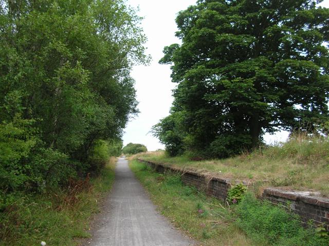
Scotland Wood offers several walking trails that wind through its enchanting landscape, providing visitors with the opportunity to explore its tranquil surroundings. The wood is also a popular destination for educational visits, as it offers a unique learning experience about the importance of conservation and natural habitats.
The wood's historical importance is evident in its name, which is believed to derive from the time when Scottish armies marched through this area during the English Civil War. Today, Scotland Wood serves as a testament to the region's rich natural and historical heritage, providing a peaceful retreat for locals and tourists alike.
If you have any feedback on the listing, please let us know in the comments section below.
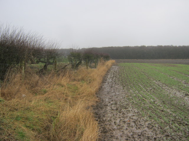
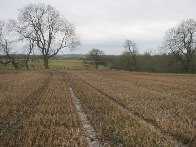
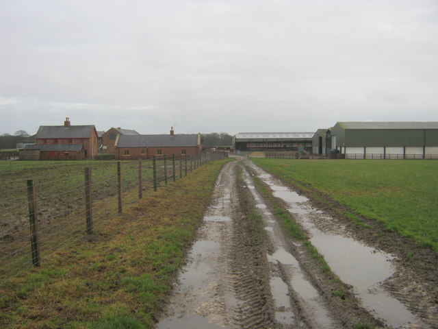
Scotland Wood Images
Images are sourced within 2km of 54.682837/-1.3329193 or Grid Reference NZ4332. Thanks to Geograph Open Source API. All images are credited.
Scotland Wood is located at Grid Ref: NZ4332 (Lat: 54.682837, Lng: -1.3329193)
Unitary Authority: County Durham
Police Authority: Durham
What 3 Words
///money.flattery.attic. Near Elwick, Co. Durham
Nearby Locations
Related Wikis

Pike Whin Bog
Pike Whin Bog is a Site of Special Scientific Interest in the Easington district of east County Durham, England. It is situated just east of Hurworth Burn...
Hurworth Burn railway station
Hurworth Burn railway station was a railway station on the Castle Eden branch of the North Eastern Railway (NER) from 1880 to 1931. It was located between...

Elwick, County Durham
Elwick is a village and civil parish in the borough of Hartlepool in County Durham, England. It is situated near the A19 road to the west of Hartlepool...

Embleton, County Durham
Embleton is a hamlet and former civil parish, now in the parish of Sedgefield, in the County Durham district, in the ceremonial county of Durham, in England...
Sheraton, County Durham
Sheraton is a village in County Durham in England. It is situated a few miles to the north-west of Hartlepool. The A19 road bisects the village. In medieval...

Dalton Piercy
Dalton Piercy is a village and civil parish in the borough of Hartlepool, County Durham, in England. The population of the civil parish taken at the 2011...
Hart Bog
Hart Bog (grid reference NZ452354) is a 1.79 hectare biological Site of Special Scientific Interest in County Durham, England notified in 1968. SSSIs are...

Hutton Henry
Hutton Henry is a village in the civil parish of Hutton Henry and Station Town, in County Durham, England, near Peterlee, Castle Eden and Wingate. The...
Related Videos

Milk Vending Machen!
In Elwick near Hartlepool there is a Milk Vending Machen that's absolutely fantastic. #milk #vendingmachine #hartlepool ...

Mt. Misery // The Dreaming Days Are Over (High Farm Live Session)
Live session of a brand new track called 'The Dreaming Days Are Over' recorded at our rehearsal room. Grab a copy of the limited ...
Nearby Amenities
Located within 500m of 54.682837,-1.3329193Have you been to Scotland Wood?
Leave your review of Scotland Wood below (or comments, questions and feedback).