Carriage Road Plantation
Wood, Forest in Yorkshire Hambleton
England
Carriage Road Plantation

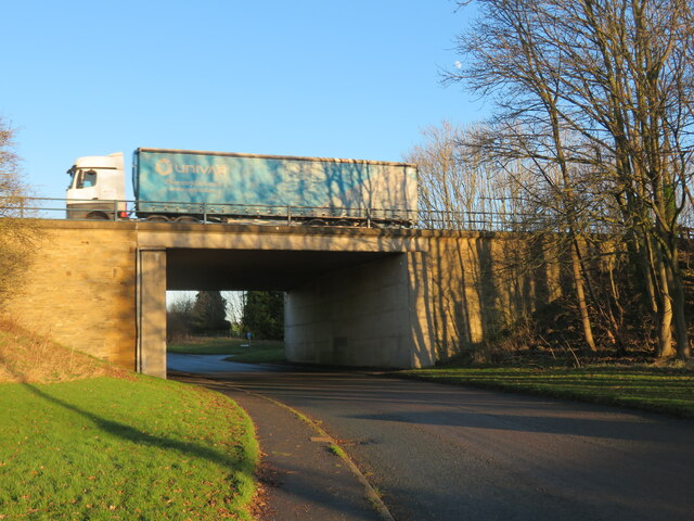
Carriage Road Plantation, located in Yorkshire, England, is a picturesque woodland area known for its natural beauty and diverse plant life. Spanning over a vast area, the plantation is renowned for its well-maintained carriage roads, which were historically used for transportation and are now popular among hikers and nature enthusiasts.
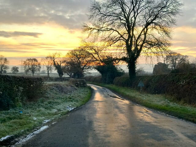
The woodland is primarily composed of various tree species, including oak, birch, and beech, which create a dense canopy overhead, providing shade and shelter for a rich variety of flora and fauna. The forest floor is covered in a lush carpet of ferns, mosses, and wildflowers, adding to the enchanting ambiance of the woodland.
Visitors to Carriage Road Plantation can enjoy a range of recreational activities, such as walking, cycling, and horseback riding. The well-defined carriage roads offer easy access to different parts of the woodland, allowing visitors to explore its natural wonders at their own pace. The plantation is also home to a network of trails that lead to hidden gems, including a tranquil stream and a small waterfall, further enhancing the appeal of the area.
Nature lovers flock to Carriage Road Plantation throughout the year to witness the changing seasons and the vibrant display of colors that accompanies them. In spring, the woodland comes alive with a burst of blossoms, while autumn transforms the plantation into a tapestry of golden hues.
Carriage Road Plantation, Yorkshire, is a haven for those seeking tranquility and a connection with nature. Its well-maintained trails, diverse plant life, and captivating scenery make it a cherished destination for both locals and tourists alike.
If you have any feedback on the listing, please let us know in the comments section below.
Carriage Road Plantation Images
Images are sourced within 2km of 54.26686/-1.3396509 or Grid Reference SE4385. Thanks to Geograph Open Source API. All images are credited.


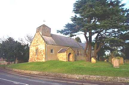
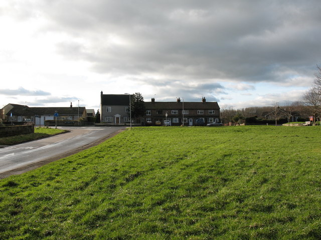
![St Wilfred's, South Kilvington Easily dismissed as just another Victorian village church, St Wilfred's is mostly medieval with [according to Pevsner] a Norman window in the south wall, which must be the tiny round headed window just to the right of the tree trunk. The other windows on this side appear to be 13thC.](https://s0.geograph.org.uk/geophotos/07/06/93/7069380_db486d02.jpg)


Carriage Road Plantation is located at Grid Ref: SE4385 (Lat: 54.26686, Lng: -1.3396509)
Division: North Riding
Administrative County: North Yorkshire
District: Hambleton
Police Authority: North Yorkshire
What 3 Words
///youths.corrupted.refuse. Near Thirsk, North Yorkshire
Nearby Locations
Related Wikis
North Kilvington
North Kilvington is a hamlet and civil parish in North Yorkshire, England. It is situated just off the A19, about two miles north of Thirsk. In the 2001...
Thornbrough
Thornbrough is a civil parish in the Hambleton District of North Yorkshire, England. The population of the civil parish was estimated at 20 in 2014....
Thornton-le-Street
Thornton-le-Street is a village and parochial and civil parish in the Hambleton District of North Yorkshire, England. It is part of the civil parish of...
South Kilvington
South Kilvington is a village and civil parish in the Hambleton district of North Yorkshire, England. It is situated just off the A19, about one mile north...

Knayton with Brawith
Knayton with Brawith is a civil parish in the Hambleton district of North Yorkshire, England. The parish includes the village of Knayton and the hamlet...
Knayton
Knayton is a small village in North Yorkshire, England. It is located north of Thirsk just off the A19. It is linked with the hamlet of Brawith, approximately...

Brawith
Brawith is a hamlet in the Hambleton District of North Yorkshire, England. It forms part of the civil parish of Knayton with Brawith.

Upsall
Upsall is a hamlet in and civil parish in the Hambleton district of North Yorkshire, England. It is situated approximately four miles north-east of Thirsk...
Nearby Amenities
Located within 500m of 54.26686,-1.3396509Have you been to Carriage Road Plantation?
Leave your review of Carriage Road Plantation below (or comments, questions and feedback).