The Belt
Wood, Forest in Warwickshire Stratford-on-Avon
England
The Belt
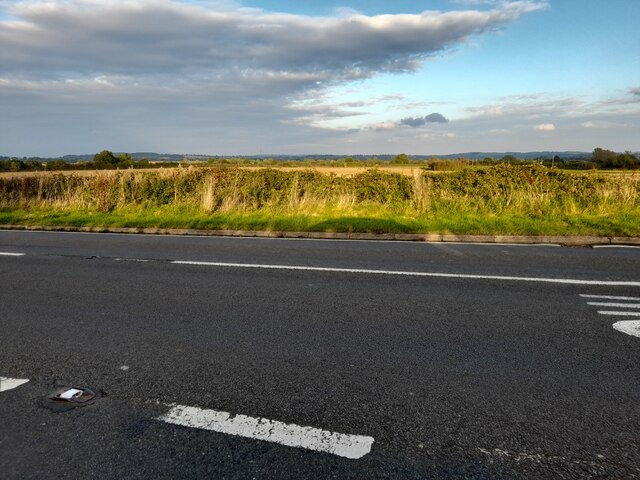
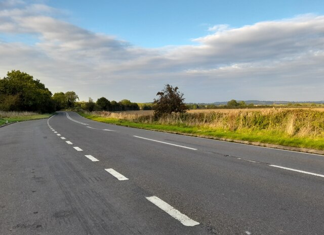
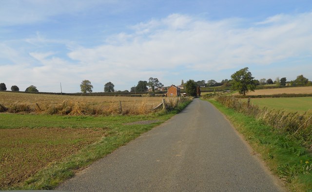
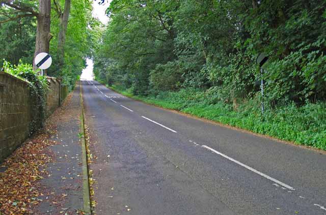
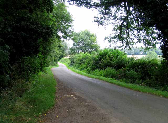
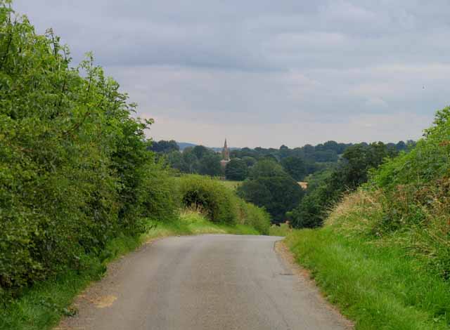
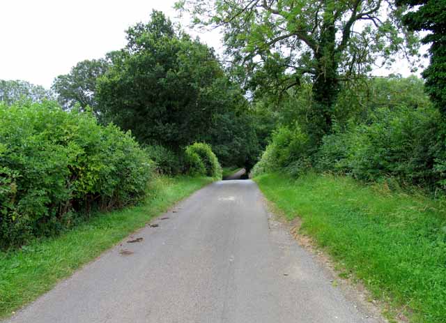
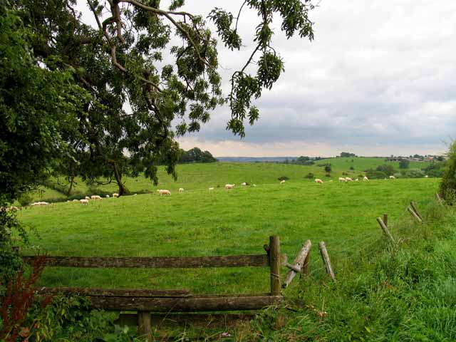
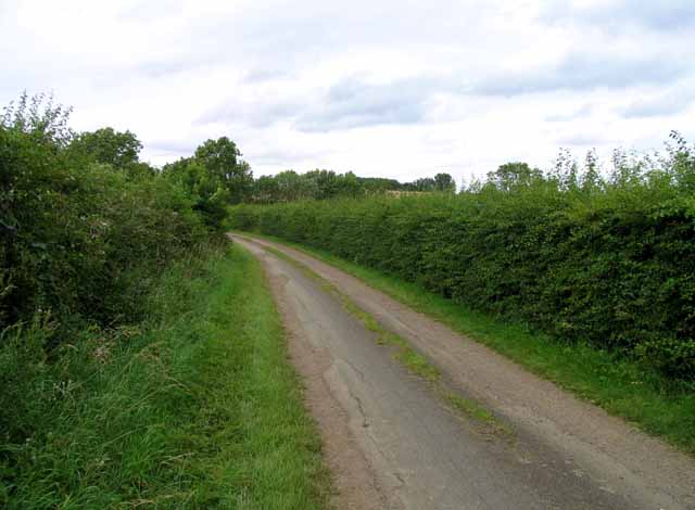
The Belt, Warwickshire, also known as Wood or Forest, is a picturesque area located in the heart of Warwickshire County, England. It is a designated site of special scientific interest (SSSI) due to its rich and diverse ecosystem. The Belt covers an area of approximately 100 acres and is dominated by a dense canopy of deciduous trees, including oak, ash, and beech.
This woodland area is a haven for wildlife enthusiasts and nature lovers. It provides a home to a wide range of flora and fauna, including rare and endangered species such as the lesser spotted woodpecker and the silver-washed fritillary butterfly. The forest floor is adorned with a variety of wildflowers, adding bursts of color to the landscape throughout the year.
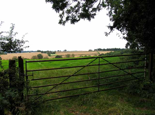
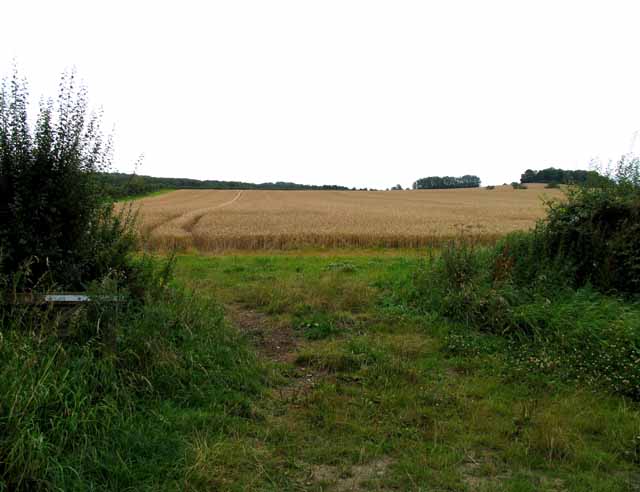
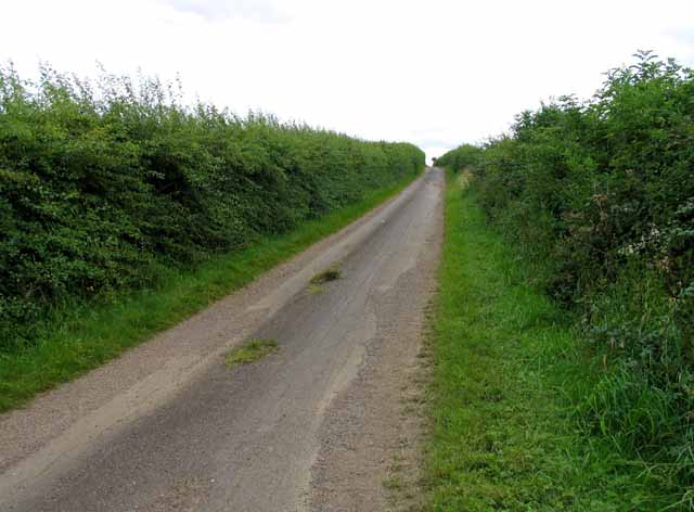
Visitors to The Belt can enjoy scenic walks along well-maintained trails that wind their way through the woodland. These paths offer stunning views of the surrounding countryside, with glimpses of nearby meadows and gently rolling hills. The peaceful atmosphere and natural beauty of The Belt make it a popular destination for those seeking tranquility and a connection with nature.
The Belt is also an important site for ecological research and conservation efforts. Environmental organizations and researchers conduct regular surveys and studies to monitor the health and biodiversity of the woodland. They also work tirelessly to protect and preserve this valuable natural resource for future generations.
In conclusion, The Belt, Warwickshire is a captivating woodland area that offers a serene escape from the hustle and bustle of modern life. Its lush vegetation, diverse wildlife, and stunning vistas make it a must-visit destination for anyone seeking a truly immersive natural experience.
If you have any feedback on the listing, please let us know in the comments section below.
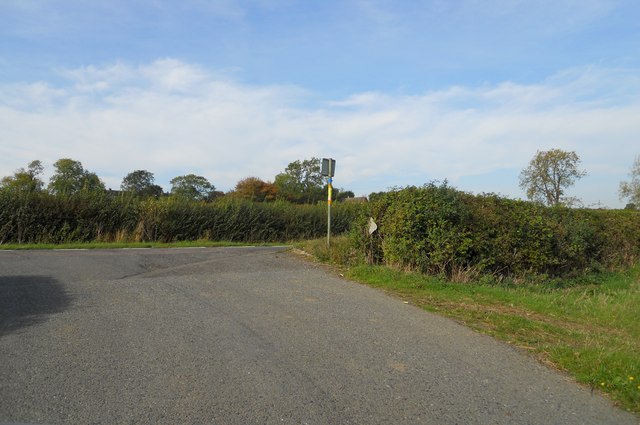
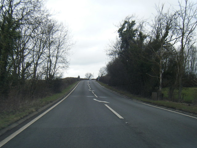
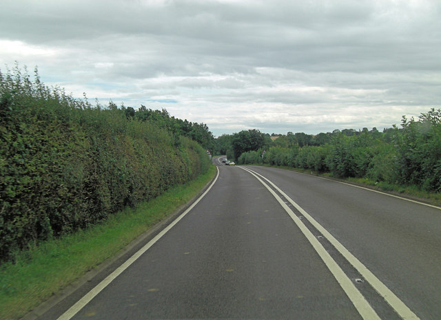
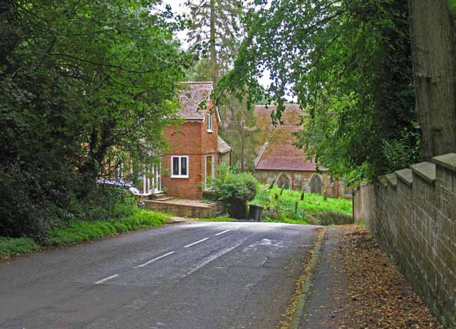
The Belt Images
Images are sourced within 2km of 52.142178/-1.3794345 or Grid Reference SP4249. Thanks to Geograph Open Source API. All images are credited.

The Belt is located at Grid Ref: SP4249 (Lat: 52.142178, Lng: -1.3794345)
Administrative County: Warwickshire
District: Stratford-on-Avon
Police Authority: Warwickshire
What 3 Words
///beaters.disbanded.dupe. Near Farnborough, Warwickshire
Nearby Locations
Related Wikis
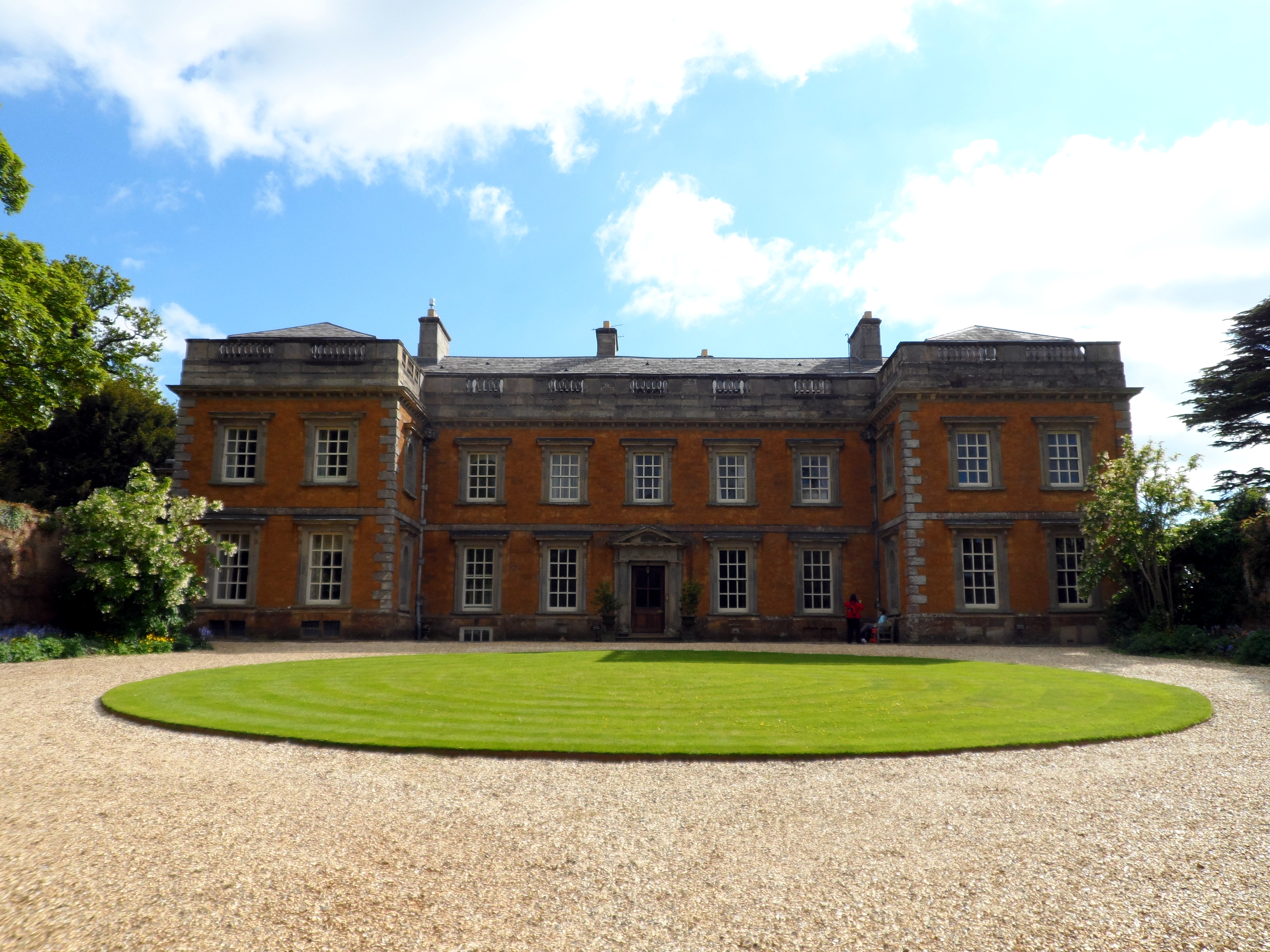
Farnborough Hall
Farnborough Hall is a country house in Warwickshire, England near to the town of Banbury, (grid reference SP4349). Owned by the National Trust, but administered...
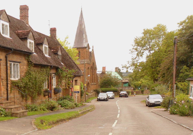
Farnborough, Warwickshire
Farnborough is a village and civil parish in the Stratford-on-Avon district of Warwickshire, England. It is located on the border with Oxfordshire, around...

Farnborough Rural District
Farnborough was a rural district in Warwickshire, England from 1894 to 1932. It was formed from that part of the Banbury rural sanitary district which...
Avon Dassett
Avon Dassett is a village and civil parish in the Stratford district of Warwickshire, England, nestling among the Burton Dassett Hills about four miles...

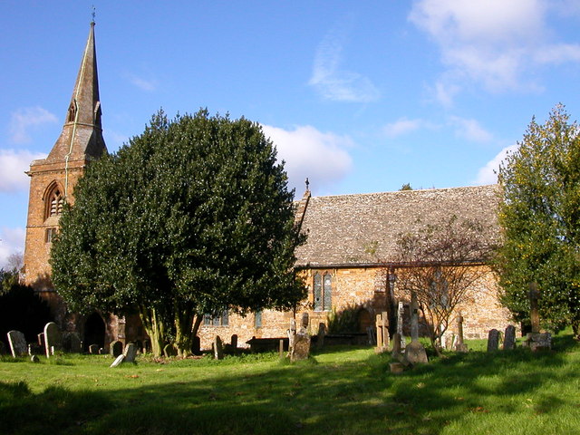
St John the Baptist's Church, Avon Dassett
St John the Baptist's Church is a redundant Anglican church in the village of Avon Dassett, Warwickshire, England. It is recorded in the National Heritage...
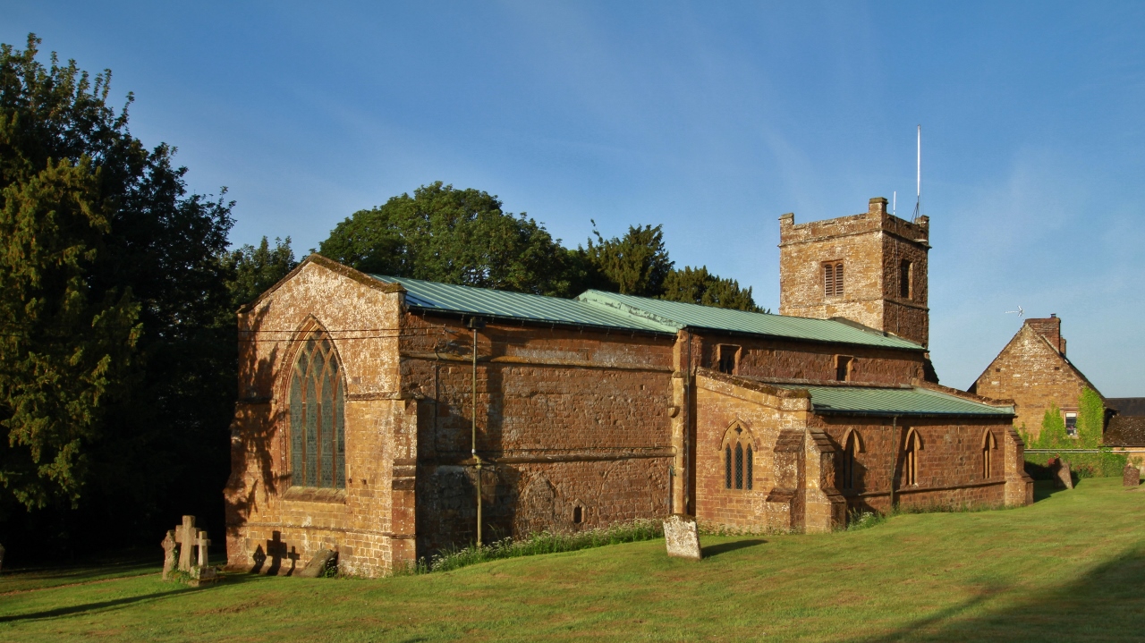
Warmington, Warwickshire
Warmington is a village and civil parish in the Stratford-on-Avon district of Warwickshire, England. It is located on the border with Oxfordshire, around...
Mollington, Oxfordshire
Mollington is a village and civil parish about 4 miles (6.4 km) north of Banbury in Oxfordshire, England. The 2011 Census recorded the parish's population...
National Herb Centre
The National Herb Centre is a herbarium and garden centre located in Warmington, Warwickshire, England. The centre was opened in 1997 by Peter Turner...
Nearby Amenities
Located within 500m of 52.142178,-1.3794345Have you been to The Belt?
Leave your review of The Belt below (or comments, questions and feedback).