Doulting

Settlement in Somerset Mendip

England

Doulting

Doulting cross
Doulting cross Credit: thejackrustles

Doulting is a small village located in the county of Somerset, England. Situated approximately 15 miles south of the city of Bath and 20 miles southeast of Bristol, Doulting is nestled within the Mendip Hills, offering picturesque views of the surrounding countryside.

The village is steeped in history and has a population of around 500 residents. It is known for its historic buildings, including the Grade I listed Doulting Church, which dates back to the 13th century. The church features a striking tower and is a prominent landmark in the area.

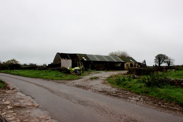
Doulting is also renowned for its limestone quarries, which have been in operation for centuries. The local limestone has been used in the construction of many significant buildings across the country, including Glastonbury Abbey and Wells Cathedral.

The village offers a peaceful and rural atmosphere, with quaint cottages and traditional houses lining its streets. It has a close-knit community and a strong sense of local pride. The village pub, The Doulting Stone, is a popular gathering spot for residents and visitors alike, serving traditional British cuisine and a selection of local ales.

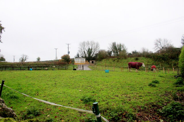
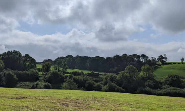
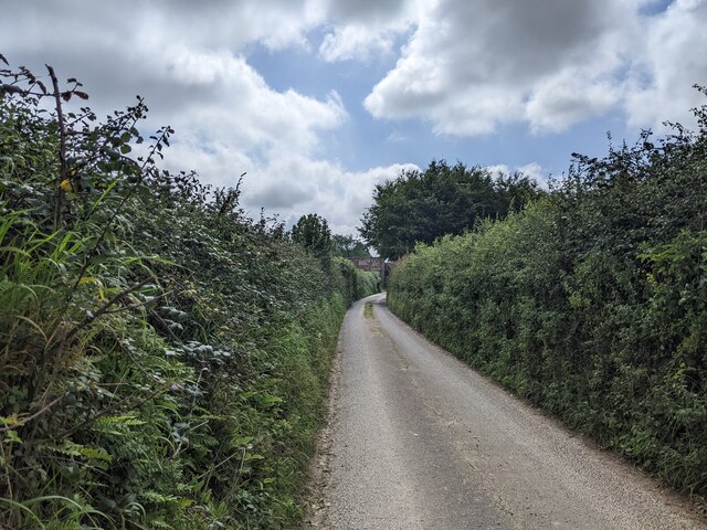
Surrounded by rolling hills and countryside, Doulting is a haven for outdoor enthusiasts. The Mendip Hills provide ample opportunities for hiking, cycling, and horse riding, with various trails and paths to explore.

Overall, Doulting is a charming and historic village, offering a tranquil and picturesque setting for both residents and visitors to enjoy.

If you have any feedback on the listing, please let us know in the comments section below.

Doulting Images

Images are sourced within 2km of 51.187692/-2.504229 or Grid Reference ST6443. Thanks to Geograph Open Source API. All images are credited.

Doulting cross
Doulting cross
Lane Doulting
Lane Doulting
OS Cut Mark - Doulting, St Aldhelm's Church <span class="nowrap"><a title="https://www.bench-marks.org.uk/bm59804" rel="nofollow ugc noopener" href="https://www.bench-marks.org.uk/bm59804">Link</a><img style="margin-left:2px;" alt="External link" title="External link - shift click to open in new window" src="https://s1.geograph.org.uk/img/external.png" width="10" height="10"/></span>
OS Cut Mark - Doulting, St Aldhelm's Church
Section of St Aldhelm's Church, Doulting
Houses on Church Lane Doulting At the far end of the house on the right is a small structure housing an old hand pump which was the supply of fresh water for the village . A bit further away is St Aldhelms well which is a much larger spring and the source of the River Sheppey.
Houses on Church Lane Doulting
At the far end of the house on the right is a small structure housing an old hand pump which was the supply of fresh water for the village . A bit further away is St Aldhelms well which is a much larger spring and the source of the River Sheppey.
Old Water Pump in Doulting  The pump handle of this pump is now locked. It has an undated brass plate in memory of Scot Pike.
Old Water Pump in Doulting
The pump handle of this pump is now locked. It has an undated brass plate in memory of Scot Pike.
Water Pump in Doulting (detail) This shows the Brass memorial plate in memory of Scot Pike
Water Pump in Doulting (detail)
This shows the Brass memorial plate in memory of Scot Pike
Horse Paddock on Bodden Lane A small paddock on the edge of this tiny hamlet with a pair of windswept ponies.
Horse Paddock on Bodden Lane
A small paddock on the edge of this tiny hamlet with a pair of windswept ponies.
Bodden Lane Bodden Lane runs south from the small hamlet of Boddeen downhill to the town of Shepton Mallet
Bodden Lane
Bodden Lane runs south from the small hamlet of Boddeen downhill to the town of Shepton Mallet
Farm Buildings at Higher Farm Higher Farm is the most northerly of the farms located at the hamlet of Bodden just north east of Shepton Mallet.
Farm Buildings at Higher Farm
Higher Farm is the most northerly of the farms located at the hamlet of Bodden just north east of Shepton Mallet.
Old Milestone by A361, West of Cranmore, near quarry entrance The Milestone is located in the hedge beside the South side of the road.  Parish of Cranmore (Mendip District). Cast iron post, plated iron casting design, erected by the Shepton Mallet turnpike trust in the 19th Century, has been broken and welded back together (on back of top "BUCI") and repositioned. An earlier photograph can be found here: <a title="https://www.geograph.org.uk/photo/5324456" href="https://www.geograph.org.uk/photo/5324456">Link</a> 

Inscription reads:- 
SHEPTON / MALLET / 3 : : FROME / 9 : : LONDON / 112  

Milestone Society National ID: SO_SMFR03
Old Milestone by A361, West of Cranmore, near quarry entrance
The Milestone is located in the hedge beside the South side of the road.  Parish of Cranmore (Mendip District). Cast iron post, plated iron casting design, erected by the Shepton Mallet turnpike trust in the 19th Century, has been broken and welded back together (on back of top "BUCI") and repositioned. An earlier photograph can be found here: Link  Inscription reads:- SHEPTON / MALLET / 3 : : FROME / 9 : : LONDON / 112 Milestone Society National ID: SO_SMFR03
Junction on the A361 on the east side of Shepton Mallett, looking west
The A361 heading east
Steam engine in the distance near Doulting
Houses in Doulting
Houses in Doulting
King's Road looking north
Farrington Lane, looking south
Ball Lane, not suitable for lorries
Show me another place!

Doulting is located at Grid Ref: ST6443 (Lat: 51.187692, Lng: -2.504229)

Administrative County: Somerset

District: Mendip

Police Authority: Avon and Somerset

What 3 Words

///pencils.hobble.rivals. Near Shepton Mallet, Somerset

Related Wikis

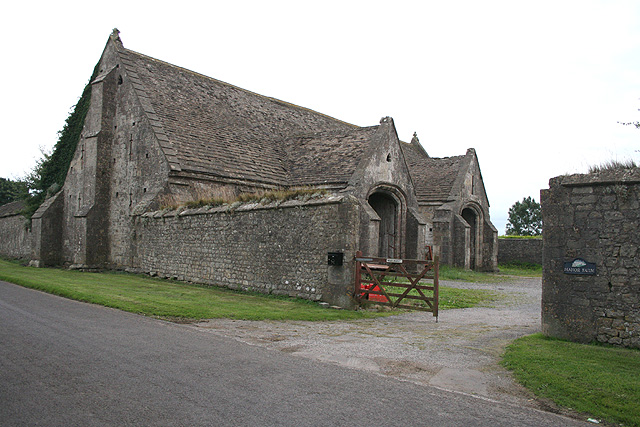
Tithe Barn, Manor Farm, Doulting

The Tithe Barn at Manor Farm (also known as Abbey Barn) in Doulting, Somerset, England, was built in the 15th century, and has been designated as a Grade...

Doulting

Doulting is a village and civil parish 1.5 miles (2 km) east of Shepton Mallet, on the A361, in the Mendip district of Somerset, England. == History... ==

Doulting Stone Quarry

Doulting Stone Quarry (grid reference ST648436) is a limestone quarry at Doulting, on the Mendip Hills, Somerset, England. At present there are only three...

St Aldhelm's Well

St Aldhelm's Well in Doulting, Somerset, England, is an ancient spring which is the source of the River Sheppey. The site is a Grade II listed building...

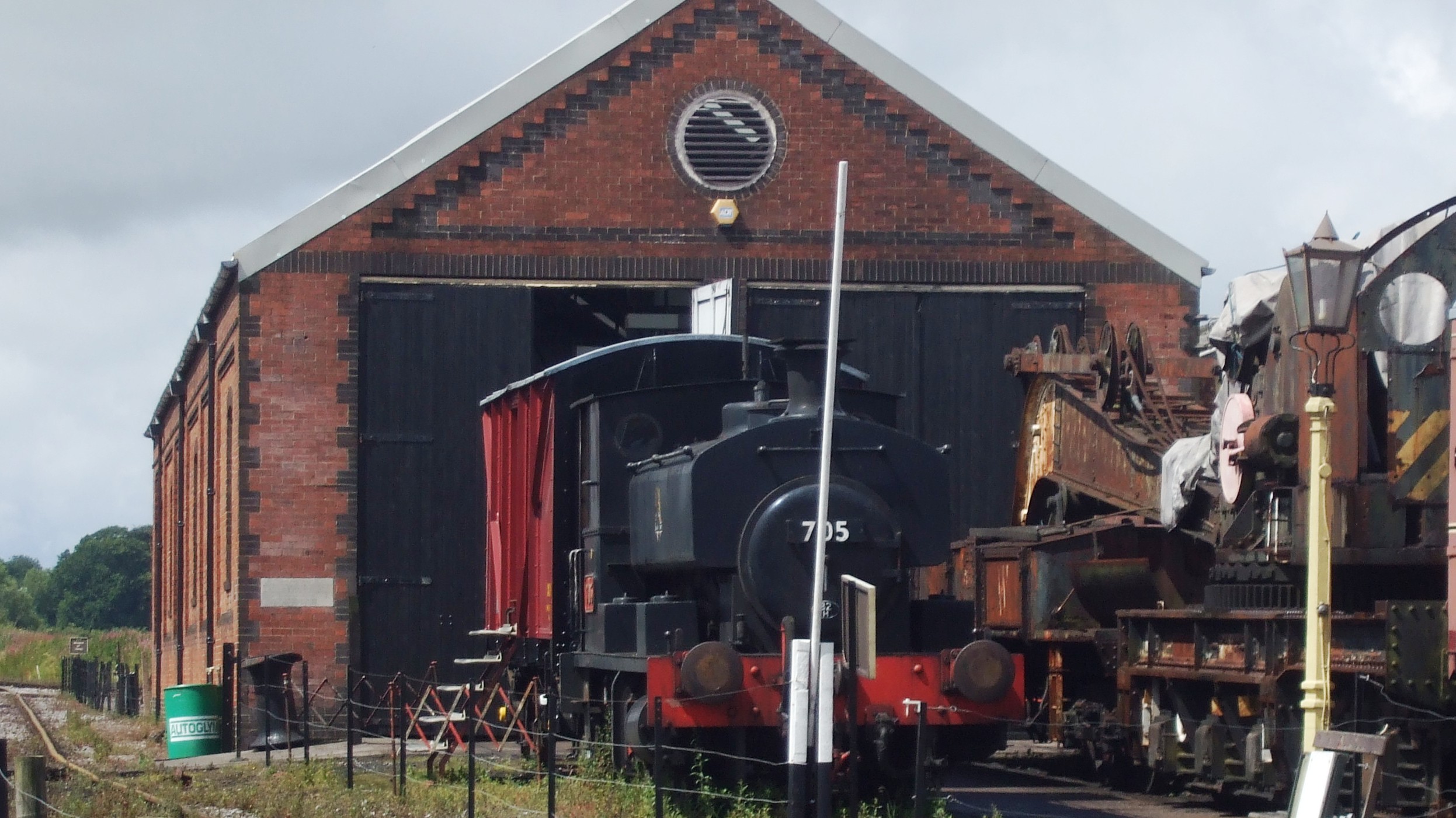
Merryfield Lane railway station

Merryfield Lane Halt is a railway station at the summit of the East Somerset Railway. It was built in 1981 and originally served as the terminus of the...

Doulting Railway Cutting

Doulting Railway Cutting (grid reference ST648424) is a 2.8 hectare geological Site of Special Scientific Interest in Somerset, notified in 1971. The cutting...

Mendip Vale railway station

Mendip Vale is the western terminus of the East Somerset Railway. == Services == All trains terminate at Mendip Vale, with a 5-10 minute wait while the...

Cranmore West railway station

Cranmore West is a disused railway station on the East Somerset Railway. == Services == Services ceased calling at the beginning of the 2022 season, pending...

Nearby Amenities

Located within 500m of 51.187692,-2.504229
Doulting
Is In: Somerset, England, UK
Place: village
Source: npe
Lat/Long: 51.1871373/-2.5061379
Post Box
Operator: Royal Mail
Post Box Type: lamp
Lat/Long: 51.1867928/-2.5061669
Give Way
Direction: forward
Lat/Long: 51.1867542/-2.5059463
Give Way
Direction: forward
Lat/Long: 51.1868168/-2.5060201
Defibrillator
Access: yes
Booth: K6
Covered: booth
Defibrillator Location: inside old red phone box in Doulting
Disused Amenity: telephone
Emergency: defibrillator
Man Made: telephone_box
Lat/Long: 51.1878507/-2.5043098
Bench
Lat/Long: 51.1878121/-2.5043098
Bus Stop
Church Lane
Bus: yes
Naptan AtcoCode: 3600SOB21684
Naptan Bearing: E
Naptan CommonName: Church Lane
Naptan Indicator: E-bound
Naptan NaptanCode: sotdjapm
Naptan Street: Church Lane
Naptan Verified: no
Public Transport: platform
Lat/Long: 51.1867696/-2.5060939
Bus Stop
Abbey Barn Inn
Bus: yes
Naptan AtcoCode: 3600SOB21683
Naptan Bearing: N
Naptan CommonName: Abby Barn Inn
Naptan Indicator: N-bound
Naptan NaptanCode: sotdjapt
Naptan Street: Farm Road
Naptan Verified: no
Public Transport: platform
Lat/Long: 51.186627/-2.5060558
The data included in this document is from www.openstreetmap.org. The data is made available under ODbL.

Have you been to Doulting?

Leave your review of Doulting below (or comments, questions and feedback).