Douglastown

Settlement in Angus

Scotland

Douglastown

New house, Easter Ingliston
New house, Easter Ingliston Credit: Alex McGregor

The requested URL returned error: 429 Too Many Requests

If you have any feedback on the listing, please let us know in the comments section below.
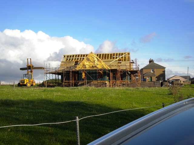
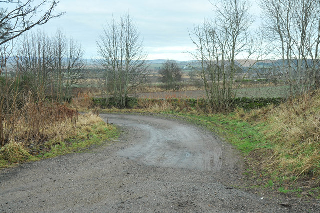
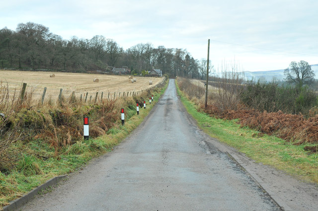
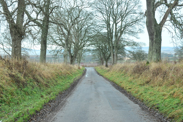
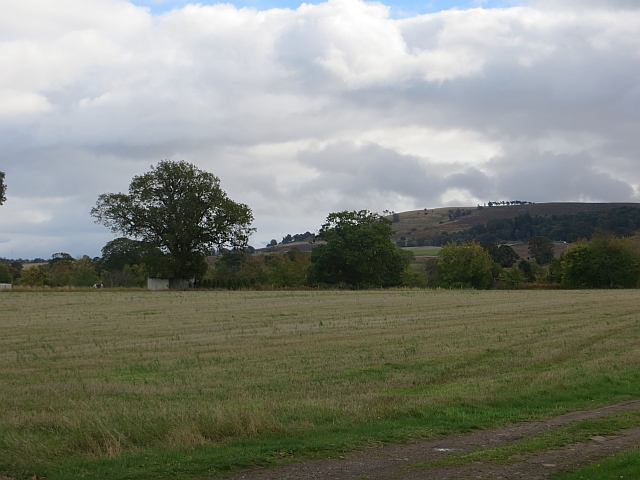
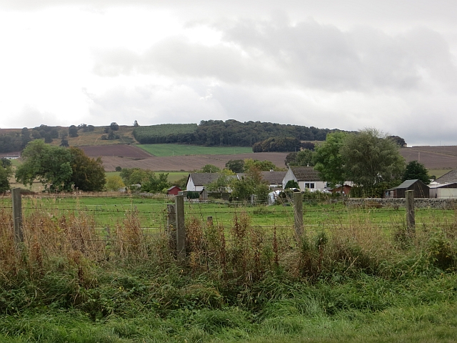
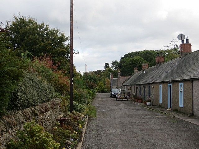
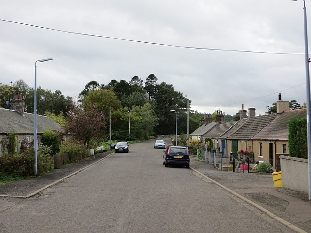
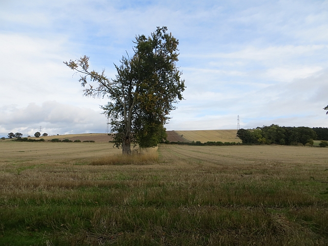
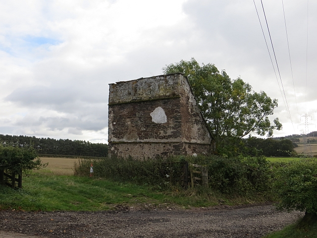
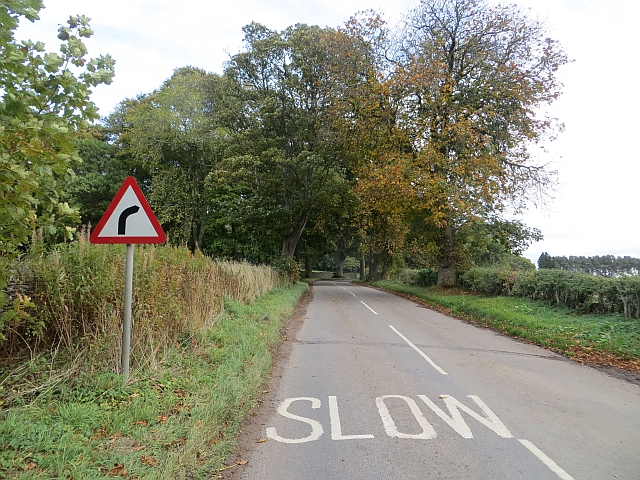
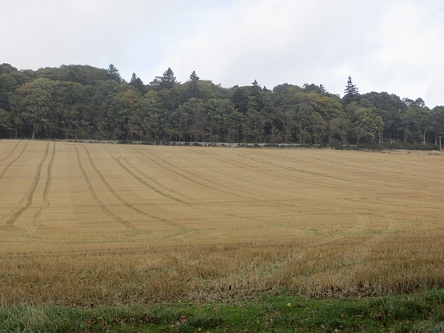
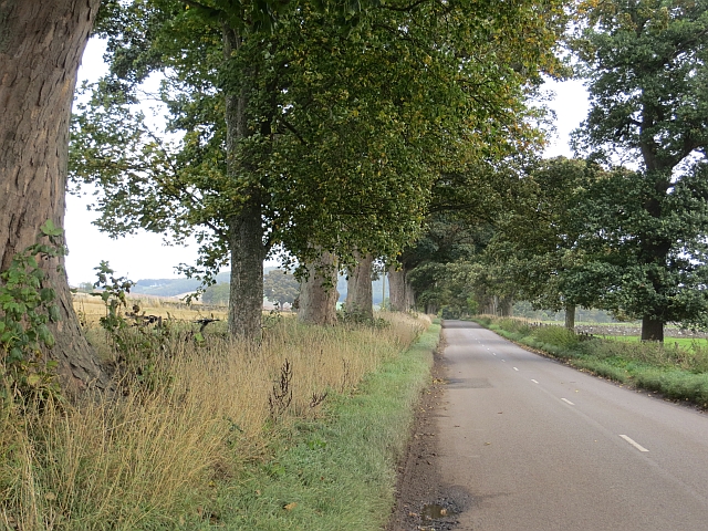
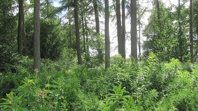
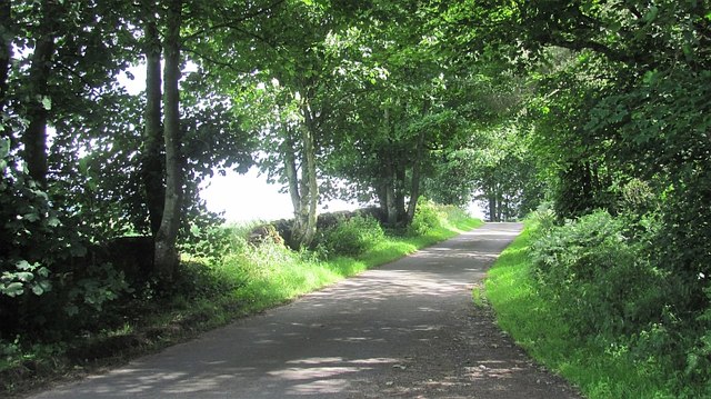
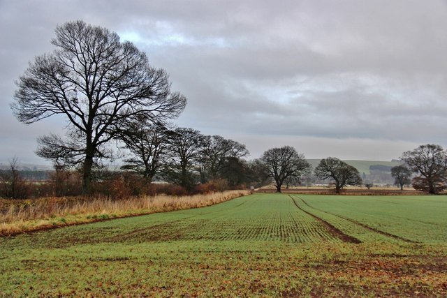
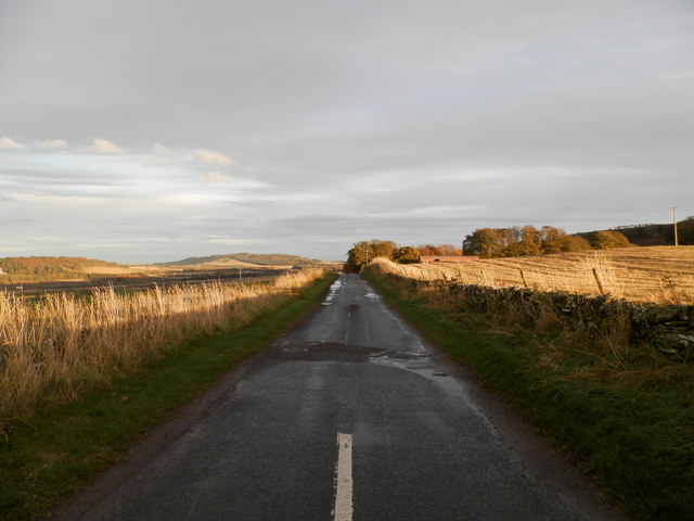
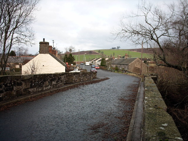
Douglastown Images

Images are sourced within 2km of 56.614119/-2.951627 or Grid Reference NO4147. Thanks to Geograph Open Source API. All images are credited.

New house, Easter Ingliston
Minor road near Foffarty
Farm road to Templebank
Minor road near Thornton
Plans of Thornton Stubble between the regularly spaced houses.
Plans of Thornton
Stubble between the regularly spaced houses.
Jericho A collection of houses just off the A94.
Jericho
A collection of houses just off the A94.
Douglastown A row of cottages off Kerbet Place.
Douglastown
A row of cottages off Kerbet Place.
Kerbet Place, Douglastown Now a no through road.
Kerbet Place, Douglastown
Now a no through road.
Remains of a hedge A row of trees is all that remains of a hedge in what is now a big arable field.
Remains of a hedge
A row of trees is all that remains of a hedge in what is now a big arable field.
Doocot, Kinnettles A ruined lectern style doo cot.
Doocot, Kinnettles
A ruined lectern style doo cot.
B9127, Kinnettles
B9127, Kinnettles
Stubble, Kinnettles Field beside the B9127.
Stubble, Kinnettles
Field beside the B9127.
B9127, Kinnettles The road, like many in and near Strathmore is tree lined.
B9127, Kinnettles
The road, like many in and near Strathmore is tree lined.
Roadside wood, Leckaway A small woodland near Forfar.
Roadside wood, Leckaway
A small woodland near Forfar.
Road to Kinnettles A yellow road near Forfar.
Road to Kinnettles
A yellow road near Forfar.
Winter crops at Glamis
Minor road near Upper Hayston
Show me another place!

Douglastown is located at Grid Ref: NO4147 (Lat: 56.614119, Lng: -2.951627)

Unitary Authority: Angus

Police Authority: Tayside

What 3 Words

///dreading.intro.multiple. Near Forfar, Angus

Nearby Locations

Douglastown

Related Wikis

Douglastown

Douglastown is a hamlet in Kinnettles in Angus, Scotland, three miles south-west of Forfar. It takes its name from the landowner who in about 1789 provided...

Kinnettles

Kinnettles is a civil parish in Angus, a council area in the northeast of Scotland. The Parish is bounded on the north and east by Forfar, on the southeast...

Kinnettles Castle

Kinnettles Castle is a mid-19th century period castle located in Forfar, Angus, Scotland. Set on 44 acres, the Scottish Baronial castle is now a hotel...

Hunter's Hill Stone

The Hunter's Hill Stone, otherwise known as the Glamis 1 Stone, is a Class II Pictish standing stone at Hunter's Hill to the south east of Glamis village...

Nearby Amenities

Located within 500m of 56.614119,-2.951627
Bus Stop
Scroggerfield Road End
Bench: yes
Bus: yes
Naptan AtcoCode: 6490IM1286
Naptan Bearing: SW
Naptan CommonName: Scroggerfield Road End
Naptan Indicator: opp
Naptan NaptanCode: 26423238
Naptan Street: A94
Naptan Verified: no
Public Transport: platform
Shelter: yes
Source: naptan_import
Lat/Long: 56.6150626/-2.9527966
Bus Stop
Scroggerfield Road End
Bench: yes
Bus: yes
Naptan AtcoCode: 6490IM350
Naptan Bearing: NE
Naptan CommonName: Scroggerfield Road End
Naptan Indicator: opp
Naptan NaptanCode: 26423989
Naptan Street: A94
Naptan Verified: no
Public Transport: platform
Shelter: yes
Source: naptan_import
Lat/Long: 56.615216/-2.9528033
Douglastown
Place: village
Start Date: 1789
Wikidata: Q203953
Wikipedia: en:Douglastown
Lat/Long: 56.6140626/-2.9516408
Booth: K6
Removed Amenity: telephone
Lat/Long: 56.6141378/-2.951749
Post Box
Post Box Type: lamp
Royal Cypher: scottish_crown
Lat/Long: 56.6141245/-2.9517088
Grit Bin
Lat/Long: 56.6141068/-2.9516605
Information: board
Tourism: information
Lat/Long: 56.6141691/-2.9517812
Douglastown
Traffic Sign: city_limit
Traffic Sign Direction: backward
Lat/Long: 56.6148536/-2.9499145
Douglastown
Traffic Sign: city_limit
Traffic Sign Direction: forward
Lat/Long: 56.6134519/-2.9487739
Brigton
Place: isolated_dwelling
Lat/Long: 56.6107482/-2.9476447
Waterway: weir
Lat/Long: 56.610022/-2.9495008
R. S. Hill Joiners & Manufacturers
Addr City: Forfar
Addr Postcode: DD8 1TL
Addr Street: The Row
Addr Suburb: Douglastown
Craft: carpenter
Phone: +44 1307 466176
Lat/Long: 56.6147122/-2.9536339
Strathmore Briquette Ltd
Addr City: Forfar
Addr Postcode: DD8 1TL
Addr Suburb: Douglastown
Email: info@strathmorebriquette.co.uk
Phone: +44 7952 977 676
Shop: briquette
Website: https://www.strathmorebriquette.co.uk/
Lat/Long: 56.6147282/-2.9532413
Street Lamp
Lat/Long: 56.6141164/-2.9497586
Street Lamp
Lat/Long: 56.6143687/-2.9499624
Street Lamp
Lat/Long: 56.614568/-2.9502266
Street Lamp
Lat/Long: 56.6147422/-2.9501555
Street Lamp
Lat/Long: 56.6145429/-2.9506142
Street Lamp
Lat/Long: 56.6142315/-2.9510246
Street Lamp
Lat/Long: 56.614137/-2.9515677
Street Lamp
Lat/Long: 56.6140182/-2.9515476
Street Lamp
Lat/Long: 56.6138994/-2.9521565
K9 Clippers
Addr City: Forfar
Addr Postcode: DD8 1TL
Addr Suburb: Douglastown
Shop: pet_grooming
Lat/Long: 56.615189/-2.954222
Brigton Farm
Place: isolated_dwelling
Lat/Long: 56.6127917/-2.9498326
Power: pole
Lat/Long: 56.6182997/-2.9518699
Power: pole
Lat/Long: 56.6179651/-2.9525557
Power: pole
Lat/Long: 56.6176031/-2.9532869
Power: pole
Lat/Long: 56.6172578/-2.9539706
Power: pole
Lat/Long: 56.6168982/-2.9547966
Power: pole
Lat/Long: 56.6165493/-2.9555342
Power: pole
Lat/Long: 56.6161897/-2.9562956
Power: pole
Lat/Long: 56.6158349/-2.9570267
Power: pole
Lat/Long: 56.6157554/-2.9572661
Power: pole
Lat/Long: 56.6155596/-2.9578226
Power: pole
Lat/Long: 56.615289/-2.9585774
Power: pole
Lat/Long: 56.6150243/-2.9593517
Power: pole
Lat/Long: 56.6153365/-2.9564099
Power: pole
Lat/Long: 56.6148807/-2.9554372
Power: pole
Lat/Long: 56.6145722/-2.9547384
Power: pole
Lat/Long: 56.6147573/-2.9540461
Power: pole
Lat/Long: 56.6158017/-2.9560821
Power: pole
Lat/Long: 56.6157827/-2.9551676
Power: pole
Lat/Long: 56.6154599/-2.9544645
Power: pole
Lat/Long: 56.6151347/-2.953798
Power: pole
Lat/Long: 56.6176352/-2.9466031
Power: pole
Lat/Long: 56.6169042/-2.946038
Power: pole
Lat/Long: 56.616185/-2.945501
Power: pole
Lat/Long: 56.6154373/-2.9449553
Power: pole
Lat/Long: 56.6147704/-2.9445002
Power: pole
Lat/Long: 56.6140773/-2.944084
Power: pole
Lat/Long: 56.613326/-2.9435814
Power: pole
Lat/Long: 56.6137022/-2.9450243
Power: pole
Lat/Long: 56.6133248/-2.945956
Power: pole
Lat/Long: 56.612913/-2.9469913
Power: pole
Lat/Long: 56.6129866/-2.9479079
Power: pole
Lat/Long: 56.6130483/-2.9488353
Power: pole
Lat/Long: 56.6131231/-2.9498231
Power: pole
Lat/Long: 56.6134566/-2.9504335
Power: pole
Lat/Long: 56.6138209/-2.9510978
The data included in this document is from www.openstreetmap.org. The data is made available under ODbL.

Have you been to Douglastown?

Leave your review of Douglastown below (or comments, questions and feedback).