Aberford Park
Wood, Forest in Yorkshire
England
Aberford Park
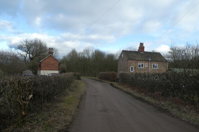
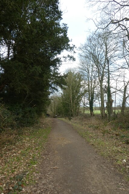
Aberford Park, located in the picturesque region of Yorkshire, is a peaceful and enchanting woodland that offers a serene escape from the hustle and bustle of everyday life. Situated near the village of Aberford, this park is renowned for its natural beauty and diverse range of flora and fauna.
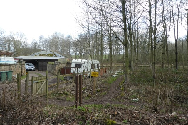
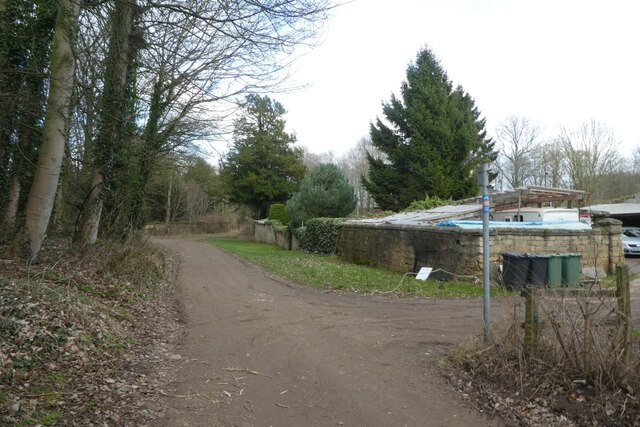
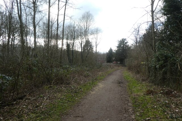
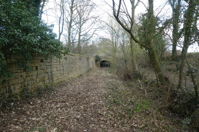
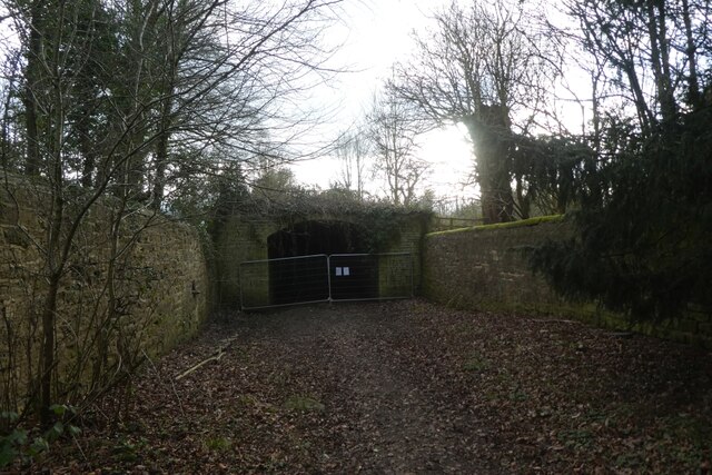
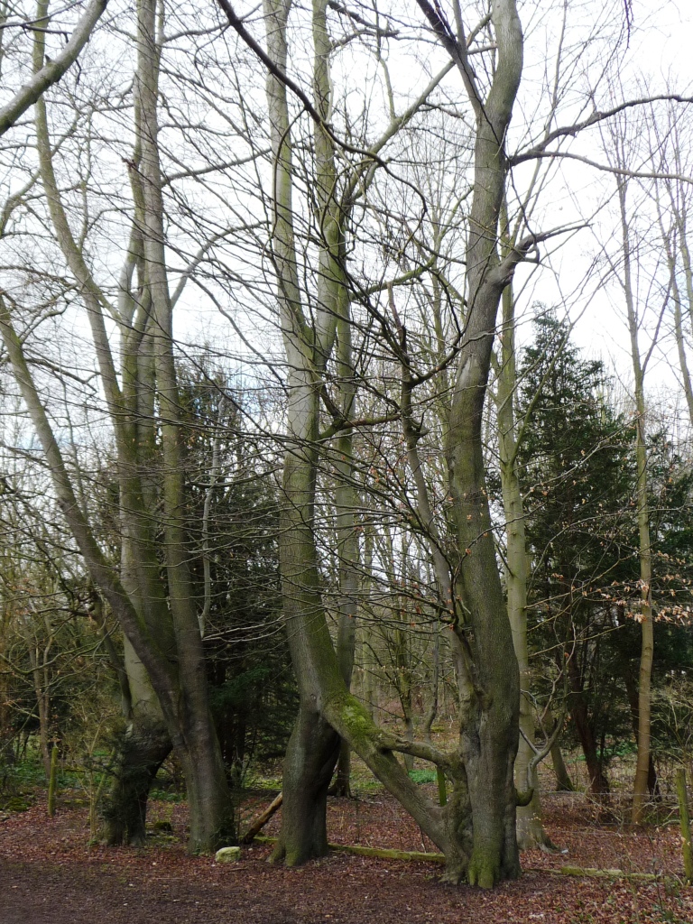
Covering a vast area, Aberford Park is a haven for nature enthusiasts and outdoor lovers. The park is predominantly covered in dense woodlands, with towering trees providing a serene canopy above. Walking along the winding paths, visitors can immerse themselves in the tranquil atmosphere and enjoy the soothing sounds of birdsong and rustling leaves.
The forest within Aberford Park is home to a variety of wildlife, making it an ideal spot for wildlife spotting. Deer, squirrels, and rabbits can often be seen darting through the undergrowth, while a plethora of bird species, including woodpeckers and owls, reside in the treetops. Nature lovers can bring their binoculars and cameras to capture the beauty of these creatures in their natural habitat.
For those seeking an active adventure, Aberford Park also offers several recreational facilities. There are spacious picnic areas for families and friends to enjoy outdoor meals amidst the scenic surroundings. Additionally, the park features well-maintained trails for hiking and cycling, providing ample opportunities for exercise and exploration.
Overall, Aberford Park is a hidden gem in the heart of Yorkshire. Its lush woodlands, diverse wildlife, and recreational facilities make it a must-visit destination for nature enthusiasts and outdoor adventurers alike.
If you have any feedback on the listing, please let us know in the comments section below.
Aberford Park Images
Images are sourced within 2km of 53.822889/-1.3574804 or Grid Reference SE4236. Thanks to Geograph Open Source API. All images are credited.
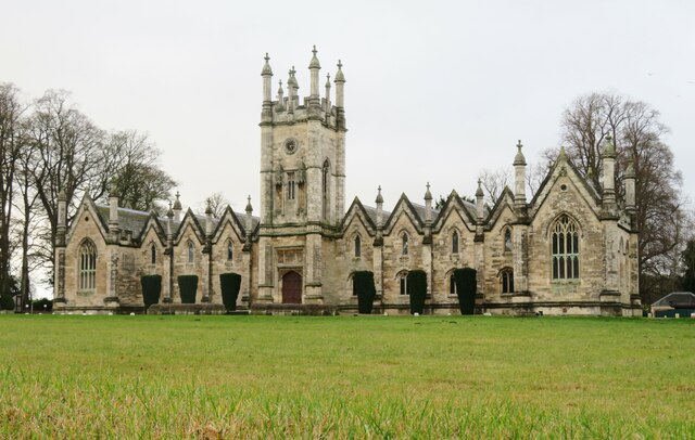
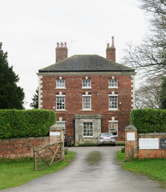
![Former Catholic chapel, Aberford Now part of a private residence, this simple building was a very early [1793] Catholic place of worship, following the Catholic Relief Act of 1791.](https://s0.geograph.org.uk/geophotos/07/05/64/7056472_c20ccc1c.jpg)


Aberford Park is located at Grid Ref: SE4236 (Lat: 53.822889, Lng: -1.3574804)
Division: West Riding
Unitary Authority: Leeds
Police Authority: West Yorkshire
What 3 Words
///lordship.tingled.fleet. Near Aberford, West Yorkshire
Nearby Locations
Related Wikis
Nellie's Tree
Nellie's Tree (also known as the Love Tree) near Aberford, West Yorkshire is a group of three beech trees that have been grafted together in the shape...
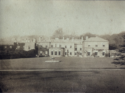
Parlington Hall
Parlington Hall was the seat of the Gascoigne family, Aberford near Leeds in West Yorkshire, England. == History == The Parlington estate was acquired...
Parlington
Parlington is a civil parish that includes part of Aberford, in the City of Leeds in West Yorkshire, England. In 2001 the parish had a population of 87...

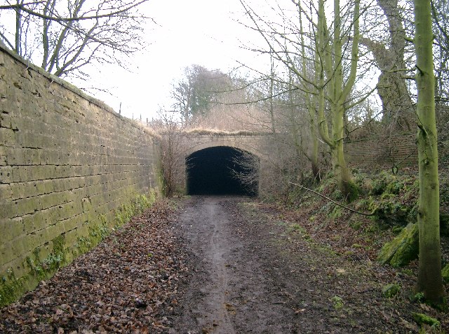
Aberford railway station
Aberford railway station served the village of Aberford, West Yorkshire, England, from 1837 to 1924 on the Aberford Railway. == History == The station...
Nearby Amenities
Located within 500m of 53.822889,-1.3574804Have you been to Aberford Park?
Leave your review of Aberford Park below (or comments, questions and feedback).