Nalder Plantation
Wood, Forest in Berkshire
England
Nalder Plantation
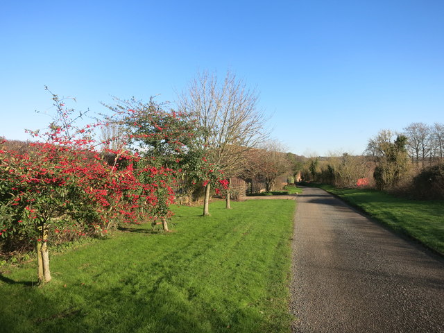
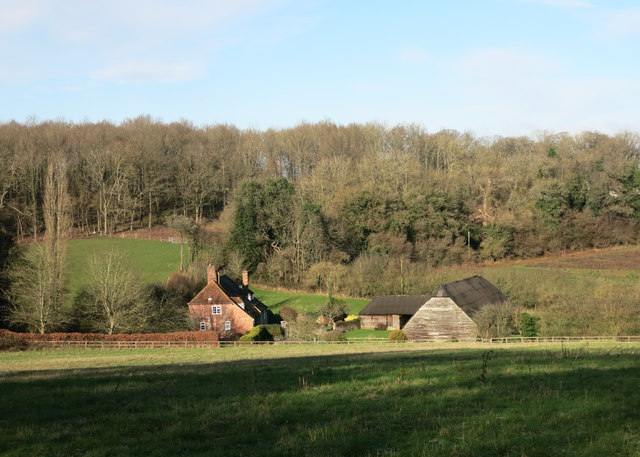
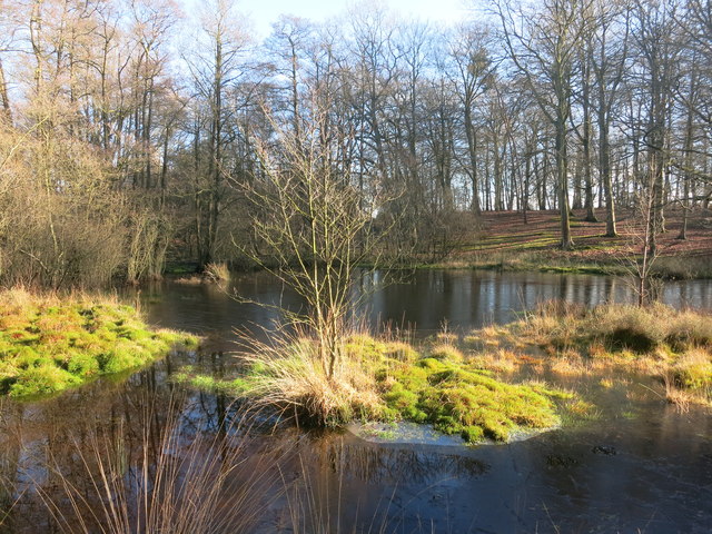
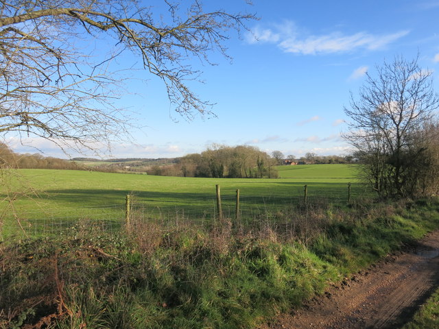
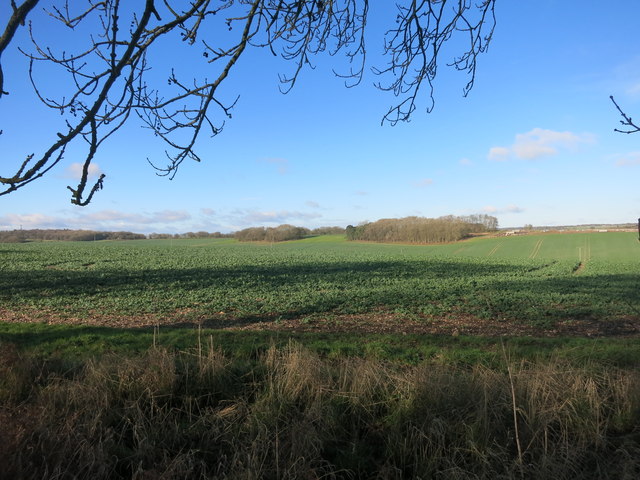
Nalder Plantation, located in Berkshire, England, is a picturesque woodland area known for its natural beauty and diverse ecosystem. Spanning over several hectares, the plantation is nestled within the serene Wood Forest, making it an ideal destination for nature enthusiasts and outdoor lovers.
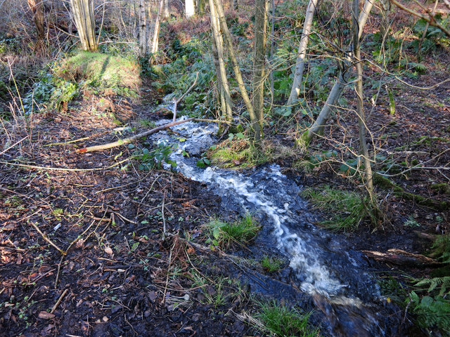
The plantation is home to a wide variety of plant species, including towering oak, beech, and pine trees, which create a dense canopy and provide a habitat for numerous wildlife species. Additionally, the woodland floor is adorned with a rich carpet of wildflowers, adding vibrant colors to the landscape during the spring and summer months.
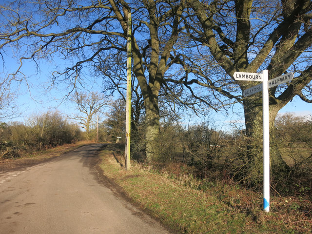
Visitors to Nalder Plantation have the opportunity to explore the forest through a network of well-maintained walking trails, allowing them to immerse themselves in the tranquil ambiance and discover the hidden treasures of the area. These trails cater to all levels of fitness and offer a range of distances, from leisurely strolls to more challenging hikes.
Nature lovers are often treated to sightings of various bird species, such as woodpeckers, owls, and warblers, making the plantation a popular spot for birdwatching. Additionally, the woodland is home to an array of mammals, including foxes, deer, and squirrels, which can be observed in their natural habitat.
Nalder Plantation, with its breathtaking scenery and abundant wildlife, offers visitors a chance to escape the hustle and bustle of everyday life and reconnect with nature. Whether it's a peaceful walk, birdwatching, or simply enjoying the tranquility of the forest, this plantation is a haven for those seeking solace in the natural world.
If you have any feedback on the listing, please let us know in the comments section below.
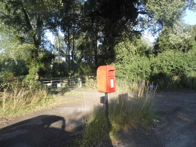
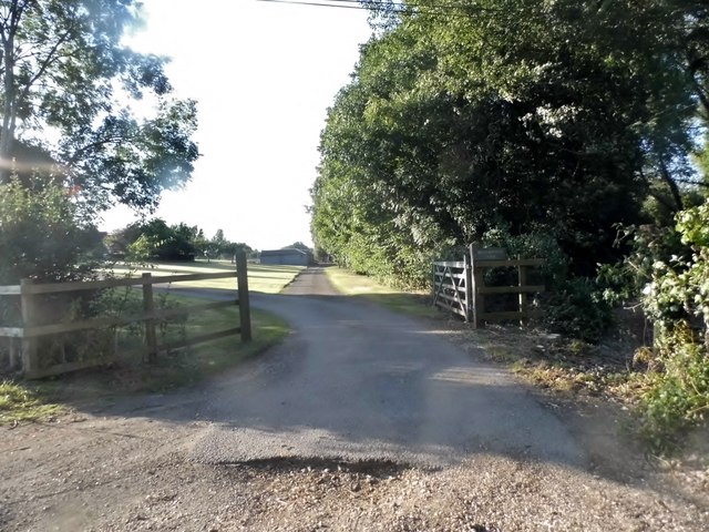
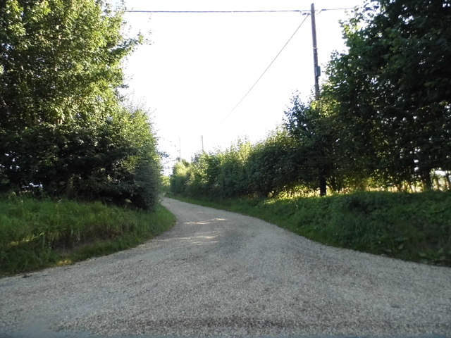
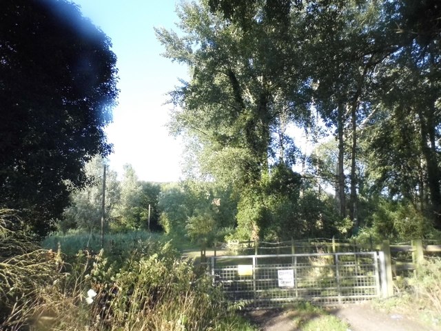
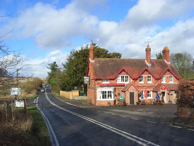
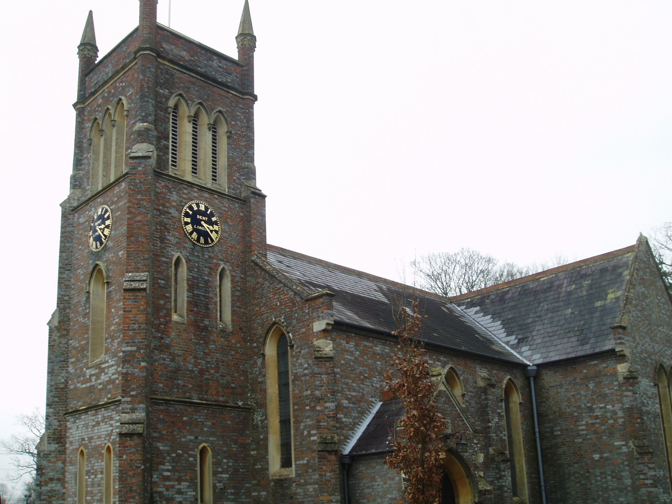
Nalder Plantation Images
Images are sourced within 2km of 51.42331/-1.3916894 or Grid Reference SU4269. Thanks to Geograph Open Source API. All images are credited.


Nalder Plantation is located at Grid Ref: SU4269 (Lat: 51.42331, Lng: -1.3916894)
Unitary Authority: West Berkshire
Police Authority: Thames Valley
What 3 Words
///toasted.modules.approvals. Near Wickham, Berkshire
Related Wikis

Wickham Heath
Wickham Heath is a small hamlet in Berkshire, England, and part of the civil parish of Welford. The settlement lies on the B4000, approximately 4 miles...

Ownham
Ownham is a hamlet in Berkshire, England, and part of the civil parish of Boxford (where according to the Grid Ref at the 2011 Census the majority of the...
Hunts Green, Berkshire
Hunts Green is a hamlet in Berkshire, England, and part of the civil parish of Boxford. The settlement lies west of the A34 road (Newbury Bypass) and approximately...
Hungerford Newtown
Hungerford Newtown is a hamlet in the civil parish of Hungerford, Berkshire, England. It is south of the M4 motorway, near junction 14, on the A338, and...

Hoe Benham
Hoe Benham is a hamlet in Berkshire, England, and part of the civil parish of Welford. The settlement lies near to the A4 and B4000 roads, and is located...

Sole Common Pond
Sole Common Pond is a 3-hectare (7.4-acre) nature reserve south-west of Boxford in Berkshire in Berkshire. It is managed by the Berkshire, Buckinghamshire...
Stockcross
Stockcross is a village in Berkshire, England. The village lies to the west of Newbury in the civil parish of Speen and the district of West Berkshire...

Stockcross and Bagnor Halt railway station
Stockcross and Bagnor Halt railway station was a railway station near Newbury, Berkshire, UK, on the Lambourn Valley Railway. It served the villages of...
Nearby Amenities
Located within 500m of 51.42331,-1.3916894Have you been to Nalder Plantation?
Leave your review of Nalder Plantation below (or comments, questions and feedback).