Wilderness

Wood, Forest in Yorkshire

England

Wilderness

Old milestone At the southern end of Aberford on the route of the Great North Road/A1, now unclassified, is this West Riding CC milestone.  It is near the entrance to St Wilfrid's Priory on the east side of the road.  This is another metal attachment with deteriorating paintwork even though it is so near the village centre and is Grade II listed, 1200719
Old milestone Credit: Chris Minto

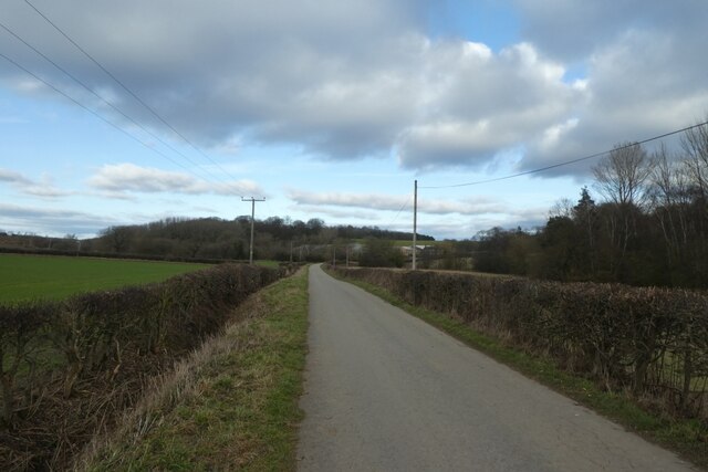
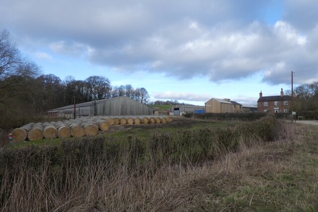
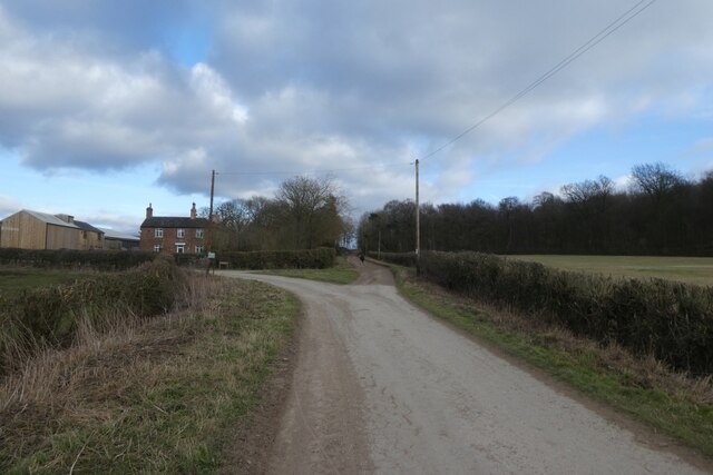
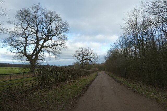
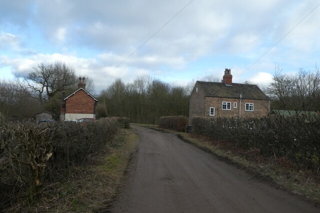
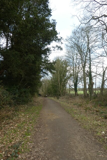
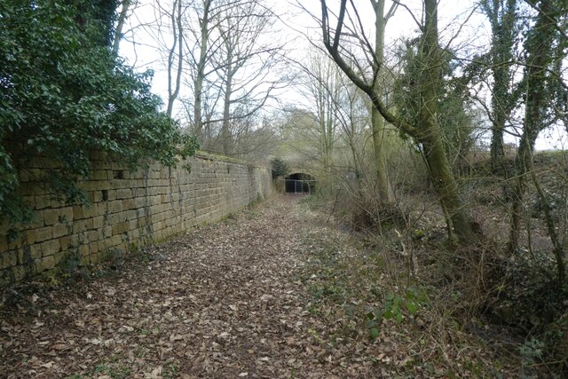
Wilderness, Yorkshire is a vast expanse of woodlands and forests located in the northern region of England. Spanning over several thousand acres, this wilderness area is a haven for nature enthusiasts and outdoor adventurers. The landscape is characterized by dense forests, rolling hills, and meandering streams, creating a picturesque and tranquil environment.

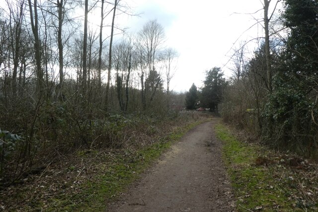
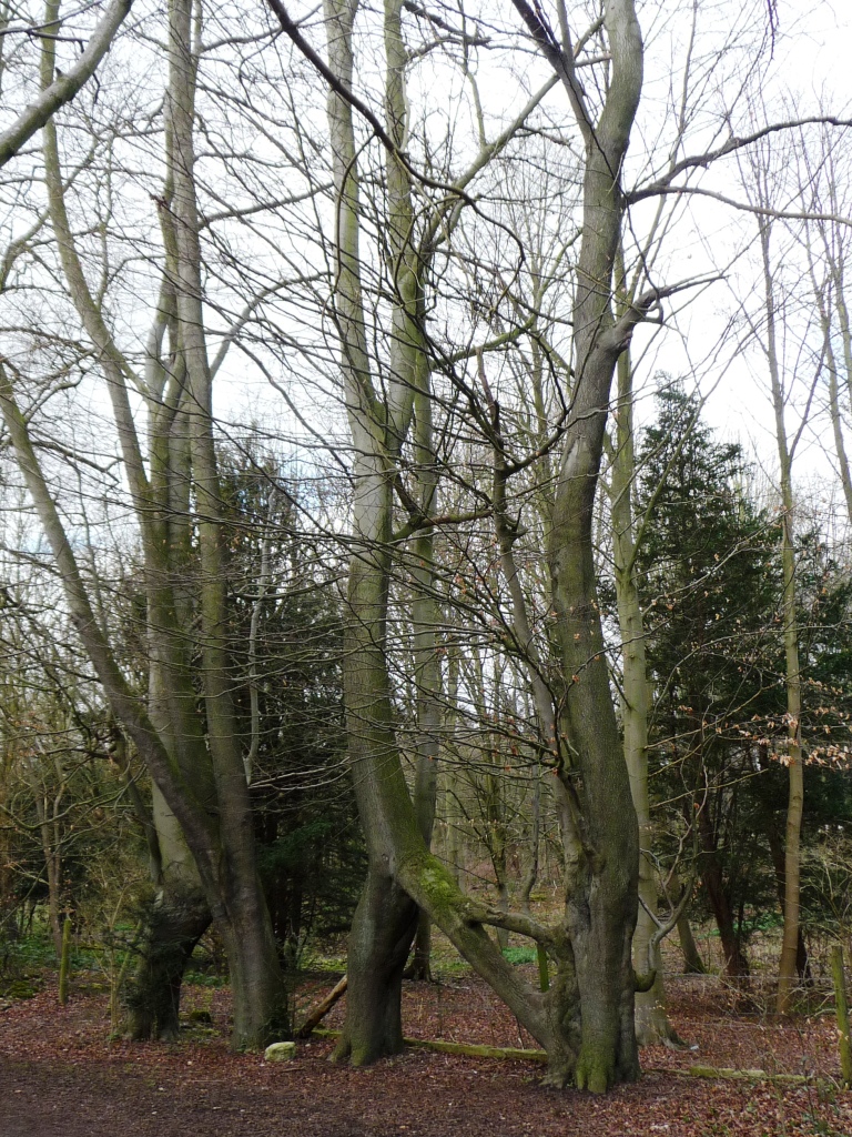
The woodlands of Wilderness, Yorkshire are home to a diverse range of flora and fauna. Ancient trees, such as oak, birch, and beech, dominate the landscape, providing shelter and sustenance for a variety of wildlife. Visitors can expect to encounter a plethora of bird species, including woodpeckers, owls, and pheasants, as well as mammals like deer, badgers, and foxes.

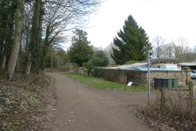
The wilderness area offers an extensive network of walking trails, allowing visitors to explore the natural beauty of the region. Hiking through the woodlands, one can immerse themselves in the sights and sounds of nature, with occasional glimpses of breathtaking vistas from elevated viewpoints. The trails cater to all levels of fitness and offer opportunities for both leisurely strolls and more challenging hikes.

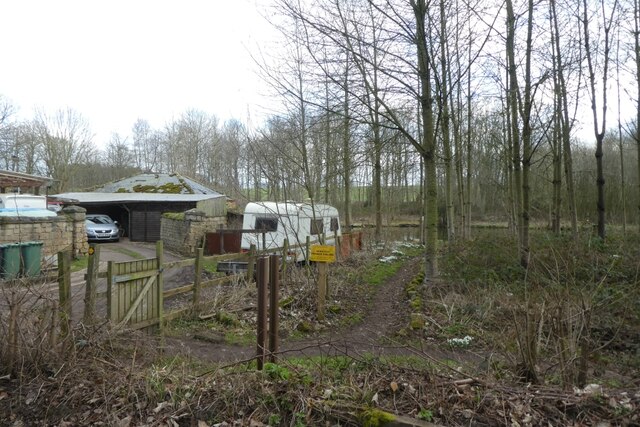
For those seeking a more immersive experience, Wilderness, Yorkshire also offers camping facilities. Nestled within the forest, campers can enjoy a serene and secluded atmosphere, while still being within reach of modern amenities.

Overall, Wilderness, Yorkshire is a captivating destination for anyone seeking an escape from the hustle and bustle of urban life. With its stunning landscapes, diverse wildlife, and opportunities for outdoor activities, this woodlands and forests area provides a truly enriching and rejuvenating experience for all who visit.

If you have any feedback on the listing, please let us know in the comments section below.
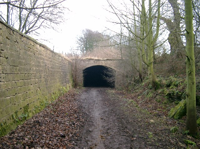
Wilderness Images

Images are sourced within 2km of 53.821806/-1.3583021 or Grid Reference SE4236. Thanks to Geograph Open Source API. All images are credited.

Old milestone At the southern end of Aberford on the route of the Great North Road/A1, now unclassified, is this West Riding CC milestone.  It is near the entrance to St Wilfrid's Priory on the east side of the road.  This is another metal attachment with deteriorating paintwork even though it is so near the village centre and is Grade II listed, 1200719
Old milestone
At the southern end of Aberford on the route of the Great North Road/A1, now unclassified, is this West Riding CC milestone. It is near the entrance to St Wilfrid's Priory on the east side of the road. This is another metal attachment with deteriorating paintwork even though it is so near the village centre and is Grade II listed, 1200719
Football ground, Aberford The ground is in a field to the west side of the old A1. It looks as though the main stand could accommodate at least 10 spectators.
Football ground, Aberford
The ground is in a field to the west side of the old A1. It looks as though the main stand could accommodate at least 10 spectators.
Former Catholic chapel, Aberford Now part of a private residence, this simple building was a very early [1793] Catholic place of worship, following the Catholic Relief Act of 1791.
Former Catholic chapel, Aberford
Now part of a private residence, this simple building was a very early [1793] Catholic place of worship, following the Catholic Relief Act of 1791.
The Gascoigne Almshouses A prominent feature on the southern approach to Aberford, this rather splendid building dates from c1844 and is now offices.
The Gascoigne Almshouses
A prominent feature on the southern approach to Aberford, this rather splendid building dates from c1844 and is now offices.
Hicklam House A rather fine mid 18th century house on the southern fringe of Aberford village.
Hicklam House
A rather fine mid 18th century house on the southern fringe of Aberford village.
Almost at the end of M1 Looking north east along the last few hundred metres of the M1 heading towards Junction 48 at Hook Moor, where it joins A1(M) which has reached J43. The overbridge in the middle distance is carrying the northbound carriageway of A1(M). These roads date from major upgrades and alterations in 1999.
Almost at the end of M1
Looking north east along the last few hundred metres of the M1 heading towards Junction 48 at Hook Moor, where it joins A1(M) which has reached J43. The overbridge in the middle distance is carrying the northbound carriageway of A1(M). These roads date from major upgrades and alterations in 1999.
M1 heading south west from Hook Moor The beginnings of M1 at its northern end where is cuts through a shallow cutting where the Roman Road once crossed. Signs in the distance herald the approach in 1 mile to J47.
M1 heading south west from Hook Moor
The beginnings of M1 at its northern end where is cuts through a shallow cutting where the Roman Road once crossed. Signs in the distance herald the approach in 1 mile to J47.
M1 Northbound from Parlington Interchange, near Garforth Leeds Image of the M1 northbound heading towards its junction with the A1M. Image taken, after a snowfall, from the Parlington Interchange which is the junction of the B1217 Aberford Road with the M1.
M1 Northbound from Parlington Interchange, near Garforth Leeds
Image of the M1 northbound heading towards its junction with the A1M. Image taken, after a snowfall, from the Parlington Interchange which is the junction of the B1217 Aberford Road with the M1.
Along Parlington Road A bridleway runs along Parlington Road between Barwick Road and Aberford. This path forms part of National Cycle Network route 66, with this section connecting Leeds and York.
Along Parlington Road
A bridleway runs along Parlington Road between Barwick Road and Aberford. This path forms part of National Cycle Network route 66, with this section connecting Leeds and York.
Throstle Nest Farm Located along Parlington Lane.
Throstle Nest Farm
Located along Parlington Lane.
Parlington Lane near Throstle Nest Farm A bridleway runs along Parlington Road between Barwick Road and Aberford. This path forms part of National Cycle Network route 66, with this section connecting Leeds and York.
Parlington Lane near Throstle Nest Farm
A bridleway runs along Parlington Road between Barwick Road and Aberford. This path forms part of National Cycle Network route 66, with this section connecting Leeds and York.
Parlington Lane east of Throstle Nest Farm A bridleway runs along Parlington Road between Barwick Road and Aberford. This path forms part of National Cycle Network route 66, with this section connecting Leeds and York.
Parlington Lane east of Throstle Nest Farm
A bridleway runs along Parlington Road between Barwick Road and Aberford. This path forms part of National Cycle Network route 66, with this section connecting Leeds and York.
Parlington Lane passing Staith Cottage A bridleway runs along Parlington Road between Barwick Road and Aberford. This path forms part of National Cycle Network route 66, with this section connecting Leeds and York.
Parlington Lane passing Staith Cottage
A bridleway runs along Parlington Road between Barwick Road and Aberford. This path forms part of National Cycle Network route 66, with this section connecting Leeds and York.
Fishing pool near Gamekeepers Cottage Looking towards a fishing pool beside Parlington Lane.
Fishing pool near Gamekeepers Cottage
Looking towards a fishing pool beside Parlington Lane.
Parlington Lane near Gamekeepers Cottage A bridleway runs along Parlington Road between Barwick Road and Aberford. This path forms part of National Cycle Network route 66, with this section connecting Leeds and York.
Parlington Lane near Gamekeepers Cottage
A bridleway runs along Parlington Road between Barwick Road and Aberford. This path forms part of National Cycle Network route 66, with this section connecting Leeds and York.
Track east of Gamekeepers Cottage A bridleway runs along Parlington Road between Barwick Road and Aberford. This path forms part of National Cycle Network route 66, with this section connecting Leeds and York.
Track east of Gamekeepers Cottage
A bridleway runs along Parlington Road between Barwick Road and Aberford. This path forms part of National Cycle Network route 66, with this section connecting Leeds and York.
Along Parlington Lane A bridleway runs along Parlington Road between Barwick Road and Aberford. This path forms part of National Cycle Network route 66, with this section connecting Leeds and York.
Along Parlington Lane
A bridleway runs along Parlington Road between Barwick Road and Aberford. This path forms part of National Cycle Network route 66, with this section connecting Leeds and York.
Tunnel on Parlington Lane A bridleway runs along Parlington Road between Barwick Road and Aberford. This path forms part of National Cycle Network route 66, with this section connecting Leeds and York. The tunnel is currently closed for repair works, with a diversion path alongside.
Tunnel on Parlington Lane
A bridleway runs along Parlington Road between Barwick Road and Aberford. This path forms part of National Cycle Network route 66, with this section connecting Leeds and York. The tunnel is currently closed for repair works, with a diversion path alongside.
Show me another place!

Wilderness is located at Grid Ref: SE4236 (Lat: 53.821806, Lng: -1.3583021)

Division: West Riding

Unitary Authority: Leeds

Police Authority: West Yorkshire

What 3 Words

///dumplings.report.mattress. Near Aberford, West Yorkshire

Related Wikis

Nellie's Tree

Nellie's Tree (also known as the Love Tree) near Aberford, West Yorkshire is a group of three beech trees that have been grafted together in the shape...

Parlington Hall

Parlington Hall was the seat of the Gascoigne family, Aberford near Leeds in West Yorkshire, England. == History == The Parlington estate was acquired...

Parlington

Parlington is a civil parish that includes part of Aberford, in the City of Leeds in West Yorkshire, England. In 2001 the parish had a population of 87...

Aberford railway station

Aberford railway station served the village of Aberford, West Yorkshire, England, from 1837 to 1924 on the Aberford Railway. == History == The station...

Related Videos

LOTHERTON HALL - WILDLIFE WORLD (A GOPRO HOBBLING) 4K

A look at the wildlife, most were hiding and its a slow hobbling walk with difficulty.

A day with Ginetta Cars!

ginetta #motorsport #formula1 #cars #f1inschools #f1 #trendingshorts #car #trackday #girlsontrack #travel #worldfinals.

Nearby Amenities

Located within 500m of 53.821806,-1.3583021
Natural: spring
Lat/Long: 53.8232516/-1.3543969
Barrier: stile
Lat/Long: 53.8226334/-1.3538509
Barrier: cattle_grid
Lat/Long: 53.8233889/-1.3606298
Historic: memorial
Lat/Long: 53.8235182/-1.3607212
tank ramp
Service: repair
Lat/Long: 53.8254149/-1.3538156
tank ramp
Service: repair
Lat/Long: 53.8241043/-1.3591268
tank ramp
Service: repair
Lat/Long: 53.8239428/-1.3600709
Noexit: yes
Lat/Long: 53.8206465/-1.3604736
The data included in this document is from www.openstreetmap.org. The data is made available under ODbL.

Have you been to Wilderness?

Leave your review of Wilderness below (or comments, questions and feedback).