Doughton
Settlement in Norfolk North Norfolk
England
Doughton
Doughton is a small village located in the county of Norfolk, England. Situated approximately 5 miles south-east of the market town of Fakenham, Doughton is nestled in the picturesque countryside that characterizes this region. The village is part of the civil parish of Stibbard and is home to a close-knit community of around 100 residents.
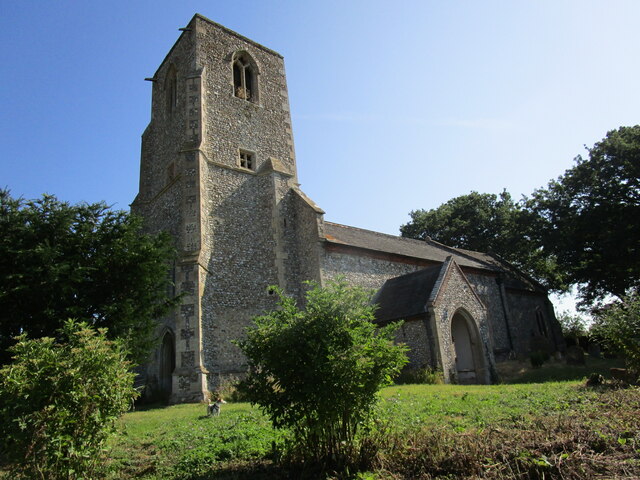
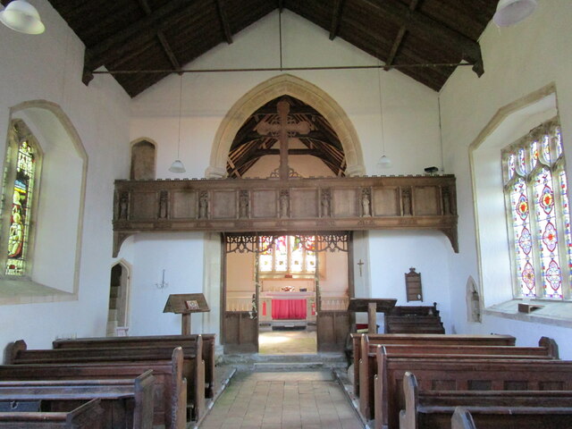
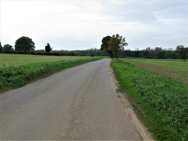
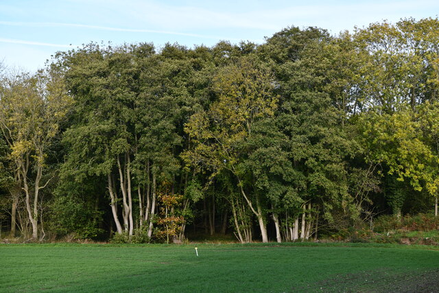
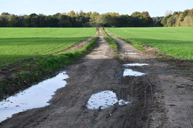
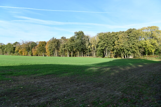
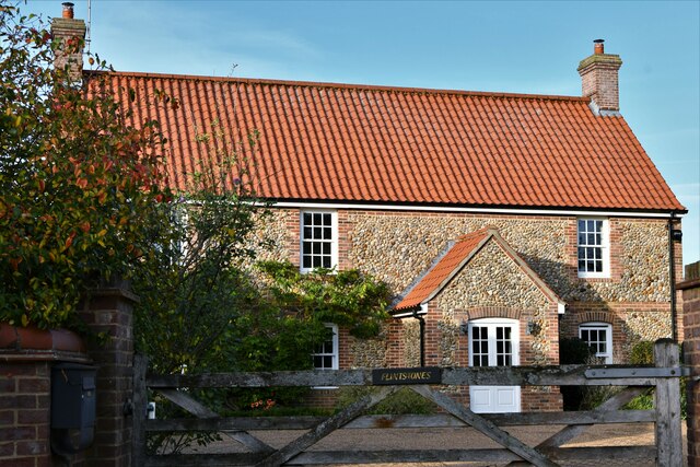
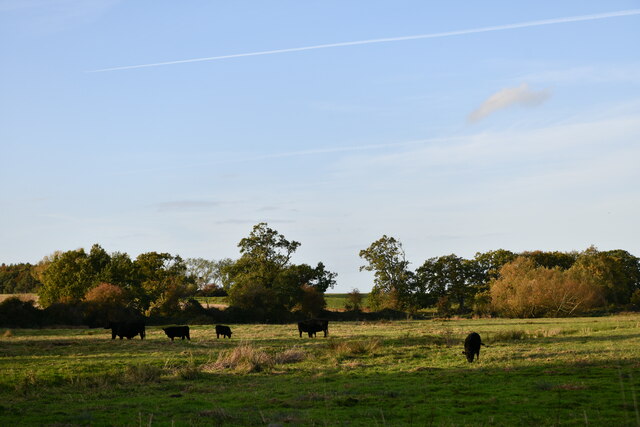
The village of Doughton features a typical rural landscape with charming cottages and traditional brick houses. The surrounding area is predominantly agricultural, with fields of crops and grazing pastures. The village itself is centered around a village green, which serves as a focal point for community events and gatherings.
Although Doughton is a small village, it benefits from its proximity to larger towns such as Fakenham and the city of Norwich, which is approximately 20 miles to the southeast. This offers residents access to a wider range of amenities, including shops, supermarkets, schools, and healthcare services.
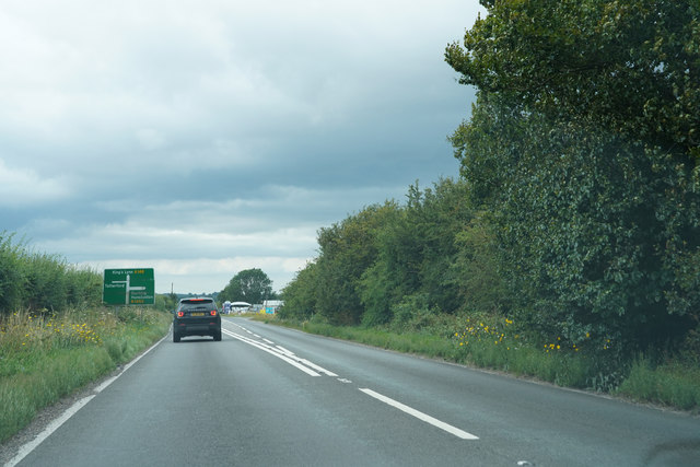
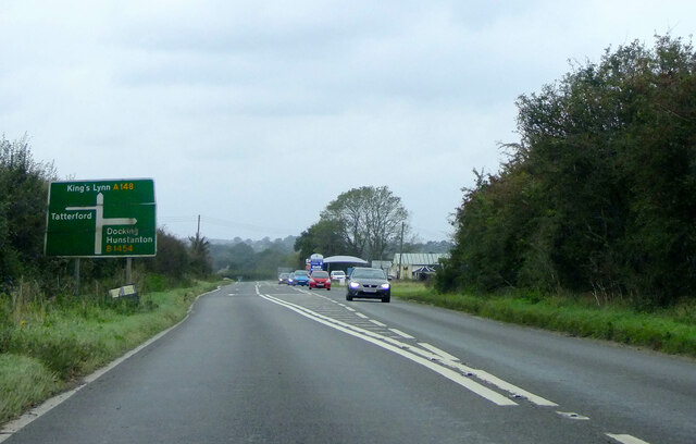
The village is well-connected by road, with the A148 running just to the north of Doughton, providing easy access to neighboring towns and cities. Public transportation options are limited, with a few bus services connecting Doughton to surrounding areas.
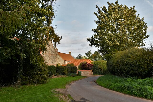
Doughton enjoys a peaceful and tranquil setting, with beautiful countryside walks and scenic views. The village is a popular choice for those seeking a quieter, rural lifestyle, away from the hustle and bustle of larger towns and cities.
If you have any feedback on the listing, please let us know in the comments section below.
Doughton Images
Images are sourced within 2km of 52.826077/0.77408256 or Grid Reference TF8729. Thanks to Geograph Open Source API. All images are credited.

Doughton is located at Grid Ref: TF8729 (Lat: 52.826077, Lng: 0.77408256)
Administrative County: Norfolk
District: North Norfolk
Police Authority: Norfolk
What 3 Words
///cooks.bongo.parsnip. Near Fakenham, Norfolk
Nearby Locations
Related Wikis

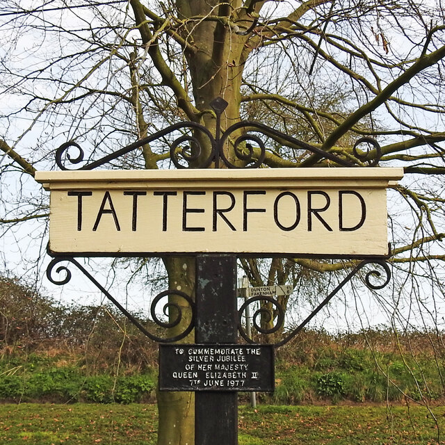
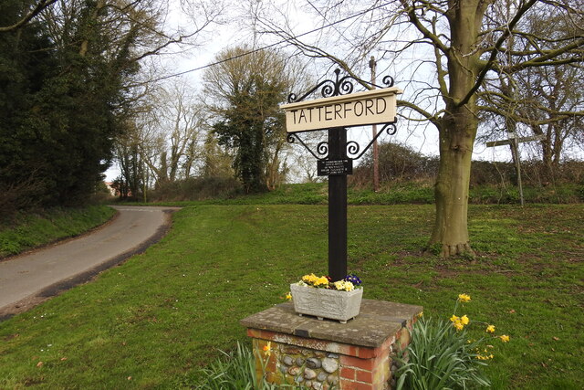
Tatterford
Tatterford is a village and former civil parish, now in the parish of Tattersett, in the North Norfolk district, in the county of Norfolk, England. The...

River Tat
The River Tat is a short river in the County of Norfolk, England. It is an important headwater for the River Wensum of which it is a tributary. Its source...

Dunton, Norfolk
Dunton is a village and civil parish in the North Norfolk district, in the county of Norfolk, England. It is located about 5 kilometres (3.1 mi) west of...

Raynham Park railway station
Raynham Park railway station was a station in Norfolk, England. It was opened in the 19th century as part of the Midland and Great Northern Joint Railway...

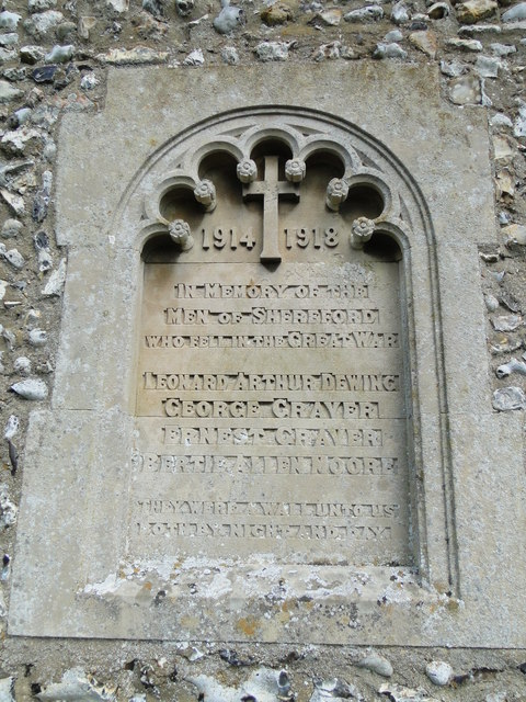
Shereford
Shereford is a small village and former civil parish, now in the parish of Dunton, in the North Norfolk district, in the county of Norfolk, England. It...
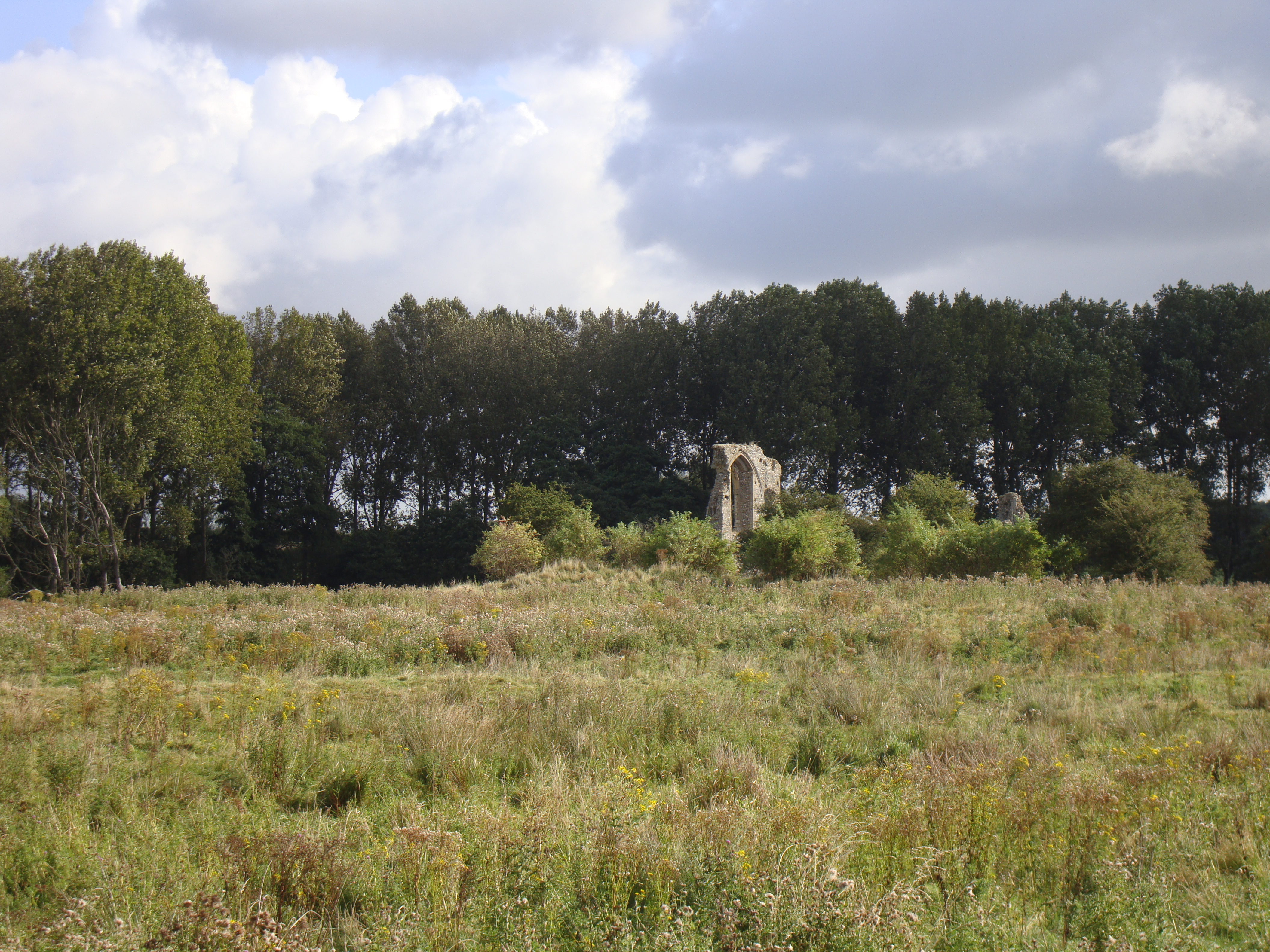
Coxford Priory
Coxford Priory or Broomsthorpe Priory was a monastic house in Norfolk, England. An Augustinian Canons Regular establishment, initially founded around 1140...

Helhoughton
Helhoughton is a village and civil parish in Norfolk, England. It is 4.2 miles (6.8 km) west-south-west of the town of Fakenham, 29.3 miles (47.2 km) west...

Tattersett
Tattersett is a village and civil parish in the English county of Norfolk. It covers an area of 11.38 square kilometres (4.39 square miles), and had a...
Related Videos
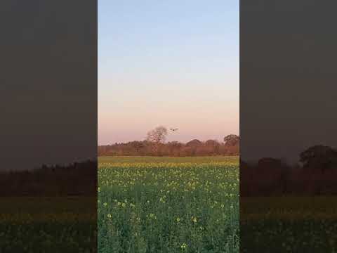
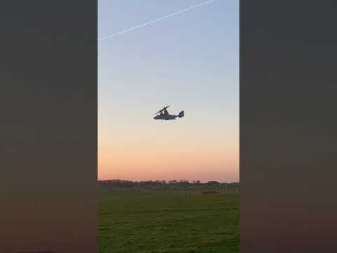
CV-22B Osprey at Sculthorpe, Norfolk
Cv-22b Osprey from the 352nd Special Operations Wing based at USAF Mildenhall, training at Sculthorpe.
(Audio) Lockheed C130 Hercules Low Overhead Flypast
For licensing enquiries, please contact: infrastructure-recordings@outlook.com A recording of a Lockheed C130 Hercules taking ...

C130-J Hercules landing
Lockheed Hercules C-130J-30 landing Filmed at Sculthorpe (09/03/2021) Aircraft Reg: ZH866 Callsign: OMEN1 Thanks for ...
Nearby Amenities
Located within 500m of 52.826077,0.77408256Have you been to Doughton?
Leave your review of Doughton below (or comments, questions and feedback).