Doughton
Settlement in Gloucestershire Cotswold
England
Doughton

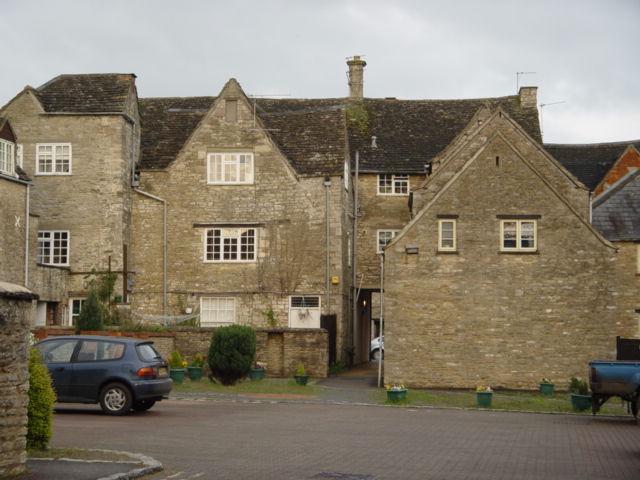
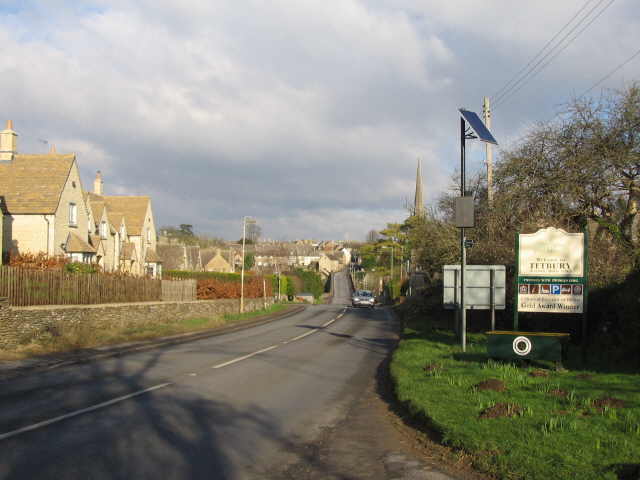
Doughton is a small village located in the county of Gloucestershire, England. Situated in the picturesque Cotswolds, it is nestled amidst rolling hills and lush green countryside. With a population of just under 200 residents, Doughton retains its quaint and charming character.
The village is known for its beautiful stone houses, many of which date back several centuries. The architecture is typically Cotswoldian, featuring honey-colored limestone buildings with thatched roofs and traditional chimneys. The village church, St. Michael and All Angels, is a prominent landmark, showcasing stunning medieval architecture and stained glass windows.
Doughton is surrounded by stunning natural landscapes, making it an ideal destination for nature enthusiasts. The area offers numerous walking trails and footpaths, allowing visitors to explore the nearby woodlands, fields, and meadows. The village is also close to several nature reserves, such as the Cotswold Water Park and Westonbirt Arboretum, which boast a wide variety of flora and fauna.
Despite its small size, Doughton benefits from a thriving community spirit. The village has a local pub, The Doughton Village Inn, which serves as a popular gathering spot for both residents and visitors alike. Additionally, various community events and festivals are organized throughout the year, fostering a strong sense of togetherness among the villagers.
Overall, Doughton is a charming and idyllic village that offers a peaceful escape from the bustling city life. Its rich history, stunning surroundings, and close-knit community make it a hidden gem within Gloucestershire.
If you have any feedback on the listing, please let us know in the comments section below.
Doughton Images
Images are sourced within 2km of 51.622499/-2.177356 or Grid Reference ST8791. Thanks to Geograph Open Source API. All images are credited.


Doughton is located at Grid Ref: ST8791 (Lat: 51.622499, Lng: -2.177356)
Administrative County: Gloucestershire
District: Cotswold
Police Authority: Gloucestershire
What 3 Words
///crunched.torched.infinite. Near Tetbury, Gloucestershire
Nearby Locations
Related Wikis
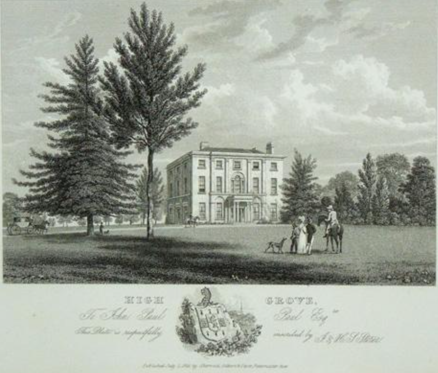
Highgrove House
Highgrove House is the family residence of King Charles III and Queen Camilla. It lies southwest of Tetbury in Gloucestershire, England. Built in the late...
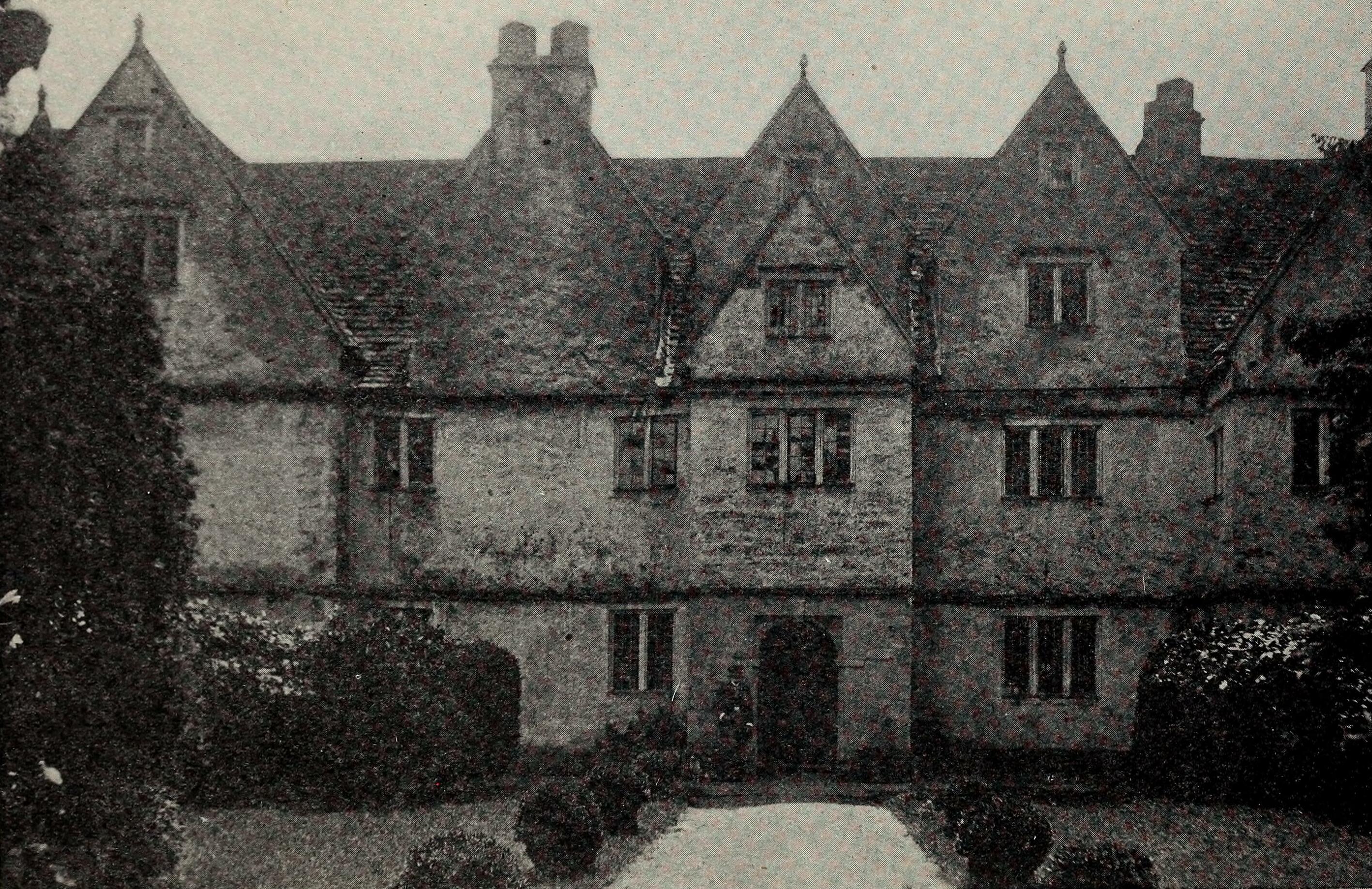
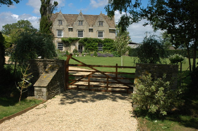
Doughton Manor
Doughton Manor is a country house in Doughton, in the civil parish of Tetbury Upton, in the Cotswold district of Gloucestershire, England. It is recorded...
A433 road
The A433 road is an A road and primary route in Gloucestershire, England. == Route == It starts at a junction with the A46 at Dunkirk (51.5754°N 2.3017...

St Saviour's Church, Tetbury
St Saviour's Church is a historic 19th-century Anglican church in the town of Tetbury, Gloucestershire, England under the care of The Churches Conservation...
Nearby Amenities
Located within 500m of 51.622499,-2.177356Have you been to Doughton?
Leave your review of Doughton below (or comments, questions and feedback).