Big Covert

Wood, Forest in Gloucestershire Cotswold

England

Big Covert

Whitehouse Lane
Whitehouse Lane Credit: Vieve Forward

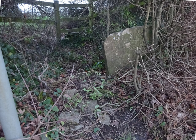
Big Covert is a picturesque woodland located in the county of Gloucestershire, England. Situated within the expansive Forest of Dean, this natural gem covers a vast area of approximately 500 acres. Big Covert is known for its dense and ancient forest, which is home to a diverse range of flora and fauna.

The woodland is characterized by its towering oak, beech, and ash trees, which create a dense canopy overhead and provide a habitat for various wildlife species. Visitors to Big Covert can expect to see an array of woodland creatures, including deer, foxes, badgers, and numerous species of birds.

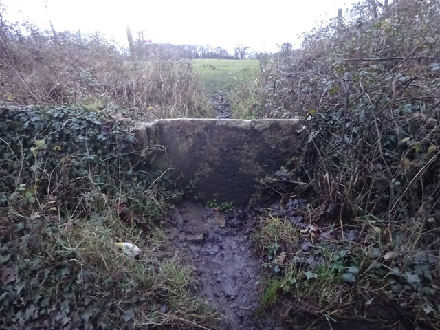
The forest floor is carpeted with a rich tapestry of wildflowers, ferns, and mosses, adding to the enchanting ambiance of the woodland. Walking trails wind their way through the forest, allowing visitors to explore its beauty at their own pace. These trails are well-maintained and provide access to the different areas of Big Covert, offering opportunities for leisurely strolls, nature hikes, and even birdwatching.

Big Covert also holds historical significance, as it was once used as a hiding place during the English Civil War. Ruins of ancient structures and earthworks can still be found within the woodland, providing a glimpse into its past.

Whether it's a tranquil escape into nature, a chance to spot wildlife, or a historical journey, Big Covert in Gloucestershire offers a captivating experience for visitors seeking solace in the beauty of the forest.

If you have any feedback on the listing, please let us know in the comments section below.

Big Covert Images

Images are sourced within 2km of 51.62011/-2.1880439 or Grid Reference ST8791. Thanks to Geograph Open Source API. All images are credited.

Whitehouse Lane
Whitehouse Lane
Stone Stile, Westonbirt Looking towards the road on Gloucestershire footpath NSM1. The view looking back is <a href="https://www.geograph.org.uk/photo/7055116">ST8789 : Stone Stile, Westonbirt</a>.
Stone Stile, Westonbirt
Looking towards the road on Gloucestershire footpath NSM1. The view looking back is ST8789 : Stone Stile, Westonbirt.
Stone Stile, Westonbirt Looking from the road to Gloucestershire footpath NSM1. The view looking out is <a href="https://www.geograph.org.uk/photo/7055115">ST8789 : Stone Stile, Westonbirt</a>.
Stone Stile, Westonbirt
Looking from the road to Gloucestershire footpath NSM1. The view looking out is ST8789 : Stone Stile, Westonbirt.
Stone Stile, Westonbirt Looking towards Westonbirt village along Gloucestershire footpath NWL13. The alternative view looking towards the road is <a href="https://www.geograph.org.uk/photo/7055125">ST8789 : Stone Stile, Westonbirt</a>.
Stone Stile, Westonbirt
Looking towards Westonbirt village along Gloucestershire footpath NWL13. The alternative view looking towards the road is ST8789 : Stone Stile, Westonbirt.
Stone Stile, Westonbirt Looking towards the road with Westonbirt village to the rear along Gloucestershire footpath NWL13. The alternative view looking from the road is <a href="https://www.geograph.org.uk/photo/7055124">ST8789 : Stone Stile, Westonbirt</a>.
Stone Stile, Westonbirt
Looking towards the road with Westonbirt village to the rear along Gloucestershire footpath NWL13. The alternative view looking from the road is ST8789 : Stone Stile, Westonbirt.
Westonbirt Farmland and School The school is visible from the Arboretum. It is a girls school on the estate which includes the arboretum. <span class="nowrap"><a title="http://www.westonbirt.gloucs.sch.uk/Templates/historyofwest.htm" rel="nofollow ugc noopener" href="http://www.westonbirt.gloucs.sch.uk/Templates/historyofwest.htm">Link</a><img style="margin-left:2px;" alt="External link" title="External link - shift click to open in new window" src="https://s1.geograph.org.uk/img/external.png" width="10" height="10"/></span>
Westonbirt Farmland and School
The school is visible from the Arboretum. It is a girls school on the estate which includes the arboretum. LinkExternal link
Westonbirt Estate A section of the farmland between the Westonbirt school and the Arboretum.
Westonbirt Estate
A section of the farmland between the Westonbirt school and the Arboretum.
Beautiful Tree on the Westonbirt Estate This tree is on pasture land of the Westonbirt estate between the Arboretum and the girls school.
Beautiful Tree on the Westonbirt Estate
This tree is on pasture land of the Westonbirt estate between the Arboretum and the girls school.
Clayfields Farm A view looking north to the house at Clayfields Farm.
Clayfields Farm
A view looking north to the house at Clayfields Farm.
Clayfields farm A view across the front garden.
Clayfields farm
A view across the front garden.
Clayfields Farm The impressive farmhouse of Clayfields Farm dates from around 1815.
Clayfields Farm
The impressive farmhouse of Clayfields Farm dates from around 1815.
Westonbirt House The impressive neo-Elizabethan house was built in 1860s for Robert Stayner Holford, the architect was Lewis Vulliamy. Today, the building is a school and is private, the view here is from the St Catherine's church.
Westonbirt House
The impressive neo-Elizabethan house was built in 1860s for Robert Stayner Holford, the architect was Lewis Vulliamy. Today, the building is a school and is private, the view here is from the St Catherine's church.
Westonbirt Church Dedicated to St Catherine this church at Westonbirt now serves Westonbirt School, which is just visible to the right, as a chapel. The church dates from the 14th century, and is surrounded by the private grounds of the school.
Westonbirt Church
Dedicated to St Catherine this church at Westonbirt now serves Westonbirt School, which is just visible to the right, as a chapel. The church dates from the 14th century, and is surrounded by the private grounds of the school.
Westonbirt House Westonbirt House viewed from the footpath crossing the parkland to the south, the neo-Elizabethan house was built between 1864-74 for Robert Stayner Holford, today the building is used as a school.
Westonbirt House
Westonbirt House viewed from the footpath crossing the parkland to the south, the neo-Elizabethan house was built between 1864-74 for Robert Stayner Holford, today the building is used as a school.
Westonbirt House, Tetbury Westonbirt House in the form seen today was commissioned by Robert Stayner Holford a scion of a family whose wealth came from supplying water to London. Described as neo-Elizabethan, it was built in the 1860s to designs by Louis Vulliamy. It is now a girls' school.
Westonbirt House, Tetbury
Westonbirt House in the form seen today was commissioned by Robert Stayner Holford a scion of a family whose wealth came from supplying water to London. Described as neo-Elizabethan, it was built in the 1860s to designs by Louis Vulliamy. It is now a girls' school.
Grounds, Westonbirt House, Tetbury Westonbirt House has been a girls' school since 1928. This is the entrance road with some fine trees alongside.
Grounds, Westonbirt House, Tetbury
Westonbirt House has been a girls' school since 1928. This is the entrance road with some fine trees alongside.
Weather vane and chimneys, Westonbirt House, Tetbury Despite the clear blue skies this was a very cold day. The vane shows the wind as coming straight off the Urals.
Weather vane and chimneys, Westonbirt House, Tetbury
Despite the clear blue skies this was a very cold day. The vane shows the wind as coming straight off the Urals.
Westonbirt House Girls' School, Tetbury During holidays the school is opened for events such as an antiques fair as it is today. There were several Lowrys for sale at prices starting in the tens of thousands for a pencil sketch up to £325,000 for an oil on canvas.
Westonbirt House Girls' School, Tetbury
During holidays the school is opened for events such as an antiques fair as it is today. There were several Lowrys for sale at prices starting in the tens of thousands for a pencil sketch up to £325,000 for an oil on canvas.
Show me another place!

Big Covert is located at Grid Ref: ST8791 (Lat: 51.62011, Lng: -2.1880439)

Administrative County: Gloucestershire

District: Cotswold

Police Authority: Gloucestershire

What 3 Words

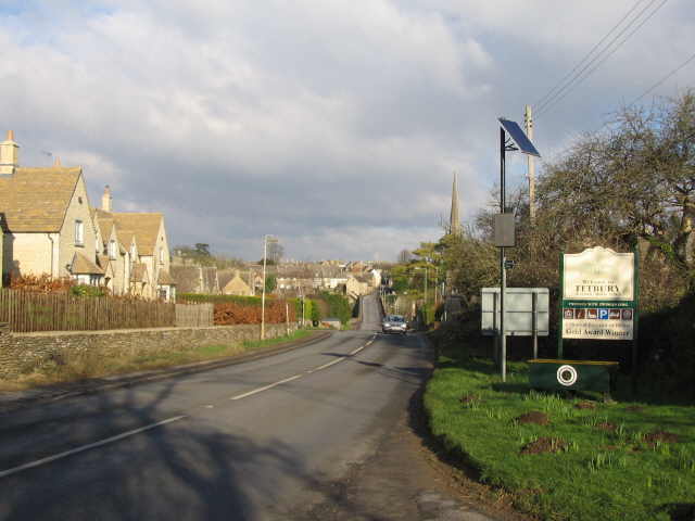
///ditched.lifts.stealthier. Near Tetbury, Gloucestershire

Nearby Locations

Big Covert Doughton

Related Wikis

Highgrove House

Highgrove House is the family residence of King Charles III and Queen Camilla. It lies southwest of Tetbury in Gloucestershire, England. Built in the late...

Doughton Manor

Doughton Manor is a country house in Doughton, in the civil parish of Tetbury Upton, in the Cotswold district of Gloucestershire, England. It is recorded...

Westonbirt School

Westonbirt School is a co-educational independent day and boarding school for boys and girls aged 11 to 18 located near Tetbury in Gloucestershire in South...
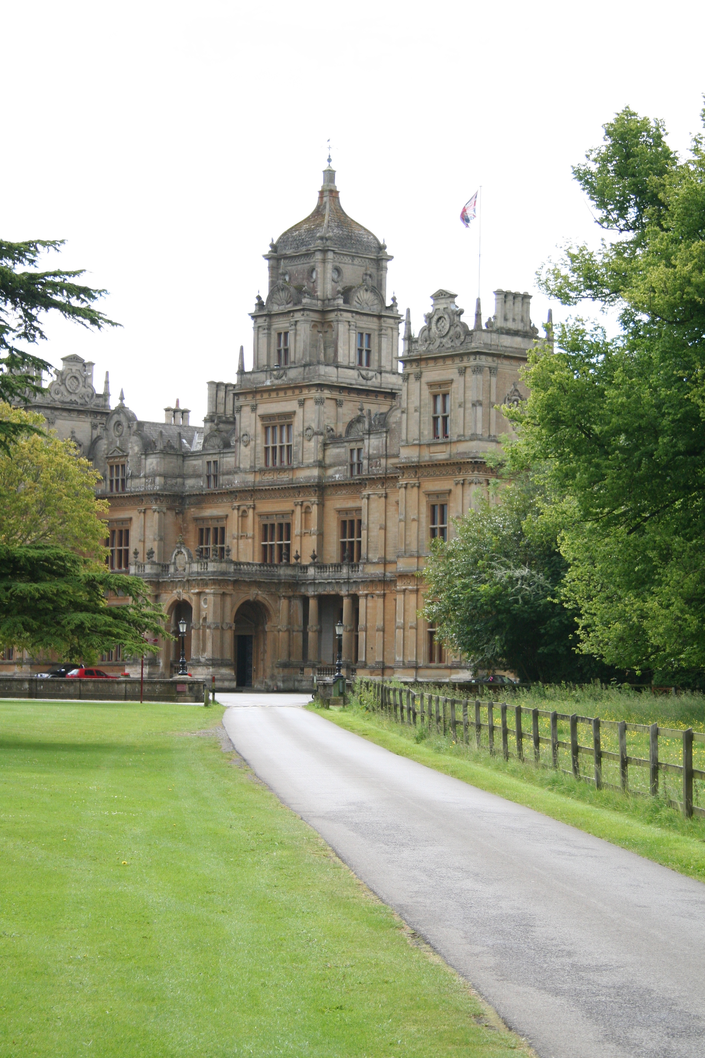
Westonbirt House

Westonbirt House is a country house in Gloucestershire, England, about 3 miles (5 km) southwest of the town of Tetbury. It belonged to the Holford family...

A433 road

The A433 road is an A road and primary route in Gloucestershire, England. == Route == It starts at a junction with the A46 at Dunkirk (51.5754°N 2.3017...

Westonbirt Arboretum

Westonbirt, The National Arboretum is an arboretum in Gloucestershire, England, about 3 miles (5 km) southwest of the town of Tetbury. Managed by Forestry...

St Saviour's Church, Tetbury

St Saviour's Church is a historic 19th-century Anglican church in the town of Tetbury, Gloucestershire, England under the care of The Churches Conservation...

Beverston

Beverston is a village and civil parish in the Cotswold district of Gloucestershire, England. According to the 2001 census it had a population of 132,...

Nearby Amenities

Located within 500m of 51.62011,-2.1880439
Barrier: stile
Material: stone
Stile: stepover
Lat/Long: 51.6191797/-2.1933602
Barrier: wicket_gate
Lat/Long: 51.6210574/-2.1895145
Barrier: stile
Material: wood
Stile: stepover
Lat/Long: 51.6177777/-2.1941702
Barrier: stile
Material: wood
Stile: stepover
Lat/Long: 51.6216821/-2.1879389
The data included in this document is from www.openstreetmap.org. The data is made available under ODbL.

Have you been to Big Covert?

Leave your review of Big Covert below (or comments, questions and feedback).