Hew Bank Plantations
Wood, Forest in Yorkshire Harrogate
England
Hew Bank Plantations

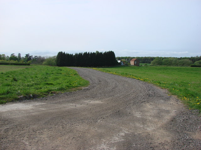
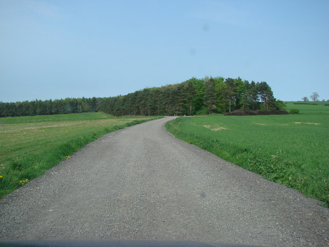
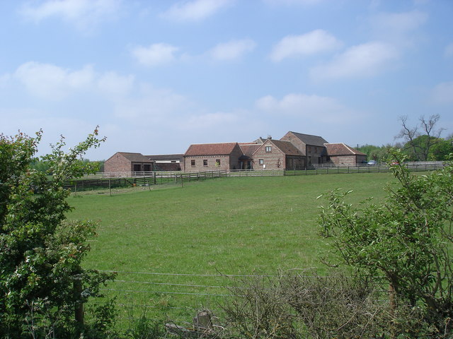
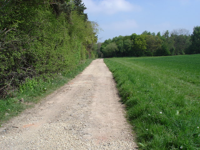
Hew Bank Plantations is a picturesque woodland located in the county of Yorkshire, England. Situated in the heart of the Yorkshire Dales National Park, the plantation covers a vast area of lush greenery and is known for its dense, thriving forest.
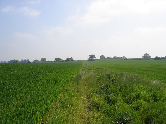
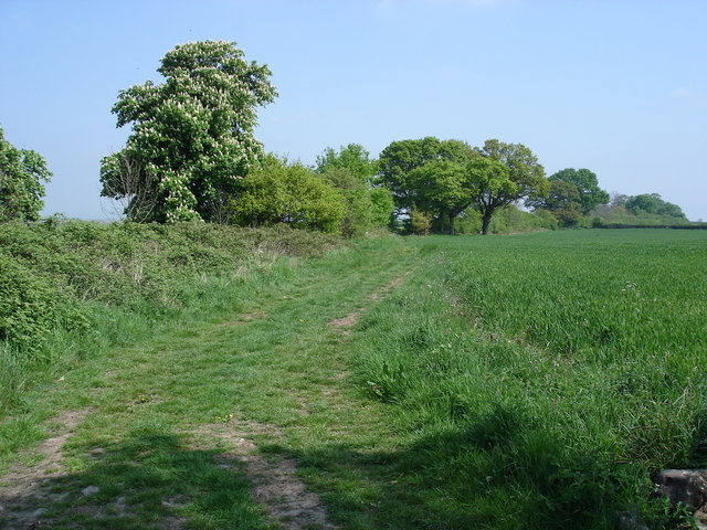
The plantation boasts a variety of tree species, including oak, birch, beech, and pine, creating a diverse and vibrant ecosystem. The woodland is meticulously maintained, with well-maintained paths and trails that allow visitors to explore the area while enjoying the natural beauty surrounding them.
Hew Bank Plantations is not only a haven for nature enthusiasts but also a sanctuary for a wide range of wildlife. The forest is home to numerous bird species, including woodpeckers, owls, and various songbirds. It is not uncommon to spot deer, foxes, and rabbits roaming freely within the plantation.
Visitors to Hew Bank Plantations can partake in various recreational activities such as hiking, birdwatching, and photography. The tranquil atmosphere and breathtaking scenery make it an ideal spot for those seeking solace and a connection with nature.
The plantation offers ample parking facilities and amenities such as picnic areas and benches for visitors to relax and soak in the peaceful surroundings. It is a popular destination for both locals and tourists, particularly during the autumn months when the vibrant foliage creates a mesmerizing display of colors.
Overall, Hew Bank Plantations in Yorkshire is a captivating woodland that offers a tranquil escape from the hustle and bustle of everyday life, providing visitors with a unique opportunity to immerse themselves in the natural beauty of the Yorkshire Dales.
If you have any feedback on the listing, please let us know in the comments section below.
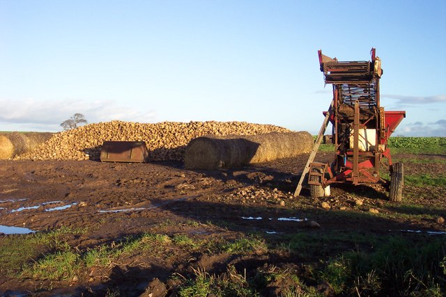
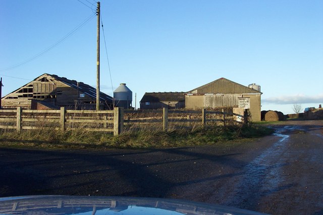
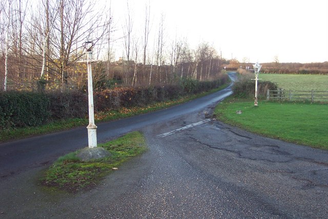
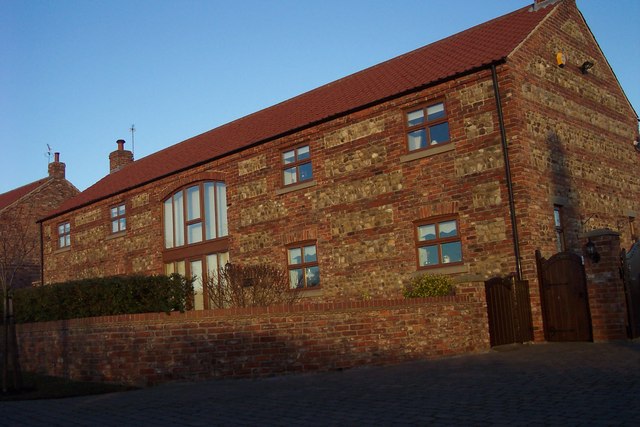
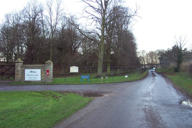
Hew Bank Plantations Images
Images are sourced within 2km of 54.018216/-1.3628086 or Grid Reference SE4158. Thanks to Geograph Open Source API. All images are credited.
Hew Bank Plantations is located at Grid Ref: SE4158 (Lat: 54.018216, Lng: -1.3628086)
Division: West Riding
Administrative County: North Yorkshire
District: Harrogate
Police Authority: North Yorkshire
What 3 Words
///quit.dictation.hurls. Near Knaresborough, North Yorkshire
Related Wikis

Allerton Mauleverer
Allerton Mauleverer is a village in North Yorkshire, England. It is part of the Allerton Mauleverer with Hopperton parish. The parish is in the district...
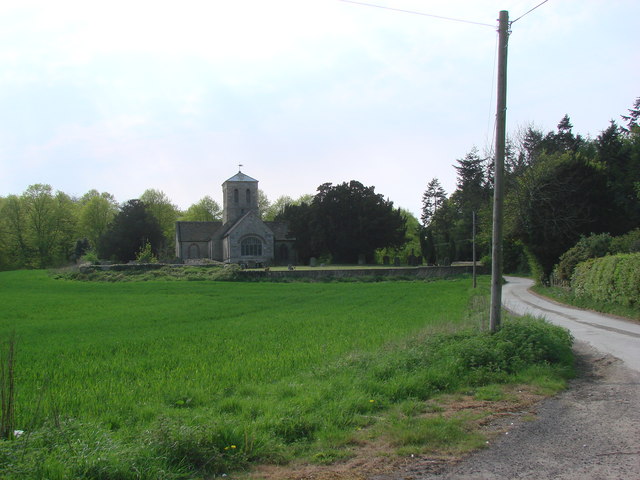
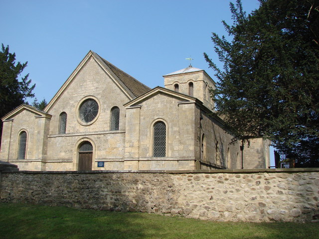
St Martin's Church, Allerton Mauleverer
St Martin's Church is a historic Anglican church in the village of Allerton Mauleverer, North Yorkshire, England. It is recorded in the National Heritage...

Allerton Castle
Allerton Castle, also known as Allerton Park, is a Grade I listed nineteenth-century Gothic or Victorian Gothic house at Allerton Mauleverer in North Yorkshire...

Allerton Mauleverer Priory
Allerton Mauleverer Priory was a medieval monastic house in North Yorkshire, England. The site is in Allerton Mauleverer with Hopperton Parish in the Harrogate...
Allerton Mauleverer with Hopperton
Allerton Mauleverer with Hopperton is a civil parish in North Yorkshire, England. At the 2011 Census, the parish had a population of 150, an increase from...

Claro Wapentake
Claro was a wapentake of the West Riding of Yorkshire, England. It was split into two divisions. The Upper Division included the parishes of Farnham...

Hopperton
Hopperton is a village in the Harrogate district of North Yorkshire, England. It is part of the Allerton Mauleverer with Hopperton parish. The village...

Allerton waste recovery park
Allerton waste recovery park is a waste recovery and incineration site located on a former quarry at Allerton Mauleverer, near Knaresborough, England....
Nearby Amenities
Located within 500m of 54.018216,-1.3628086Have you been to Hew Bank Plantations?
Leave your review of Hew Bank Plantations below (or comments, questions and feedback).