Berring's Wood
Wood, Forest in Oxfordshire West Oxfordshire
England
Berring's Wood

Berring's Wood is a picturesque forest located in Oxfordshire, England. Covering an area of approximately 200 acres, it is a well-preserved example of ancient woodland. The wood is situated near the village of Berring, which is renowned for its natural beauty and tranquil surroundings.
The forest is predominantly composed of broadleaf trees such as oak, beech, and ash, creating a diverse and lush canopy. The woodland floor boasts a rich variety of flora, including bluebells, wild garlic, and primroses, which carpet the ground during the spring months, adding a burst of vibrant color to the landscape. The wood is also home to various species of fungi, adding to its ecological significance.
Berring's Wood is not only visually stunning but also serves as an important habitat for a wide range of wildlife. Numerous bird species, including woodpeckers, owls, and various songbirds, can be spotted within the forest. Additionally, the wood is inhabited by mammals such as deer, foxes, and badgers, making it a haven for nature enthusiasts and wildlife photographers.
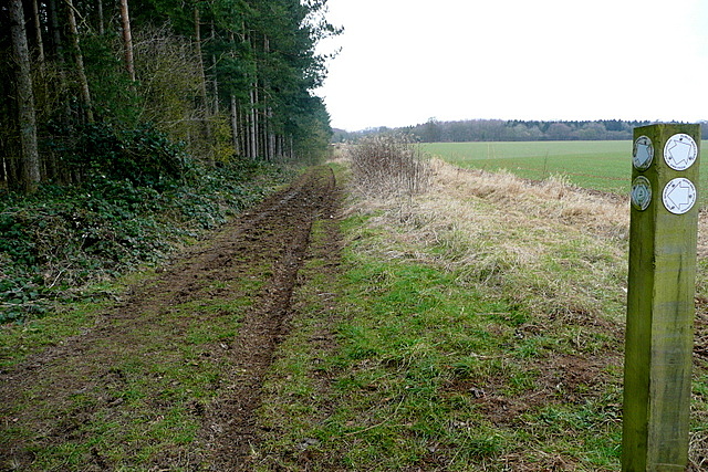
The wood offers several walking trails and footpaths, allowing visitors to explore its beauty at their own pace. It is a popular destination for hikers, nature lovers, and families seeking a peaceful retreat from the bustling city life. Berring's Wood truly encapsulates the idyllic charm of Oxfordshire's countryside, offering a serene escape into nature.
If you have any feedback on the listing, please let us know in the comments section below.
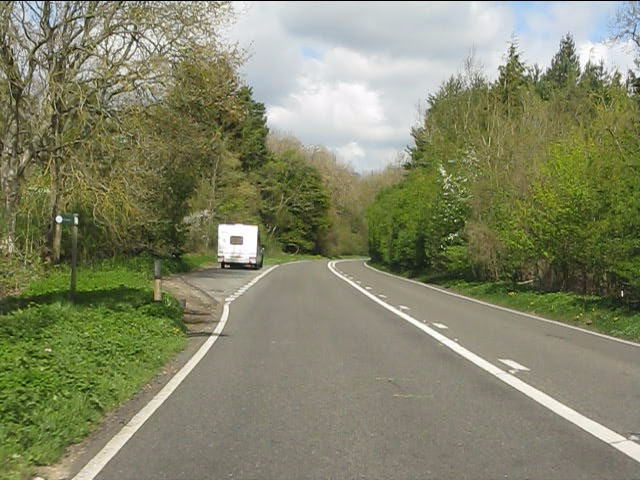
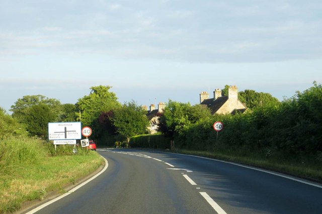
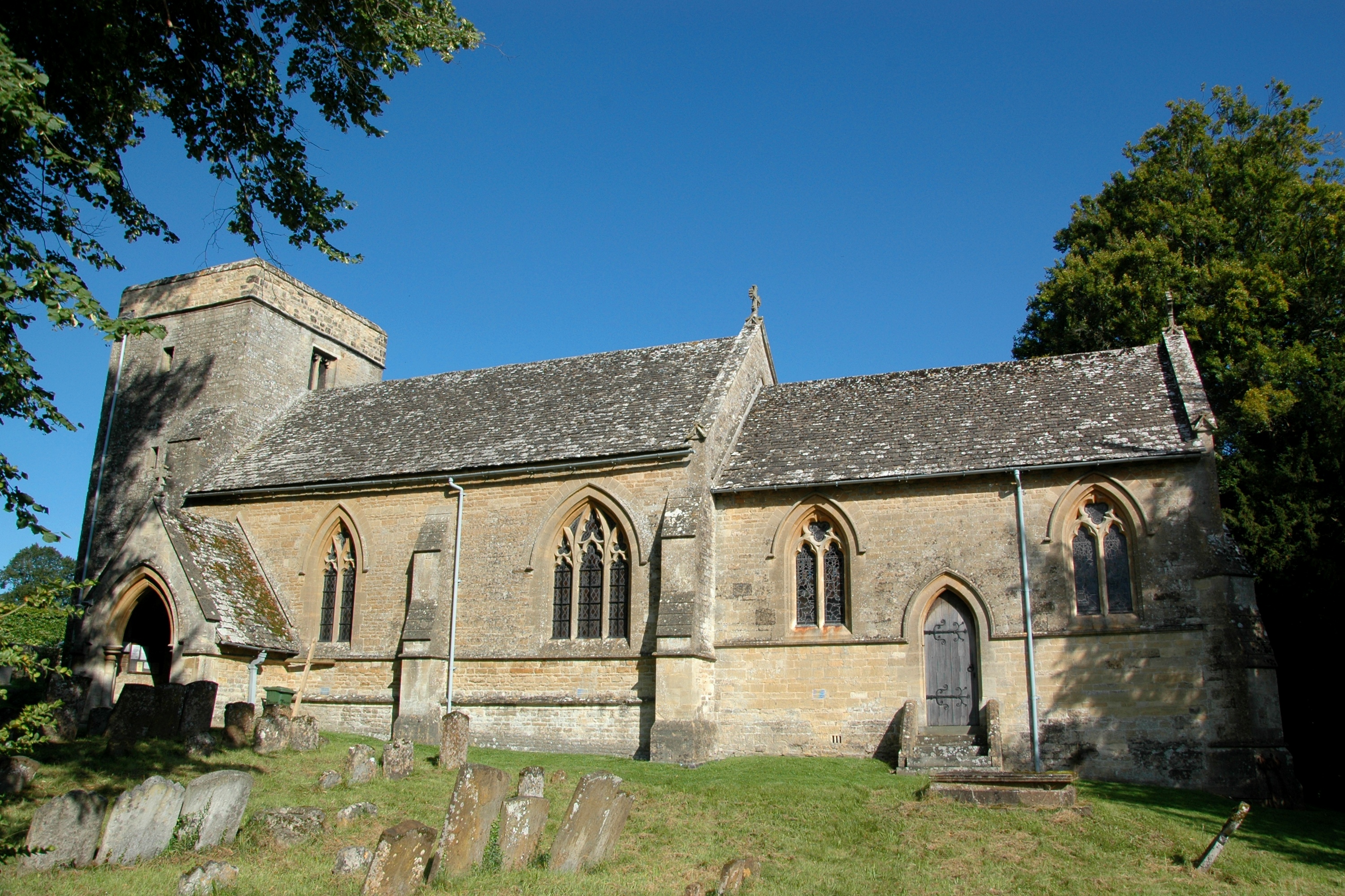
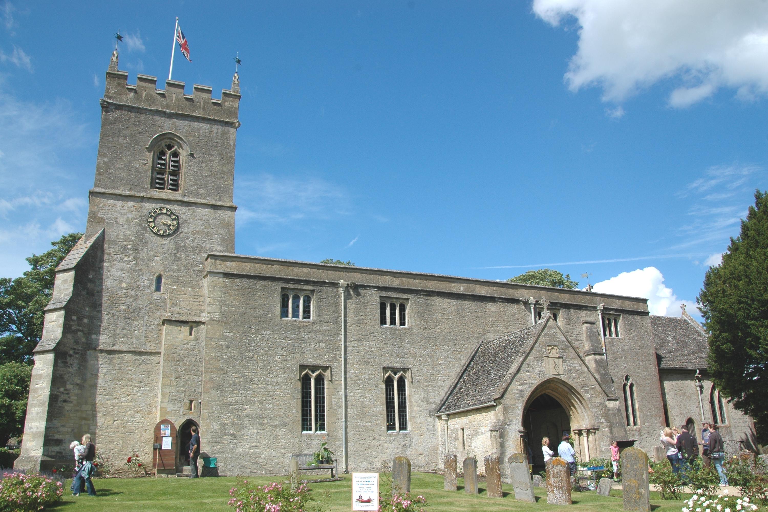
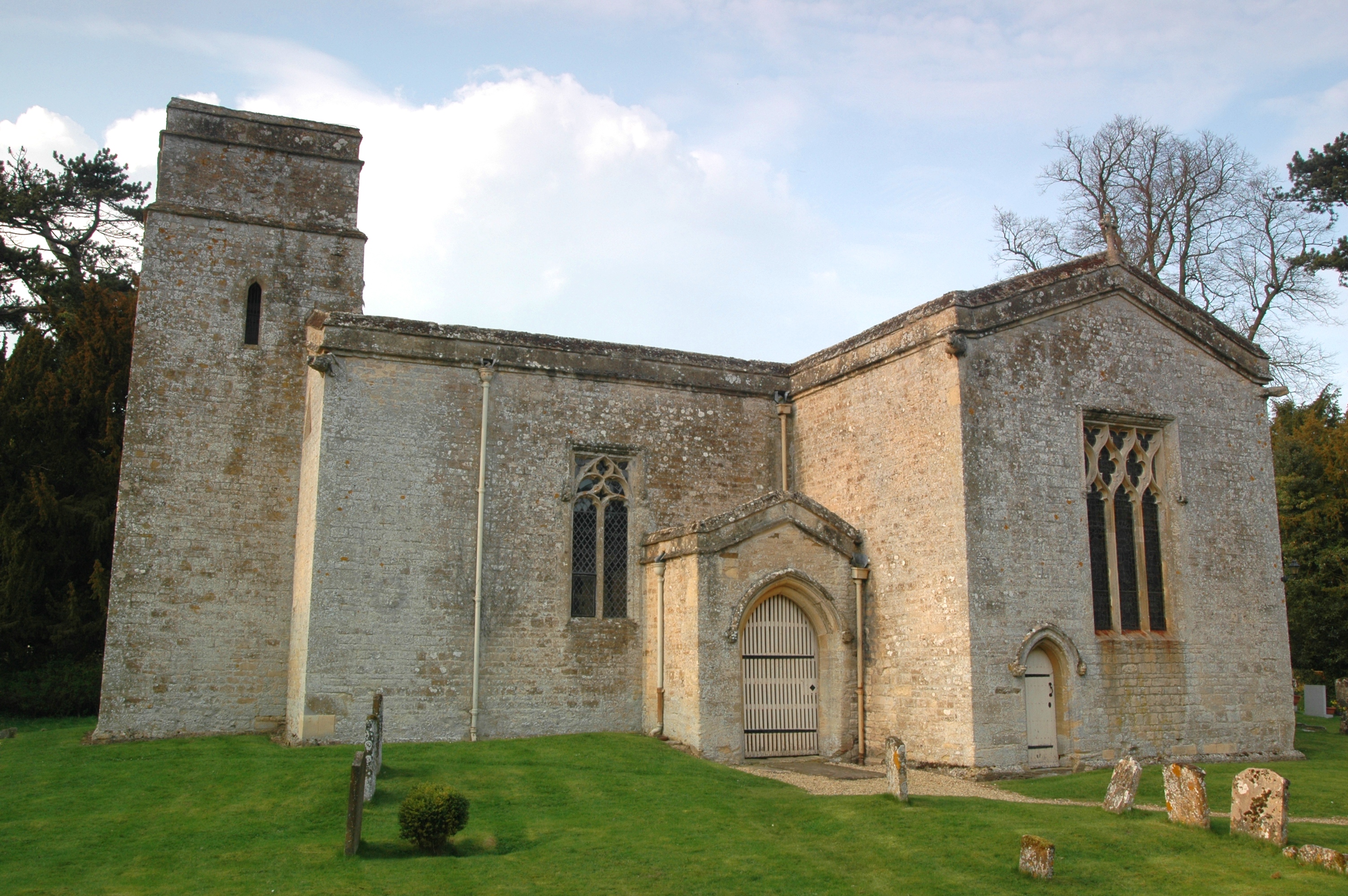
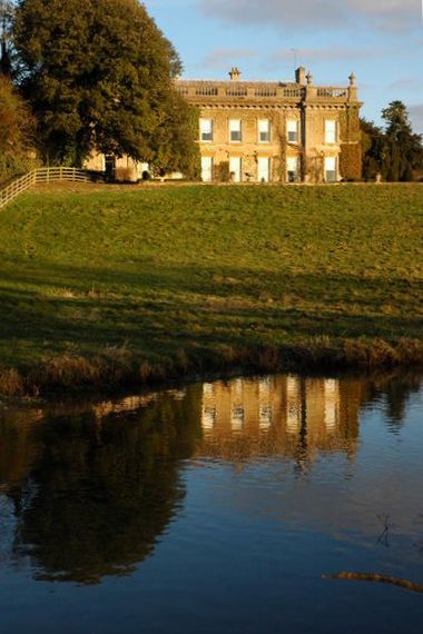
Berring's Wood Images
Images are sourced within 2km of 51.88239/-1.3934188 or Grid Reference SP4120. Thanks to Geograph Open Source API. All images are credited.


Berring's Wood is located at Grid Ref: SP4120 (Lat: 51.88239, Lng: -1.3934188)
Administrative County: Oxfordshire
District: West Oxfordshire
Police Authority: Thames Valley
What 3 Words
///hexes.game.lamppost. Near Stonesfield, Oxfordshire
Nearby Locations
Related Wikis

Out Wood
Out Wood is a 19.2-hectare (47-acre) biological Site of Special Scientific Interest east of Charlbury in Oxfordshire.This semi-natural wood is a surviving...

Glympton Park
Glympton Park is a former deer park at Glympton, 3.5 miles (5.6 km) north of Woodstock, Oxfordshire, England. It includes Glympton House (an 18th-century...
Glympton
Glympton is a village and civil parish on the River Glyme about 3 miles (5 km) north of Woodstock, Oxfordshire. The 2001 Census recorded the parish's population...

Over Kiddington
Over Kiddington is a hamlet in the civil parish of Kiddington with Asterleigh in Oxfordshire, England, about 7 miles (11 km) southeast of Chipping Norton...
Wootton, West Oxfordshire
Wootton is a village and civil parish on the River Glyme about 2 miles (3 km) north of Woodstock, Oxfordshire. In recent years the village is sometimes...
Asterleigh
Asterleigh, sometimes in the past called Esterley, is a farm and deserted medieval village about 3 miles (4.8 km) northeast of Charlbury in Oxfordshire...
Kiddington
Kiddington is a village in the civil parish of Kiddington with Asterleigh, in the West Oxfordshire district, in the county of Oxfordshire, England. The...
Kiddington Hall
Kiddington Hall is a large Grade II listed manor house located in Kiddington, near Woodstock, Oxfordshire, England. == History == Kiddington Hall was built...
Nearby Amenities
Located within 500m of 51.88239,-1.3934188Have you been to Berring's Wood?
Leave your review of Berring's Wood below (or comments, questions and feedback).