Near Park
Downs, Moorland in Yorkshire Harrogate
England
Near Park

Near Park is a picturesque area located in Yorkshire, England. Situated amidst the stunning landscapes of the Yorkshire Downs and Moorland, this region offers a serene and idyllic setting for nature enthusiasts and outdoor adventurers alike.
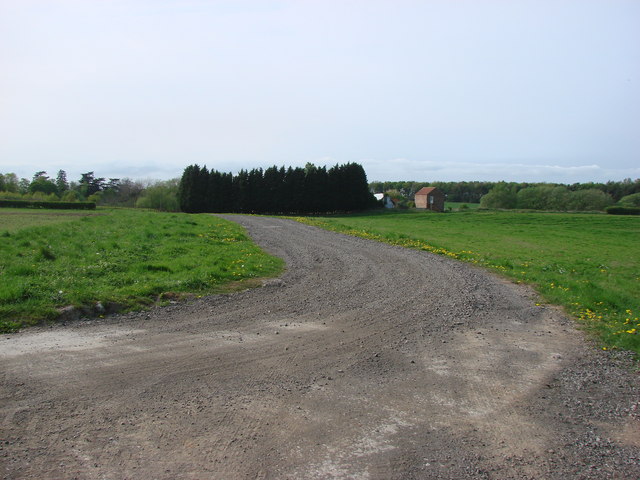
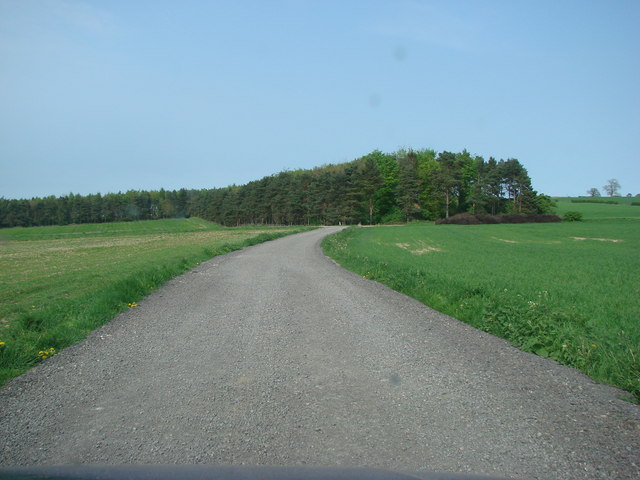
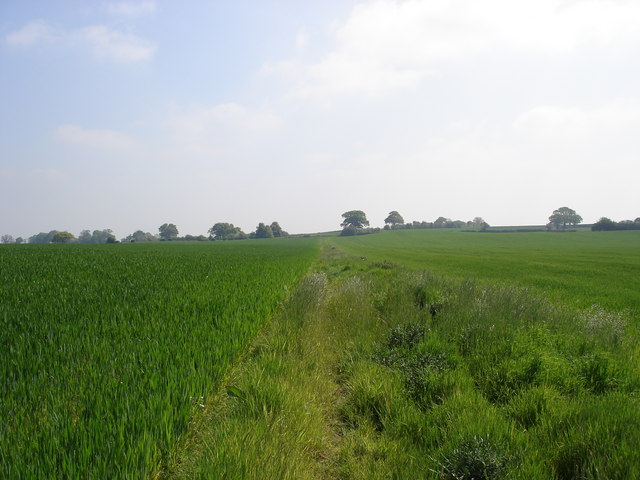
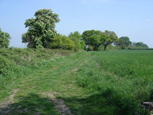
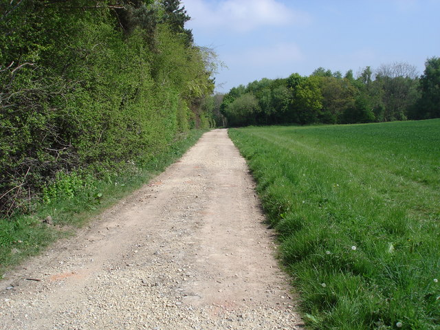
The Yorkshire Downs, known for their rolling hills and expansive green meadows, surround Near Park, providing breathtaking vistas and ample opportunities for hiking, walking, and cycling. The area is also home to a diverse range of flora and fauna, including wildflowers, birds, and small mammals, making it a haven for nature lovers.
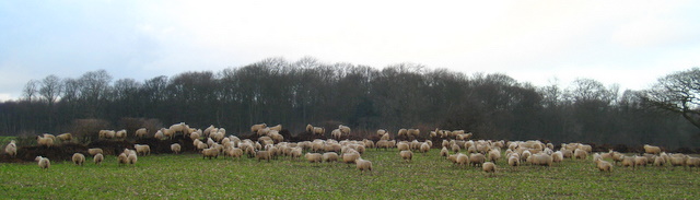
Adjacent to the Downs, the Moorland adds its own unique charm to Near Park. Characterized by vast stretches of open heathland, heather-covered hills, and scattered rocky outcrops, the moorland offers a rugged and untamed beauty. It is a popular destination for birdwatching, as it houses a variety of bird species, including grouse, curlew, and peregrine falcons.
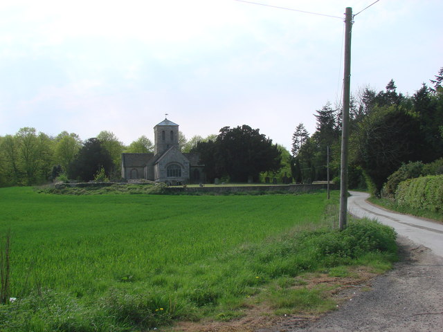
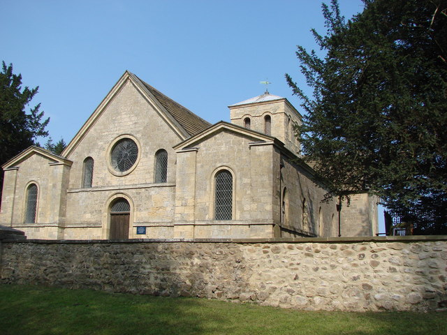
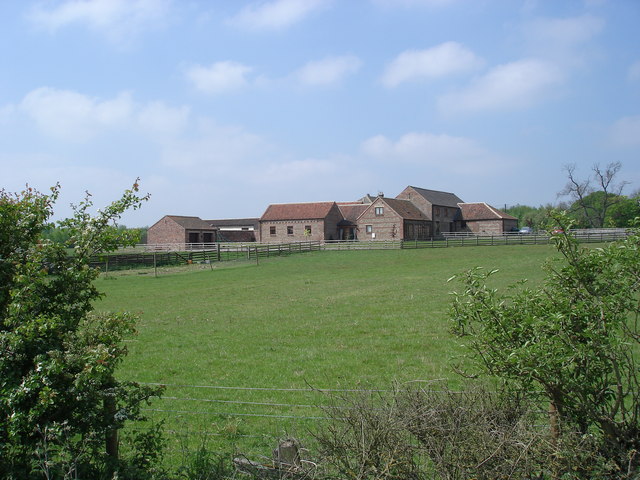
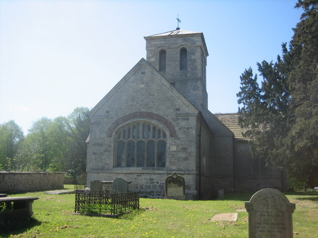
Near Park itself is a small, quaint village that embodies traditional Yorkshire charm. The village features quaint cottages, a village green, and a centuries-old church, giving visitors a glimpse into the region's rich history and heritage.
For those seeking a peaceful retreat, Near Park offers a range of accommodation options, including cozy bed and breakfasts and self-catering cottages. Additionally, there are several traditional country pubs and restaurants in the area, serving up hearty Yorkshire fare and locally brewed ales.
Overall, Near Park, Yorkshire (Downs, Moorland) is a haven for nature lovers and those seeking a tranquil escape amidst the stunning landscapes of the Yorkshire Downs and Moorland.
If you have any feedback on the listing, please let us know in the comments section below.
Near Park Images
Images are sourced within 2km of 54.023454/-1.3745124 or Grid Reference SE4158. Thanks to Geograph Open Source API. All images are credited.
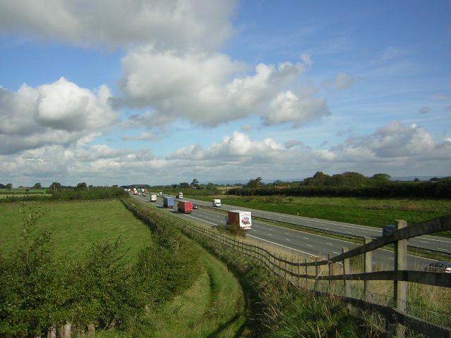
![A168 at Allerton Park The A168 runs parallel with the A1[M] at this point, using the south bound carriageway of the old A1. The wall to the right is the boundary of Allerton Park.](https://s2.geograph.org.uk/geophotos/01/06/31/1063142_0f4233fc.jpg)
Near Park is located at Grid Ref: SE4158 (Lat: 54.023454, Lng: -1.3745124)
Division: West Riding
Administrative County: North Yorkshire
District: Harrogate
Police Authority: North Yorkshire
What 3 Words
///relating.offstage.conquest. Near Knaresborough, North Yorkshire
Related Wikis

Allerton Castle
Allerton Castle, also known as Allerton Park, is a Grade I listed nineteenth-century Gothic or Victorian Gothic house at Allerton Mauleverer in North Yorkshire...

Allerton Mauleverer
Allerton Mauleverer is a village in North Yorkshire, England. It is part of the Allerton Mauleverer with Hopperton parish. The parish is in the district...
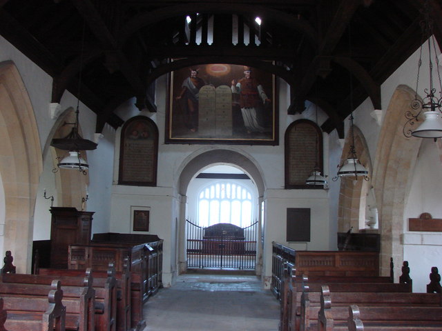
St Martin's Church, Allerton Mauleverer
St Martin's Church is a historic Anglican church in the village of Allerton Mauleverer, North Yorkshire, England. It is recorded in the National Heritage...

Allerton Mauleverer Priory
Allerton Mauleverer Priory was a medieval monastic house in North Yorkshire, England. The site is in Allerton Mauleverer with Hopperton Parish in the Harrogate...

Allerton waste recovery park
Allerton waste recovery park is a waste recovery and incineration site located on a former quarry at Allerton Mauleverer, near Knaresborough, England....
Allerton Mauleverer with Hopperton
Allerton Mauleverer with Hopperton is a civil parish in North Yorkshire, England. At the 2011 Census, the parish had a population of 150, an increase from...

Flaxby
Flaxby is a village and civil parish in the Harrogate district of North Yorkshire, England. It is close to the A1(M) motorway and 2 miles (3.2 km) east...

Claro Wapentake
Claro was a wapentake of the West Riding of Yorkshire, England. It was split into two divisions. The Upper Division included the parishes of Farnham...
Have you been to Near Park?
Leave your review of Near Park below (or comments, questions and feedback).