Scotland Plantation

Wood, Forest in Oxfordshire West Oxfordshire

England

Scotland Plantation

Working in the fields at Over Worton in 1948 I'm fairly confident that this is the exact location of this image however, I would be grateful for any alternative suggestions.
Working in the fields at Over Worton in 1948 Credit: Antony Ewart Smith

Scotland Plantation is a picturesque woodland located in Oxfordshire, England. Situated in the heart of the county, the plantation covers a vast area and is renowned for its natural beauty and rich biodiversity. The name "Scotland Plantation" is derived from the area's historical connection to the Scottish settlers who once inhabited the region.

The woodland is predominantly composed of native tree species, including oak, beech, and birch, which form a dense canopy that provides a haven for a wide variety of wildlife. The tranquility of the plantation is enhanced by the gentle rustling of leaves and the melodic songs of birds that inhabit the area.

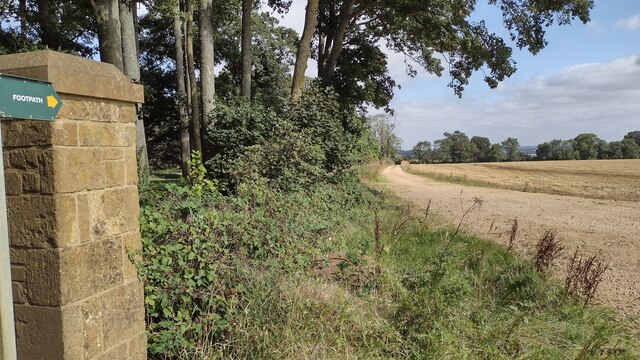
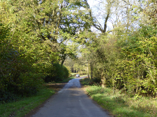
Numerous walking trails crisscross the woodland, allowing visitors to explore and immerse themselves in its natural wonders. The pathways wind through ancient groves, carpeted with vibrant wildflowers during the spring and summer months. Along the trails, one may come across streams and small ponds, adding to the charm and serenity of the plantation.

Scotland Plantation also holds significance for its role in conservation efforts. The woodland serves as a sanctuary for several rare and endangered species, including the red squirrel and the lesser spotted woodpecker. Conservationists and nature enthusiasts often frequent the area to observe and study the unique flora and fauna that thrive within its borders.

Overall, Scotland Plantation is a cherished natural gem in Oxfordshire, offering visitors a peaceful retreat in the midst of nature's splendor.

If you have any feedback on the listing, please let us know in the comments section below.

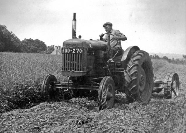
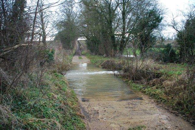
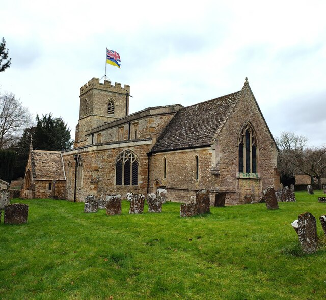
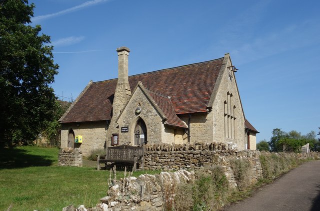
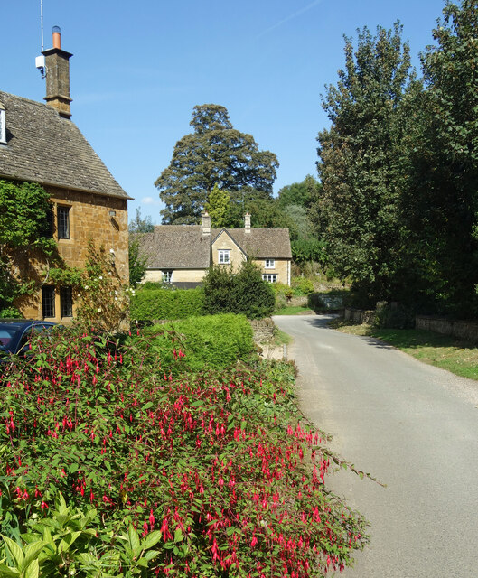
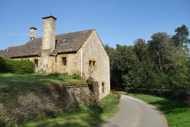
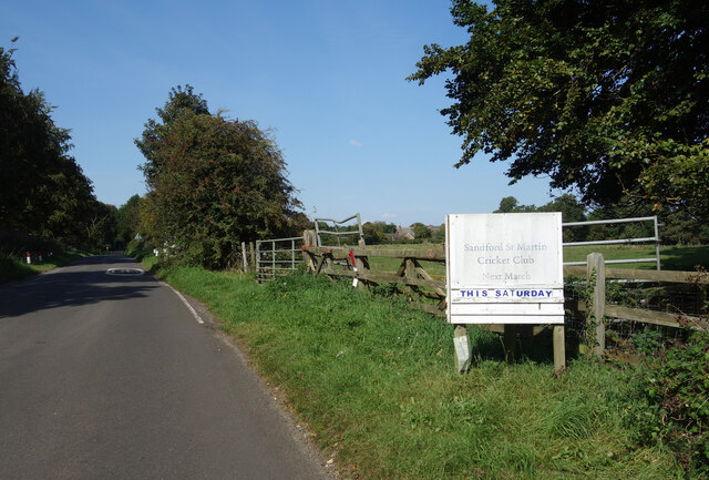
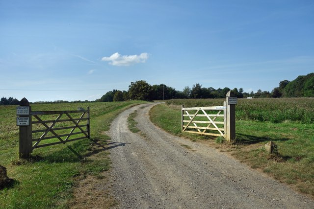
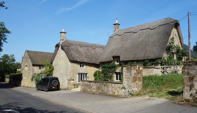
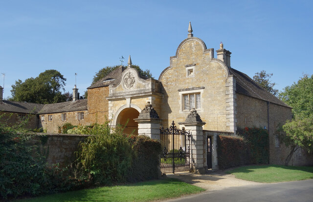
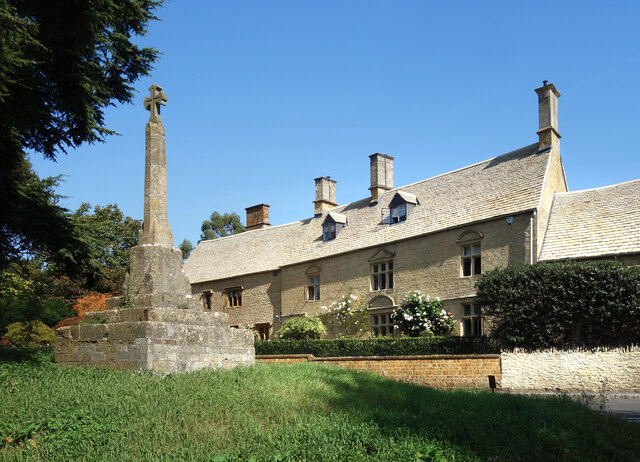
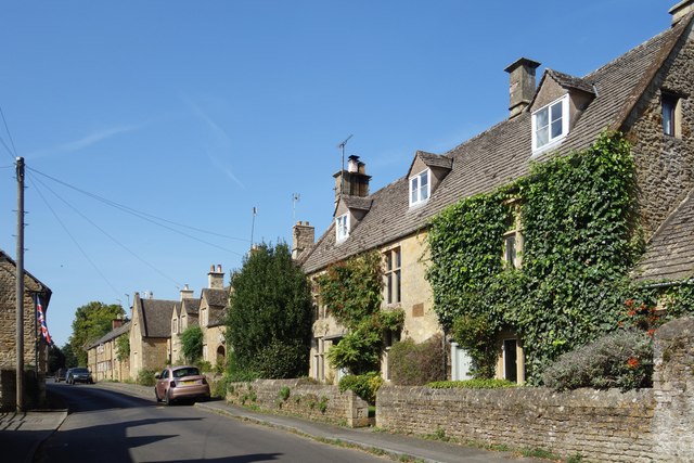
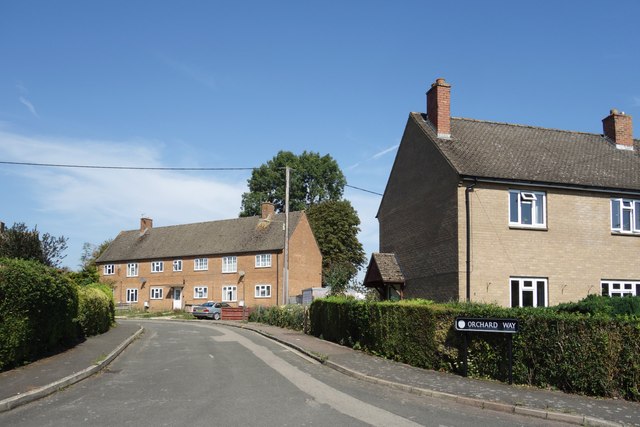
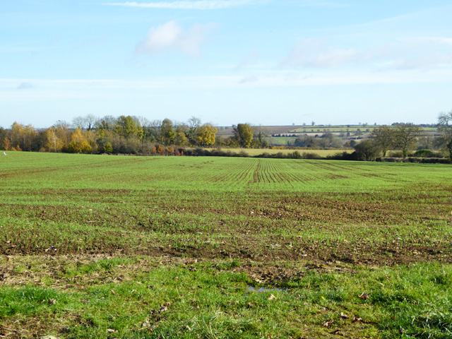
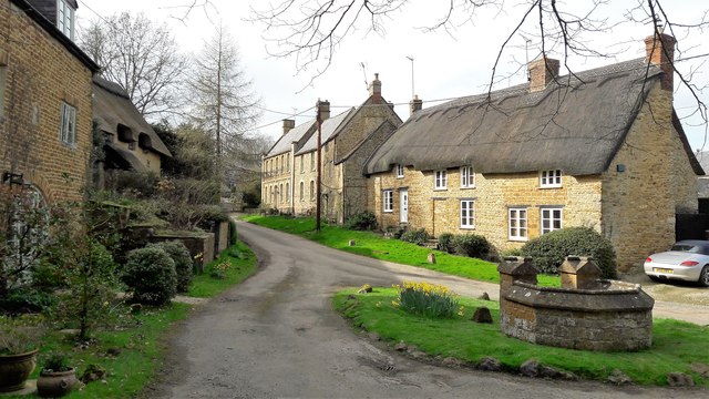
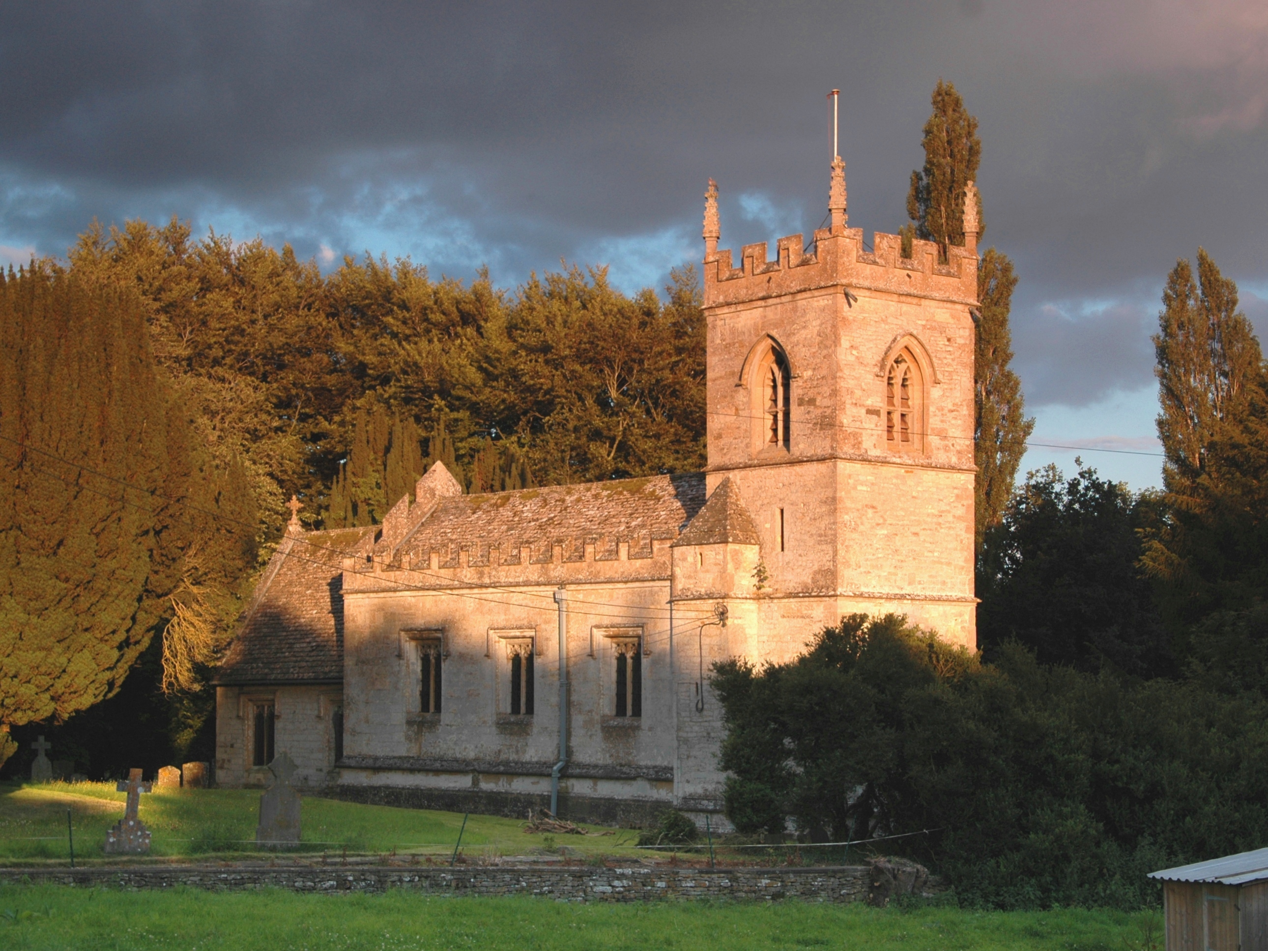
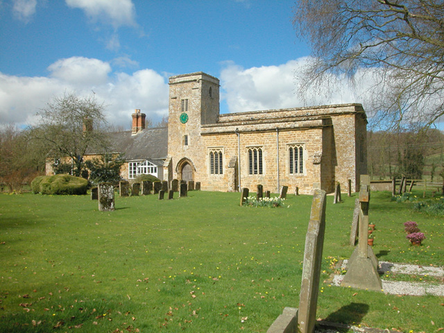
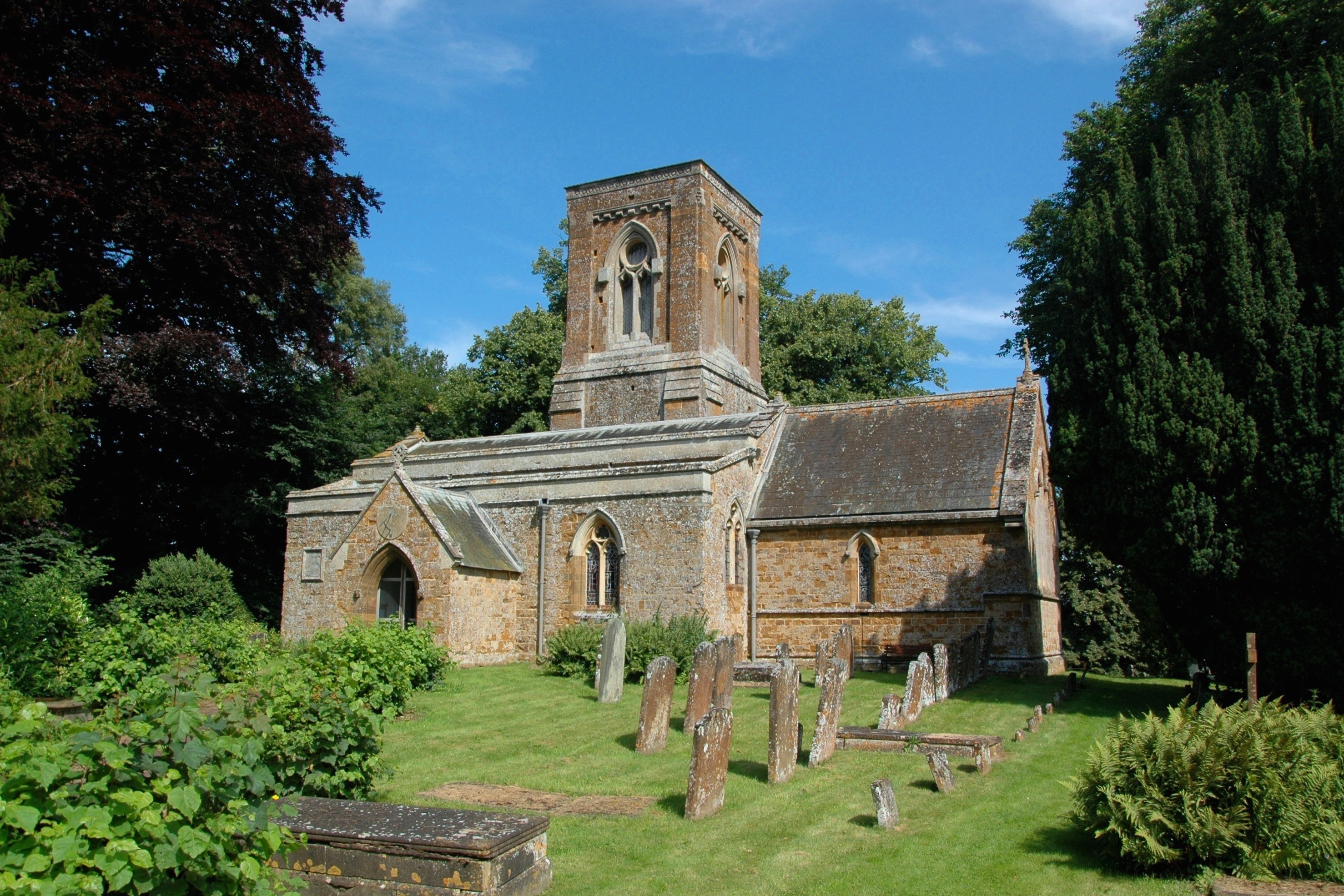
Scotland Plantation Images

Images are sourced within 2km of 51.942554/-1.3928261 or Grid Reference SP4127. Thanks to Geograph Open Source API. All images are credited.

Working in the fields at Over Worton in 1948 I'm fairly confident that this is the exact location of this image however, I would be grateful for any alternative suggestions.
Working in the fields at Over Worton in 1948
I'm fairly confident that this is the exact location of this image however, I would be grateful for any alternative suggestions.
Poor Bridge Ford, Great Tew This ford is known as Poor Bridge Ford close to the Great Tew estate.
Poor Bridge Ford, Great Tew
This ford is known as Poor Bridge Ford close to the Great Tew estate.
Path heading to Nether Worton Off Ledwell Lane the path alongside Great Tew Park heading to Nether Worton
Path heading to Nether Worton
Off Ledwell Lane the path alongside Great Tew Park heading to Nether Worton
St Martin's Church, Sandford St Martin
Sandford Parish Hall The parish hall is at the north end of the village, which was just called Sandford until 1884 when the St Martin bit was added to avoid confusion with other Sandfords in the county.
Sandford Parish Hall
The parish hall is at the north end of the village, which was just called Sandford until 1884 when the St Martin bit was added to avoid confusion with other Sandfords in the county.
Flowers on the Wall, Mill Lane A quiet and picturesque corner of Sandford St Martin down by the mill on the River Dorn.
Flowers on the Wall, Mill Lane
A quiet and picturesque corner of Sandford St Martin down by the mill on the River Dorn.
Sandford Mill
Sandford Mill
Next Match This Saturday Opposite the entrance to Sandford St Martin Cricket Club at the north end of the village.
Next Match This Saturday
Opposite the entrance to Sandford St Martin Cricket Club at the north end of the village.
Entrance to Sandford Cricket Ground The cricket field is a short distance from the road.
Entrance to Sandford Cricket Ground
The cricket field is a short distance from the road.
Thatched Houses, Sandford St Martin Along Ledwell Road. Just some of this village's stock of attractive old Cotswold stone buildings.
Thatched Houses, Sandford St Martin
Along Ledwell Road. Just some of this village's stock of attractive old Cotswold stone buildings.
Gates to Sandford Park A country house and garden on the west side of Sandford St Martin. The buildings seen here are on the north side of a courtyard facing the main house and date from the 18th and 19th centuries.
Gates to Sandford Park
A country house and garden on the west side of Sandford St Martin. The buildings seen here are on the north side of a courtyard facing the main house and date from the 18th and 19th centuries.
Brandon House, and Cross A large former farmhouse from the 17th century. Listing on <span class="nowrap"><a title="https://historicengland.org.uk/listing/the-list/list-entry/1052507?section=official-list-entry" rel="nofollow ugc noopener" href="https://historicengland.org.uk/listing/the-list/list-entry/1052507?section=official-list-entry">Link</a><img style="margin-left:2px;" alt="External link" title="External link - shift click to open in new window" src="https://s1.geograph.org.uk/img/external.png" width="10" height="10"/></span>
The cross is medieval, restored in 1856.
Brandon House, and Cross
A large former farmhouse from the 17th century. Listing on LinkExternal link The cross is medieval, restored in 1856.
Manor Road, Sandford St Martin The main road through the village, for the most part lined with traditional buildings of Cotswold stone.
Manor Road, Sandford St Martin
The main road through the village, for the most part lined with traditional buildings of Cotswold stone.
Hillside Road, Middle Barton
Orchard Way, Middle Barton
Farmland north of Middle Barton A view east.
Farmland north of Middle Barton
A view east.
Lane through Worton Wood The way from Middle Barton to Over Worton.
Lane through Worton Wood
The way from Middle Barton to Over Worton.
The well close, Ledwell The well close is my name for this charming nest of cottages around the well head.  The whole hamlet of Ledwell is a dead end for motor vehicles.
The well close, Ledwell
The well close is my name for this charming nest of cottages around the well head. The whole hamlet of Ledwell is a dead end for motor vehicles.
Show me another place!

Scotland Plantation is located at Grid Ref: SP4127 (Lat: 51.942554, Lng: -1.3928261)

Administrative County: Oxfordshire

District: West Oxfordshire

Police Authority: Thames Valley

What 3 Words

///lyricism.gender.reds. Near Deddington, Oxfordshire

Related Wikis

Related Videos

SOHO FARMHOUSE OXFORDSHIRE PIGLET ROOM TOUR | Soki Travels

Qatar Q Suite: https://youtu.be/Jsa1US9d3mU Jordan Travel Vlog: https://youtu.be/BZiecbuGEic See the rest of my travel ...

WOOW!!! - UK's most EXCLUSIVE Hotel - Soho Farmhouse

Our staycation at UK's most Exclusive hotel. Tour of the grounds and their famous 2 bed cabin on a lake. Dining in their ...

Nearby Amenities

Located within 500m of 51.942554,-1.3928261
Community Centre
Sandford Parish Hall
Lat/Long: 51.9397939/-1.390505
Power: pole
Lat/Long: 51.9447291/-1.3874814
Power: pole
Lat/Long: 51.944514/-1.3886744
Power: pole
Lat/Long: 51.9443123/-1.3897184
Power: pole
Lat/Long: 51.9435275/-1.3916309
Power: pole
Lat/Long: 51.9438168/-1.3909258
Power: pole
Lat/Long: 51.9428777/-1.3945546
Power: pole
Lat/Long: 51.9431558/-1.3925691
Power: pole
Lat/Long: 51.9429377/-1.3956765
Power: pole
Lat/Long: 51.942978/-1.3968144
Power: pole
Lat/Long: 51.943014/-1.3977381
Power: pole
Lat/Long: 51.9430478/-1.398676
Defibrillator
Access: yes
Defibrillator Location: Outside wall of parish hall
Emergency: defibrillator
Level: 0
Lat/Long: 51.9398102/-1.3905554
The data included in this document is from www.openstreetmap.org. The data is made available under ODbL.

Have you been to Scotland Plantation?

Leave your review of Scotland Plantation below (or comments, questions and feedback).