Coombe Plantation
Wood, Forest in Berkshire
England
Coombe Plantation
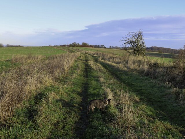
Coombe Plantation is a picturesque woodland area located in Berkshire, England. Situated in the heart of the county, this sprawling forest is a haven for nature enthusiasts and those seeking tranquility away from the bustling city life.
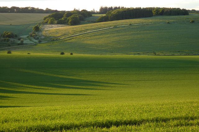
Covering an extensive area of approximately 500 acres, Coombe Plantation is home to a diverse range of flora and fauna. The woodland consists mainly of deciduous trees, such as oak, beech, and birch, which provide a stunning display of colors during autumn. The forest floor is carpeted with a variety of wildflowers and ferns, creating a magical and enchanting atmosphere.
Several walking trails meander through Coombe Plantation, offering visitors the opportunity to explore and immerse themselves in nature. These well-maintained paths wind through the forest, passing by babbling brooks, tranquil ponds, and ancient trees. The abundant wildlife in the area includes deer, foxes, squirrels, and a wide array of bird species, making it an ideal spot for birdwatchers and wildlife photographers.
Coombe Plantation also holds historical significance, with remnants of old stone walls and ruins scattered throughout the woodland. These remnants serve as a reminder of the plantation's rich past, which dates back several centuries.
Overall, Coombe Plantation in Berkshire is a hidden gem that offers visitors a chance to reconnect with nature. Its stunning beauty, diverse wildlife, and peaceful ambiance make it a perfect destination for a leisurely stroll, a family picnic, or a day spent exploring the great outdoors.
If you have any feedback on the listing, please let us know in the comments section below.
Coombe Plantation Images
Images are sourced within 2km of 51.537644/-1.3981403 or Grid Reference SU4182. Thanks to Geograph Open Source API. All images are credited.


Coombe Plantation is located at Grid Ref: SU4182 (Lat: 51.537644, Lng: -1.3981403)
Unitary Authority: West Berkshire
Police Authority: Thames Valley
What 3 Words
///skillet.sharpness.trample. Near Farnborough, Berkshire
Nearby Locations
Related Wikis
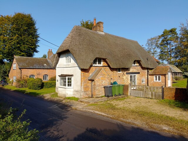
Farnborough, Berkshire
Farnborough is a village and civil parish in West Berkshire, about 4 miles (6.4 km) south of Wantage. The village is 720 feet (220 m) above sea level on...

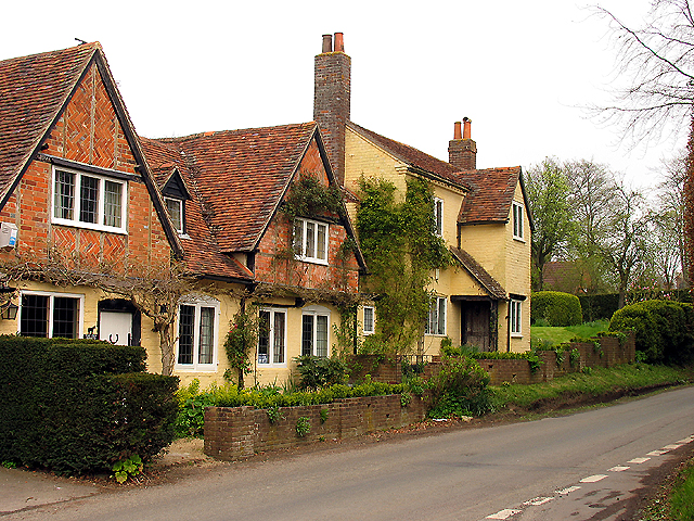
Brightwalton
Brightwalton is a village and civil parish in the Berkshire Downs centred 7 miles (11 km) NNW of Newbury in West Berkshire. == Parish church == The Church...
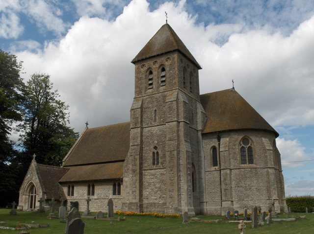
Fawley, Berkshire
Fawley is a village and civil parish in West Berkshire, England. The hub of the village is centred 3.5 miles (5.6 km) east of Lambourn and has a sub-community...

Brightwalton Green
Brightwalton Green is a hamlet in the civil parish of Brightwalton in the county of Berkshire, England. The settlement lies near to the A338 road, and...

Segsbury Camp
Segsbury Camp or Segsbury Castle is an Iron Age hillfort on the crest of the Berkshire Downs, near the Ridgeway above Wantage, in the Vale of White Horse...

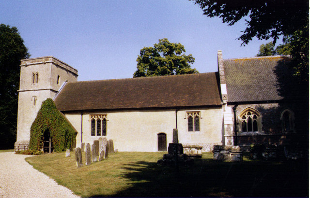
Catmore
Catmore is a civil parish and village in West Berkshire about 5+1⁄2 miles (9 km) southeast of Wantage. Catmore is in the Berkshire Downs and the centre...

The Ridgeway
The Ridgeway is a ridgeway or ancient trackway described as Britain's oldest road. The section clearly identified as an ancient trackway extends from Wiltshire...
Chaddleworth
Chaddleworth is a village and civil parish in the English county of Berkshire. == Geography == The village of Chaddleworth lies below the southern slopes...
Have you been to Coombe Plantation?
Leave your review of Coombe Plantation below (or comments, questions and feedback).