Conygree Wood
Wood, Forest in Oxfordshire West Oxfordshire
England
Conygree Wood
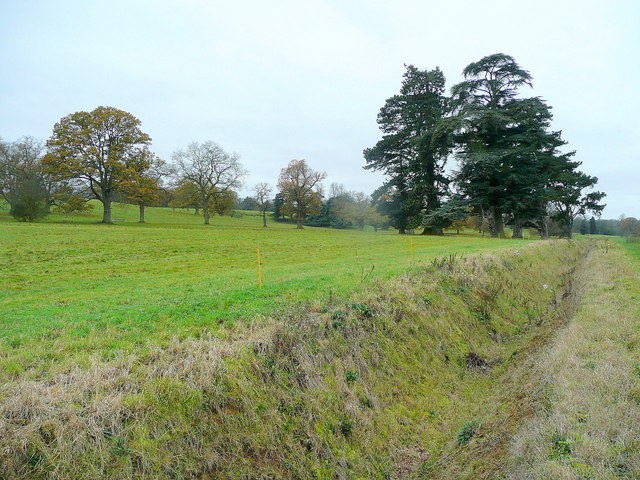
Conygree Wood is a picturesque woodland located in Oxfordshire, England. Situated near the village of Stanton Harcourt, this enchanting forest covers an area of approximately 10 hectares (25 acres). The wood is predominantly composed of broadleaf trees, including oak, ash, and beech, which create a dense canopy that provides shade and shelter to a diverse range of flora and fauna.
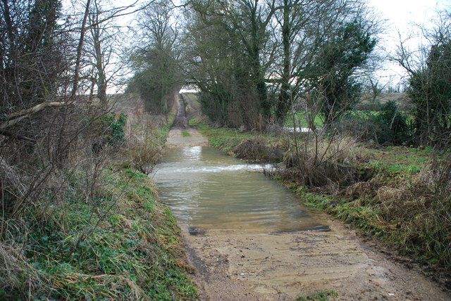
The woodland is bisected by a small stream, adding to its natural beauty and tranquility. The stream is home to various species of aquatic life, such as trout and water insects, which contribute to the overall biodiversity of the area. Visitors can enjoy the soothing sound of the running water as they explore the wood's well-maintained footpaths and trails.
Conygree Wood is a haven for wildlife, with an abundance of bird species, including woodpeckers, owls, and songbirds. The forest floor is carpeted with bluebells in the spring, creating a breathtaking display of color and fragrance. Other wildflowers, such as primroses and foxgloves, also bloom throughout the year, attracting butterflies and bees.
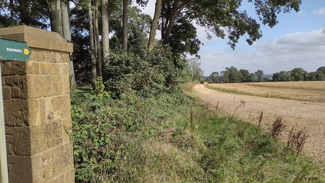
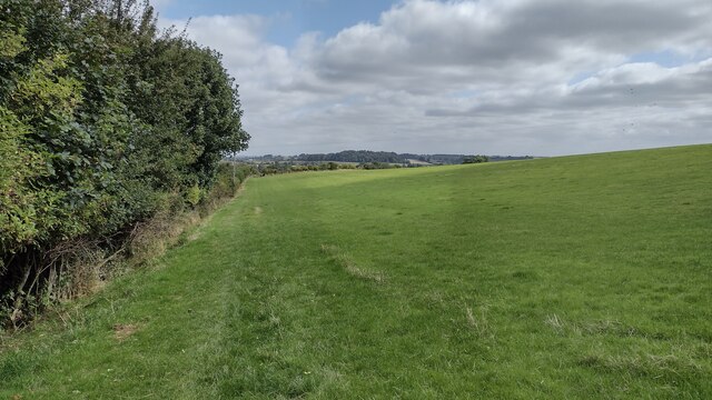
The wood is a popular destination for nature enthusiasts, hikers, and photographers, who are drawn to its serene atmosphere and natural beauty. It offers a peaceful retreat for those seeking solace in nature, with benches strategically placed to provide resting spots for tired walkers.
Conygree Wood is a true gem of Oxfordshire, a place where visitors can immerse themselves in the sights, sounds, and scents of a flourishing woodland ecosystem.
If you have any feedback on the listing, please let us know in the comments section below.
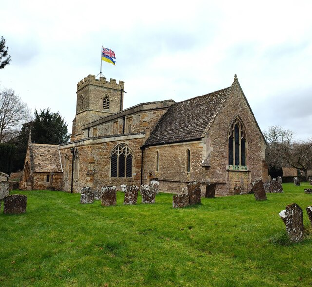
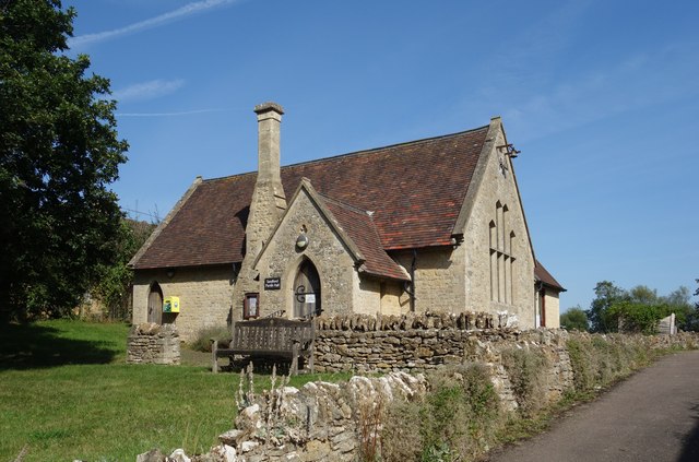
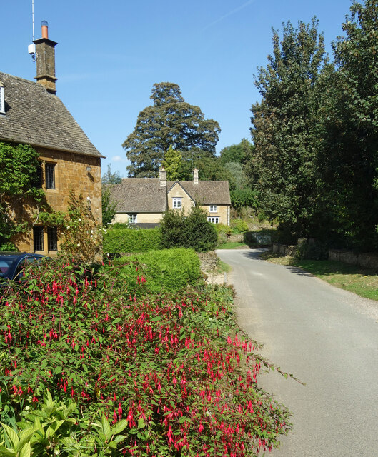
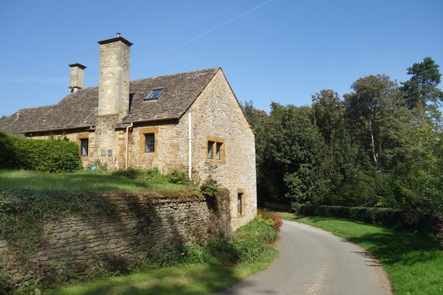
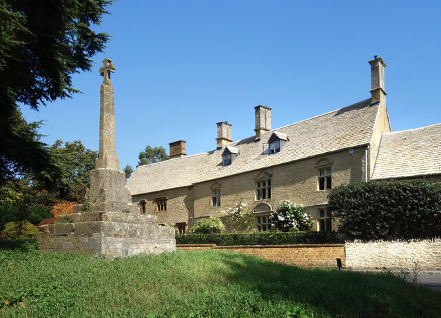
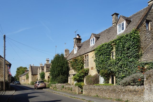
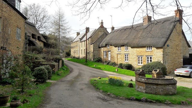
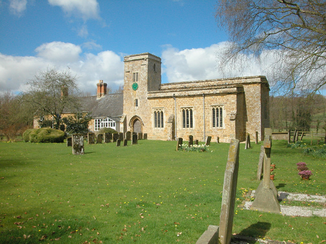
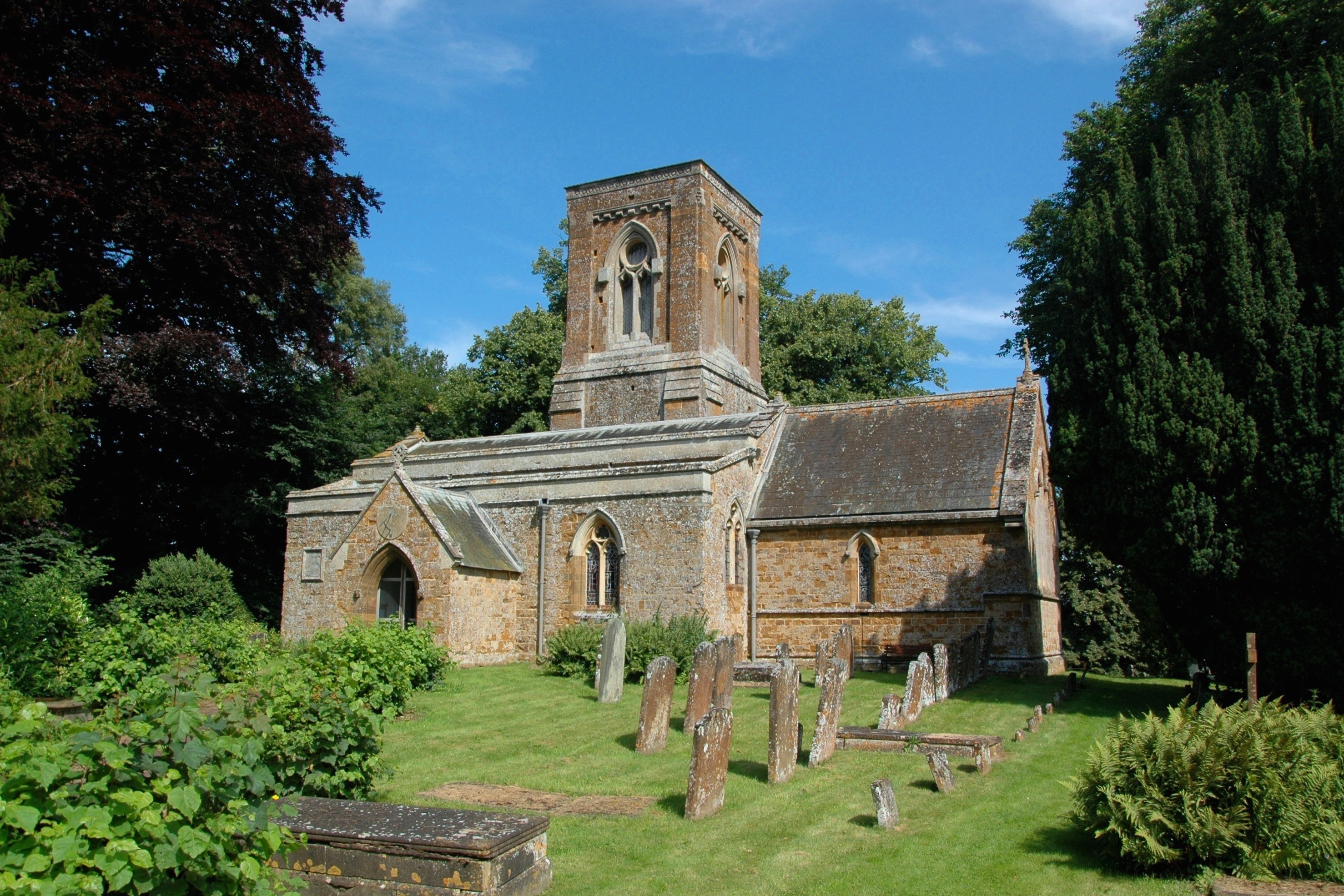
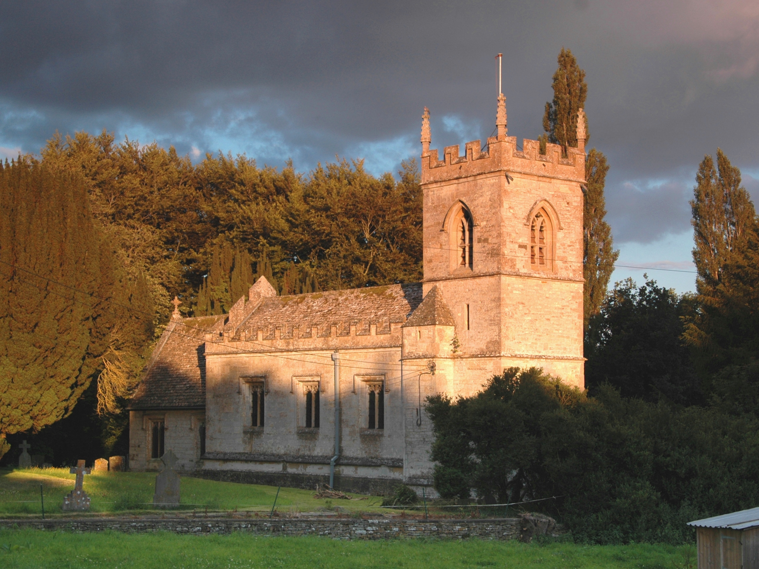
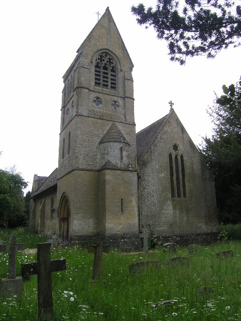
Conygree Wood Images
Images are sourced within 2km of 51.945767/-1.4039271 or Grid Reference SP4127. Thanks to Geograph Open Source API. All images are credited.


Conygree Wood is located at Grid Ref: SP4127 (Lat: 51.945767, Lng: -1.4039271)
Administrative County: Oxfordshire
District: West Oxfordshire
Police Authority: Thames Valley
What 3 Words
///compounds.daffodils.popped. Near Deddington, Oxfordshire
Nearby Locations
Related Wikis

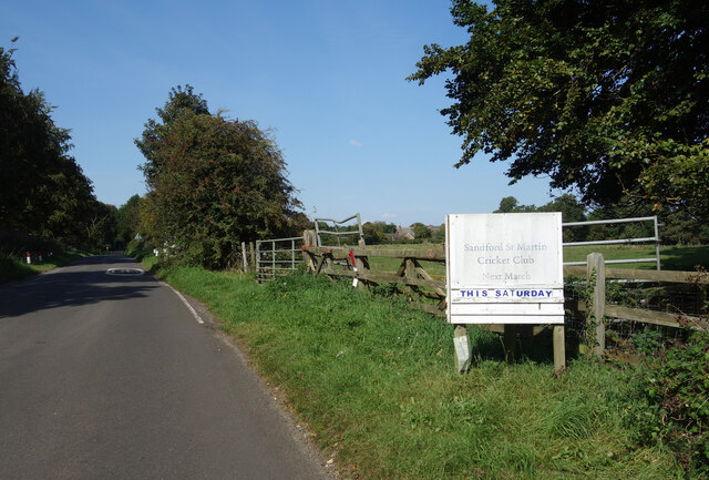
Sandford St Martin
Sandford St Martin is a village and civil parish in West Oxfordshire about 7 miles (11 km) east of Chipping Norton and about 12 miles (19 km) south of...
Nether Worton
Nether Worton is a hamlet in the civil parish of Worton, in the West Oxfordshire district, in the county of Oxfordshire, England. It is about 6+1⁄2 miles...

Worton (civil parish), Oxfordshire
Worton is a civil parish in the West Oxfordshire district about 7 miles (11 km) south of Banbury, England. It was formed in 1932 by the merger of the parishes...

Enstone Airfield
Enstone Aerodrome is a small unlicensed civilian airfield in England close to Enstone in Oxfordshire, which is currently used for microlights, light aircraft...
Over Worton
Over Worton is a hamlet in the civil parish of Worton, in the West Oxfordshire district, in the county of Oxfordshire, England, about 7 miles (11 km) south...

Gagingwell
Gagingwell is a hamlet in West Oxfordshire, about 6 miles (10 km) east of Chipping Norton and about 1.8 miles (3 km) east of Enstone. The hamlet surrounds...
Westcott Barton
Westcott Barton, also spelt Wescot Barton or Wescote Barton, is a village and civil parish on the River Dorn in West Oxfordshire about 7 miles (11 km)...
Little Tew
Little Tew is an English village and civil parish about 4+1⁄2 miles (7 km) northeast of Chipping Norton and 8+1⁄2 miles (14 km) southwest of Banbury in...
Nearby Amenities
Located within 500m of 51.945767,-1.4039271Have you been to Conygree Wood?
Leave your review of Conygree Wood below (or comments, questions and feedback).