Lawn Copse

Wood, Forest in Hampshire Winchester

England

Lawn Copse

Farmland, Sparsholt An oak marks the position of a former field boundary with Privet Copse above.
Farmland, Sparsholt Credit: Andrew Smith

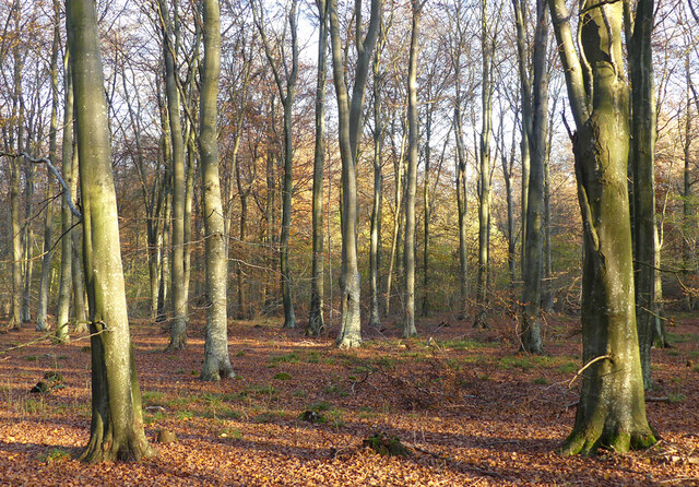
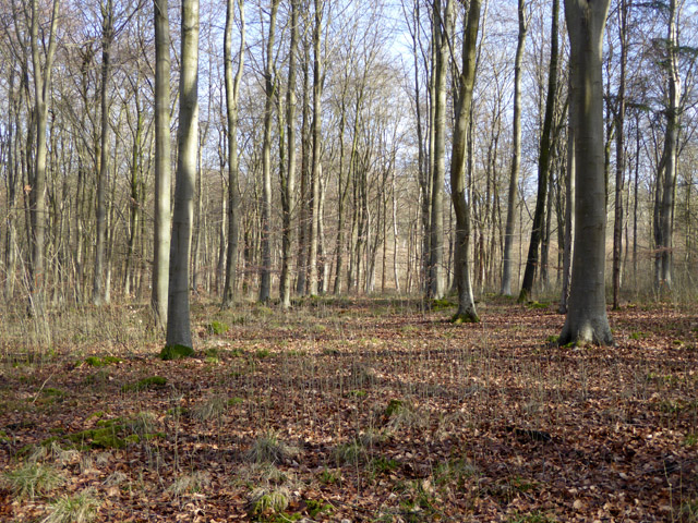
Lawn Copse is a picturesque woodland located in the county of Hampshire, England. Covering an area of approximately 50 acres, this enchanting forest is nestled within the South Downs National Park, making it a popular destination for nature enthusiasts and outdoor lovers.

The copse is predominantly composed of native deciduous trees, such as oak, beech, and ash, which create a lush and vibrant canopy during the spring and summer months. The forest floor is blanketed in a rich carpet of wildflowers, ferns, and mosses, adding to its natural beauty and biodiversity.

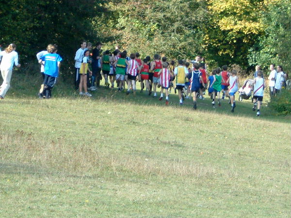
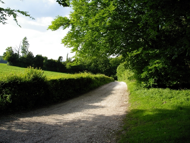
Traversing through Lawn Copse, visitors can find a network of well-maintained footpaths and trails, which allow for leisurely strolls and peaceful hikes. The sound of birdsong fills the air, as various avian species call this woodland home. It is not uncommon to spot woodpeckers, owls, and warblers amidst the foliage.

The copse also boasts a small stream that meanders through its heart, providing a tranquil atmosphere and offering a chance to observe the local wildlife, including ducks, frogs, and dragonflies.

Lawn Copse is a designated Site of Special Scientific Interest (SSSI) due to its ecological importance and diverse range of plant and animal species. As such, visitors are encouraged to respect and preserve the natural habitat by following designated paths and refraining from disturbing wildlife.

Overall, Lawn Copse is a captivating woodland that offers a peaceful retreat and a chance to reconnect with nature in the heart of Hampshire's countryside.

If you have any feedback on the listing, please let us know in the comments section below.
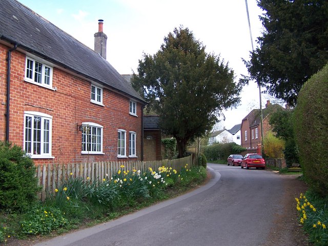
Lawn Copse Images

Images are sourced within 2km of 51.071316/-1.4104436 or Grid Reference SU4130. Thanks to Geograph Open Source API. All images are credited.

Farmland, Sparsholt An oak marks the position of a former field boundary with Privet Copse above.
Farmland, Sparsholt
An oak marks the position of a former field boundary with Privet Copse above.
Woodland, Sparsholt Beeches in West Wood, part of the Farley Mount Country Park.
Woodland, Sparsholt
Beeches in West Wood, part of the Farley Mount Country Park.
Woodland edge, Sparsholt The edge of West Wood is seen from the byway descending to No Man's Land.
Woodland edge, Sparsholt
The edge of West Wood is seen from the byway descending to No Man's Land.
Barns in farmland, Sparsholt The condition of these barns at No Man's Land has deteriorated since <a title="https://www.geograph.org.uk/photo/4414865" href="https://www.geograph.org.uk/photo/4414865">Link</a> was taken.
Barns in farmland, Sparsholt
The condition of these barns at No Man's Land has deteriorated since Link was taken.
Farmland, Kings Somborne To the east of Forest Extra.
Farmland, Kings Somborne
To the east of Forest Extra.
Derelict building and autumn trees The building still contains machinery which I think was probably a water pump.
Derelict building and autumn trees
The building still contains machinery which I think was probably a water pump.
Path in West Wood Forestry Commission woodland, and also part of Farley Mount Country Park.
Path in West Wood
Forestry Commission woodland, and also part of Farley Mount Country Park.
In West Wood A beech plantation in the part mapped as Shedden Oak Copse. Forestry Commission woodland, and also part of Farley Mount Country Park.
In West Wood
A beech plantation in the part mapped as Shedden Oak Copse. Forestry Commission woodland, and also part of Farley Mount Country Park.
Cottages at Moorcourt Farm There is also a big house here.
Cottages at Moorcourt Farm
There is also a big house here.
Autumn leaves on track near Forest of Bere Farm
Field of poppies behind Sparsholt College - North West A new crop for Hampshire
Field of poppies behind Sparsholt College - North West
A new crop for Hampshire
Farley Mount, Nr Winchester, Hants
Ower Wood, near Sparsholt College Looking south east across farmland towards Ower Wood.
Ower Wood, near Sparsholt College
Looking south east across farmland towards Ower Wood.
Fields at Sparsholt College Sheep enclosed by electric fencing, near No Man's Land, Sparsholt College.
Fields at Sparsholt College
Sheep enclosed by electric fencing, near No Man's Land, Sparsholt College.
Abandoned crops and Little Up Somborne Wood Looking south through abandoned maize field towards the northern edge of Little Up Somborne Wood
Abandoned crops and Little Up Somborne Wood
Looking south through abandoned maize field towards the northern edge of Little Up Somborne Wood
Farmland north of Little Up Somborne Wood On the down, just north of the wood, looking east towards Sparsholt College.
Farmland north of Little Up Somborne Wood
On the down, just north of the wood, looking east towards Sparsholt College.
Arboriculturalists at Sparsholt College Arboriculturalists demonstrating their skills at the Sparsholt College Countryside Day. This is the heart of the college's campus.
Arboriculturalists at Sparsholt College
Arboriculturalists demonstrating their skills at the Sparsholt College Countryside Day. This is the heart of the college's campus.
Track west of Forest of Bere Farm The photographer is standing at the track's junction with the Roman road at Ashley Down.
Track west of Forest of Bere Farm
The photographer is standing at the track's junction with the Roman road at Ashley Down.
Show me another place!

Lawn Copse is located at Grid Ref: SU4130 (Lat: 51.071316, Lng: -1.4104436)

Administrative County: Hampshire

District: Winchester

Police Authority: Hampshire

What 3 Words

///guideline.wheels.butternut. Near Winchester, Hampshire

Related Wikis

Sparsholt Roman Villa

Sparsholt Roman Villa was a Roman villa near the village of Sparsholt, Hampshire, England. It was constructed in phases from the 2nd to the 5th century...

Farley Mount

Farley Mount is one of the highest points in Hampshire at 174 metres ASL (571ft). It is in Farley Mount Country Park, about four miles west of the historic...
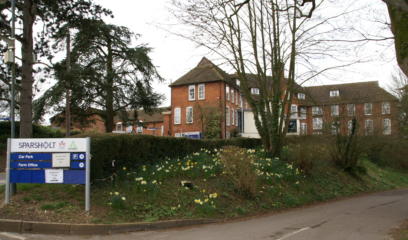
Sparsholt College

Sparsholt College is a Further Education (FE) and Higher Education (HE) college located at Sparsholt near Winchester, with a secondary campus in Andover...

Crab Wood

Crab Wood is a 73-hectare (180-acre) biological Site of Special Scientific Interest west of Winchester in Hampshire. An area of 37.8 hectares (93 acres...

Sparsholt, Hampshire

Sparsholt (/ˈspɑːʃəʊlt/) is a village and civil parish in Hampshire, England, 2+1⁄2 miles (4 km) west of Winchester. In 1908 its area was 3,672 acres...

Up Somborne

Up Somborne is a hamlet in the civil parish of King's Somborne in the Test Valley district of Hampshire, England. Its nearest town is Stockbridge, which...
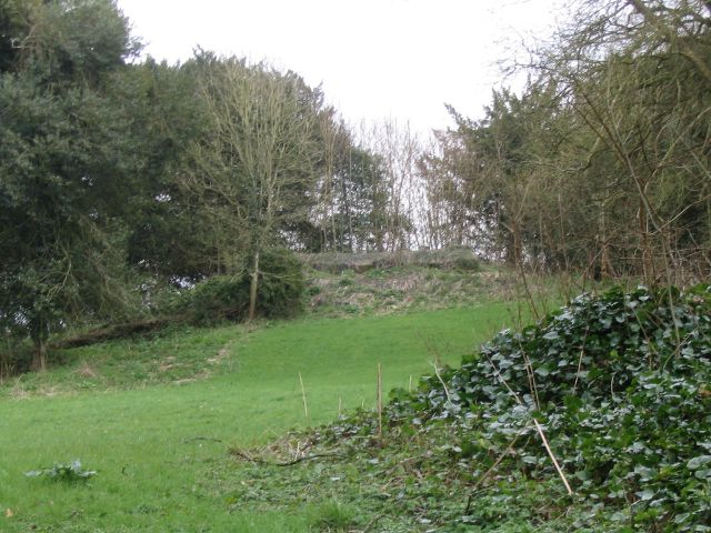
Ashley Castle

The remains of Ashley Castle are in the small village of Ashley, Test Valley, in Hampshire (grid reference SU385308). The visible remains now consist of...

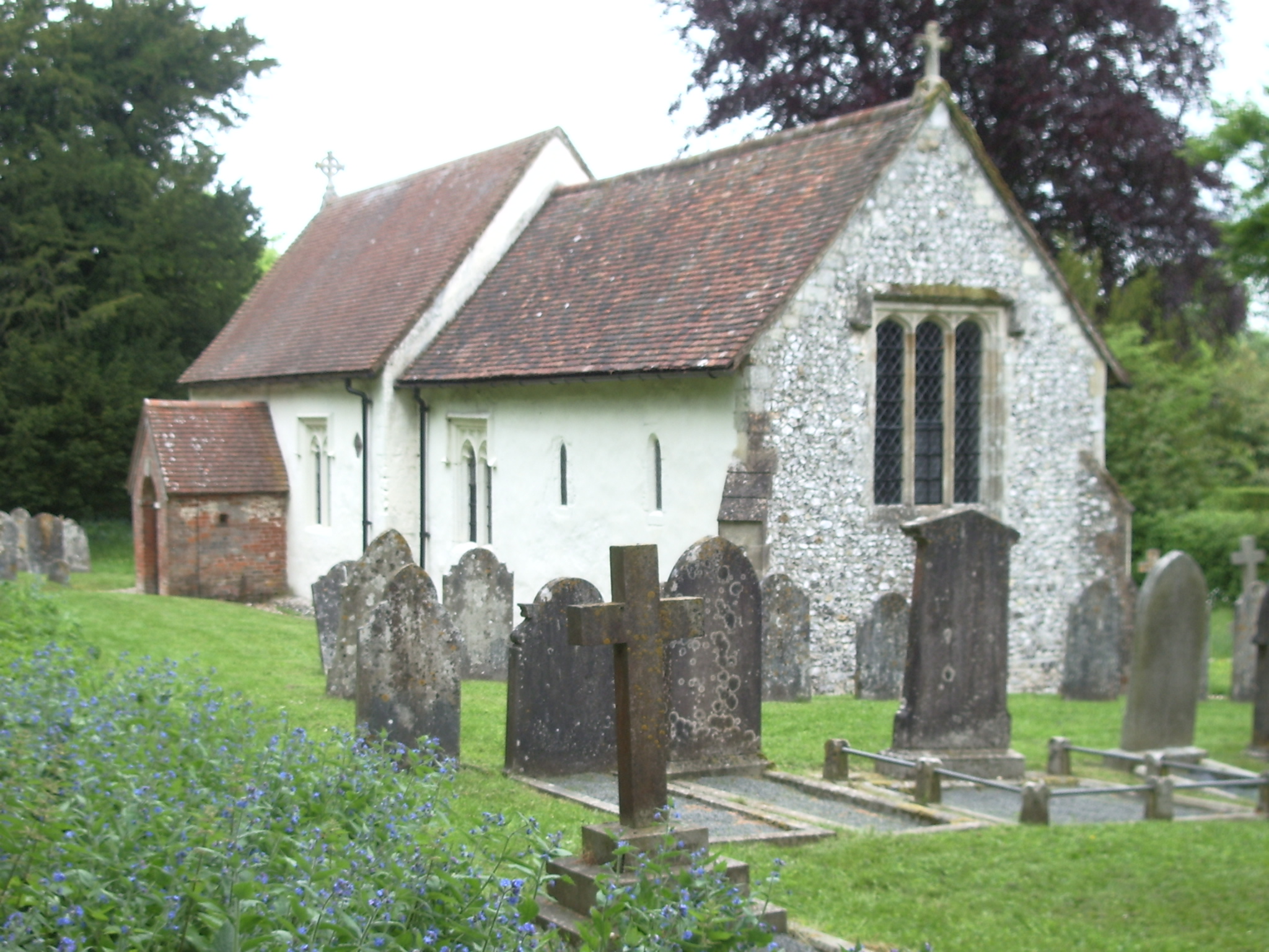
St. Mary's Church, Ashley

St. Mary's Church is a historic Anglican church in the hamlet of Ashley, Hampshire, England. It is recorded in the National Heritage List for England...

Nearby Amenities

Located within 500m of 51.071316,-1.4104436
Lawn Copse
Place: locality
Lat/Long: 51.0674708/-1.4111291
The Oven
Place: locality
Lat/Long: 51.0710068/-1.4148667
Hunting Stand
Lat/Long: 51.0726468/-1.4144127
The data included in this document is from www.openstreetmap.org. The data is made available under ODbL.

Have you been to Lawn Copse?

Leave your review of Lawn Copse below (or comments, questions and feedback).