Allpits Plantation
Wood, Forest in Derbyshire North East Derbyshire
England
Allpits Plantation
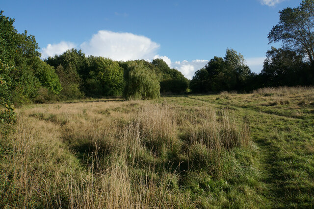
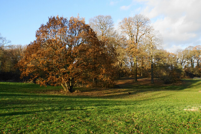
Allpits Plantation is a picturesque wood located in Derbyshire, England. Situated in the heart of the county, this forested area covers a vast expanse and is an idyllic destination for nature lovers and outdoor enthusiasts.
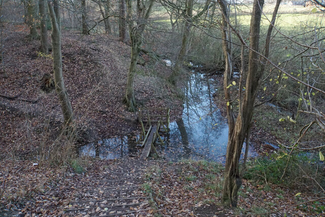
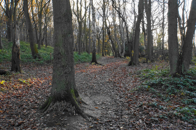
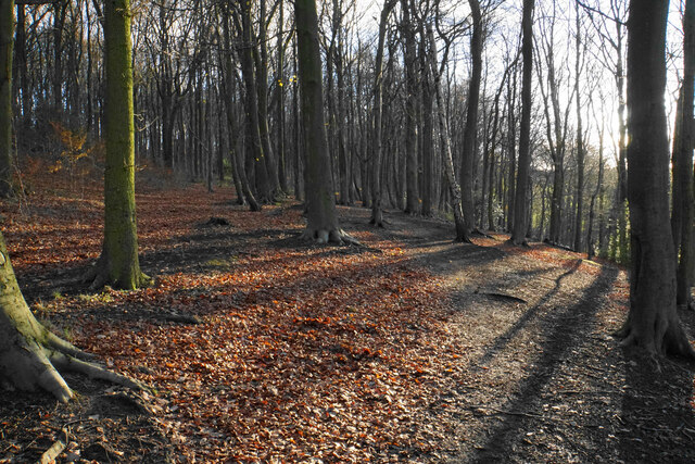
The plantation is predominantly made up of deciduous trees, such as oak, birch, and beech, which create a stunning tapestry of colors during the autumn months. The dense foliage provides a haven for a diverse range of wildlife, including birds, squirrels, and deer, making it a popular spot for birdwatching and wildlife photography.
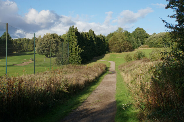
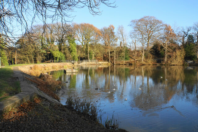
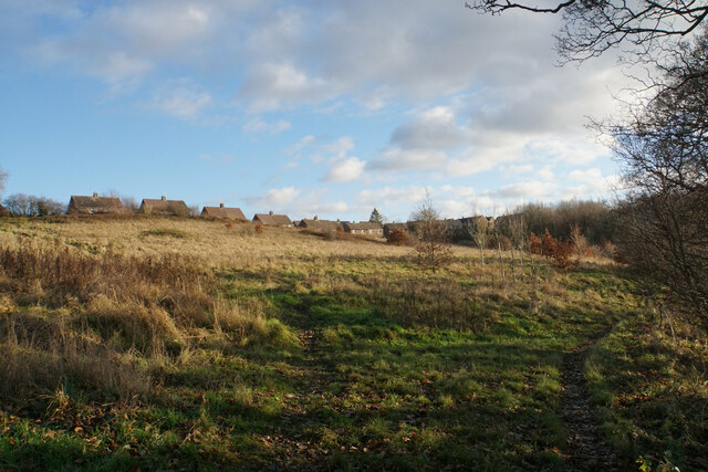
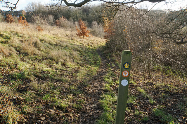
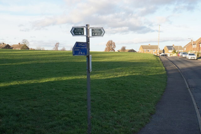
Visitors to Allpits Plantation can explore a network of well-maintained trails that wind through the wood, offering breathtaking views of the surrounding countryside. The paths meander through tranquil glades, allowing visitors to immerse themselves in the peaceful ambiance of the woodland.
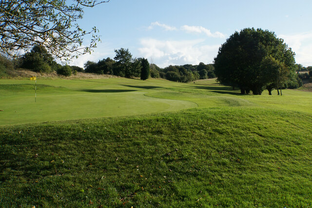
In addition to its natural beauty, Allpits Plantation also offers various recreational activities for visitors. There are designated picnic areas where families and friends can enjoy a leisurely lunch amidst the serene surroundings. The plantation also has a children's play area, providing entertainment for younger visitors.
Allpits Plantation is easily accessible, with ample parking available for those arriving by car. Its central location in Derbyshire makes it a convenient destination for both locals and tourists, who can enjoy a day out in nature without venturing too far from urban areas.
Overall, Allpits Plantation is a delightful destination, offering a captivating mix of scenic beauty, wildlife, and recreational opportunities. Whether one seeks solace in nature or wishes to indulge in outdoor activities, this wood in Derbyshire proves to be an ideal location for all.
If you have any feedback on the listing, please let us know in the comments section below.
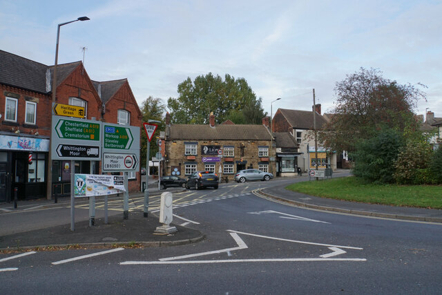
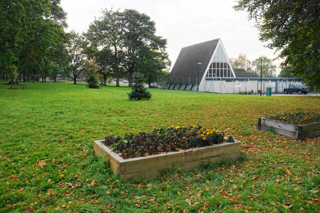
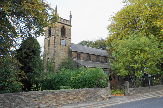
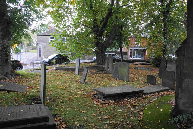
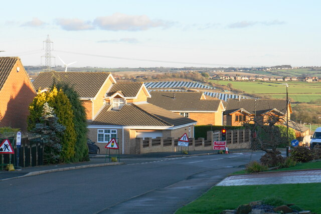
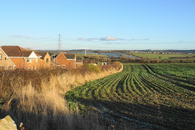
Allpits Plantation Images
Images are sourced within 2km of 53.242993/-1.3809858 or Grid Reference SK4171. Thanks to Geograph Open Source API. All images are credited.
Allpits Plantation is located at Grid Ref: SK4171 (Lat: 53.242993, Lng: -1.3809858)
Administrative County: Derbyshire
District: North East Derbyshire
Police Authority: Derbyshire
What 3 Words
///salt.zeal.loyal. Near Chesterfield, Derbyshire
Nearby Locations
Related Wikis

Calow
Calow is a village and civil parish in the county of Derbyshire in England. The population of the village at the 2011 census was 2,494. Calow is in North...

Inkersall
Inkersall and Inkersall Green (informally referred to by local residents as Inky) are areas of settlement in Derbyshire, England. They are located south...
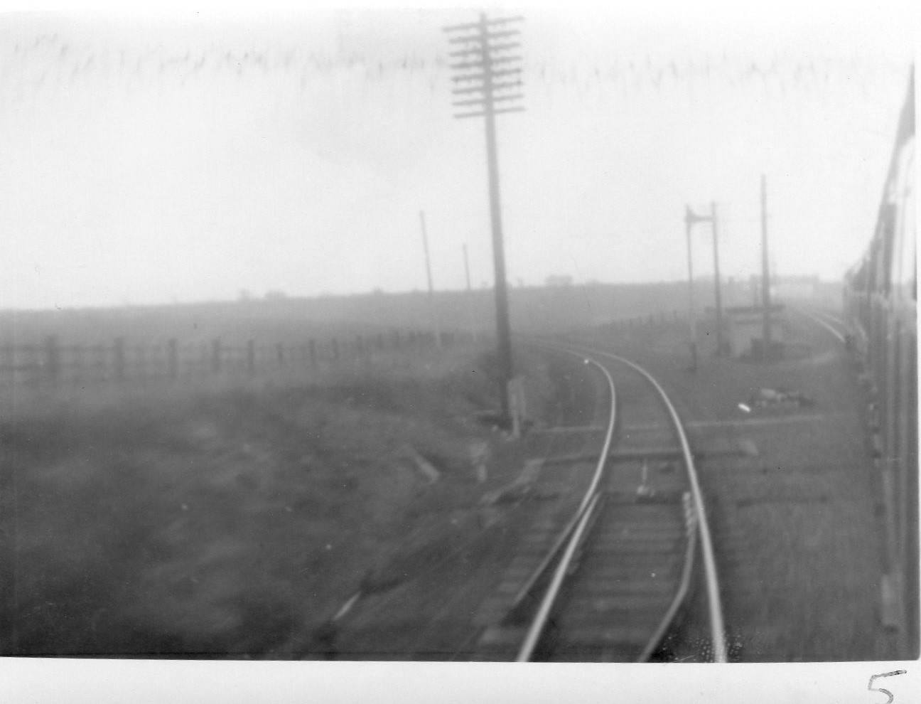
Duckmanton North Junction
Duckmanton North Junction is a former railway junction near Arkwright Town in Derbyshire, England. == Context == Duckmanton North Junction was one of four...
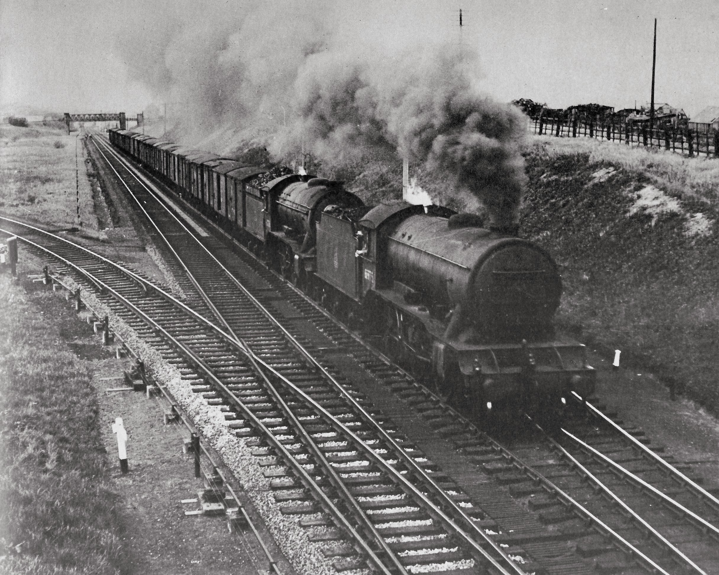
Duckmanton Junction
Duckmanton Junction is a former railway junction near Arkwright Town in Derbyshire, England. == Context == Duckmanton Junction (sometimes referred to as...
Chesterfield Royal Hospital
Chesterfield Royal Hospital is an acute general hospital in Chesterfield, Derbyshire. It is managed by the Chesterfield Royal Hospital NHS Foundation Trust...

Chesterfield Royal Hospital NHS Foundation Trust
Chesterfield Royal Hospital NHS Foundation Trust became a NHS Foundation Trust in January 2005, providing health services at the Chesterfield Royal Hospital...

Chesterfield (UK Parliament constituency)
Chesterfield is a constituency represented in the House of Commons of the UK Parliament since 2010 by Toby Perkins of the Labour Party. == Constituency... ==
Duckmanton East Junction
Duckmanton East Junction is a former railway junction near Arkwright Town in Derbyshire, England. == Context == Duckmanton East Junction was one of four...
Related Videos


Nearby Amenities
Located within 500m of 53.242993,-1.3809858Have you been to Allpits Plantation?
Leave your review of Allpits Plantation below (or comments, questions and feedback).