Buckhanger Copse
Wood, Forest in Hampshire Basingstoke and Deane
England
Buckhanger Copse
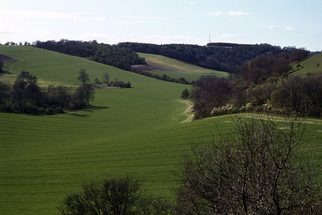
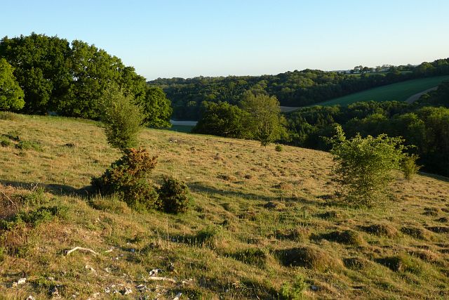
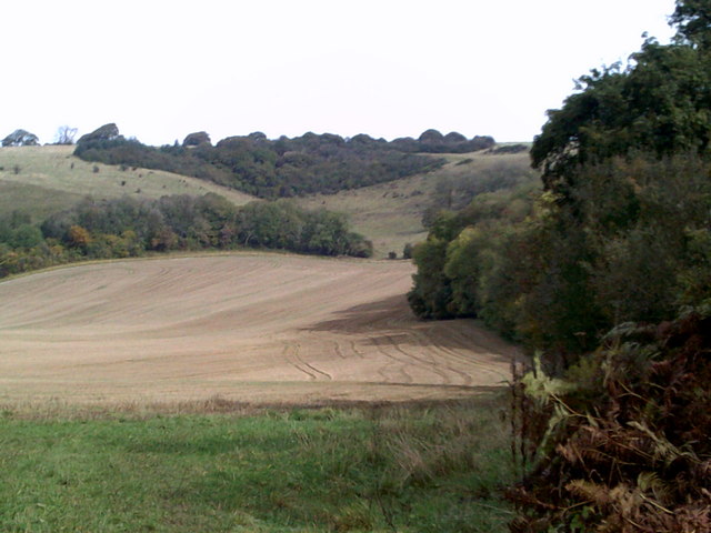
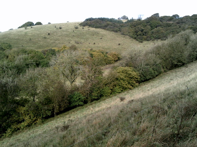
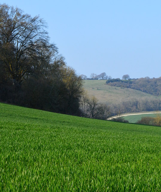
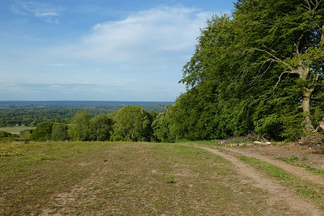
Buckhanger Copse is a picturesque woodland located in the county of Hampshire, England. Spanning approximately 50 acres, this ancient copse is situated near the village of Buckhanger, nestled within the rolling hills and tranquil countryside of Hampshire.
The copse is primarily composed of native broadleaf trees, such as oak, beech, and ash, creating a diverse and vibrant woodland ecosystem. These towering trees provide a dense canopy, casting dappled sunlight onto the forest floor below. The undergrowth is rich with ferns, bluebells, and wildflowers, adding to the copse's natural beauty.
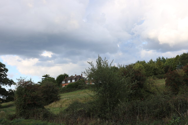
Buckhanger Copse is home to a variety of wildlife, making it a haven for nature enthusiasts. Visitors may have the chance to spot deer roaming among the trees, hear the melodic songs of woodland birds, or catch a glimpse of a fox or badger going about their daily routines. The copse also attracts a multitude of insects, including butterflies and dragonflies, adding to its ecological significance.
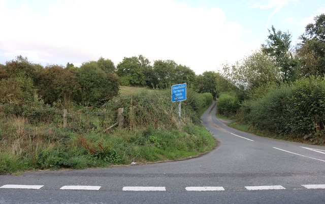
The copse is crisscrossed by a network of footpaths, allowing visitors to explore its enchanting beauty. Walking through Buckhanger Copse offers a sense of tranquility and serenity, as one immerses themselves in the peaceful sounds of nature.
This woodland gem is not only a haven for wildlife but also a cherished recreational spot for locals and visitors alike. It provides an idyllic setting for picnics, family outings, or simply a peaceful stroll to escape the hustle and bustle of everyday life.
In summary, Buckhanger Copse is a captivating woodland in Hampshire, boasting a rich diversity of trees, flora, and fauna. Its natural beauty, combined with its accessibility and recreational opportunities, make it a cherished destination for all nature lovers.
If you have any feedback on the listing, please let us know in the comments section below.
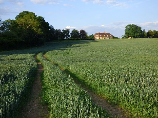
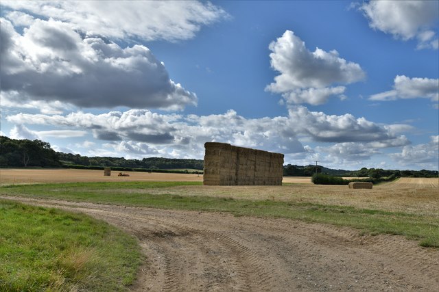
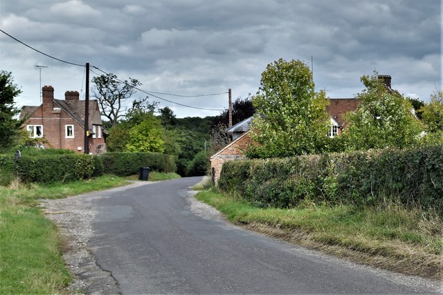
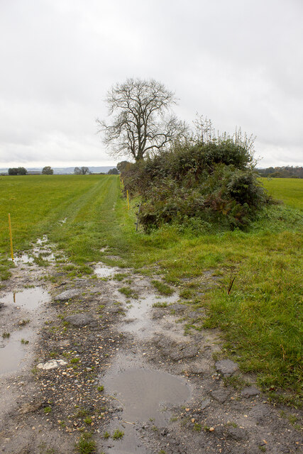
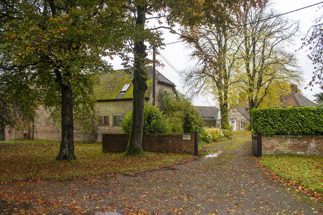
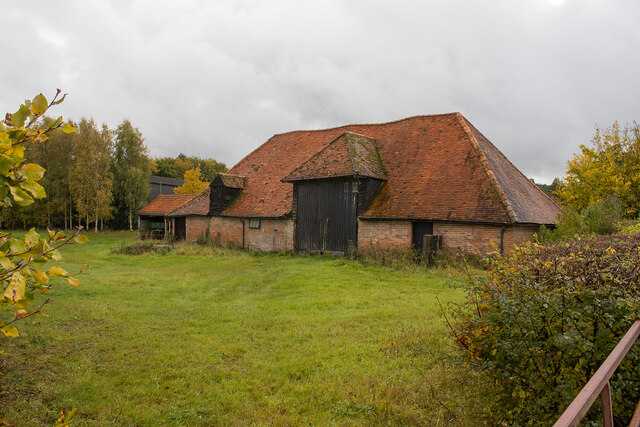
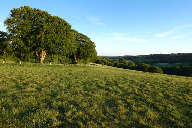
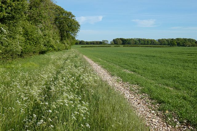
Buckhanger Copse Images
Images are sourced within 2km of 51.330113/-1.4080222 or Grid Reference SU4159. Thanks to Geograph Open Source API. All images are credited.

Buckhanger Copse is located at Grid Ref: SU4159 (Lat: 51.330113, Lng: -1.4080222)
Administrative County: Hampshire
District: Basingstoke and Deane
Police Authority: Hampshire
What 3 Words
///workforce.envoy.research. Near Highclere, Hampshire
Nearby Locations
Related Wikis
Ashmansworth
Ashmansworth is a village and civil parish in the Basingstoke and Deane district of the English county of Hampshire. == Geography == The village is about...

Pilot Hill, Hampshire
Pilot Hill is the highest summit in Hampshire, England, with a maximum elevation of 286 m (938 ft). It lies around 2 miles (3.2 km) to the south-east of...

Stargroves
Stargroves (also known as Stargrove House) is a manor house and associated estate at East Woodhay in the English county of Hampshire. The house belonged...

Hambledon Rural District
Hambledon Rural District was a local government district that existed in south-west Surrey in England from 1894 until 1974. Its headquarters were in Guildford...

East Woodhay
East Woodhay is a village and civil parish in Hampshire, England. The village is approximately 5.5 miles (9 km) south-west of Newbury in Berkshire. At...
Faccombe
Faccombe is a village and civil parish in Hampshire, England. The village lies on the Hampshire-Berkshire border and is situated on the North Downs. Its...

Highclere
Highclere (pronounced ) is a village and civil parish situated in the North Wessex Downs (an Area of Outstanding Natural Beauty) in the Basingstoke and...

Woolton Hill
Woolton Hill is a village in Hampshire, England, in the civil parish of East Woodhay. The village lies approximately 4 miles (6 km) south-west of the centre...
Nearby Amenities
Located within 500m of 51.330113,-1.4080222Have you been to Buckhanger Copse?
Leave your review of Buckhanger Copse below (or comments, questions and feedback).