Burnt Copse

Wood, Forest in Hampshire Test Valley

England

Burnt Copse

Field by the A303 And by The Buck services, from the edge of which this was taken. The mast is shown more clearly in <a href="https://www.geograph.org.uk/photo/4071515">SU4143 : Mobile phone mast hiding in the countryside</a>. The field is crossed by Longparish footpath 21. Its crop, possibly of winter wheat, is having a damp time of it. But things look worse because I accidentally switched the speed on the camera from Auto to 1/4000, and have just spent a while trying to compensate for this. Sorry!
Field by the A303 Credit: Derek Harper

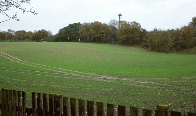
Burnt Copse is a picturesque wood located in the county of Hampshire, England. Nestled in the heart of the South Downs National Park, this forested area spans approximately 100 acres and offers a serene escape from the hustle and bustle of city life.

The wood takes its name from its historical past, as it is believed to have been affected by a fire centuries ago, leaving behind a charred landscape that has since regenerated into a vibrant and thriving ecosystem. Today, Burnt Copse boasts an impressive variety of trees, including oak, beech, and birch, which provide a rich tapestry of colors throughout the year.

The wood is a popular destination for nature lovers, hikers, and wildlife enthusiasts alike. Its extensive network of footpaths and trails allows visitors to explore the area at their own pace, taking in the scenic views and immersing themselves in the tranquil surroundings. The forest is home to a diverse range of flora and fauna, with many species of birds, mammals, and insects calling it their habitat.

In addition to its natural beauty, Burnt Copse offers several amenities to enhance visitors' experiences. There are designated picnic areas where families can enjoy a leisurely lunch amidst the trees, as well as well-maintained seating areas for those seeking a moment of quiet contemplation. The wood also has a small visitor center, providing information about the local wildlife and history of the area.

Overall, Burnt Copse in Hampshire is a captivating woodland, offering a peaceful retreat and an opportunity to connect with nature in a stunning natural setting.

If you have any feedback on the listing, please let us know in the comments section below.
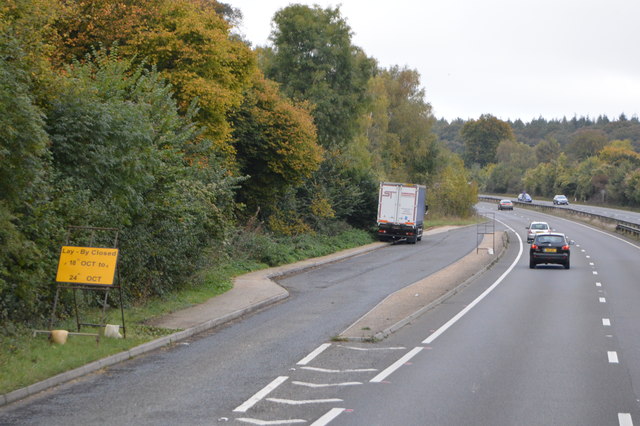
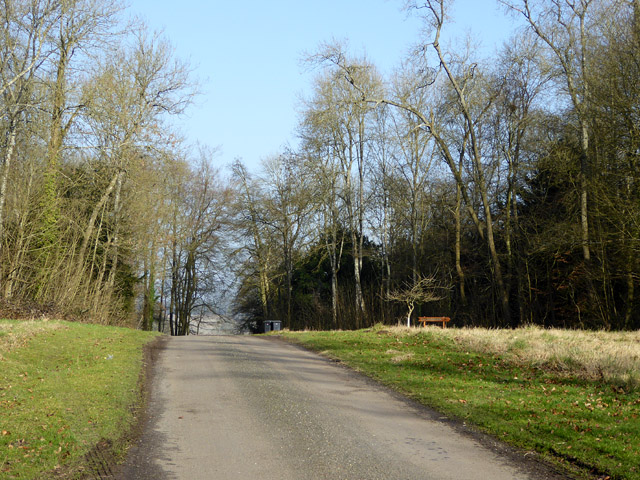
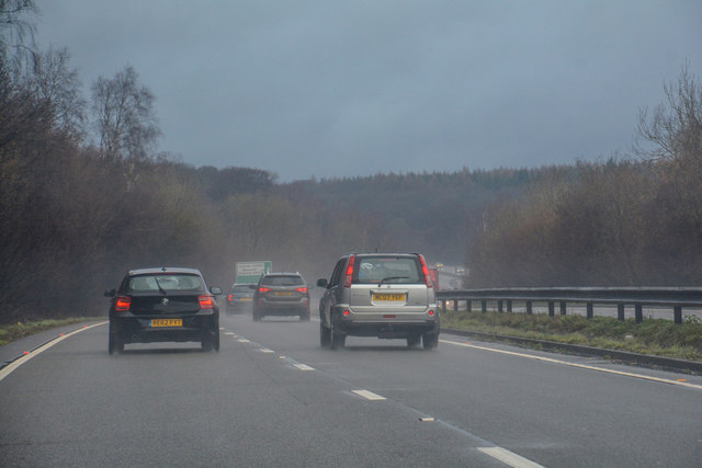
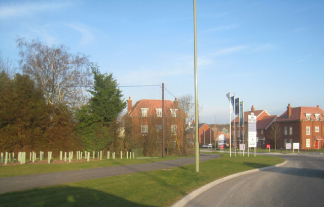
Burnt Copse Images

Images are sourced within 2km of 51.205133/-1.4095821 or Grid Reference SU4145. Thanks to Geograph Open Source API. All images are credited.

Field by the A303 And by The Buck services, from the edge of which this was taken. The mast is shown more clearly in <a href="https://www.geograph.org.uk/photo/4071515">SU4143 : Mobile phone mast hiding in the countryside</a>. The field is crossed by Longparish footpath 21. Its crop, possibly of winter wheat, is having a damp time of it. But things look worse because I accidentally switched the speed on the camera from Auto to 1/4000, and have just spent a while trying to compensate for this. Sorry!
Field by the A303
And by The Buck services, from the edge of which this was taken. The mast is shown more clearly in SU4143 : Mobile phone mast hiding in the countryside. The field is crossed by Longparish footpath 21. Its crop, possibly of winter wheat, is having a damp time of it. But things look worse because I accidentally switched the speed on the camera from Auto to 1/4000, and have just spent a while trying to compensate for this. Sorry!
The Buck Services, A303 The A303 is a main trunk road running 92 miles between Basingstoke and Honiton. Along with the A30 and M3 it forms a major route between London and the South West. Much of the road is dual carriageway, but some stretches remain single and prone to congestion.

Wikipedia: <span class="nowrap"><a title="http://en.wikipedia.org/wiki/A303_road" rel="nofollow ugc noopener" href="http://en.wikipedia.org/wiki/A303_road">Link</a><img style="margin-left:2px;" alt="External link" title="External link - shift click to open in new window" src="https://s1.geograph.org.uk/img/external.png" width="10" height="10"/></span>
The Buck Services, A303
The A303 is a main trunk road running 92 miles between Basingstoke and Honiton. Along with the A30 and M3 it forms a major route between London and the South West. Much of the road is dual carriageway, but some stretches remain single and prone to congestion. Wikipedia: LinkExternal link
B3048 overbridge, A303 The A303 is a main trunk road running 92 miles between Basingstoke and Honiton. Along with the A30 and M3 it forms a major route between London and the South West. Much of the road is dual carriageway, but some stretches remain single and prone to congestion.

Wikipedia: <span class="nowrap"><a title="http://en.wikipedia.org/wiki/A303_road" rel="nofollow ugc noopener" href="http://en.wikipedia.org/wiki/A303_road">Link</a><img style="margin-left:2px;" alt="External link" title="External link - shift click to open in new window" src="https://s1.geograph.org.uk/img/external.png" width="10" height="10"/></span>
B3048 overbridge, A303
The A303 is a main trunk road running 92 miles between Basingstoke and Honiton. Along with the A30 and M3 it forms a major route between London and the South West. Much of the road is dual carriageway, but some stretches remain single and prone to congestion. Wikipedia: LinkExternal link
B3048 Bridge, A303 The A303 is a main trunk road running 92 miles between Basingstoke and Honiton. Along with the A30 and M3 it forms a major route between London and the South West. Much of the road is dual carriageway, but some stretches remain single and prone to congestion.

Wikipedia: <span class="nowrap"><a title="http://en.wikipedia.org/wiki/A303_road" rel="nofollow ugc noopener" href="http://en.wikipedia.org/wiki/A303_road">Link</a><img style="margin-left:2px;" alt="External link" title="External link - shift click to open in new window" src="https://s1.geograph.org.uk/img/external.png" width="10" height="10"/></span>
B3048 Bridge, A303
The A303 is a main trunk road running 92 miles between Basingstoke and Honiton. Along with the A30 and M3 it forms a major route between London and the South West. Much of the road is dual carriageway, but some stretches remain single and prone to congestion. Wikipedia: LinkExternal link
Services by the A303 The A303 is a main trunk road running 92 miles between Basingstoke and Honiton. Along with the A30 and M3 it forms a major route between London and the South West. Much of the road is dual carriageway, but some stretches remain single and prone to congestion.

Wikipedia: <span class="nowrap"><a title="http://en.wikipedia.org/wiki/A303_road" rel="nofollow ugc noopener" href="http://en.wikipedia.org/wiki/A303_road">Link</a><img style="margin-left:2px;" alt="External link" title="External link - shift click to open in new window" src="https://s1.geograph.org.uk/img/external.png" width="10" height="10"/></span>
Services by the A303
The A303 is a main trunk road running 92 miles between Basingstoke and Honiton. Along with the A30 and M3 it forms a major route between London and the South West. Much of the road is dual carriageway, but some stretches remain single and prone to congestion. Wikipedia: LinkExternal link
A303, westbound The A303 is a main trunk road running 92 miles between Basingstoke and Honiton. Along with the A30 and M3 it forms a major route between London and the South West. Much of the road is dual carriageway, but some stretches remain single and prone to congestion.

Wikipedia: <span class="nowrap"><a title="http://en.wikipedia.org/wiki/A303_road" rel="nofollow ugc noopener" href="http://en.wikipedia.org/wiki/A303_road">Link</a><img style="margin-left:2px;" alt="External link" title="External link - shift click to open in new window" src="https://s1.geograph.org.uk/img/external.png" width="10" height="10"/></span>
A303, westbound
The A303 is a main trunk road running 92 miles between Basingstoke and Honiton. Along with the A30 and M3 it forms a major route between London and the South West. Much of the road is dual carriageway, but some stretches remain single and prone to congestion. Wikipedia: LinkExternal link
Layby, A303 The A303 is a main trunk road running 92 miles between Basingstoke and Honiton. Along with the A30 and M3 it forms a major route between London and the South West. Much of the road is dual carriageway, but some stretches remain single and prone to congestion.

Wikipedia: <span class="nowrap"><a title="http://en.wikipedia.org/wiki/A303_road" rel="nofollow ugc noopener" href="http://en.wikipedia.org/wiki/A303_road">Link</a><img style="margin-left:2px;" alt="External link" title="External link - shift click to open in new window" src="https://s1.geograph.org.uk/img/external.png" width="10" height="10"/></span>
Layby, A303
The A303 is a main trunk road running 92 miles between Basingstoke and Honiton. Along with the A30 and M3 it forms a major route between London and the South West. Much of the road is dual carriageway, but some stretches remain single and prone to congestion. Wikipedia: LinkExternal link
A303, westbound The A303 is a main trunk road running 92 miles between Basingstoke and Honiton. Along with the A30 and M3 it forms a major route between London and the South West. Much of the road is dual carriageway, but some stretches remain single and prone to congestion.

Wikipedia: <span class="nowrap"><a title="http://en.wikipedia.org/wiki/A303_road" rel="nofollow ugc noopener" href="http://en.wikipedia.org/wiki/A303_road">Link</a><img style="margin-left:2px;" alt="External link" title="External link - shift click to open in new window" src="https://s1.geograph.org.uk/img/external.png" width="10" height="10"/></span>
A303, westbound
The A303 is a main trunk road running 92 miles between Basingstoke and Honiton. Along with the A30 and M3 it forms a major route between London and the South West. Much of the road is dual carriageway, but some stretches remain single and prone to congestion. Wikipedia: LinkExternal link
Lane through Ridges Plantation This area has an 'estate air', with wide grassy verges.
Lane through Ridges Plantation
This area has an 'estate air', with wide grassy verges.
Gate into a field off the Middleway, Middleton
Snowdrops in the rain, off the Middleway
The Church of St Nicholas at Longparish Viewed from the south.
The Church of St Nicholas at Longparish
Viewed from the south.
Ordnance Survey Cut Mark This is one of two marks that can be found on the wall of St Nicholas' Church in Middleton.
For more detail see : <span class="nowrap"><a title="http://www.bench-marks.org.uk/bm29758" rel="nofollow ugc noopener" href="http://www.bench-marks.org.uk/bm29758">Link</a><img style="margin-left:2px;" alt="External link" title="External link - shift click to open in new window" src="https://s1.geograph.org.uk/img/external.png" width="10" height="10"/></span>
Ordnance Survey Cut Mark
This is one of two marks that can be found on the wall of St Nicholas' Church in Middleton. For more detail see : LinkExternal link
Ordnance Survey Cut Mark This is one of the two marks that can be found on the wall of St Nicholas' Church in Middleton.
For more detail see : <a title="https://www.geograph.org.uk/photo/5354561" href="https://www.geograph.org.uk/photo/5354561">Link</a>
Ordnance Survey Cut Mark
This is one of the two marks that can be found on the wall of St Nicholas' Church in Middleton. For more detail see : Link
A303 eastbound
A303 eastbound
A303 eastbound
A303 eastbound
BP Services by the A303 The A303 is a main trunk road running 92 miles between Basingstoke and Honiton. Along with the A30 and M3 it forms a major route between London and the South West. Much of the road is dual carriageway, but some stretches remain single and prone to congestion.

Wikipedia: <span class="nowrap"><a title="http://en.wikipedia.org/wiki/A303_road" rel="nofollow ugc noopener" href="http://en.wikipedia.org/wiki/A303_road">Link</a><img style="margin-left:2px;" alt="External link" title="External link - shift click to open in new window" src="https://s1.geograph.org.uk/img/external.png" width="10" height="10"/></span>
BP Services by the A303
The A303 is a main trunk road running 92 miles between Basingstoke and Honiton. Along with the A30 and M3 it forms a major route between London and the South West. Much of the road is dual carriageway, but some stretches remain single and prone to congestion. Wikipedia: LinkExternal link
Test Valley : The A303 Heading along the A303 through Test Valley District.
Test Valley : The A303
Heading along the A303 through Test Valley District.
Show me another place!

Burnt Copse is located at Grid Ref: SU4145 (Lat: 51.205133, Lng: -1.4095821)

Administrative County: Hampshire

District: Test Valley

Police Authority: Hampshire

What 3 Words

///haircuts.operating.disposal. Near Andover, Hampshire

Related Wikis

Dead Man's Plack

Dead Man's Plack is a Grade-II listed 19th-century monument to Æthelwald, Ealdorman of East Anglia, who, according to legend, was killed in 963 near the...

Andover Down

Andover Down is a hamlet in Hampshire, England 2 miles (3.2 km) east of Andover. == History == On the 1888 OS map there are a very small number of houses...

Longparish railway station

Longparish railway station served the village of Longparish, Hampshire, England from 1885 to 1956 on the Fullerton to Hurstbourne Line. == History == The...

Longparish

Longparish is a village and civil parish in Hampshire, England. It is composed of the five hamlets of Middleton, East Aston, West Aston ,Forton and Longparish...

Picket Piece

Picket Piece is a small village in the Test Valley district of Hampshire, England. Andover lies approximately 2 miles (3.2 km) south-west from the village...

Hurstbourne Priors

Hurstbourne Priors is a small village and civil parish in the Basingstoke and Deane district of Hampshire, England. Its nearest town is Whitchurch, which...

East Anton

East Anton is a suburb and housing development of Andover in the Test Valley district of Hampshire, England. It lies 1.5 miles (2.1 km) north-east from...

Picket Twenty

Picket Twenty, once a hamlet, is now effectively a suburb of Andover, in the Test Valley district of Hampshire, England. The centre of Andover lies to...

Nearby Amenities

Located within 500m of 51.205133,-1.4095821
Peaked Copse
Place: locality
Lat/Long: 51.2041698/-1.415138
Burnt Copse
Place: locality
Lat/Long: 51.2053225/-1.4083831
Gravelly Bank Copse
Place: locality
Lat/Long: 51.2025178/-1.4075315
The data included in this document is from www.openstreetmap.org. The data is made available under ODbL.

Have you been to Burnt Copse?

Leave your review of Burnt Copse below (or comments, questions and feedback).