West Down Copse

Wood, Forest in Hampshire Basingstoke and Deane

England

West Down Copse

Downland, Faccombe Access land on the south-western side of Pilot Hill.
Downland, Faccombe Credit: Andrew Smith

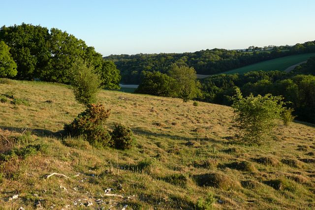
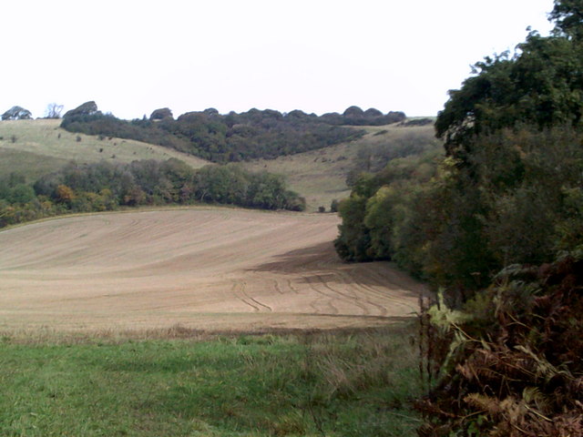
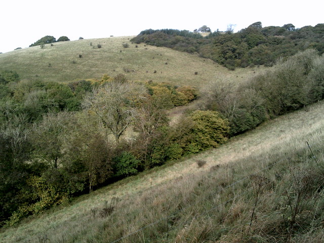
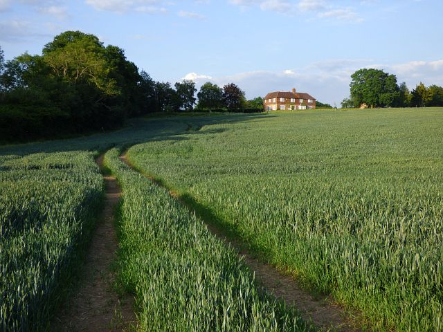
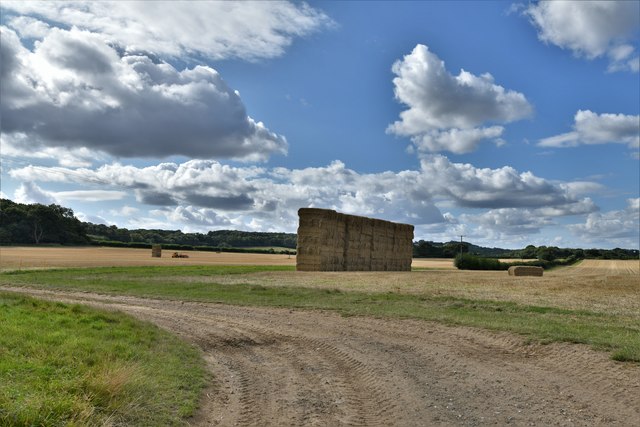
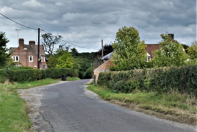
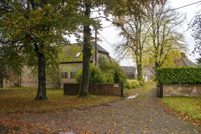
West Down Copse is a picturesque woodland located in the county of Hampshire, England. Covering an area of approximately 50 acres, it is situated in the heart of the South Downs National Park. The copse is characterized by its dense, ancient trees and diverse wildlife, making it a popular destination for nature enthusiasts and outdoor enthusiasts alike.

The woodland is predominantly composed of native broadleaf trees, including oak, beech, ash, and birch. These towering trees create a dense canopy that casts dappled sunlight onto the forest floor, creating a tranquil and serene atmosphere. Bluebells carpet the ground during spring, adding a splash of vibrant color to the copse.

West Down Copse is not only a haven for flora, but also for fauna. It provides a habitat for a wide range of wildlife, including deer, badgers, foxes, and squirrels. Birdwatchers can spot various species of birds, such as woodpeckers, owls, and thrushes, as they flit among the treetops.

The copse offers several walking trails that wind their way through the woodland, allowing visitors to explore its natural beauty. These paths are well-maintained and suitable for all ages and fitness levels. Additionally, there are picnic areas and benches scattered throughout the woodland, providing the perfect spot to rest and enjoy the peaceful surroundings.

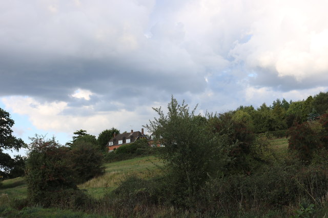
West Down Copse is easily accessible by both car and public transport, with ample parking available nearby. Whether you are looking for a peaceful stroll, a picnic with family and friends, or a chance to immerse yourself in nature, this charming woodland offers a delightful escape from the hustle and bustle of everyday life.

If you have any feedback on the listing, please let us know in the comments section below.

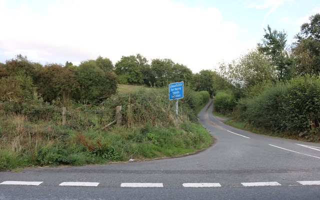
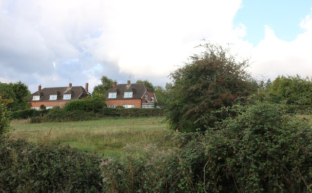
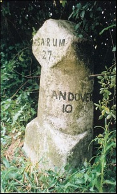
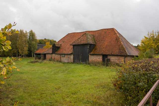
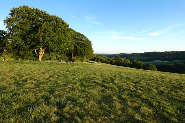
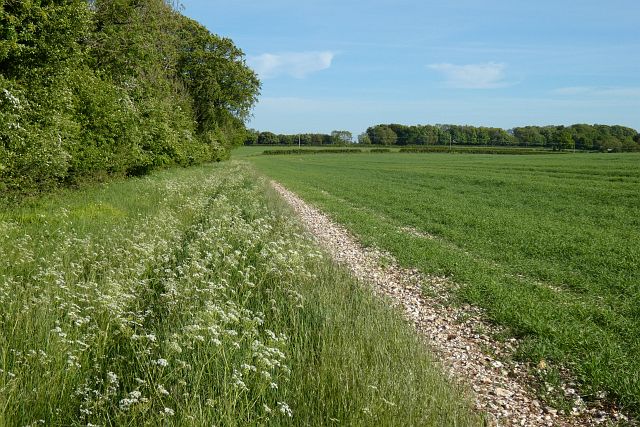
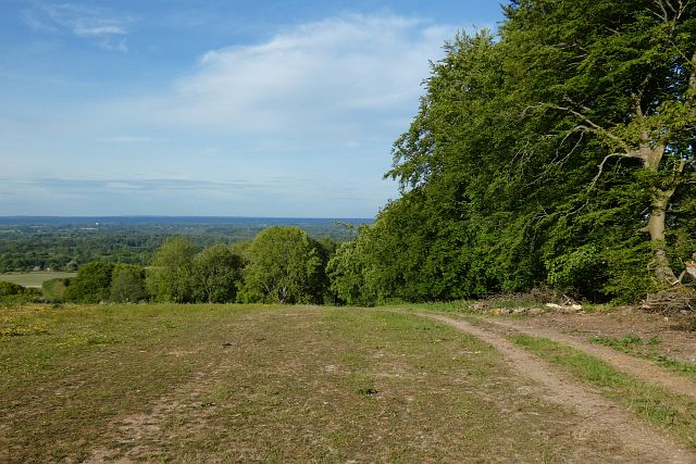
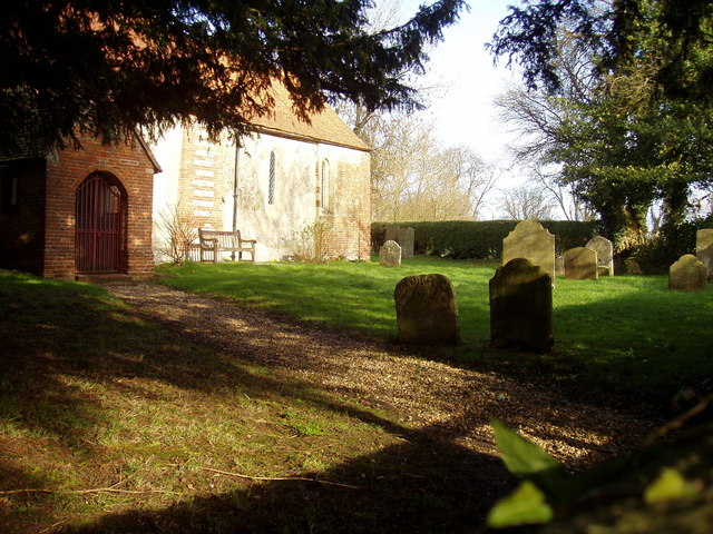
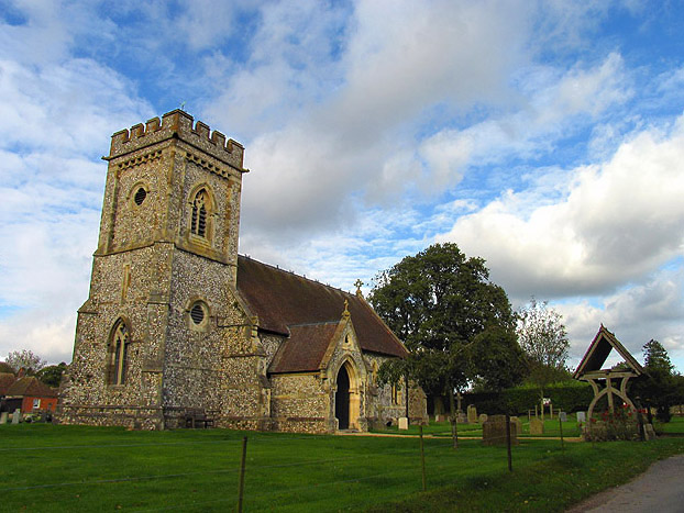
West Down Copse Images

Images are sourced within 2km of 51.331763/-1.4035657 or Grid Reference SU4159. Thanks to Geograph Open Source API. All images are credited.

Downland, Faccombe Access land on the south-western side of Pilot Hill.
Downland, Faccombe
Access land on the south-western side of Pilot Hill.
View towards a combe, part of the Berkshire Downs ridge As seen from the Brenda Parker Way.
View towards a combe, part of the Berkshire Downs ridge
As seen from the Brenda Parker Way.
Lower slopes of Pilot Hill Pilot Hill is the highest point in Hampshire and is 938 feet above sea level.  It lies 10km south-west of the town of Newbury.
Lower slopes of Pilot Hill
Pilot Hill is the highest point in Hampshire and is 938 feet above sea level. It lies 10km south-west of the town of Newbury.
Public footpath leading to Pilot Hill Namely,the Brenda Parker Way.
Public footpath leading to Pilot Hill
Namely,the Brenda Parker Way.
Fields by the A343, Hollington Cross
Highclere Street at the junction of the A343
Houses on Highclere Street, Hollington Cross By the A343
Houses on Highclere Street, Hollington Cross
By the A343
Highclere Street, Hollington Cross
Old Milestone by the A343, Ashmansworth parish Carved stone post by the A343, in parish of ASHMANSWORTH (BASINGSTOKE AND DEANE District), half way up hill to Three Legs House, on sharp bend in broad verge under bushes and in front of hazard arrows, on West side of road. Newbury waist, erected by the Andover & Chilton Pond turnpike trust in the 18th century. 

Inscription reads:-
: NEWBURY / 5 - (6!) : SARUM / 28  : (OXFORD / 32) : : ANDOVER / 10 :
Old benchmark at base front.

Grade II listed.  
List Entry Number: 1419217 <span class="nowrap"><a title="https://historicengland.org.uk/listing/the-list/list-entry/1419217" rel="nofollow ugc noopener" href="https://historicengland.org.uk/listing/the-list/list-entry/1419217">Link</a><img style="margin-left:2px;" alt="External link" title="External link - shift click to open in new window" src="https://s1.geograph.org.uk/img/external.png" width="10" height="10"/></span>

Milestone Society National ID: HA_NEAN06.
Old Milestone by the A343, Ashmansworth parish
Carved stone post by the A343, in parish of ASHMANSWORTH (BASINGSTOKE AND DEANE District), half way up hill to Three Legs House, on sharp bend in broad verge under bushes and in front of hazard arrows, on West side of road. Newbury waist, erected by the Andover & Chilton Pond turnpike trust in the 18th century. Inscription reads:- : NEWBURY / 5 - (6!) : SARUM / 28 : (OXFORD / 32) : : ANDOVER / 10 : Old benchmark at base front. Grade II listed. List Entry Number: 1419217 LinkExternal link Milestone Society National ID: HA_NEAN06.
Old Milestone by the A343, near Highclere Farm, Highclere parish Carved stone post by the A343, in parish of HIGHCLERE (BASINGSTOKE AND DEANE District), near Highclere Farm, South of village, just before bridge, deep in the hedge, on West side of road. Newbury waist, erected by the Andover & Chilton Pond turnpike trust in the 18th century. 

Inscription reads:-
: NEWBURY / 5 : : SARUM / 29 (overpainted 27) / (OXFORD / 31) : : ANDOVER / 11 (overpainted 10) :

Grade II listed.  
List Entry Number: 1419228 <span class="nowrap"><a title="https://historicengland.org.uk/listing/the-list/list-entry/1419228" rel="nofollow ugc noopener" href="https://historicengland.org.uk/listing/the-list/list-entry/1419228">Link</a><img style="margin-left:2px;" alt="External link" title="External link - shift click to open in new window" src="https://s1.geograph.org.uk/img/external.png" width="10" height="10"/></span>

Milestone Society National ID: HA_NEAN05.
Old Milestone by the A343, near Highclere Farm, Highclere parish
Carved stone post by the A343, in parish of HIGHCLERE (BASINGSTOKE AND DEANE District), near Highclere Farm, South of village, just before bridge, deep in the hedge, on West side of road. Newbury waist, erected by the Andover & Chilton Pond turnpike trust in the 18th century. Inscription reads:- : NEWBURY / 5 : : SARUM / 29 (overpainted 27) / (OXFORD / 31) : : ANDOVER / 11 (overpainted 10) : Grade II listed. List Entry Number: 1419228 LinkExternal link Milestone Society National ID: HA_NEAN05.
Farmland, East Woodhay A crop of wheat to the west of Pill Hill.
Farmland, East Woodhay
A crop of wheat to the west of Pill Hill.
Highclere: Harvested agricultural land
Hollington Cross, Zell House Farm
Manor Farm
Manor Farm
Zell House Farm
Zell House Farm
Downland, Faccombe Beeches at the edge of an area of access land to the west of the village.
Downland, Faccombe
Beeches at the edge of an area of access land to the west of the village.
Farmland, Ashmansworth Flattish arable land on top of the downs.
Farmland, Ashmansworth
Flattish arable land on top of the downs.
Farmland and woodland, East Woodhay A view over the Kennet valley from the edge of Buckhanger Copse.
Farmland and woodland, East Woodhay
A view over the Kennet valley from the edge of Buckhanger Copse.
Show me another place!

West Down Copse is located at Grid Ref: SU4159 (Lat: 51.331763, Lng: -1.4035657)

Administrative County: Hampshire

District: Basingstoke and Deane

Police Authority: Hampshire

What 3 Words

///pegs.jets.potions. Near Highclere, Hampshire

Related Wikis

Ashmansworth

Ashmansworth is a village and civil parish in the Basingstoke and Deane district of the English county of Hampshire. == Geography == The village is about...

Stargroves

Stargroves (also known as Stargrove House) is a manor house and associated estate at East Woodhay in the English county of Hampshire. The house belonged...

Pilot Hill, Hampshire

Pilot Hill is the highest summit in Hampshire, England, with a maximum elevation of 286 m (938 ft). It lies around 2 miles (3.2 km) to the south-east of...

Hambledon Rural District

Hambledon Rural District was a local government district that existed in south-west Surrey in England from 1894 until 1974. Its headquarters were in Guildford...

East Woodhay

East Woodhay is a village and civil parish in Hampshire, England. The village is approximately 5.5 miles (9 km) south-west of Newbury in Berkshire. At...

Highclere

Highclere (pronounced ) is a village and civil parish situated in the North Wessex Downs (an Area of Outstanding Natural Beauty) in the Basingstoke and...

Woolton Hill

Woolton Hill is a village in Hampshire, England, in the civil parish of East Woodhay. The village lies approximately 4 miles (6 km) south-west of the centre...

Faccombe

Faccombe is a village and civil parish in Hampshire, England. The village lies on the Hampshire-Berkshire border and is situated on the North Downs. Its...

Nearby Amenities

Located within 500m of 51.331763,-1.4035657
Power: pole
Lat/Long: 51.334076/-1.4073535
Power: pole
Lat/Long: 51.3335398/-1.4069918
Power: pole
Lat/Long: 51.3327791/-1.4064552
Power: pole
Lat/Long: 51.332203/-1.4061289
Power: pole
Lat/Long: 51.3303049/-1.4047955
The data included in this document is from www.openstreetmap.org. The data is made available under ODbL.

Have you been to West Down Copse?

Leave your review of West Down Copse below (or comments, questions and feedback).