Donington le Heath
Settlement in Leicestershire North West Leicestershire
England
Donington le Heath

The requested URL returned error: 429 Too Many Requests
If you have any feedback on the listing, please let us know in the comments section below.
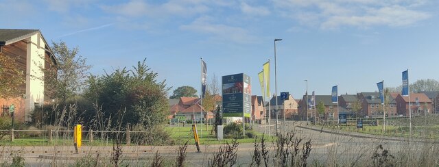
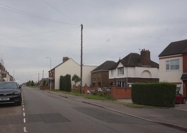
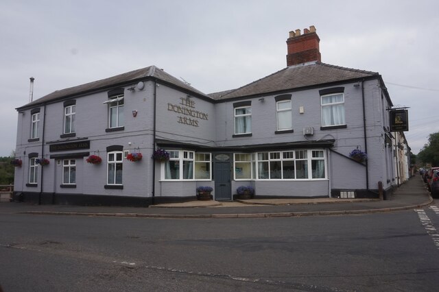
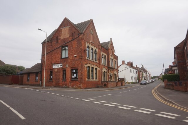
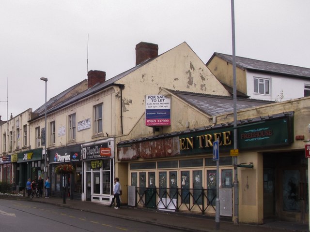
Donington le Heath Images
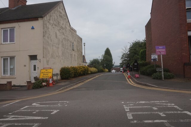
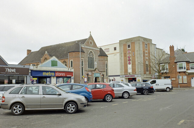
Images are sourced within 2km of 52.706731/-1.382039 or Grid Reference SK4112. Thanks to Geograph Open Source API. All images are credited.


Donington le Heath is located at Grid Ref: SK4112 (Lat: 52.706731, Lng: -1.382039)
Administrative County: Leicestershire
District: North West Leicestershire
Police Authority: Leicestershire
What 3 Words
///milder.larger.punctured. Near Coalville, Leicestershire
Nearby Locations
Related Wikis

Donington le Heath
Donington le Heath is a village on the River Sence just over 1 mile (1.6 km) south of the centre of Coalville in North West Leicestershire. Donington is...
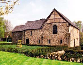
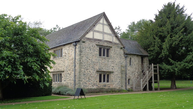
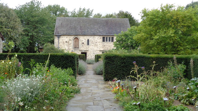
Donington le Heath Manor House Museum
Donington le Heath Manor House Museum, now 'The 1620s House and Garden at Donington le Heath' is a surviving example of a manor house built over seven...

Hugglescote and Donington le Heath
Hugglescote and Donington le Heath is a civil parish in North West Leicestershire, England. It includes the villages of Hugglescote and Donington le Heath...

Hugglescote railway station
Hugglescote railway station is a disused railway station on the former Ashby and Nuneaton Joint Railway. It served the large village of Hugglescote where...
Nearby Amenities
Located within 500m of 52.706731,-1.382039Have you been to Donington le Heath?
Leave your review of Donington le Heath below (or comments, questions and feedback).