Donington Eaudike

Settlement in Lincolnshire South Holland

England

Donington Eaudike

Bar Cottage, Bicker Bar, A52 near Boston Ex Toll House in the village of Bicker Bar. It would have served the Donnington Turnpike Trust in the 18ᵗʰ & 19ᵗʰ C.

Milestone Society National ID: LI.BIC
Bar Cottage, Bicker Bar, A52 near Boston Credit: Hilary Jones

The requested URL returned error: 429 Too Many Requests

If you have any feedback on the listing, please let us know in the comments section below.

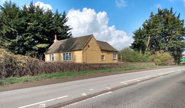
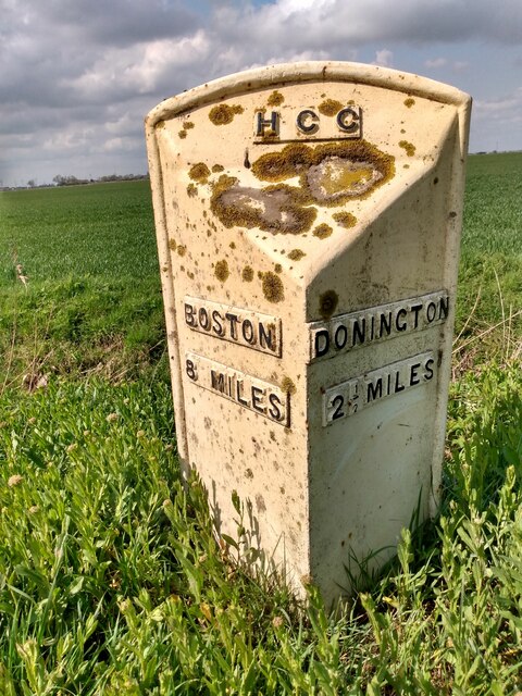
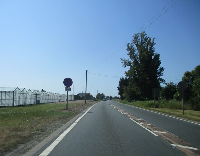
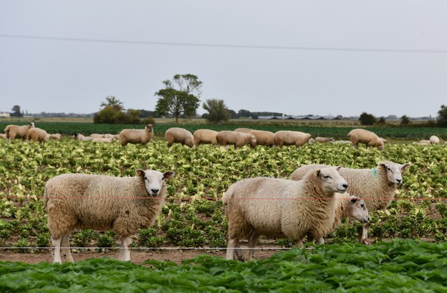
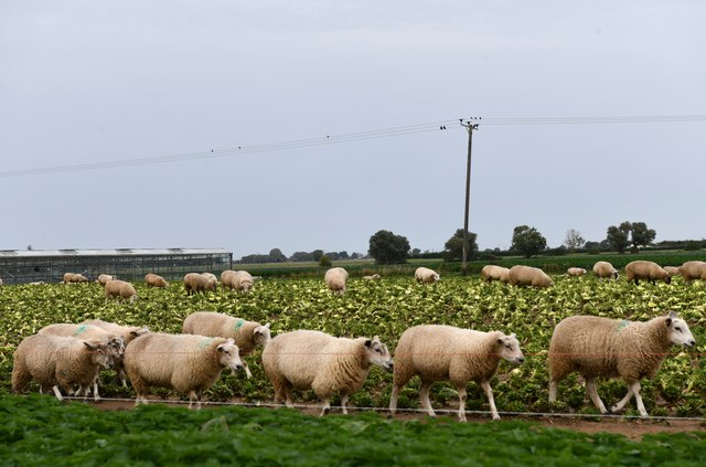
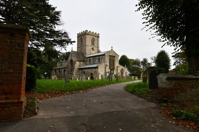
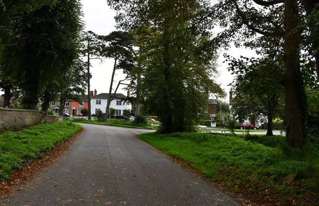
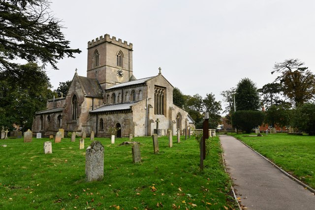
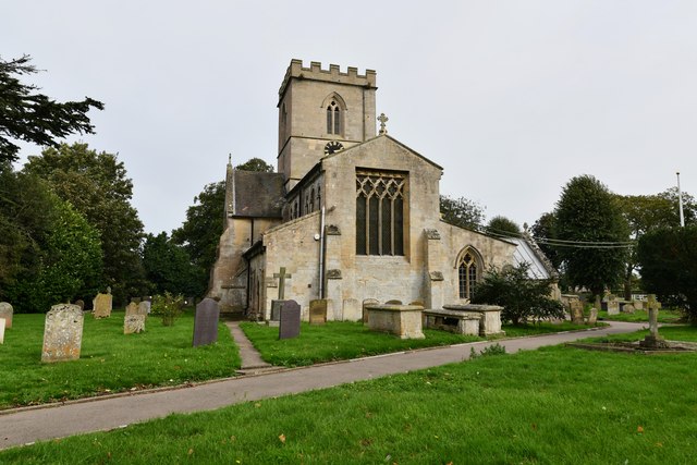
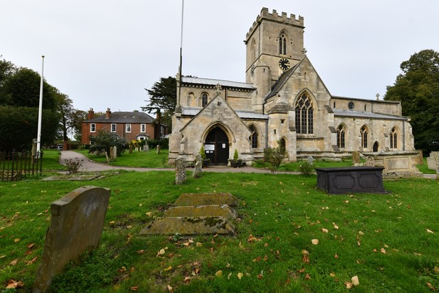
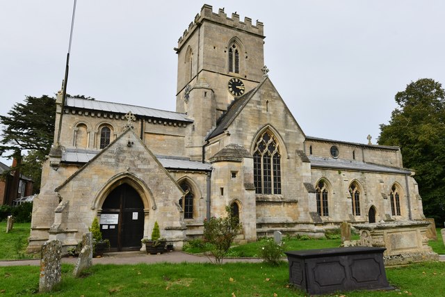
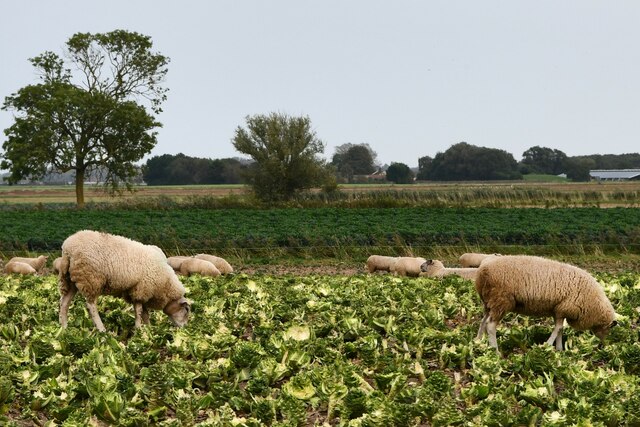
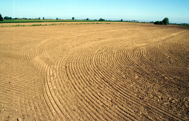
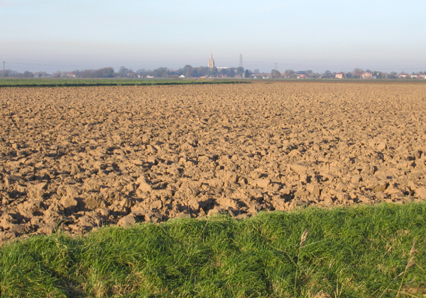
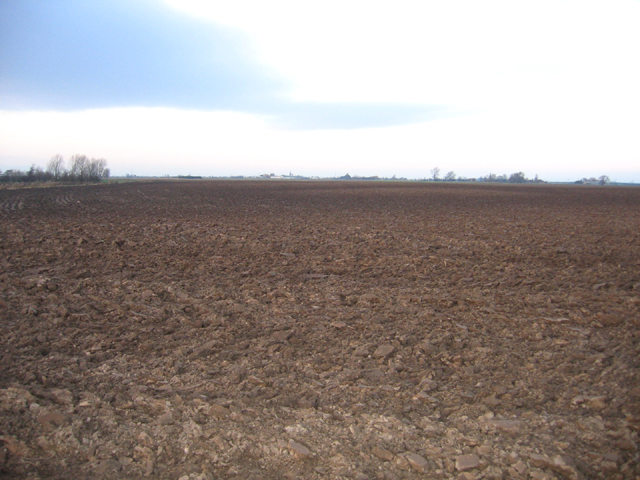
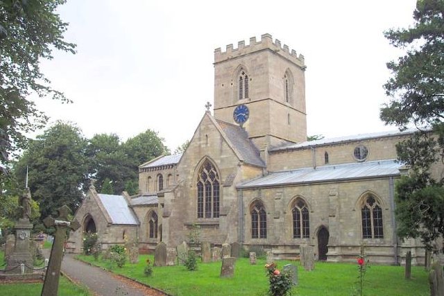
Donington Eaudike Images

Images are sourced within 2km of 52.9143/-0.1704 or Grid Reference TF2336. Thanks to Geograph Open Source API. All images are credited.

Bar Cottage, Bicker Bar, A52 near Boston Ex Toll House in the village of Bicker Bar. It would have served the Donnington Turnpike Trust in the 18ᵗʰ & 19ᵗʰ C.

Milestone Society National ID: LI.BIC
Bar Cottage, Bicker Bar, A52 near Boston
Ex Toll House in the village of Bicker Bar. It would have served the Donnington Turnpike Trust in the 18ᵗʰ & 19ᵗʰ C. Milestone Society National ID: LI.BIC
Old Milestone by A52, Donington Road, near Bar Farm The Milestone is located on the verge on the North of the road.  Parish of Bicker (Boston District). Cast iron post, Boston iron casting design, erected by the County Council in the 19th Century. An earlier photograph can be found here: <a title="https://www.geograph.org.uk/photo/6728712" href="https://www.geograph.org.uk/photo/6728712">Link</a> 

Inscription reads:-  
BOSTON / 8 MILES : : DONINGTON / 2½ MILES: : HCC  

Milestone Society National ID: LI_BODN08
Old Milestone by A52, Donington Road, near Bar Farm
The Milestone is located on the verge on the North of the road.  Parish of Bicker (Boston District). Cast iron post, Boston iron casting design, erected by the County Council in the 19th Century. An earlier photograph can be found here: Link  Inscription reads:- BOSTON / 8 MILES : : DONINGTON / 2½ MILES: : HCC Milestone Society National ID: LI_BODN08
Entering  Hoffleet  Stow  on  A17 A very large area of greenhouses to the left
Entering Hoffleet Stow on A17
A very large area of greenhouses to the left
Hoffleet Stow: Sheep in a field of cabbage stalks
Donington: Crop
Donington: Crop
Donington: Crop
Donington: Crop
Bicker, St. Swithin's Church
Bicker: Church Road
Bicker: Church Road
Bicker, St. Swithin's Church: North western aspect
Bicker, St. Swithin's Church: Western aspect
Bicker, St. Swithin's Church: Southern aspect
Hoffleet Stow: Sheep in a field of cabbage stalks
Farmland near Bicker Taken looking north from the B1181 in one of the flattest parts of the fens.
Farmland near Bicker
Taken looking north from the B1181 in one of the flattest parts of the fens.
Farmland near Bicker Bar, Lincs View N across the square from the A52 Donington Road towards Swineshead church in the distance.
Farmland near Bicker Bar, Lincs
View N across the square from the A52 Donington Road towards Swineshead church in the distance.
Farmland, Mill Lane, Bicker, Lincs View N from the B1181. This is one of the hilliest, not flattest, parts of the Fens; once the Bicker Haven tidal estuary, this farmland occurs on depositional banks of pale-toned silt, saltern remnants and intervening low-lying darker former creek beds.  The contours on the map show these 'hills' to rise to over 5 metres above sea level.
Farmland, Mill Lane, Bicker, Lincs
View N from the B1181. This is one of the hilliest, not flattest, parts of the Fens; once the Bicker Haven tidal estuary, this farmland occurs on depositional banks of pale-toned silt, saltern remnants and intervening low-lying darker former creek beds. The contours on the map show these 'hills' to rise to over 5 metres above sea level.
St. Swithin, Bicker
St. Swithin, Bicker
Show me another place!

Donington Eaudike is located at Grid Ref: TF2336 (Lat: 52.9143, Lng: -0.1704)

Division: Parts of Holland

Administrative County: Lincolnshire

District: South Holland

Police Authority: Lincolnshire

What 3 Words

///digress.massaged.candy. Near Donington, Lincolnshire

Nearby Locations

Donington Eaudike

Related Wikis

Bicker Bar

Bicker Bar is a village in Lincolnshire, England. It is in the civil parish of Bicker == External links == Media related to Bicker Bar at Wikimedia Commons

Bicker, Lincolnshire

Bicker is a village in the Borough of Boston, Lincolnshire, England. The population of the village was 941 at the 2011 census. It is situated approximately...

Cowley Academy

Cowley Academy (formally The Thomas Cowley High School) is a mixed secondary school with Academy status, in Donington, Lincolnshire, England. As of 1 September...

Donington, Lincolnshire

Donington is a village and civil parish in the South Holland district of Lincolnshire, England. It is 8 miles (13 km) north from the market town of Spalding...

Nearby Amenities

Located within 500m of 52.9143,-0.1704
Donington Eaudike
Place: hamlet
Source: Bing
Lat/Long: 52.9128641/-0.1686874
Eaudike Farm
Place: farm
Source: Bing
Lat/Long: 52.9143353/-0.1703714
East Cottage
Place: isolated_dwelling
Source: Bing
Lat/Long: 52.9133256/-0.1662776
The data included in this document is from www.openstreetmap.org. The data is made available under ODbL.

Have you been to Donington Eaudike?

Leave your review of Donington Eaudike below (or comments, questions and feedback).