Abel Wood
Wood, Forest in Oxfordshire West Oxfordshire
England
Abel Wood
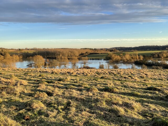
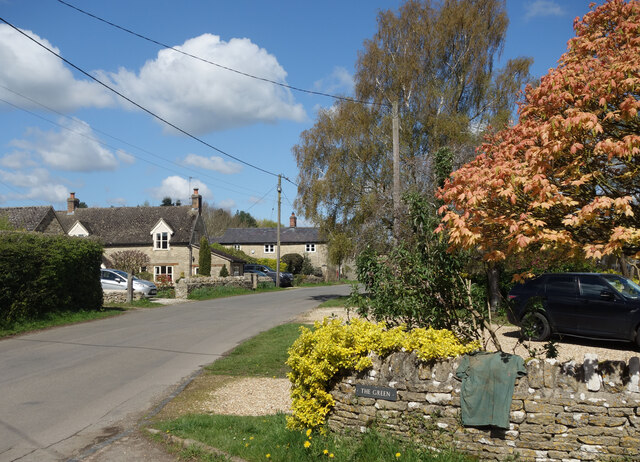
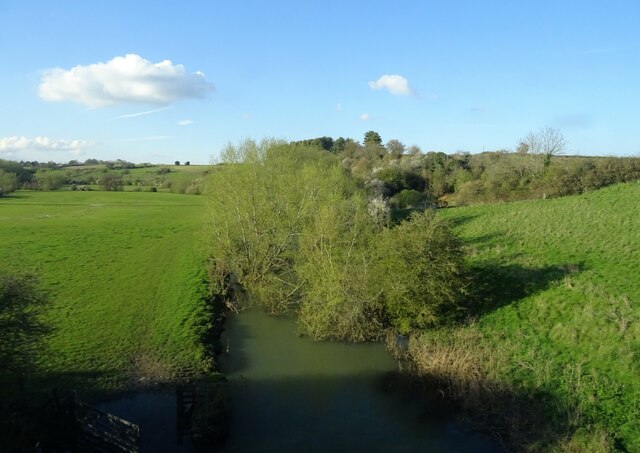
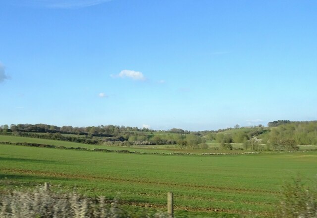
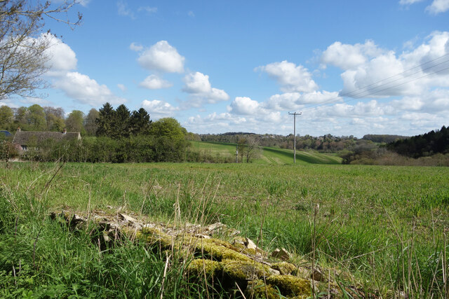
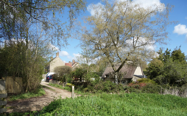
Abel Wood, located in Oxfordshire, is a serene and picturesque forest that covers an area of approximately 500 acres. Situated on the outskirts of the quaint village of Abel, this woodland is a haven for nature lovers and outdoor enthusiasts alike.
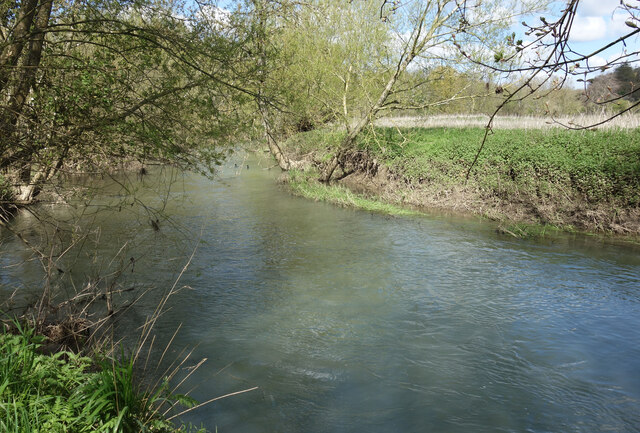
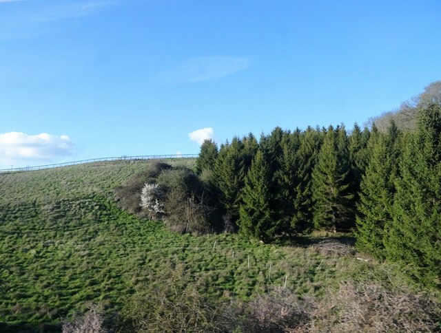
The forest is primarily composed of oak, beech, and birch trees, which create a dense canopy and provide a habitat for a diverse range of wildlife. Birdwatchers will be delighted to spot species such as woodpeckers, owls, and various songbirds. Additionally, the forest is home to small mammals like rabbits, foxes, and squirrels.
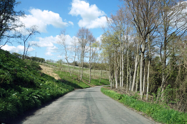
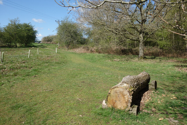
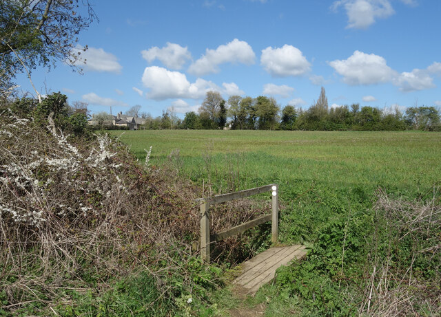
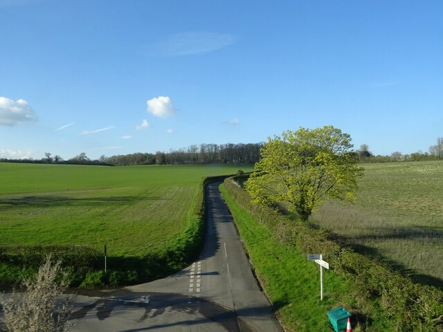
Abel Wood offers a network of well-maintained footpaths and trails, making it an ideal destination for hikers, joggers, and dog walkers. The paths wind through the forest, offering breathtaking views of the surrounding countryside and occasional glimpses of ancient ruins hidden among the trees.
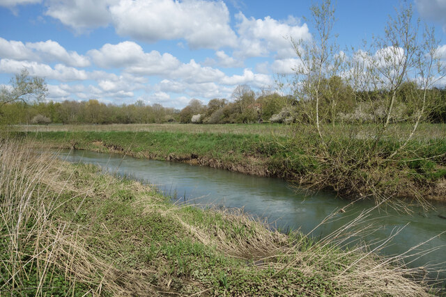
For those seeking tranquility, Abel Wood is the perfect spot for a peaceful picnic or a leisurely stroll. The forest boasts several open clearings with picnic tables and benches, allowing visitors to relax and immerse themselves in the natural beauty of their surroundings.
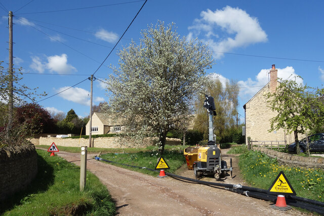
Although secluded, Abel Wood is easily accessible by car, with ample parking facilities available on-site. Visitors can also reach the forest via public transport, with a bus stop conveniently located just a short walk away.
In summary, Abel Wood in Oxfordshire offers a tranquil escape from the hustle and bustle of everyday life. With its diverse wildlife, well-maintained trails, and scenic picnic spots, this woodland is a must-visit destination for nature enthusiasts and those seeking a peaceful retreat.
If you have any feedback on the listing, please let us know in the comments section below.
Abel Wood Images
Images are sourced within 2km of 51.829226/-1.4148403 or Grid Reference SP4014. Thanks to Geograph Open Source API. All images are credited.
Abel Wood is located at Grid Ref: SP4014 (Lat: 51.829226, Lng: -1.4148403)
Administrative County: Oxfordshire
District: West Oxfordshire
Police Authority: Thames Valley
What 3 Words
///samples.thickened.limped. Near North Leigh, Oxfordshire
Nearby Locations
Related Wikis

Sturt Copse
Sturt Copse is a 6.5-hectare (16-acre) biological Site of Special Scientific Interest north-west of Oxford in Oxfordshire.This wood has many giant stools...
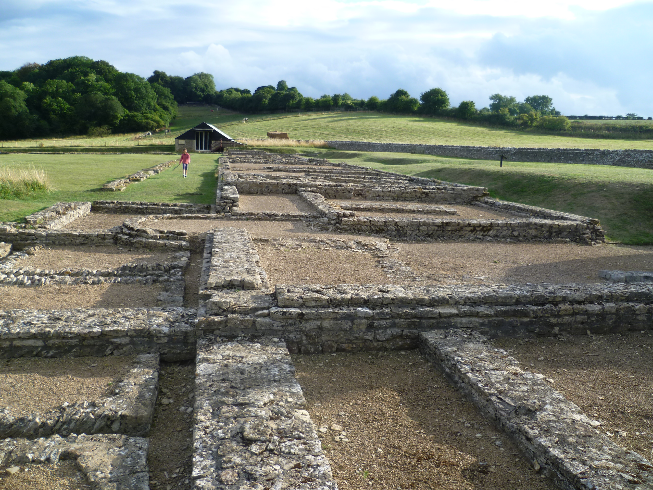
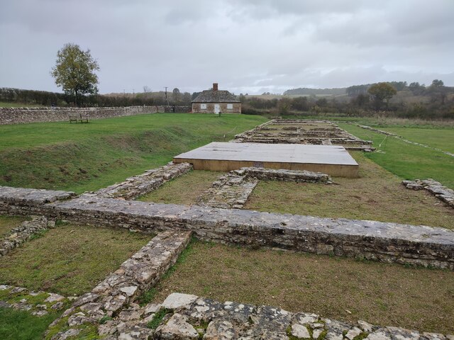
North Leigh Roman Villa
North Leigh Roman Villa was a Roman courtyard villa in the Evenlode Valley about 0.5 miles (800 m) north of the hamlet of East End in North Leigh civil...

Combe Mill
Combe Mill is a historic sawmill adjacent to the River Evenlode and close to Combe railway station, between the villages of Combe and Long Hanborough in...

Combe, Oxfordshire
Combe is a village and civil parish about 5 miles (8 km) northeast of Witney in Oxfordshire. It is bounded to the south and southwest by the River Evenlode...
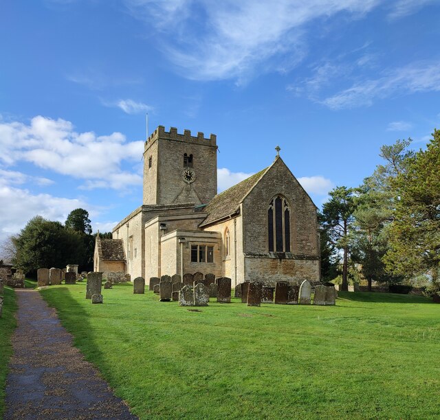
St Laurence's Church, Combe Longa
St Laurence's Church, Combe Longa is the Church of England parish church of Combe, Oxfordshire, England. The parish is part of the Benefice of Stonesfield...

Combe railway station
Combe railway station serves the village of Combe in Oxfordshire, England. It is on the Cotswold Line. This station and all trains serving it are run by...

Long Hanborough
Long Hanborough is a village in Hanborough civil parish, about 4 miles (6.4 km) northeast of Witney in West Oxfordshire, England. The village is the major...

Ramsden, Oxfordshire
Ramsden is a village and civil parish about 3+1⁄2 miles (5.6 km) north of Witney in West Oxfordshire. The 2011 Census recorded the parish's population...
Nearby Amenities
Located within 500m of 51.829226,-1.4148403Have you been to Abel Wood?
Leave your review of Abel Wood below (or comments, questions and feedback).