Chessell Down
Wood, Forest in Hampshire
England
Chessell Down
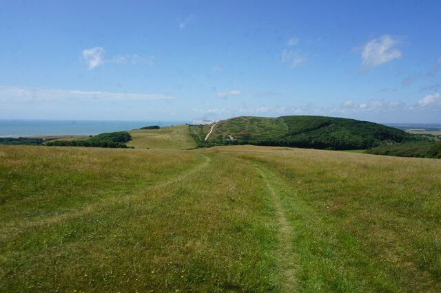
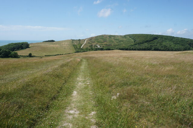
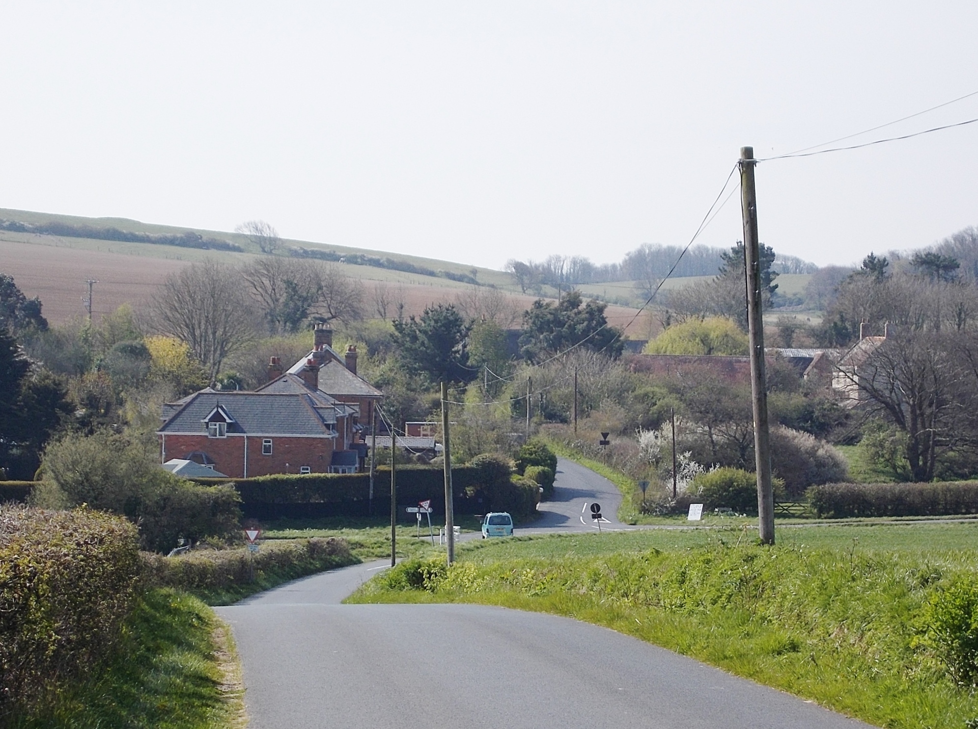
Chessell Down is a picturesque woodland area located in the county of Hampshire, England. Situated near the village of Shalfleet, it covers an expansive area of approximately 200 acres. The down is predominantly characterized by its lush and dense forests, making it a haven for nature lovers and outdoor enthusiasts.
The woodland of Chessell Down boasts a diverse range of flora and fauna, with a particular emphasis on native species. Visitors can expect to encounter a variety of trees, such as oak, beech, and ash, which provide a stunning display of colors throughout the year. The forest floor is adorned with an array of wildflowers, including bluebells and primroses, adding a touch of vibrancy to the landscape.
The area is home to a wide range of wildlife, including numerous bird species, such as woodpeckers and nightingales, making it a paradise for birdwatchers. Foxes, badgers, and deer can also be spotted, adding to the allure of the natural environment.
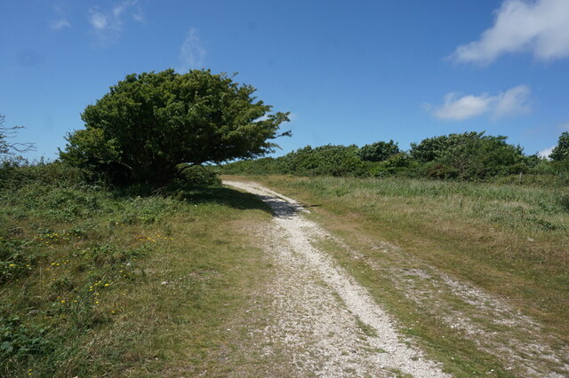
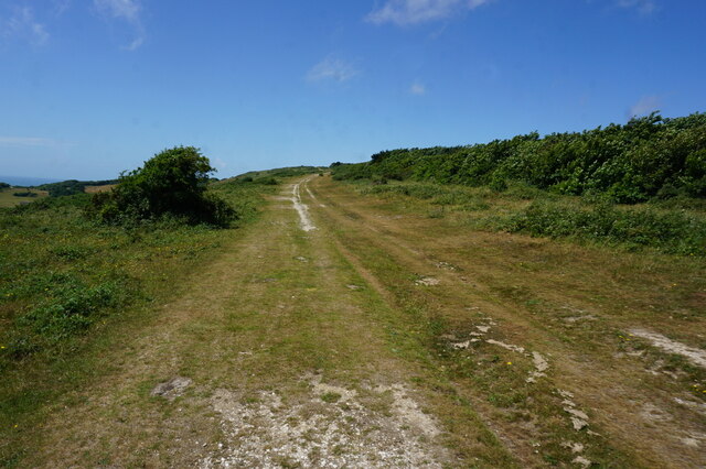
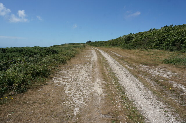
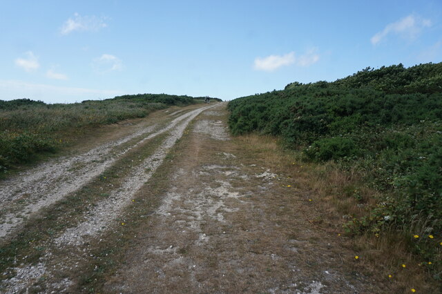
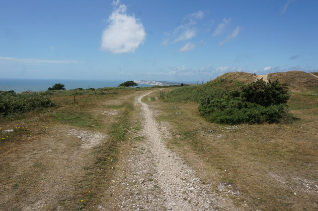
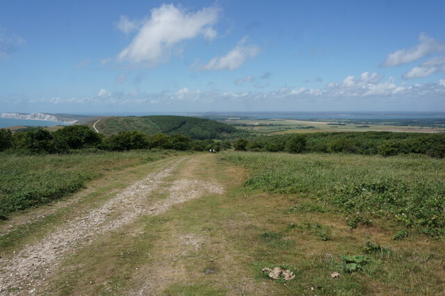
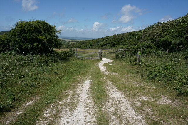
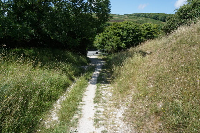
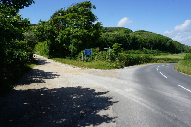
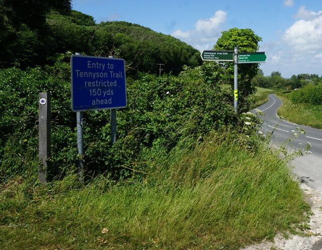
Chessell Down offers a network of well-maintained walking trails, providing an opportunity for visitors to explore the woodland and enjoy the tranquility of the surroundings. The paths wind through the forest, offering stunning views of the countryside and glimpses of the nearby coastline.
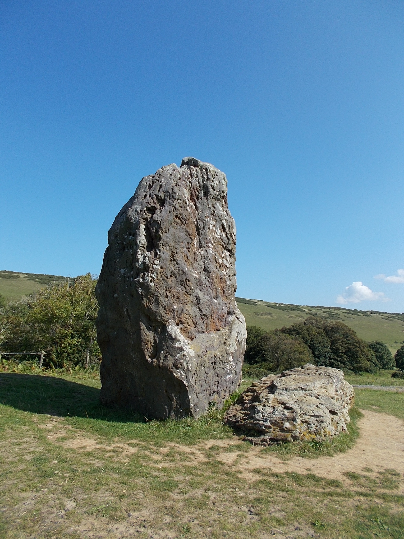
The down is also steeped in history, with archaeological evidence suggesting human habitation dating back to the Bronze Age. Excavations have uncovered ancient burial mounds and artifacts, providing insight into the area's past.
Overall, Chessell Down in Hampshire is a captivating woodland retreat, offering a blend of natural beauty, wildlife, and historical significance, making it a must-visit destination for nature enthusiasts and history buffs alike.
If you have any feedback on the listing, please let us know in the comments section below.
Chessell Down Images
Images are sourced within 2km of 50.664247/-1.4294479 or Grid Reference SZ4085. Thanks to Geograph Open Source API. All images are credited.


Chessell Down is located at Grid Ref: SZ4085 (Lat: 50.664247, Lng: -1.4294479)
Unitary Authority: Isle of Wight
Police Authority: Hampshire
What 3 Words
///punt.materials.skills. Near Brighstone, Isle of Wight
Nearby Locations
Related Wikis

Westover Down
Westover Down is a chalk down on the Isle of Wight. It is located close to the village of Brook, in the southwest of the island, and rises to 205 metres...
Chessell
Chessell is a hamlet on the Isle of Wight, England, towards the west in an area known as the Back of the Wight on the B3401 road. Public transport used...
The Longstone, Mottistone
The Longstone is a megalithic monument near the village of Mottistone, close to the south west coast of the Isle of Wight. It is the only megalithic monument...
Shalcombe
Shalcombe is a hamlet on the Isle of Wight towards the west in an area known as West Wight. It is in the civil parish of Shalfleet. It is situated along...
1957 Aquila Airways Solent crash
The 1957 Aquila Airways Solent crash occurred on the Isle of Wight in England on 15 November. With 45 lives lost, at the time it was the second worst aircraft...

St Mary's Church, Brook
St Mary's Church, Brook is a parish church in the Church of England located in Brook, Isle of Wight. == History == The church dates from 1864 by the architect...

Hulverstone
Hulverstone is a hamlet of about 12 houses on the Isle of Wight on the edge of the English Channel. It has a post office in a private home and the 400...

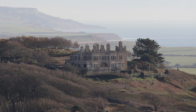
Mottistone Manor
Mottistone Manor is a National Trust property in the village of Mottistone on the Isle of Wight, England. It has popular gardens and is a listed building...
Nearby Amenities
Located within 500m of 50.664247,-1.4294479Have you been to Chessell Down?
Leave your review of Chessell Down below (or comments, questions and feedback).