Brook Hill
Hill, Mountain in Oxfordshire West Oxfordshire
England
Brook Hill
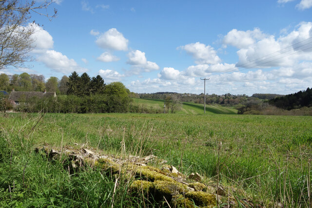
Brook Hill is a picturesque hill located in the enchanting county of Oxfordshire, England. Situated in the southern part of the county, it is part of the Chiltern Hills, a range of rolling chalk hills famed for their natural beauty and scenic landscapes. Standing at an elevation of approximately 250 meters (820 feet), Brook Hill offers breathtaking panoramic views of the surrounding countryside.
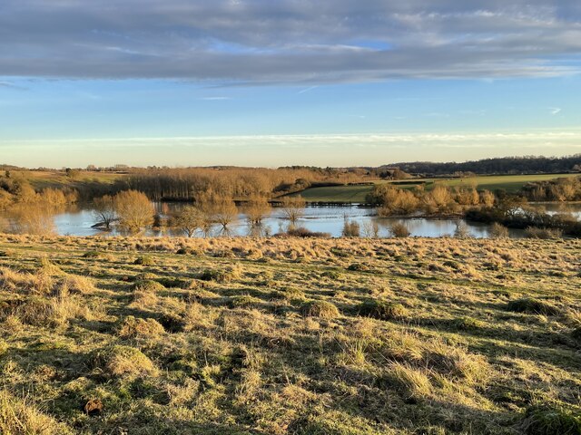
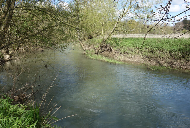
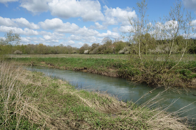
Covered in lush greenery and dotted with charming wildflowers, the hill is a haven for nature enthusiasts and hikers alike. Its slopes are adorned with ancient woodlands and meandering brooks, creating a serene and tranquil atmosphere. The hill is also home to a diverse range of wildlife, including rabbits, foxes, and various species of birds, making it a perfect spot for birdwatching.
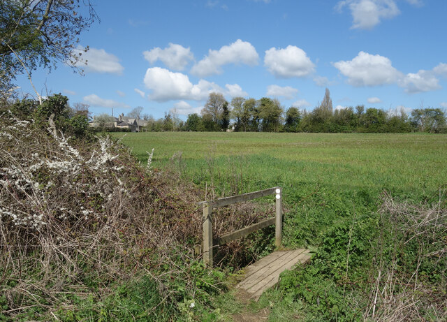
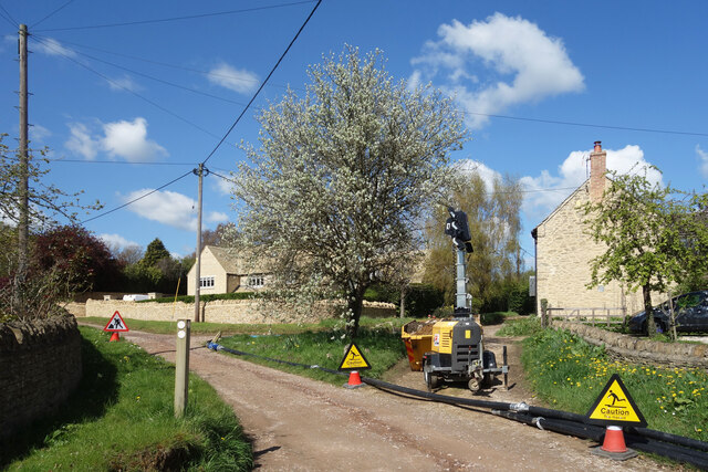
Brook Hill is a popular destination for outdoor activities, attracting locals and tourists throughout the year. Its well-maintained footpaths and trails cater to walkers and cyclists, offering an opportunity to explore the surrounding area at one's own pace. The hill is also a favorite spot for picnickers, providing ample space for families and friends to relax and enjoy the stunning views.
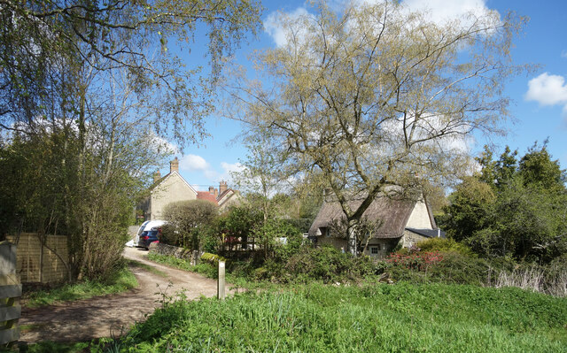
In addition to its natural beauty, Brook Hill boasts a rich historical heritage. The nearby village of Oxfordshire is renowned for its medieval charm, with remnants of ancient settlements and historic landmarks scattered throughout the area. Visitors can delve into the region's past by exploring nearby castles, manor houses, and churches, all within a short distance from the hill.
Overall, Brook Hill in Oxfordshire is a hidden gem, offering a perfect blend of natural splendor and historical significance. Whether one seeks a peaceful retreat in the countryside or an adventure-filled hike, this hill provides an idyllic setting for all to enjoy.
If you have any feedback on the listing, please let us know in the comments section below.
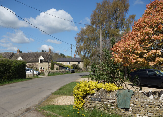
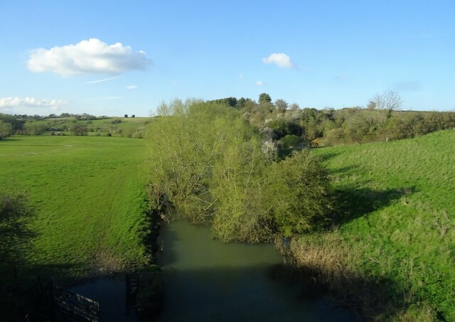
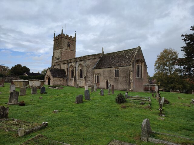
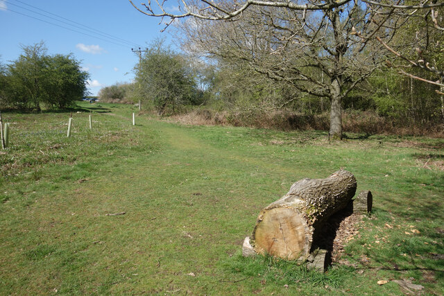
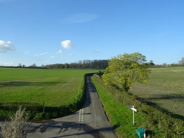
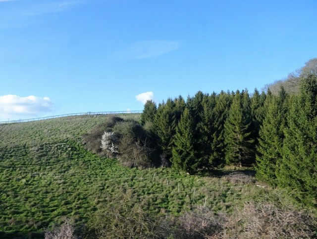
Brook Hill Images
Images are sourced within 2km of 51.831442/-1.4101387 or Grid Reference SP4014. Thanks to Geograph Open Source API. All images are credited.


Brook Hill is located at Grid Ref: SP4014 (Lat: 51.831442, Lng: -1.4101387)
Administrative County: Oxfordshire
District: West Oxfordshire
Police Authority: Thames Valley
What 3 Words
///begun.dumpling.escape. Near Stonesfield, Oxfordshire
Nearby Locations
Related Wikis

Sturt Copse
Sturt Copse is a 6.5-hectare (16-acre) biological Site of Special Scientific Interest north-west of Oxford in Oxfordshire.This wood has many giant stools...

Combe Mill
Combe Mill is a historic sawmill adjacent to the River Evenlode and close to Combe railway station, between the villages of Combe and Long Hanborough in...

Combe, Oxfordshire
Combe is a village and civil parish about 5 miles (8 km) northeast of Witney in Oxfordshire. It is bounded to the south and southwest by the River Evenlode...
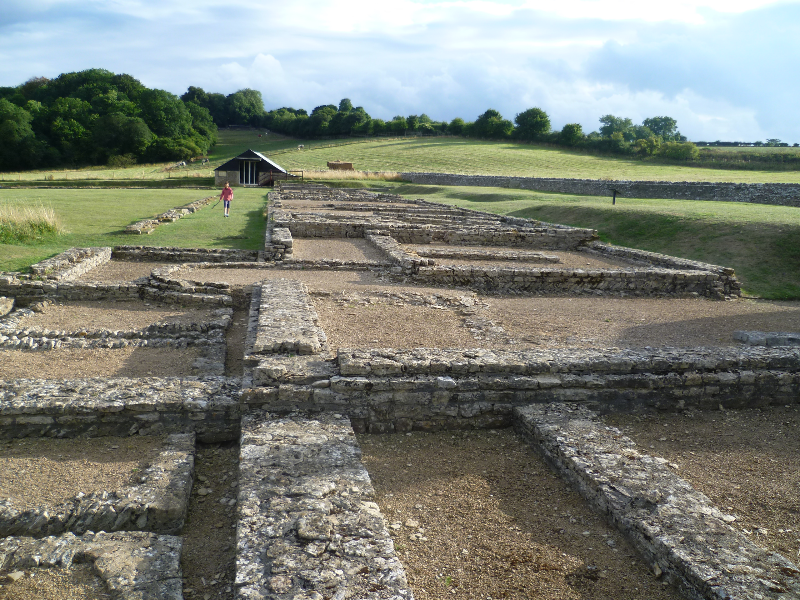
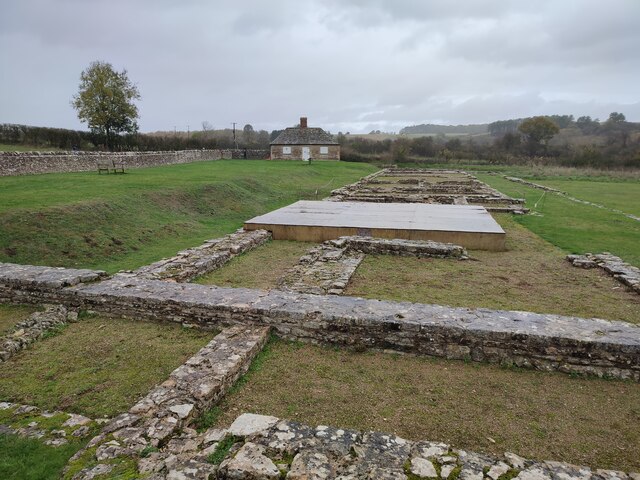
North Leigh Roman Villa
North Leigh Roman Villa was a Roman courtyard villa in the Evenlode Valley about 0.5 miles (800 m) north of the hamlet of East End in North Leigh civil...
St Laurence's Church, Combe Longa
St Laurence's Church, Combe Longa is the Church of England parish church of Combe, Oxfordshire, England. The parish is part of the Benefice of Stonesfield...

Combe railway station
Combe railway station serves the village of Combe in Oxfordshire, England. It is on the Cotswold Line. This station and all trains serving it are run by...

Long Hanborough
Long Hanborough is a village in Hanborough civil parish, about 4 miles (6.4 km) northeast of Witney in West Oxfordshire, England. The village is the major...

The Bell Inn, Long Hanborough
The Bell Inn, Long Hanborough is a well-established Grade II listedrestaurant and public house in the village of Long Hanborough, Oxfordshire, England...
Nearby Amenities
Located within 500m of 51.831442,-1.4101387Have you been to Brook Hill?
Leave your review of Brook Hill below (or comments, questions and feedback).