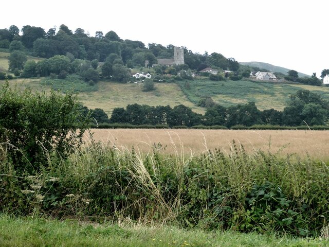
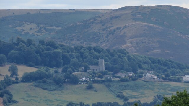
Dolyhir
Settlement in Radnorshire
Wales
Dolyhir
The requested URL returned error: 429 Too Many Requests
If you have any feedback on the listing, please let us know in the comments section below.
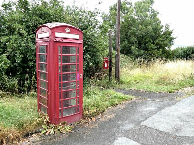
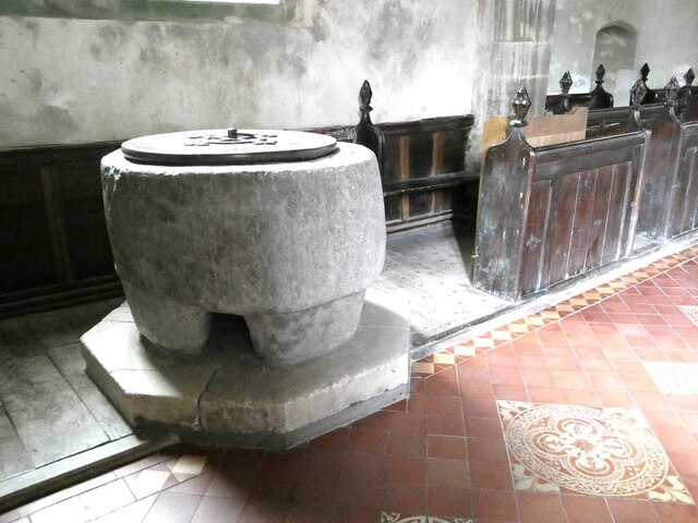
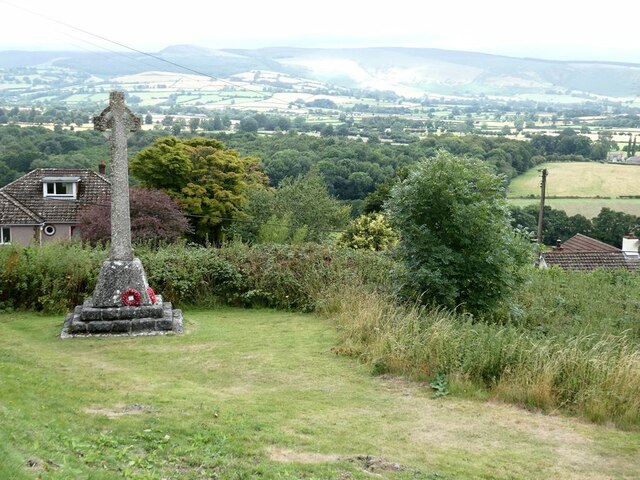
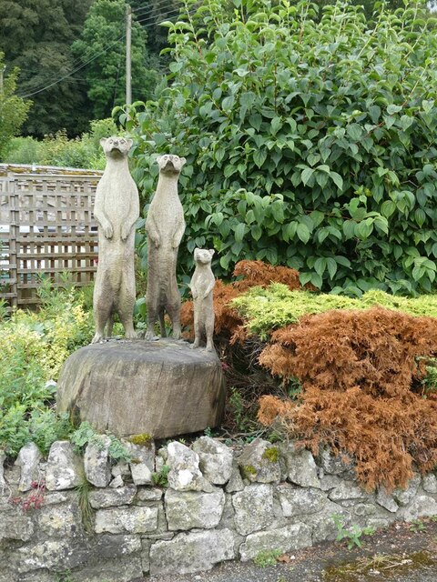
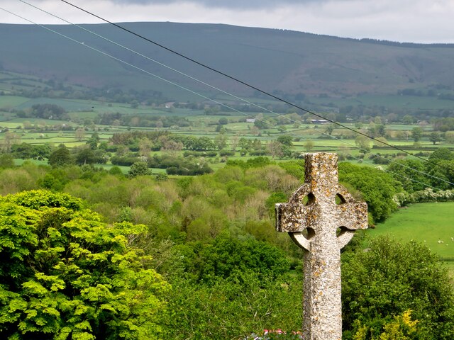
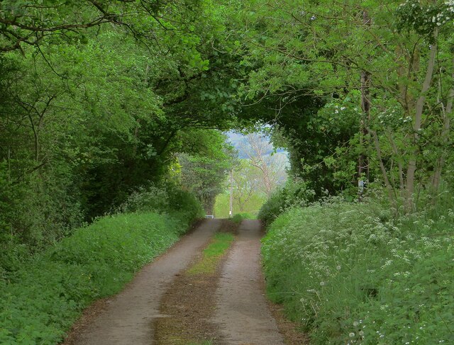
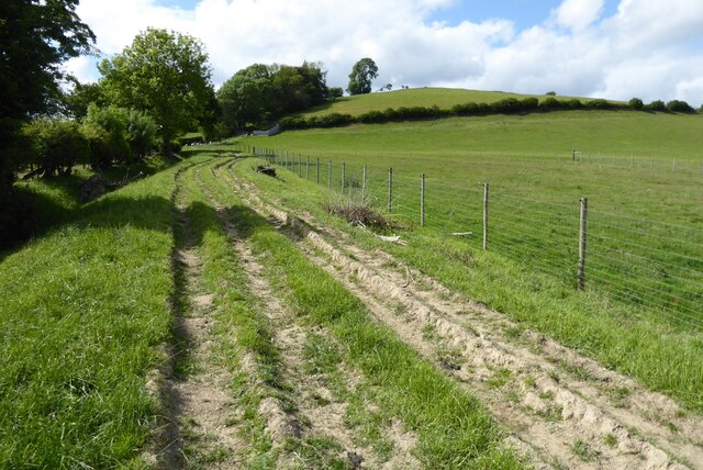
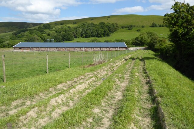
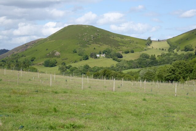
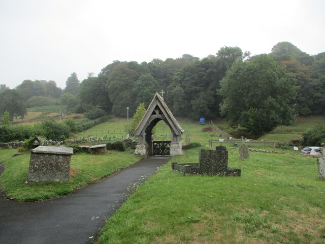
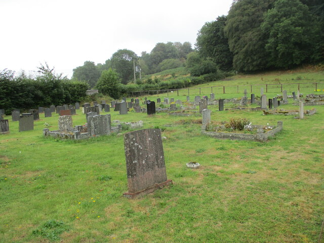
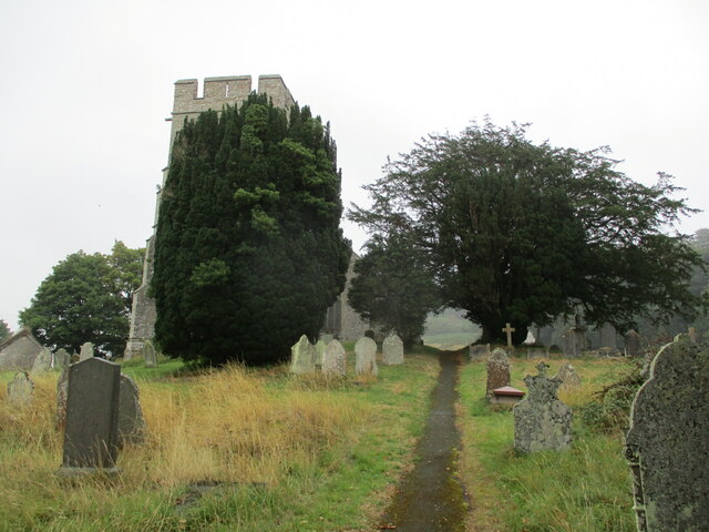
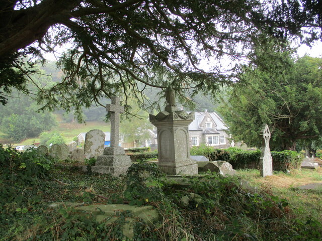
Dolyhir Images
Images are sourced within 2km of 52.216025/-3.11093 or Grid Reference SO2458. Thanks to Geograph Open Source API. All images are credited.
Dolyhir is located at Grid Ref: SO2458 (Lat: 52.216025, Lng: -3.11093)
Unitary Authority: Powys
Police Authority: Dyfed Powys
What 3 Words
///clumped.entry.unionists. Near Kington, Herefordshire
Related Wikis

Dolyhir railway station
Dolyhir railway station was a station in Dolyhir, Powys, Wales. The station opened in 1875 and closed in 1951. The station building survives today, and...

Old Radnor
Old Radnor (Welsh: Pencraig) is a village and community in Powys, Wales. The community includes Old Radnor and the villages of Yardro, Dolyhir, Burlingjobb...

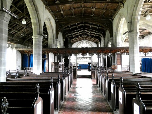
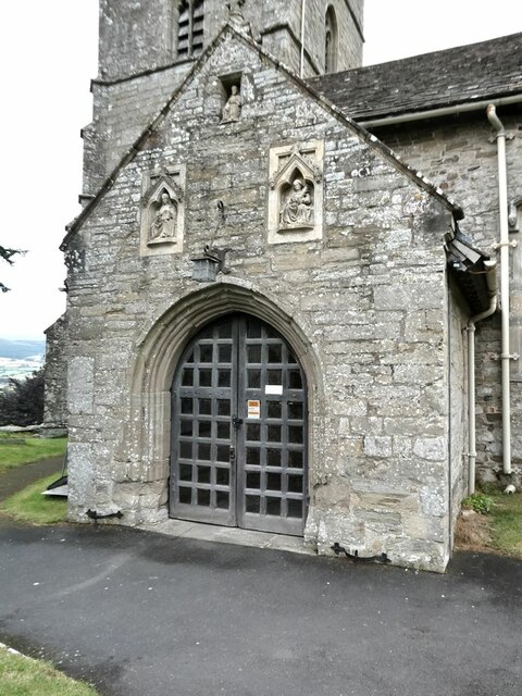
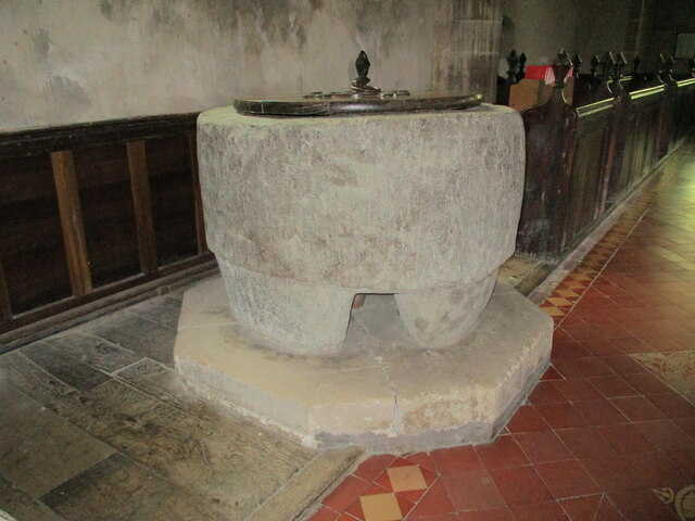
St Stephen's Church, Old Radnor
St Stephen's Church is a Church of England parish church in Old Radnor, Powys, Wales. It was constructed in the 15th century in perpendicular gothic style...

Castle Nimble
Castle Nimble (also called Knapp; Maes Hyfaidd; Maes Hyvaidd) was a motte and bailey defensive fortification near Old Radnor, in Radnorshire (modern-day...
Related Videos

A walk up Hergest Ridge
A trip in our VW T4 Camper to Radnorshire and Herefordshire.

VW Vanlife : Hergest Ridge
Day Two of an overnight wild camp in our T4 VW Ex AA Van Camper. Concluding with a long walk-end to end and back again- ...

Hawthorn Tree Drawing
A Hawthorn Tree drawing in the canopy on a windy day. The natural movement of the branches in the wind created the marks with ...

Holly Tree Drawing
A Holly Tree on Hergest Ridge drawing in the canopy on a windy day. The natural movement of the branches in the wind created ...
Nearby Amenities
Located within 500m of 52.216025,-3.11093Have you been to Dolyhir?
Leave your review of Dolyhir below (or comments, questions and feedback).