Dôl-y-gaer
Settlement in Brecknockshire
Wales
Dôl-y-gaer
The requested URL returned error: 429 Too Many Requests
If you have any feedback on the listing, please let us know in the comments section below.
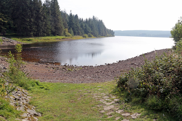
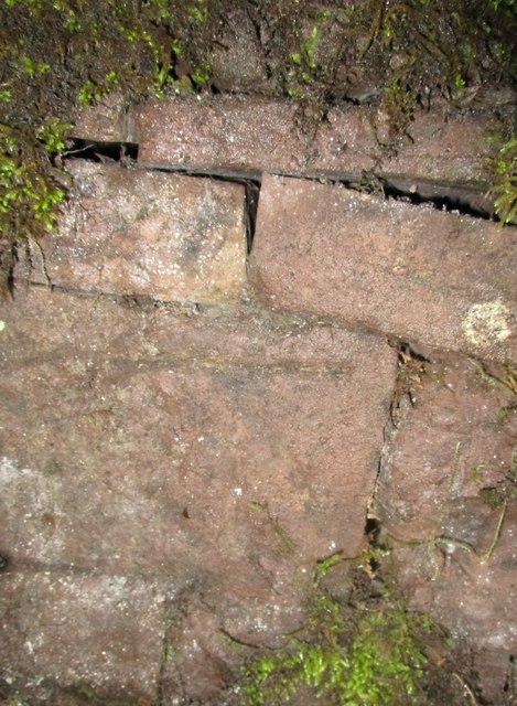
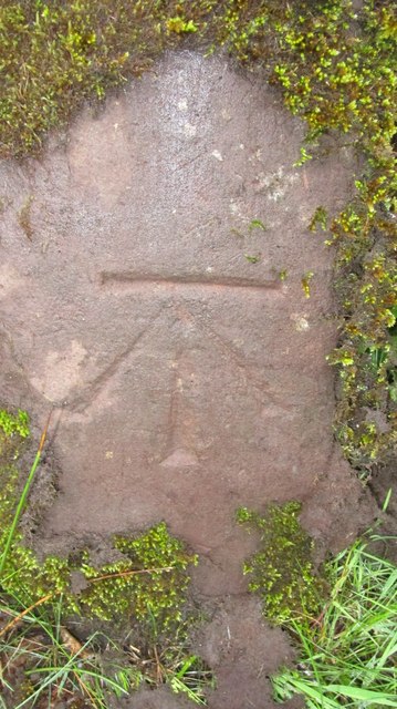
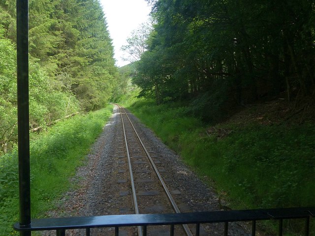
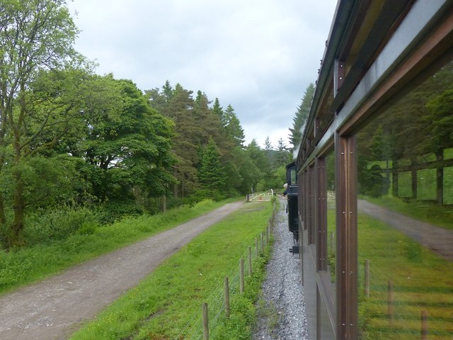
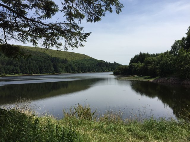
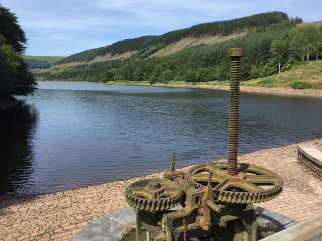
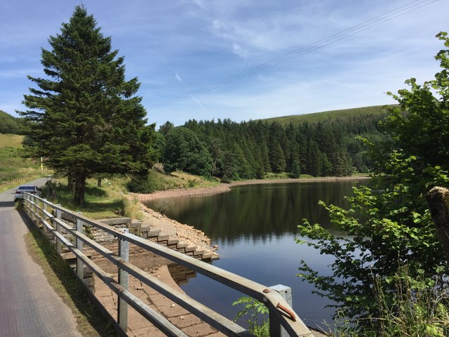
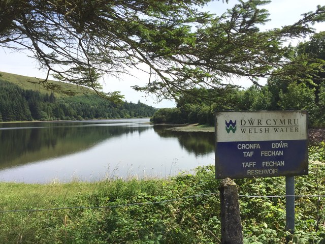
Dôl-y-gaer Images
Images are sourced within 2km of 51.816526/-3.3795873 or Grid Reference SO0514. Thanks to Geograph Open Source API. All images are credited.


Dôl-y-gaer is located at Grid Ref: SO0514 (Lat: 51.816526, Lng: -3.3795873)
Unitary Authority: Powys
Police Authority: Dyfed Powys
Also known as: Dolygaer
What 3 Words
///rely.slid.dumplings. Near Merthyr Tydfil
Nearby Locations
Related Wikis

Pontsticill Reservoir
Pontsticill Reservoir (Welsh: Cronfa Pontsticill) or Taf Fechan Reservoir is a large reservoir on the Taf Fechan lying partly in the county of Powys and...

Mid Glamorgan
Mid Glamorgan (Welsh: Morgannwg Ganol) is a preserved county of Wales. From 1974 until 1996 it was also an administrative county with a county council...

Dolygaer railway station
Dolygaer railway station (alternatively, Dol-y-gaer railway station) was a station serving the hamlet of Dol-y-gaer and the area adjacent to Pen-twyn Reservoir...

Brecon Mountain Railway
The Brecon Mountain Railway (Welsh: Rheilffordd Mynydd Brycheiniog) is a 1 ft 11+3⁄4 in (603 mm) narrow gauge tourist railway on the south side of the...
Nearby Amenities
Located within 500m of 51.816526,-3.3795873Have you been to Dôl-y-gaer?
Leave your review of Dôl-y-gaer below (or comments, questions and feedback).