Apple Pie Wood

Wood, Forest in Oxfordshire West Oxfordshire

England

Apple Pie Wood

Poor Bridge Ford, Great Tew This ford is known as Poor Bridge Ford close to the Great Tew estate.
Poor Bridge Ford, Great Tew Credit: John Walton

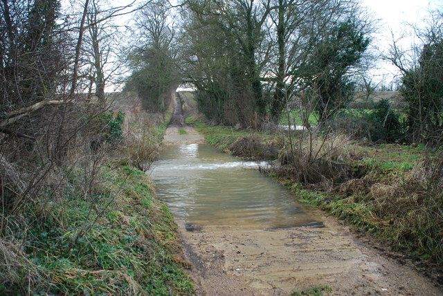
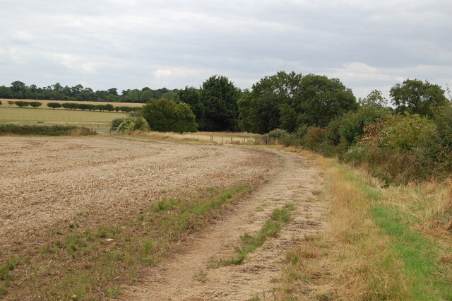
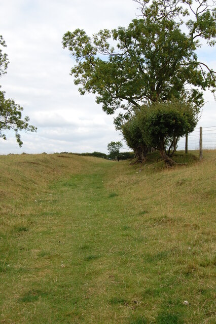
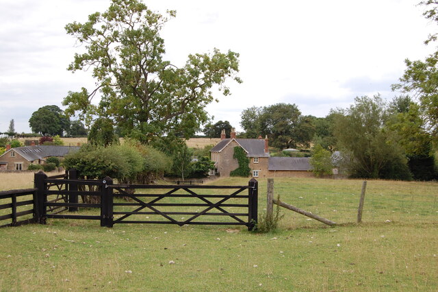
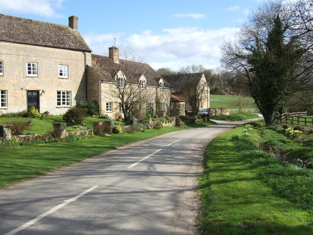
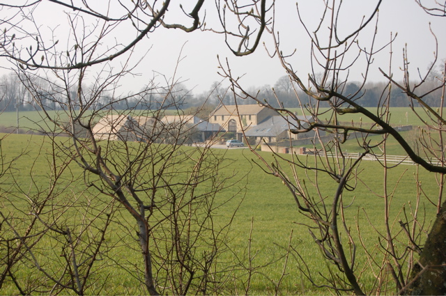
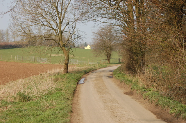
Apple Pie Wood is a picturesque woodland located in Oxfordshire, England. Spread across an area of approximately 50 acres, this enchanting forest is known for its stunning natural beauty and diverse range of flora and fauna. The wood is privately owned and managed, ensuring its preservation and conservation for future generations.

One of the main highlights of Apple Pie Wood is its abundant apple orchards, which give the wood its unique name. During the autumn season, the trees bear a bountiful harvest of apples, creating a delightful sight and a sweet aroma that fills the air. Visitors are often encouraged to pick their own apples, adding to the charm of this woodland experience.

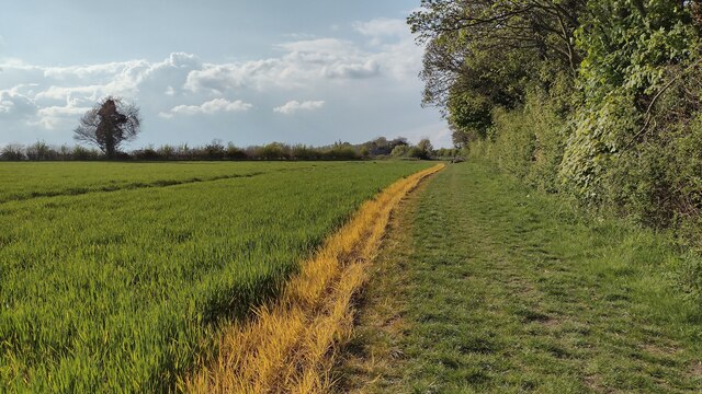
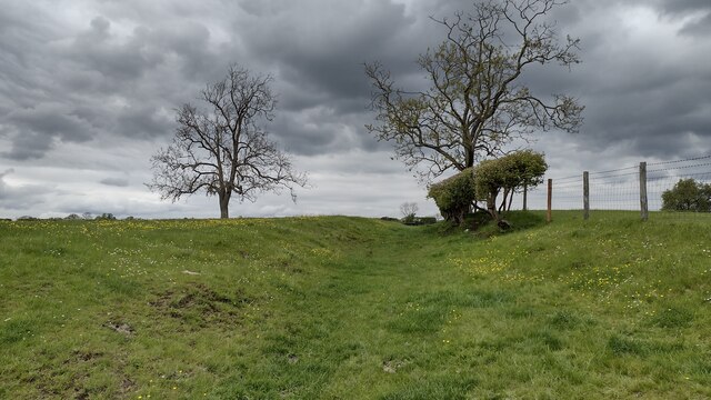
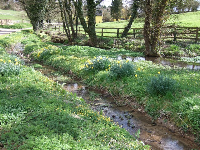
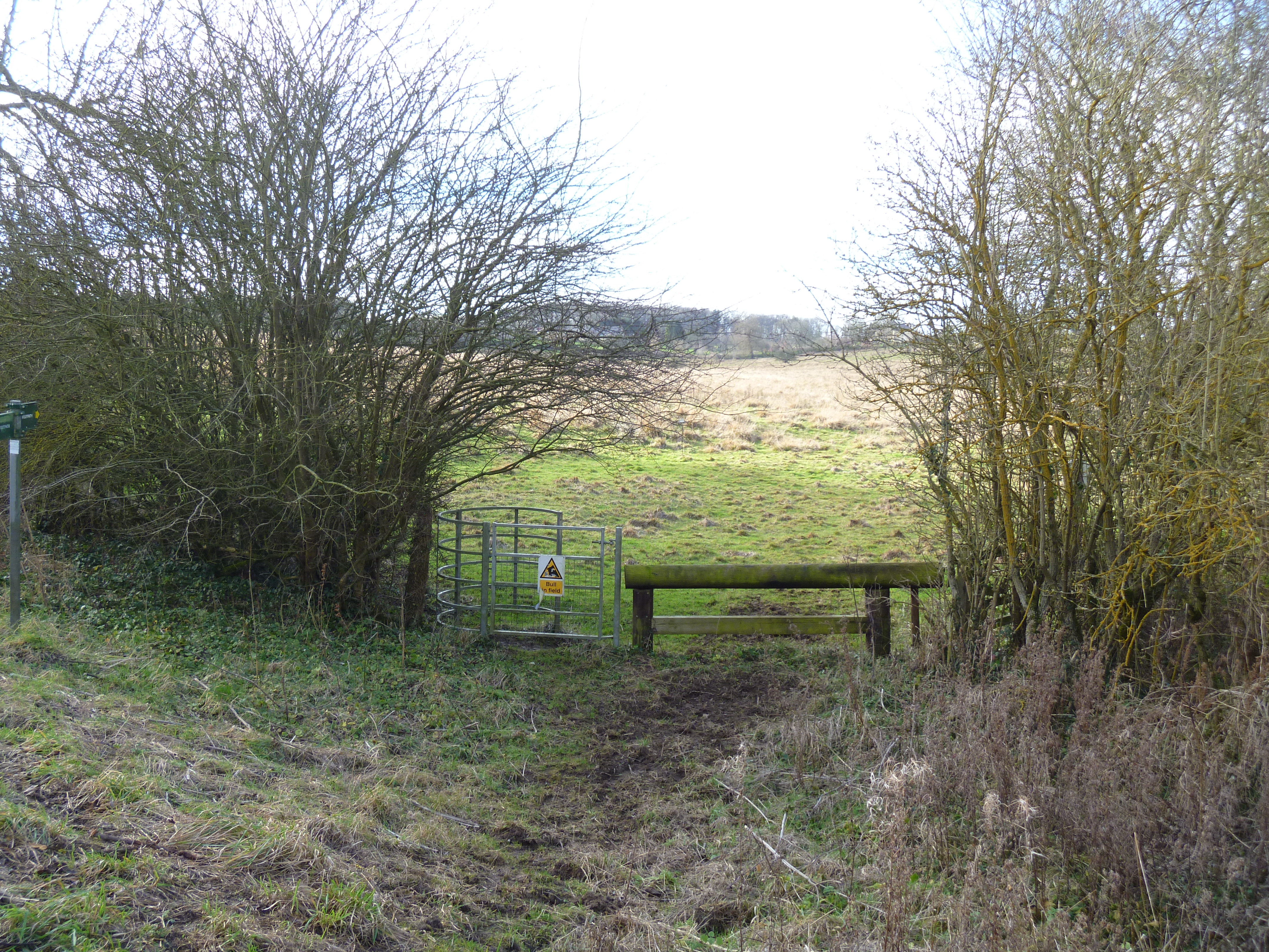
The woodland is a haven for nature enthusiasts, offering a tranquil sanctuary away from the hustle and bustle of urban life. It is home to a rich variety of plant species, including oak, beech, and birch trees, creating a lush and verdant environment. The diverse ecosystem supports a wide array of wildlife, including birds, squirrels, and deer, making it an ideal spot for birdwatching and wildlife photography.

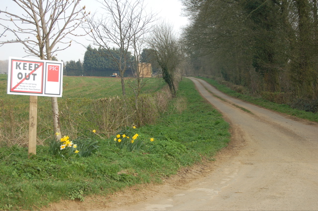
Apple Pie Wood is a popular destination for outdoor activities such as hiking, walking, and picnicking. Several well-maintained trails wind through the wood, providing visitors with the opportunity to explore its natural wonders at their own pace. The wood also features picnic areas with benches and tables, allowing visitors to relax and enjoy the serene surroundings while indulging in a homemade apple pie or other snacks.

Overall, Apple Pie Wood is a delightful destination for nature lovers, offering a picturesque setting, diverse wildlife, and a touch of autumnal charm with its apple orchards.

If you have any feedback on the listing, please let us know in the comments section below.

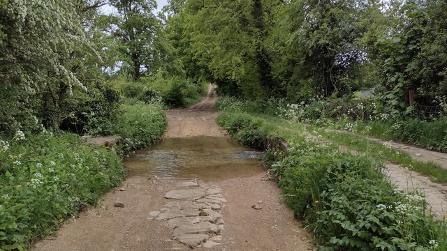
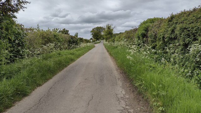
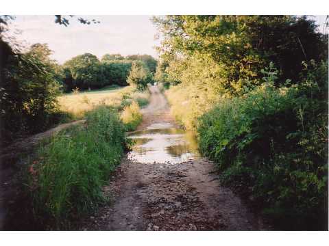
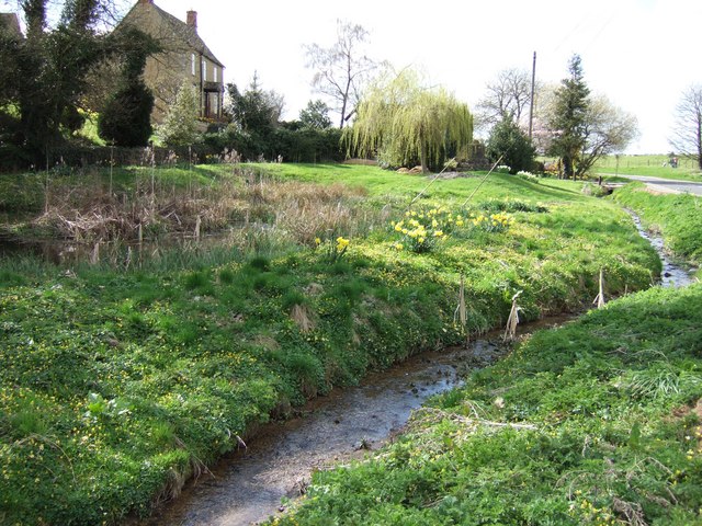
Apple Pie Wood Images

Images are sourced within 2km of 51.935333/-1.4248797 or Grid Reference SP3926. Thanks to Geograph Open Source API. All images are credited.

Poor Bridge Ford, Great Tew This ford is known as Poor Bridge Ford close to the Great Tew estate.
Poor Bridge Ford, Great Tew
This ford is known as Poor Bridge Ford close to the Great Tew estate.
Old Toll House, Cuckold's Holt Toll House by the B4030, in the parish of Westcot Barton, Toll house, Cuckolds Holt, OX6.

Grade II listed.
List Entry Number: 1052800 <span class="nowrap"><a title="https://historicengland.org.uk/listing/the-list/list-entry/1052800" rel="nofollow ugc noopener" href="https://historicengland.org.uk/listing/the-list/list-entry/1052800">Link</a><img style="margin-left:2px;" alt="External link" title="External link - shift click to open in new window" src="https://s1.geograph.org.uk/img/external.png" width="10" height="10"/></span>

Surveyed

Milestone Society National ID: OX.WEB02
Old Toll House, Cuckold's Holt
Toll House by the B4030, in the parish of Westcot Barton, Toll house, Cuckolds Holt, OX6. Grade II listed. List Entry Number: 1052800 LinkExternal link Surveyed Milestone Society National ID: OX.WEB02
Bridleway over old airfield track
Bridleway in hollowway
Gate across bridleway
Cuckold's Holt Farm Right on 90 degree bend.
Cuckold's Holt Farm
Right on 90 degree bend.
Bridleway heading to the B4030 Bridleway heading alongside the tree line to the B4030
Bridleway heading to the B4030
Bridleway heading alongside the tree line to the B4030
Bridleway heading to Poor Bridge From Gagingwell the bridleway heading to Poor Bridge
Bridleway heading to Poor Bridge
From Gagingwell the bridleway heading to Poor Bridge
Bridleway crosses Ford Bridleway crosses ford at Poor Bridge heading towards Gagingwell
Bridleway crosses Ford
Bridleway crosses ford at Poor Bridge heading towards Gagingwell
Straight lane with passing places Straight lane with passing places heading up towards Great Tew
Straight lane with passing places
Straight lane with passing places heading up towards Great Tew
Ford through River Dorn At the point where the road becomes a bridleway, with Poor Bridge alongside.
Ford through River Dorn
At the point where the road becomes a bridleway, with Poor Bridge alongside.
Gagingwell Springs Marshy land with springs in Gagingwell. There is the plinth of an old cross to the right, and partly obscured by, the weeping willow.
Gagingwell Springs
Marshy land with springs in Gagingwell. There is the plinth of an old cross to the right, and partly obscured by, the weeping willow.
Gagingwell - The lane to Radfordbridge Lovely Oxfordshire cottages in the hamlet of Gagingwell catch the early evening sunshine on this fine Spring day.
Gagingwell - The lane to Radfordbridge
Lovely Oxfordshire cottages in the hamlet of Gagingwell catch the early evening sunshine on this fine Spring day.
Spring springs & daffodils, Gagingwell The old stone plinth (presumably belonging to an ancient cross hence my categorization) is wept over by a willow. This land is very marshy with springs, pools and a little stream.
Spring springs & daffodils, Gagingwell
The old stone plinth (presumably belonging to an ancient cross hence my categorization) is wept over by a willow. This land is very marshy with springs, pools and a little stream.
Spring, Pool & Stream : Gagingwell The title says it all really - except I could add daffodils I suppose !
Spring, Pool & Stream : Gagingwell
The title says it all really - except I could add daffodils I suppose !
"Keep Out" of Beaconsfield Farm
Millers Barn What appears to be a large barn conversion.
Millers Barn
What appears to be a large barn conversion.
Country lane south of Gagingwell
Show me another place!

Apple Pie Wood is located at Grid Ref: SP3926 (Lat: 51.935333, Lng: -1.4248797)

Administrative County: Oxfordshire

District: West Oxfordshire

Police Authority: Thames Valley

What 3 Words

///thighs.sandpaper.options. Near Hook Norton, Oxfordshire

Nearby Locations

Apple Pie Wood

Related Wikis

Enstone Airfield

Enstone Aerodrome is a small unlicensed civilian airfield in England close to Enstone in Oxfordshire, which is currently used for microlights, light aircraft...

Gagingwell

Gagingwell is a hamlet in West Oxfordshire, about 6 miles (10 km) east of Chipping Norton and about 1.8 miles (3 km) east of Enstone. The hamlet surrounds...

Sandford St Martin

Sandford St Martin is a village and civil parish in West Oxfordshire about 7 miles (11 km) east of Chipping Norton and about 12 miles (19 km) south of...

Little Tew Meadows

Little Tew Meadows is a 40-hectare (99-acre) biological Site of Special Scientific Interest east of Chipping Norton in Oxfordshire.This site is composed...

Radford, Oxfordshire

Radford is a hamlet on the River Glyme in Enstone civil parish about 6 miles (10 km) east of Chipping Norton, Oxfordshire. == History == In 1086, the...

Heythrop Zoological Gardens

Heythrop Zoological Gardens is a private zoo and animal training centre in Heythrop, near Chipping Norton, Oxfordshire. The zoo has the largest private...

Little Tew

Little Tew is an English village and civil parish about 4+1⁄2 miles (7 km) northeast of Chipping Norton and 8+1⁄2 miles (14 km) southwest of Banbury in...

Enstone

Enstone is a village and civil parish in England, about 4 miles (6.4 km) east of Chipping Norton and 15 miles (24 km) north-west of Oxford city. The civil...

Nearby Amenities

Located within 500m of 51.935333,-1.4248797
Start-Finish
Raceway: start-finish
Lat/Long: 51.9337086/-1.4223478
The data included in this document is from www.openstreetmap.org. The data is made available under ODbL.

Have you been to Apple Pie Wood?

Leave your review of Apple Pie Wood below (or comments, questions and feedback).