Keeping Copse
Wood, Forest in Hampshire New Forest
England
Keeping Copse
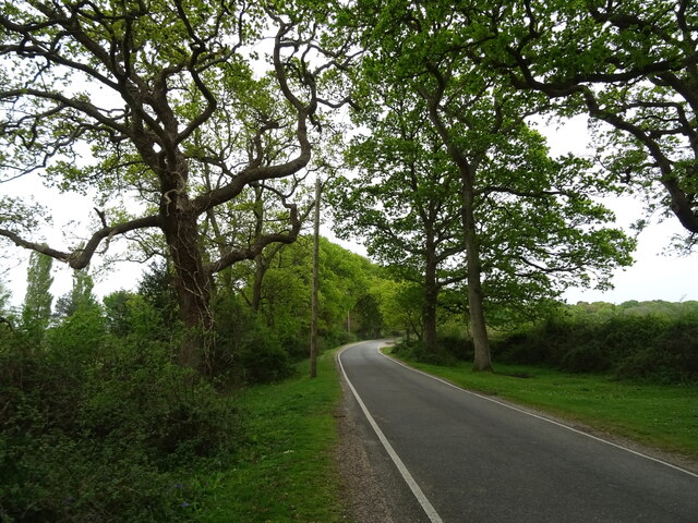
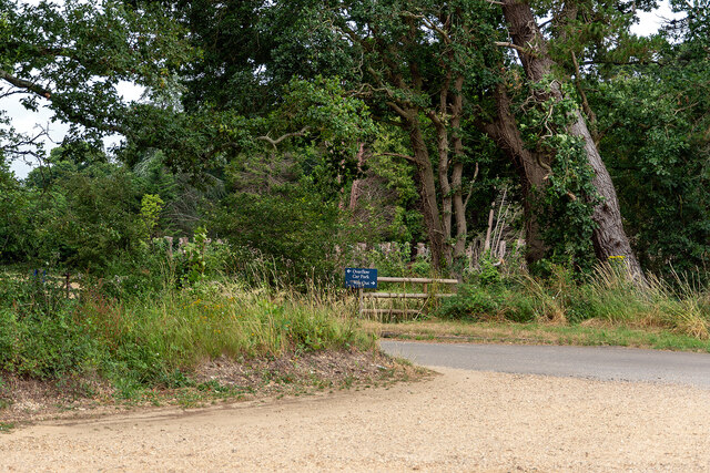
Keeping Copse is a beautiful woodland located in Hampshire, England. Spanning across a vast area of approximately 500 acres, this enchanting forest is a natural haven for both wildlife and nature enthusiasts alike. It is situated on the outskirts of the village of Keeping, hence its name, and is easily accessible for visitors from nearby towns and cities.
The copse is predominantly comprised of broadleaf trees such as oak, beech, and birch, creating a diverse and vibrant landscape throughout the seasons. The woodland floor is adorned with a rich carpet of wildflowers, including bluebells in the springtime, adding to the picturesque beauty of the area.
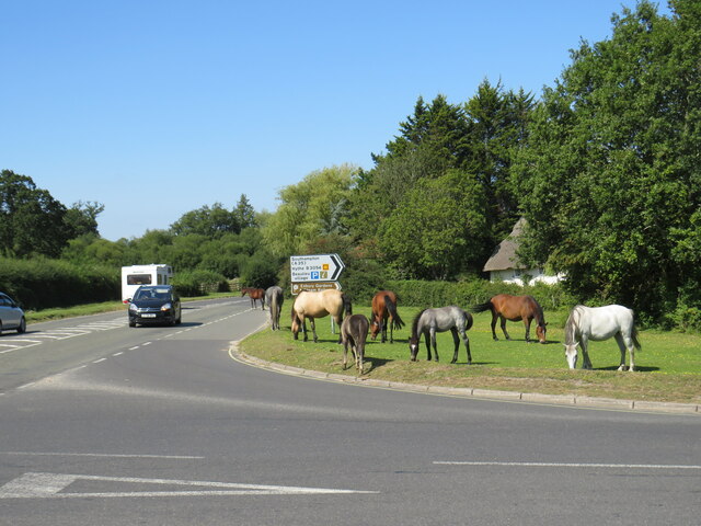
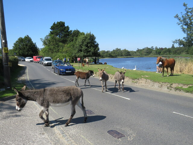
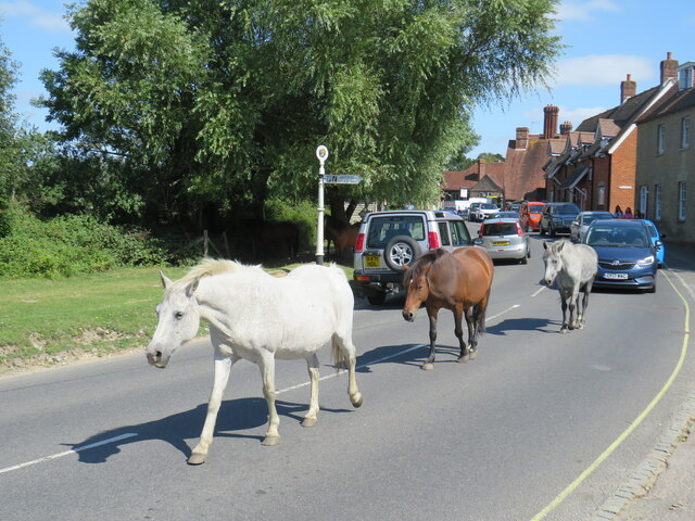
Keeping Copse is a designated Site of Special Scientific Interest (SSSI) due to its significant ecological value. It provides a habitat for a wide range of wildlife, including various bird species, small mammals, and insects. The forest is particularly known for its diverse bird population, with species such as woodpeckers, nightingales, and tits frequently spotted by birdwatchers.
The copse offers a plethora of recreational activities for visitors to enjoy. There are numerous walking trails and paths that wind through the woodland, providing opportunities for leisurely strolls, jogging, or even more challenging hikes. Additionally, the forest has designated picnic areas, making it an ideal spot for families and friends to enjoy a day out in nature.
Keeping Copse is a place of tranquility and natural beauty that offers a unique glimpse into the wonders of the Hampshire countryside. Whether it's exploring the woodland, observing wildlife, or simply enjoying a peaceful picnic amidst the trees, this forest provides an escape from the hustle and bustle of everyday life.
If you have any feedback on the listing, please let us know in the comments section below.
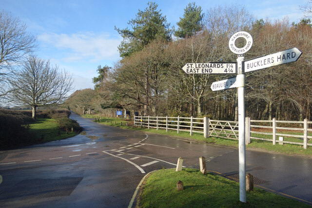
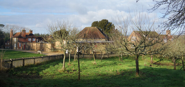
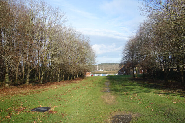
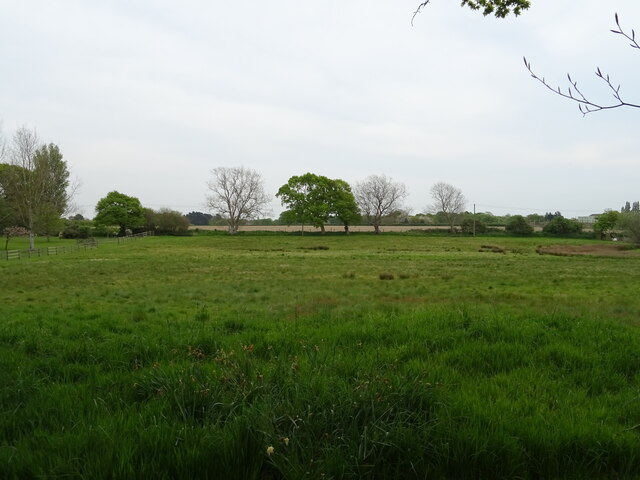
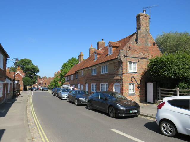
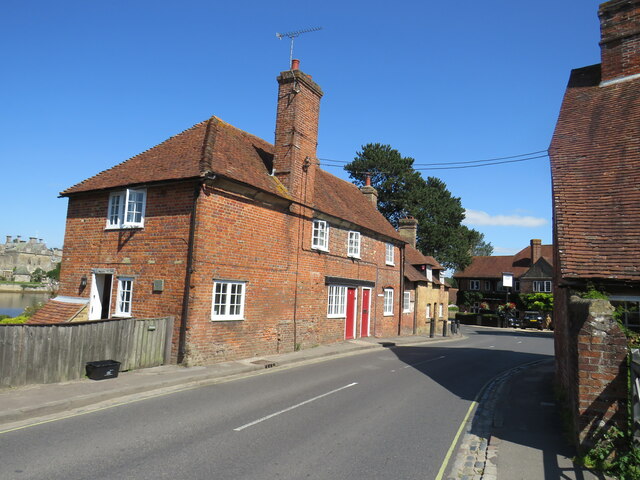
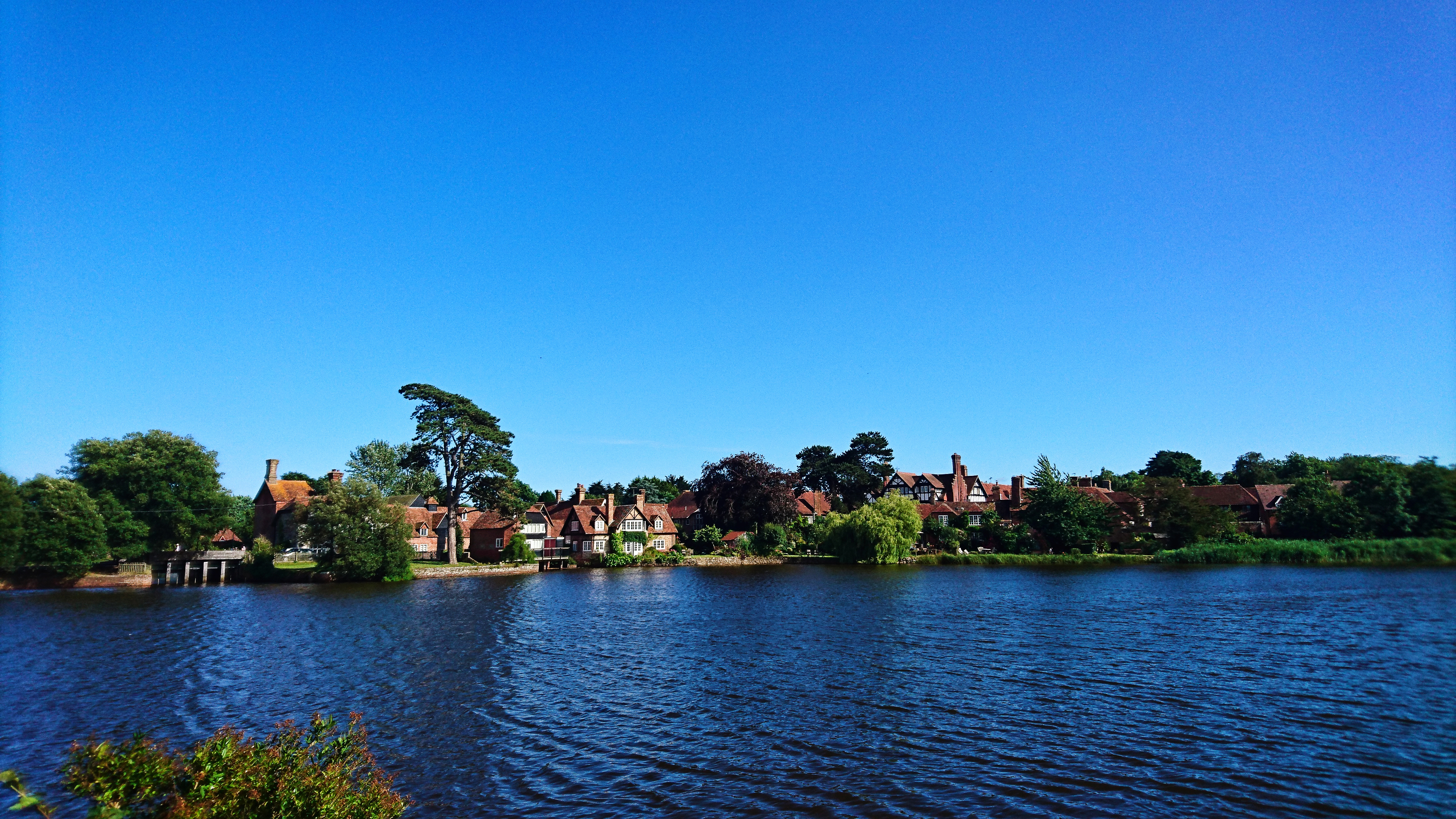
Keeping Copse Images
Images are sourced within 2km of 50.807152/-1.4389501 or Grid Reference SU3900. Thanks to Geograph Open Source API. All images are credited.
Keeping Copse is located at Grid Ref: SU3900 (Lat: 50.807152, Lng: -1.4389501)
Administrative County: Hampshire
District: New Forest
Police Authority: Hampshire
What 3 Words
///rational.belonging.factually. Near Hythe, Hampshire
Nearby Locations
Related Wikis

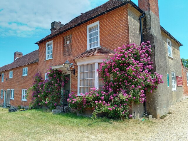
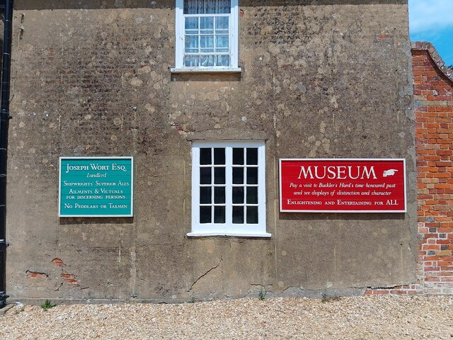
Buckler's Hard
Buckler's Hard is a hamlet on the banks of the Beaulieu River in the English county of Hampshire. With its Georgian cottages running down to the river...
Beaulieu, Hampshire
Beaulieu ( BEW-lee) is a small village located on the southeastern edge of the New Forest national park in Hampshire, England, and home to both Palace...
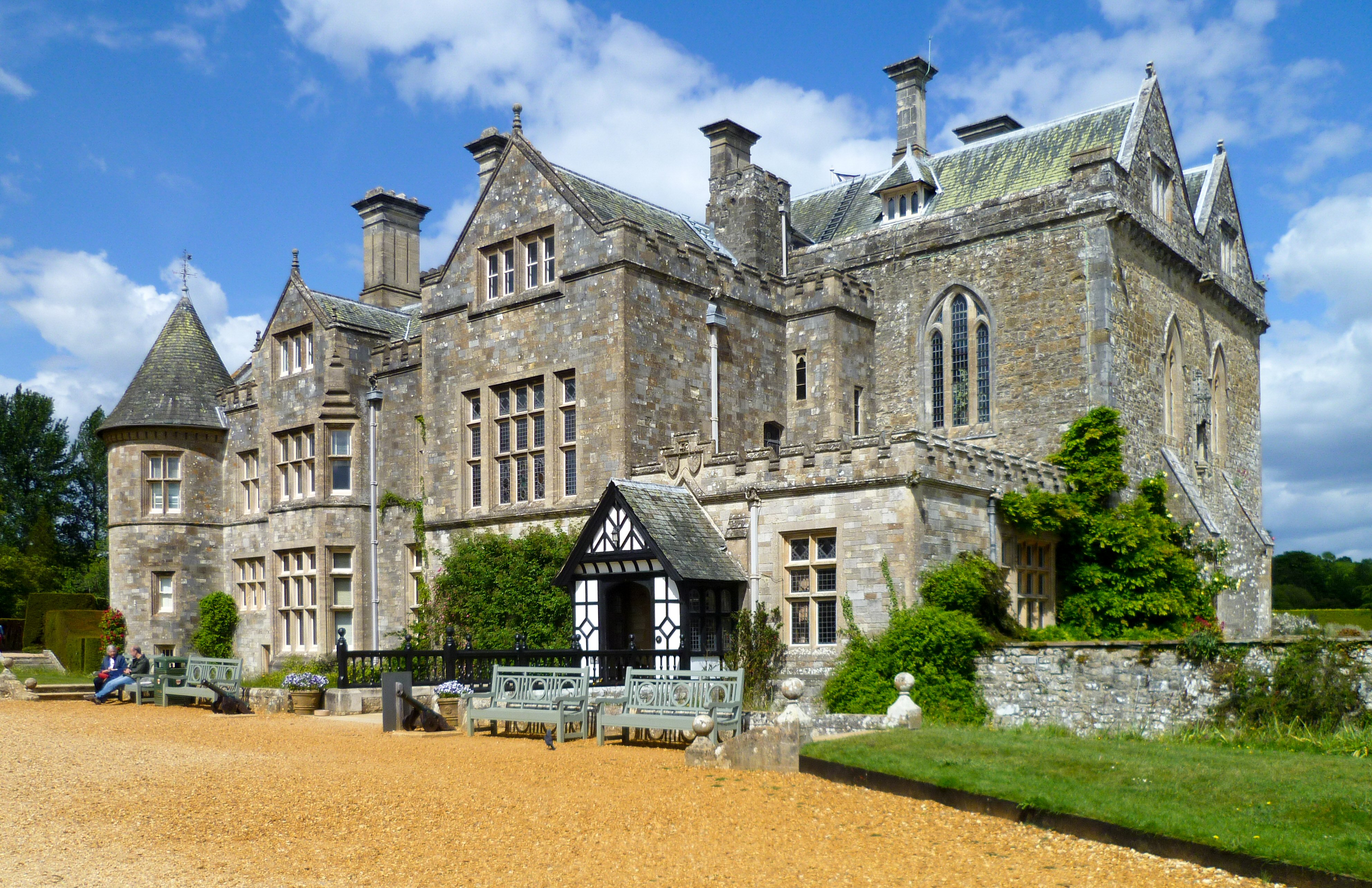
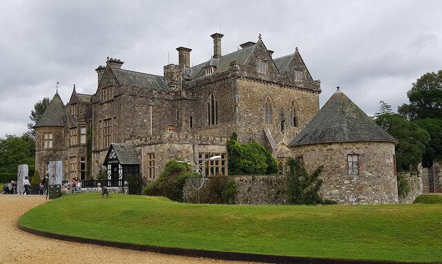
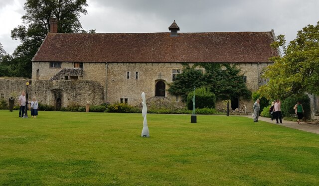
Beaulieu Palace House
Beaulieu Palace House ( BEW-lee) is a 13th-century house in Beaulieu, Hampshire, United Kingdom. Originally part of Beaulieu Abbey, the estate was bought...
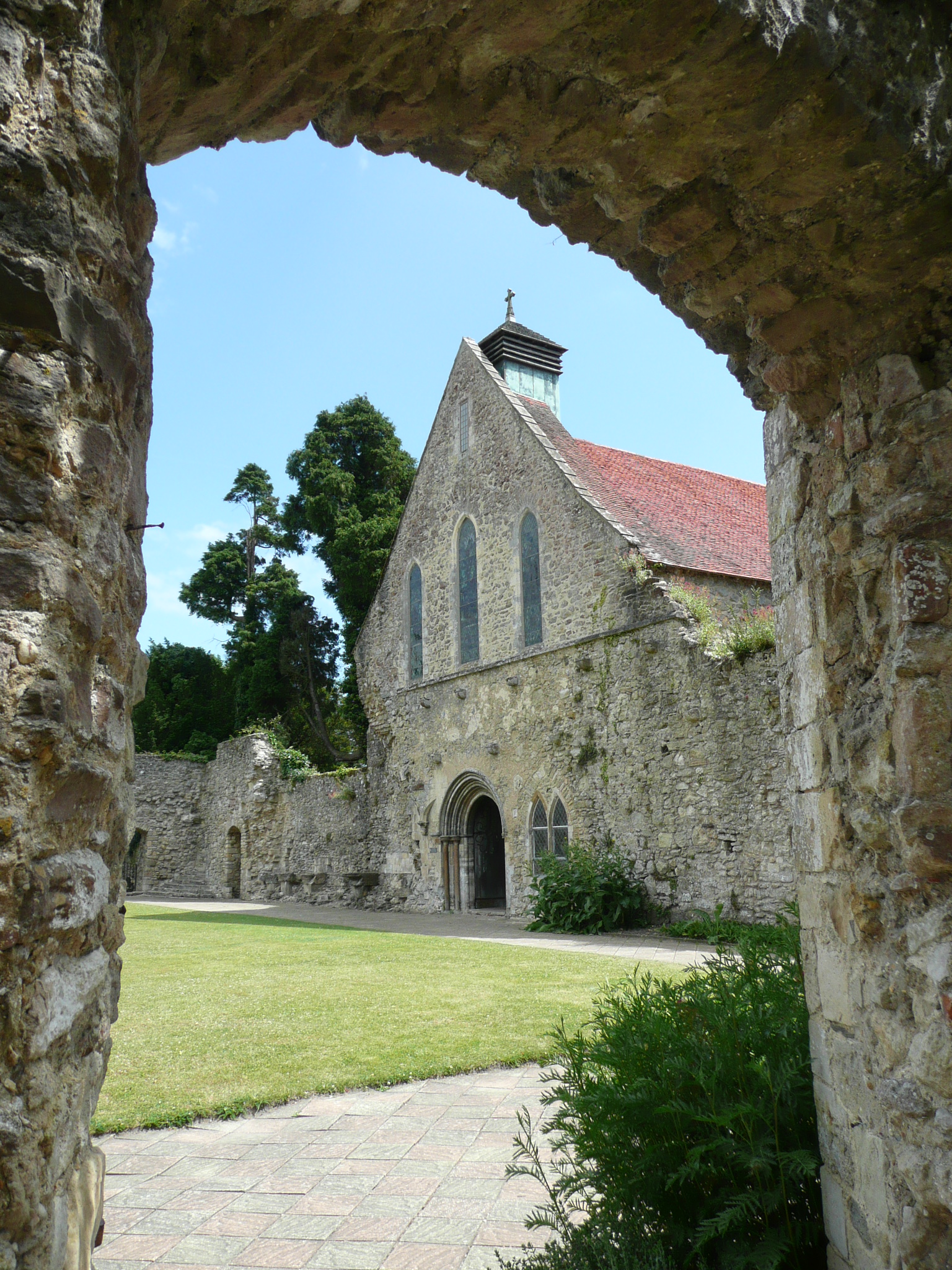
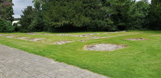
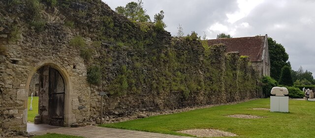
Beaulieu Abbey
Beaulieu Abbey was a Cistercian abbey in Hampshire, England. It was founded in 1203–1204 by King John and (uniquely in Britain) populated by 30 monks sent...

National Motor Museum, Beaulieu
The National Motor Museum (originally the Montagu Motor Museum) is a museum in the village of Beaulieu, set in the heart of the New Forest, in the English...
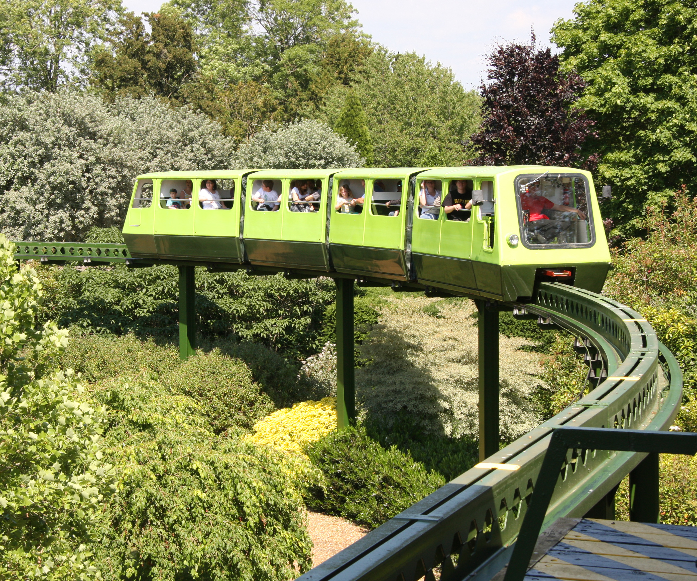
National Motor Museum Monorail
The Beaulieu Monorail is England's first monorail, linking the National Motor Museum to the Beaulieu Palace House. the monorail line passes through the...

East Boldre
East Boldre is a linear village and civil parish situated near Lymington, Hampshire, England. East Boldre is surrounded by the New Forest and forms part...

New Forest East (UK Parliament constituency)
New Forest East is a constituency in Hampshire represented in the House of Commons of the UK Parliament since its creation in 1997 by Julian Lewis of the...
Nearby Amenities
Located within 500m of 50.807152,-1.4389501Have you been to Keeping Copse?
Leave your review of Keeping Copse below (or comments, questions and feedback).