Harry's Plantation
Wood, Forest in Oxfordshire West Oxfordshire
England
Harry's Plantation
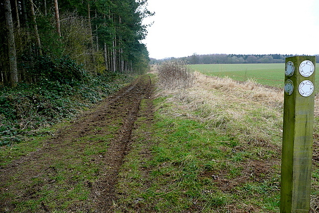
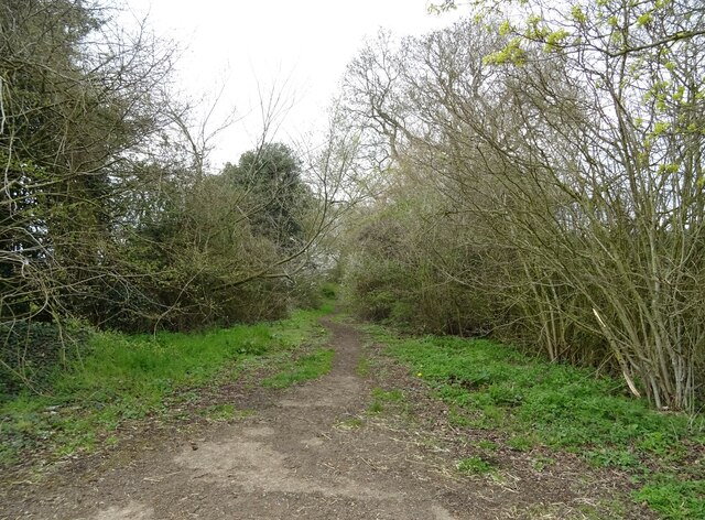
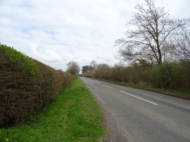
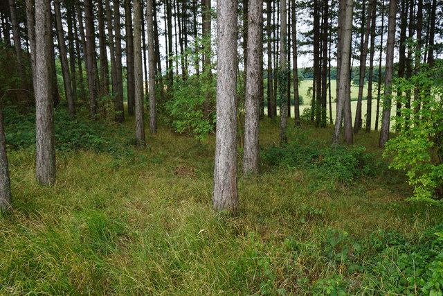
Harry's Plantation is a picturesque woodland area located in Oxfordshire, England. Situated in the heart of the county, it covers an expansive area of lush greenery and is renowned for its natural beauty. The plantation is characterized by its dense forest, sprawling woodlands, and a variety of indigenous tree species.
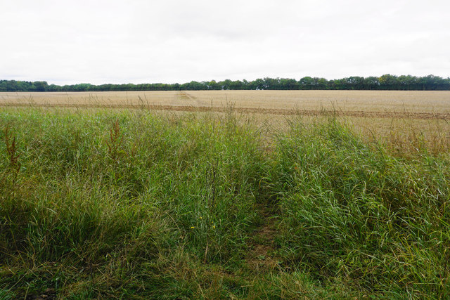
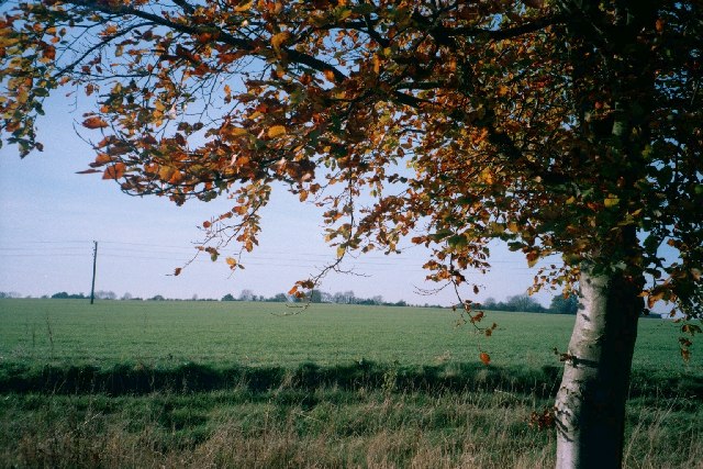
Spanning over several hectares, Harry's Plantation serves as a haven for wildlife and provides a sanctuary for numerous bird species, mammals, and insects. The diverse ecosystem supports a wide range of flora and fauna, including oak, beech, and birch trees, which dominate the landscape.
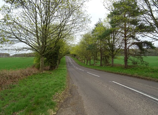
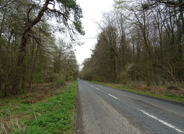
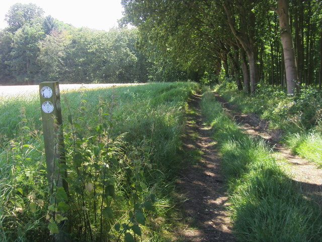
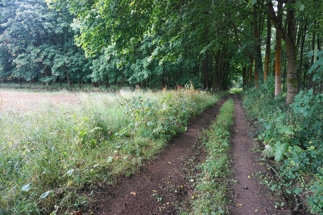
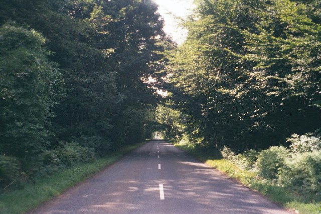
Visitors to Harry's Plantation can explore its enchanting trails and pathways, which wind through the forest, offering a tranquil and immersive experience in nature. The plantation is a popular destination for outdoor enthusiasts, hikers, and nature lovers, who can enjoy the serenity of the surroundings and engage in activities such as birdwatching, photography, and picnicking.
The peaceful ambiance of Harry's Plantation makes it an ideal location for relaxation and reflection. The crisp air and the soothing sounds of birdsong create a calming atmosphere, providing an escape from the bustling city life. The plantation also serves as an educational resource, with guided tours and informative signage available to enhance visitors' understanding of the local ecosystem and its importance in sustaining biodiversity.
Overall, Harry's Plantation in Oxfordshire is a captivating woodland retreat that offers a harmonious blend of natural beauty, wildlife habitat, and recreational opportunities for individuals seeking solace in nature.
If you have any feedback on the listing, please let us know in the comments section below.
Harry's Plantation Images
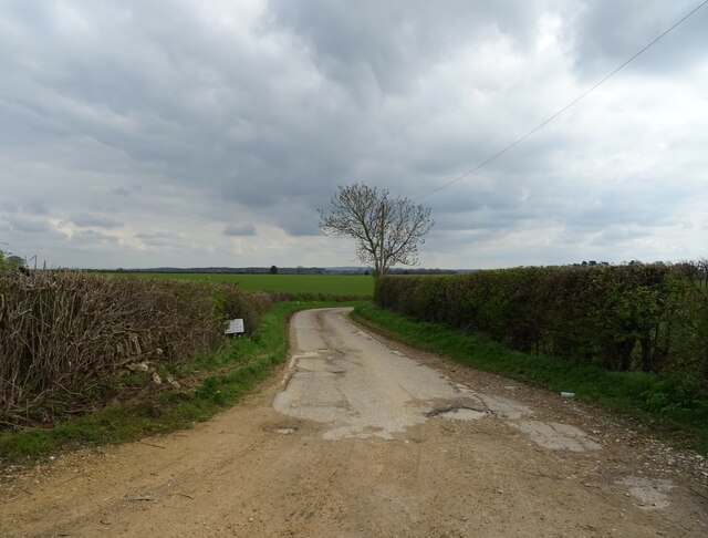
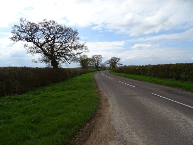
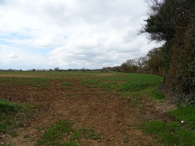
Images are sourced within 2km of 51.874783/-1.4256231 or Grid Reference SP3919. Thanks to Geograph Open Source API. All images are credited.


Harry's Plantation is located at Grid Ref: SP3919 (Lat: 51.874783, Lng: -1.4256231)
Administrative County: Oxfordshire
District: West Oxfordshire
Police Authority: Thames Valley
What 3 Words
///vowed.diplomas.procured. Near Stonesfield, Oxfordshire
Nearby Locations
Related Wikis

Pheleley Priory
Pheleley Priory was a small 12th-century Benedictine monastic community located in a detached part of Bloxham, near Charlbury, in the English county of...

Salt Way, Ditchley
Salt Way, Ditchley is a 2-hectare (4.9-acre) biological Site of Special Scientific Interest (SSSI) east of Charlbury in Oxfordshire. It is also a Local...

Out Wood
Out Wood is a 19.2-hectare (47-acre) biological Site of Special Scientific Interest east of Charlbury in Oxfordshire.This semi-natural wood is a surviving...

Ditchley Park
Ditchley Park is a country house near Charlbury in Oxfordshire, England. The estate was once the site of a Roman villa. Later it became a royal hunting...
Asterleigh
Asterleigh, sometimes in the past called Esterley, is a farm and deserted medieval village about 3 miles (4.8 km) northeast of Charlbury in Oxfordshire...

Stonesfield
Stonesfield is a village and civil parish about 5 miles (8 km) north of Witney in Oxfordshire, and about 10 miles (17 km) north-west of Oxford. The village...
Cornbury and Wychwood
Cornbury and Wychwood is a civil parish in West Oxfordshire. It includes the country estate of Cornbury Park (Ordnance Survey grid reference SP350181)...

Over Kiddington
Over Kiddington is a hamlet in the civil parish of Kiddington with Asterleigh in Oxfordshire, England, about 7 miles (11 km) southeast of Chipping Norton...
Nearby Amenities
Located within 500m of 51.874783,-1.4256231Have you been to Harry's Plantation?
Leave your review of Harry's Plantation below (or comments, questions and feedback).