Wiltons Plantation
Wood, Forest in Oxfordshire West Oxfordshire
England
Wiltons Plantation
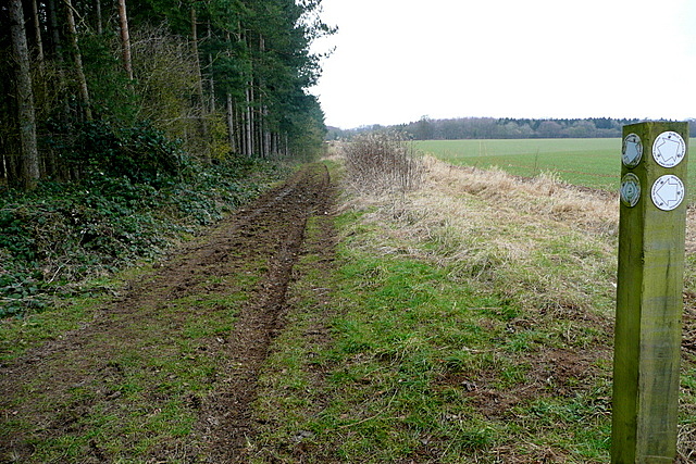
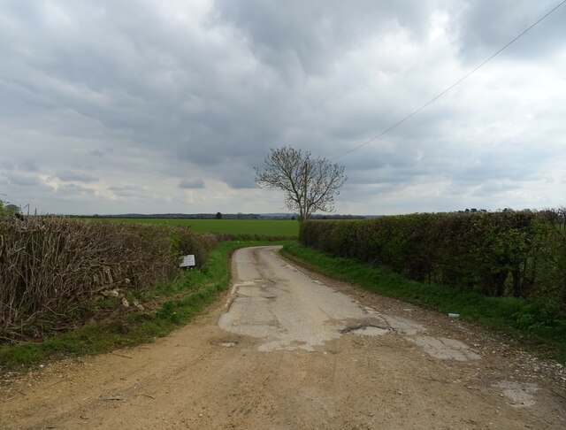
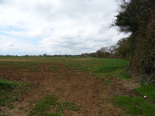
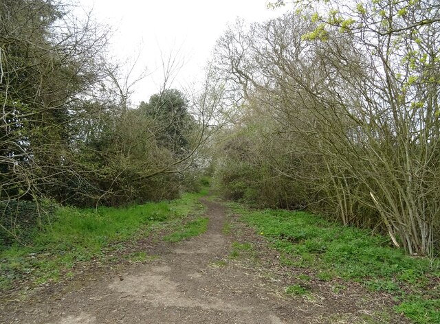
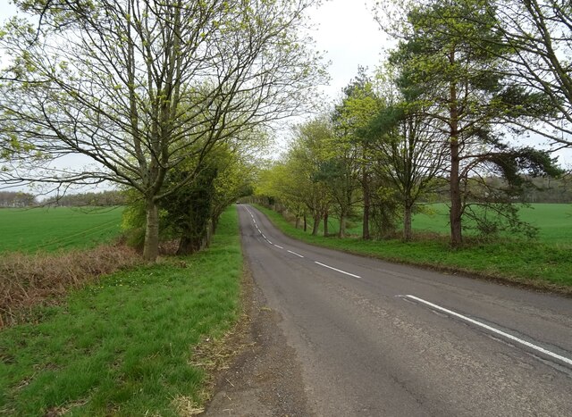
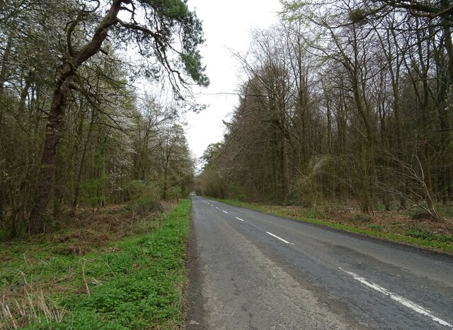
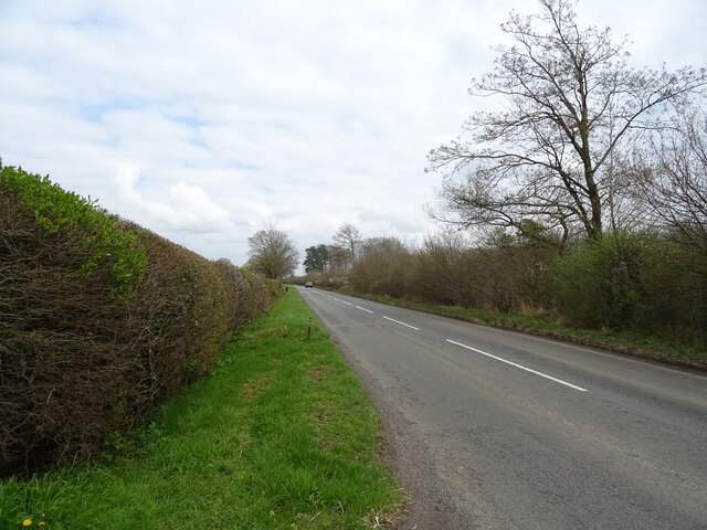
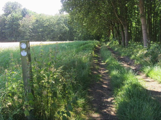
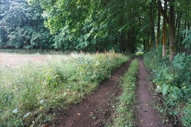
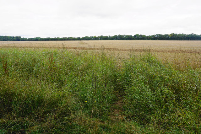
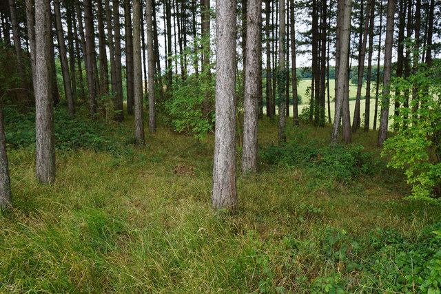
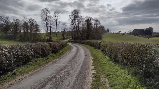
Wiltons Plantation is a beautiful woodland located in Oxfordshire, England. Covering an area of approximately 100 acres, it is situated near the town of Wood and is known for its rich history and diverse flora and fauna.
The plantation is believed to have been established in the early 19th century, making it one of the oldest woodlands in the region. It was initially used as a hunting ground for the local nobility, but later transformed into a managed forest. Today, it serves as a popular recreational area for locals and visitors alike.
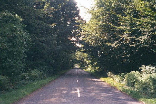
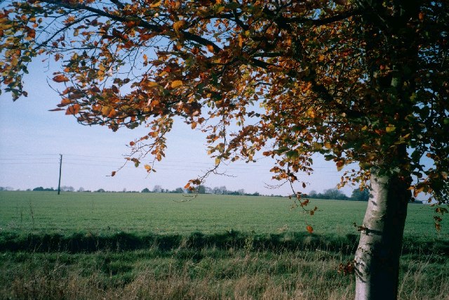
The woodland is characterized by a mix of deciduous and coniferous trees, including oak, beech, pine, and spruce. These trees provide a picturesque landscape throughout the year, especially during the autumn months when the leaves turn vibrant shades of red and gold.
Wiltons Plantation is home to a wide variety of wildlife, making it a haven for nature enthusiasts. Visitors may spot deer, rabbits, squirrels, and an array of bird species, including woodpeckers and owls. The woodland also features several walking trails, allowing visitors to explore its beauty at their own pace.
In addition to its natural beauty, Wiltons Plantation also boasts historical importance. The remnants of an ancient Roman road can be found within the woodland, adding to its charm and significance.
Overall, Wiltons Plantation in Oxfordshire is a picturesque and historically significant woodland that offers a tranquil escape for those seeking to immerse themselves in nature.
If you have any feedback on the listing, please let us know in the comments section below.
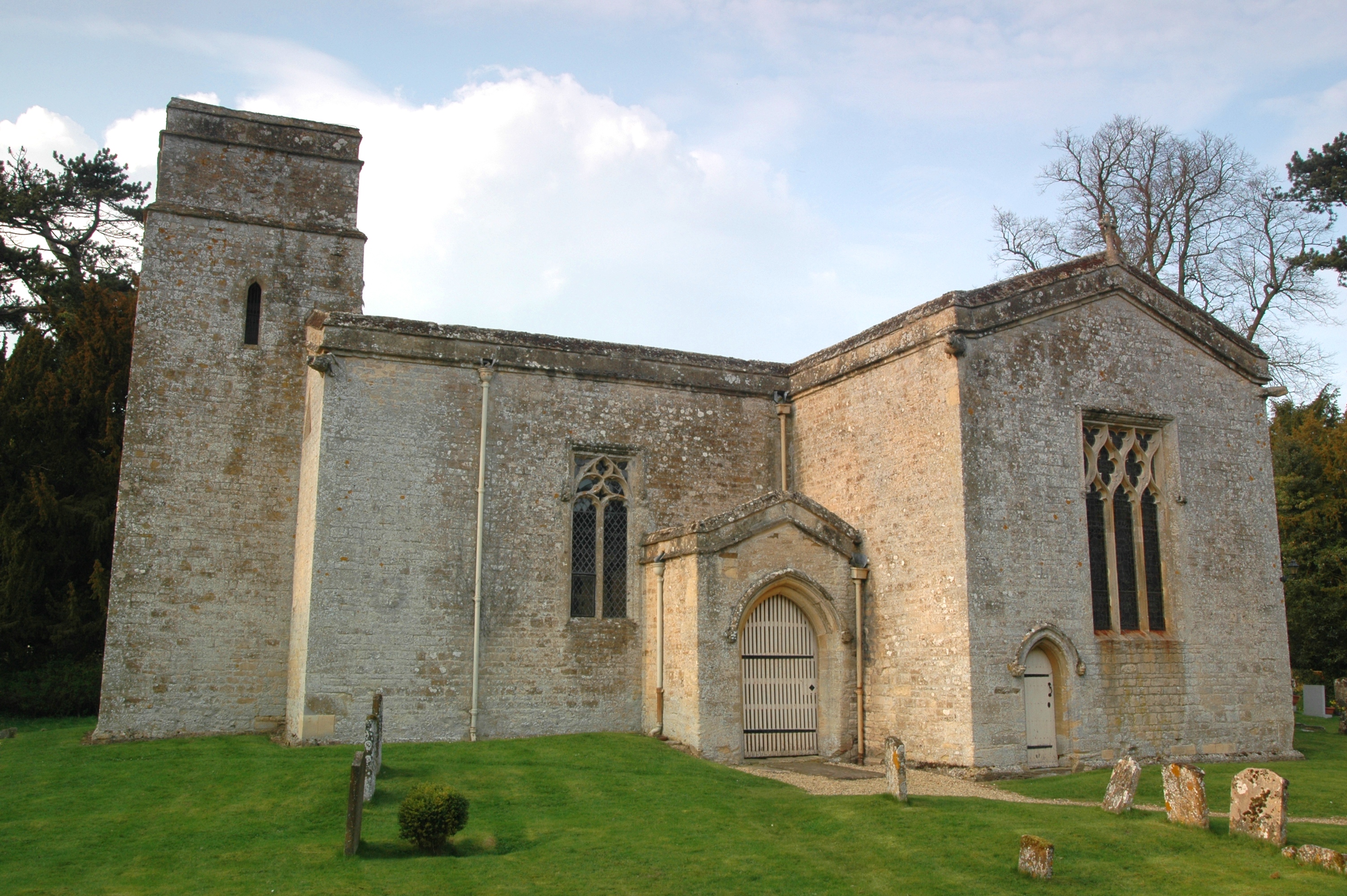
Wiltons Plantation Images
Images are sourced within 2km of 51.880948/-1.4268956 or Grid Reference SP3920. Thanks to Geograph Open Source API. All images are credited.


Wiltons Plantation is located at Grid Ref: SP3920 (Lat: 51.880948, Lng: -1.4268956)
Administrative County: Oxfordshire
District: West Oxfordshire
Police Authority: Thames Valley
What 3 Words
///slider.amounting.chambers. Near Stonesfield, Oxfordshire
Nearby Locations
Related Wikis

Pheleley Priory
Pheleley Priory was a small 12th-century Benedictine monastic community located in a detached part of Bloxham, near Charlbury, in the English county of...

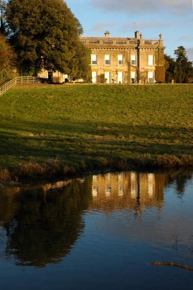
Ditchley Park
Ditchley Park is a country house near Charlbury in Oxfordshire, England. The estate was once the site of a Roman villa. Later it became a royal hunting...

Out Wood
Out Wood is a 19.2-hectare (47-acre) biological Site of Special Scientific Interest east of Charlbury in Oxfordshire.This semi-natural wood is a surviving...

Salt Way, Ditchley
Salt Way, Ditchley is a 2-hectare (4.9-acre) biological Site of Special Scientific Interest (SSSI) east of Charlbury in Oxfordshire. It is also a Local...
Asterleigh
Asterleigh, sometimes in the past called Esterley, is a farm and deserted medieval village about 3 miles (4.8 km) northeast of Charlbury in Oxfordshire...

Over Kiddington
Over Kiddington is a hamlet in the civil parish of Kiddington with Asterleigh in Oxfordshire, England, about 7 miles (11 km) southeast of Chipping Norton...
Kiddington Hall
Kiddington Hall is a large Grade II listed manor house located in Kiddington, near Woodstock, Oxfordshire, England. == History == Kiddington Hall was built...
Kiddington
Kiddington is a village in the civil parish of Kiddington with Asterleigh, in the West Oxfordshire district, in the county of Oxfordshire, England. The...
Nearby Amenities
Located within 500m of 51.880948,-1.4268956Have you been to Wiltons Plantation?
Leave your review of Wiltons Plantation below (or comments, questions and feedback).