Spurnells Well Plantation

Wood, Forest in Oxfordshire West Oxfordshire

England

Spurnells Well Plantation

Bridleway junction This is a bridleway crossroads.  We are looking towards Ditchley Park, the leg used by Shakespeare's Way, having come in from the left.
Bridleway junction Credit: Graham Horn

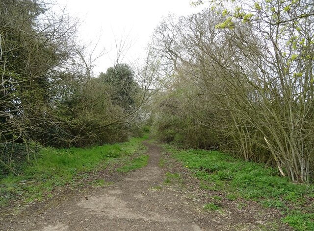
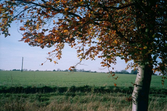
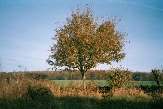
Spurnells Well Plantation is a picturesque woodland area located in Oxfordshire, England. Covering several acres of land, the plantation is nestled in the heart of a lush forest, providing a tranquil escape from the bustling city life.

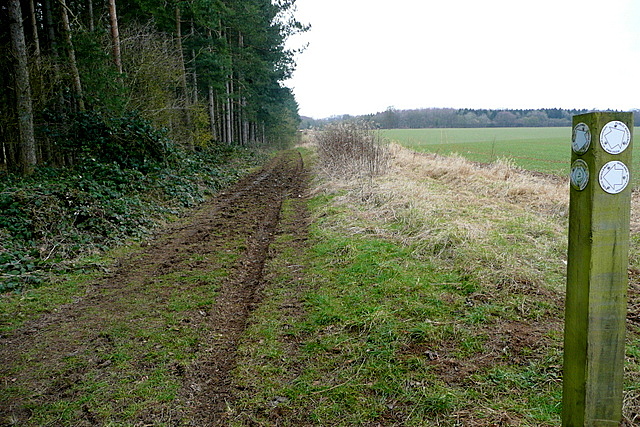
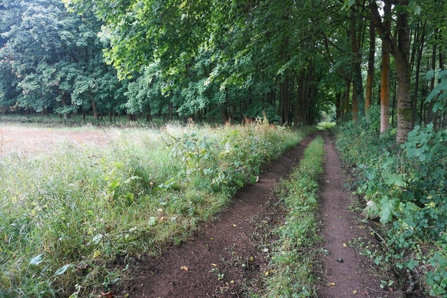
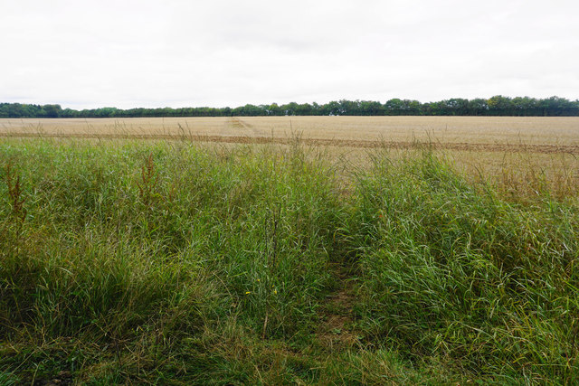
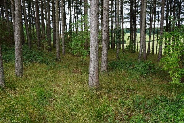
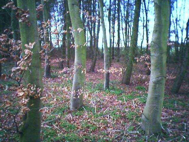
The woodland is characterized by an abundance of tall, mature trees, predominantly oak, beech, and ash. These majestic trees create a dense canopy, allowing only dappled sunlight to filter through, giving the plantation a mystical and enchanting ambiance. The forest floor is carpeted with a variety of wildflowers, ferns, and mosses, adding to the natural beauty of the area.

Spurnells Well, after which the plantation is named, is a small natural spring that emerges within the woodland. The crystal-clear water trickles gently, forming a small stream that meanders through the trees, providing a source of hydration for the local wildlife.

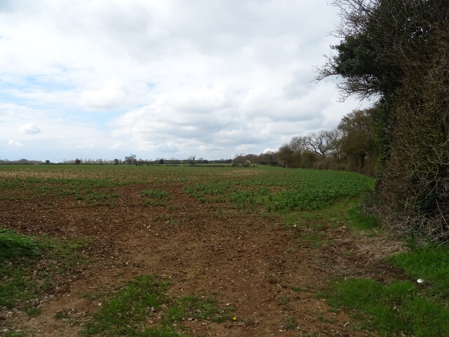
The plantation is home to a diverse array of flora and fauna. It serves as a sanctuary for numerous bird species, including woodpeckers, owls, and songbirds, which fill the air with their melodic calls. Squirrels, rabbits, and deer can also be spotted here, adding to the charm of the woodland.

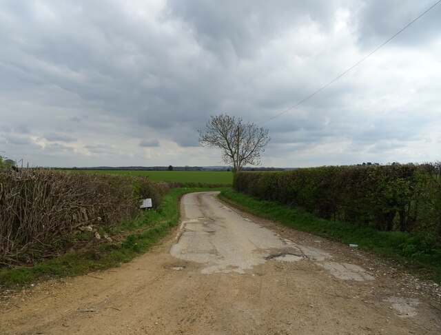
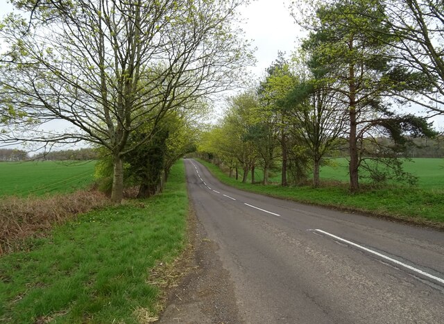
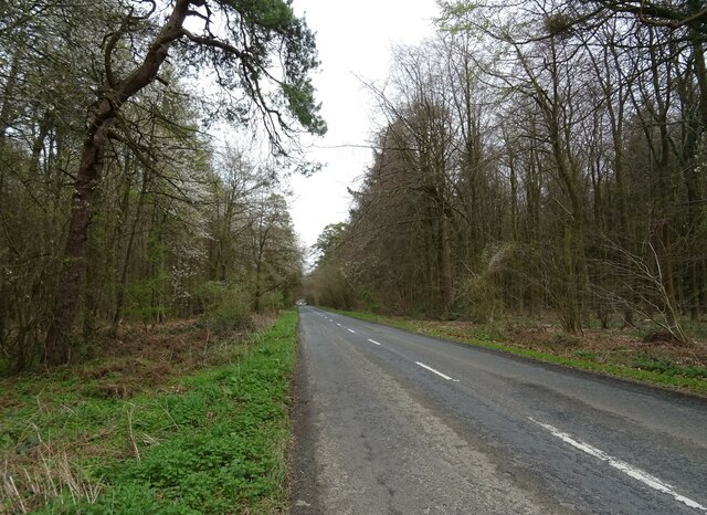
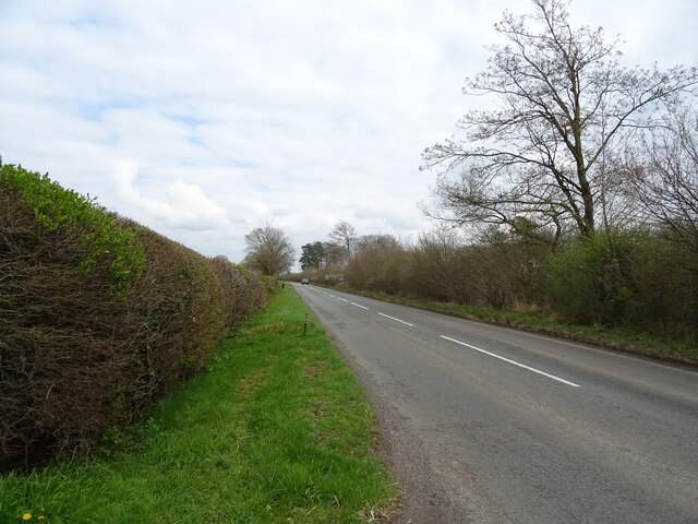
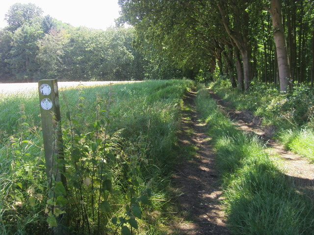
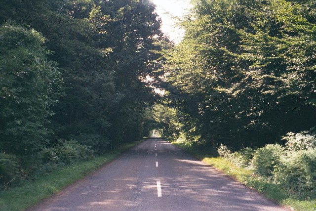
Visitors to Spurnells Well Plantation can explore the network of well-maintained walking trails that wind through the woodland. These trails offer breathtaking views of the surrounding countryside and provide a perfect opportunity for nature enthusiasts to immerse themselves in the tranquility of the forest.

Overall, Spurnells Well Plantation in Oxfordshire offers a serene and magical experience, where one can connect with nature and find solace amidst the beauty of the woodland.

If you have any feedback on the listing, please let us know in the comments section below.

Spurnells Well Plantation Images

Images are sourced within 2km of 51.878901/-1.4312362 or Grid Reference SP3920. Thanks to Geograph Open Source API. All images are credited.

Bridleway junction This is a bridleway crossroads.  We are looking towards Ditchley Park, the leg used by Shakespeare's Way, having come in from the left.
Bridleway junction
This is a bridleway crossroads. We are looking towards Ditchley Park, the leg used by Shakespeare's Way, having come in from the left.
Track (footpath) to Hill Barn Farm
B4437 towards Charlbury
Crop field off the B4437
The Wychwood Way footpath
B4437 heading east
B4437 heading east
Woodland beside the B4437
B4437 beside Sheer's Copse woodland
Gated road to Kingswood Farm
B4437 heading east towards the A44
Shakespeare's Way Shakespeare's Way cuts off to the right to Kingswood Bottom
Shakespeare's Way
Shakespeare's Way cuts off to the right to Kingswood Bottom
Track by a woodland corner The track heads on into the woods in Kingswood Bottom.
Track by a woodland corner
The track heads on into the woods in Kingswood Bottom.
Path across a harvested field Heading towards Over Kiddington, and its line has been preserved quite clearly over the field.
Path across a harvested field
Heading towards Over Kiddington, and its line has been preserved quite clearly over the field.
Band of woodland above Kingswood Bottom The woodland lines the south side of Shakespeare's Way.
Band of woodland above Kingswood Bottom
The woodland lines the south side of Shakespeare's Way.
Pintle Stripe near Charlbury Pintle Stripe is a thin lengthy copse on the Hundley Way track near Charlbury in Oxfordshire.
Pintle Stripe near Charlbury
Pintle Stripe is a thin lengthy copse on the Hundley Way track near Charlbury in Oxfordshire.
B4437 through Sheer's Copse A rare straight stretch on this road, through a thick patch of woodland. <a href="https://www.geograph.org.uk/photo/43800">SP3118 : B4437 near Ascott-under-Wychwood</a> is the same road, five miles to the west.
B4437 through Sheer's Copse
A rare straight stretch on this road, through a thick patch of woodland. SP3118 : B4437 near Ascott-under-Wychwood is the same road, five miles to the west.
Tree, track and field This image is taken facing west from the side of a track that runs from the B4022 <a href="https://www.geograph.org.uk/photo/85424">SP3621 : Unsuitable for motors</a>, south-east to <a href="https://www.geograph.org.uk/photo/85427">SP3721 : Track near Norman's Grove</a>, then past an entrance to Ditchley Park, which is a few hundred yards north of this point. It then continues towards Stonesfield. The next image, just south of Dustfield Farm, is <a href="https://www.geograph.org.uk/photo/85436">SP3819 : Tree and Ash Copse</a>.
Tree, track and field
This image is taken facing west from the side of a track that runs from the B4022 SP3621 : Unsuitable for motors, south-east to SP3721 : Track near Norman's Grove, then past an entrance to Ditchley Park, which is a few hundred yards north of this point. It then continues towards Stonesfield. The next image, just south of Dustfield Farm, is SP3819 : Tree and Ash Copse.
Tree and Ash Copse This image is taken facing north-east from a track that runs south-east from the B4022 <a href="https://www.geograph.org.uk/photo/85424">SP3621 : Unsuitable for motors</a> to near Stonesfield: an image a few hundred yards north of this one is at <a href="https://www.geograph.org.uk/photo/85434">SP3820 : Tree, track and field</a>. At this stage, the track runs through large open fields, but is lined with hedgerow and trees such as this one. Ash Copse, which is also within this grid-square, is visible in the background.
Tree and Ash Copse
This image is taken facing north-east from a track that runs south-east from the B4022 SP3621 : Unsuitable for motors to near Stonesfield: an image a few hundred yards north of this one is at SP3820 : Tree, track and field. At this stage, the track runs through large open fields, but is lined with hedgerow and trees such as this one. Ash Copse, which is also within this grid-square, is visible in the background.
Show me another place!

Spurnells Well Plantation is located at Grid Ref: SP3920 (Lat: 51.878901, Lng: -1.4312362)

Administrative County: Oxfordshire

District: West Oxfordshire

Police Authority: Thames Valley

What 3 Words

///invisible.fetches.employ. Near Stonesfield, Oxfordshire

Related Wikis

Pheleley Priory

Pheleley Priory was a small 12th-century Benedictine monastic community located in a detached part of Bloxham, near Charlbury, in the English county of...

Ditchley Park

Ditchley Park is a country house near Charlbury in Oxfordshire, England. The estate was once the site of a Roman villa. Later it became a royal hunting...

Salt Way, Ditchley

Salt Way, Ditchley is a 2-hectare (4.9-acre) biological Site of Special Scientific Interest (SSSI) east of Charlbury in Oxfordshire. It is also a Local...

Out Wood

Out Wood is a 19.2-hectare (47-acre) biological Site of Special Scientific Interest east of Charlbury in Oxfordshire.This semi-natural wood is a surviving...

Asterleigh

Asterleigh, sometimes in the past called Esterley, is a farm and deserted medieval village about 3 miles (4.8 km) northeast of Charlbury in Oxfordshire...

Over Kiddington

Over Kiddington is a hamlet in the civil parish of Kiddington with Asterleigh in Oxfordshire, England, about 7 miles (11 km) southeast of Chipping Norton...

Cornbury and Wychwood

Cornbury and Wychwood is a civil parish in West Oxfordshire. It includes the country estate of Cornbury Park (Ordnance Survey grid reference SP350181)...

Blenheim Farm

Blenheim Farm is a 1-hectare (2.5-acre) nature reserve near Charlbury in Oxfordshire. It is owned and managed by the Berkshire, Buckinghamshire and Oxfordshire...

Nearby Amenities

Located within 500m of 51.878901,-1.4312362
Power: pole
Lat/Long: 51.874995/-1.4316498
Power: pole
Lat/Long: 51.8755895/-1.4306729
Power: pole
Lat/Long: 51.8761806/-1.4297139
The data included in this document is from www.openstreetmap.org. The data is made available under ODbL.

Have you been to Spurnells Well Plantation?

Leave your review of Spurnells Well Plantation below (or comments, questions and feedback).